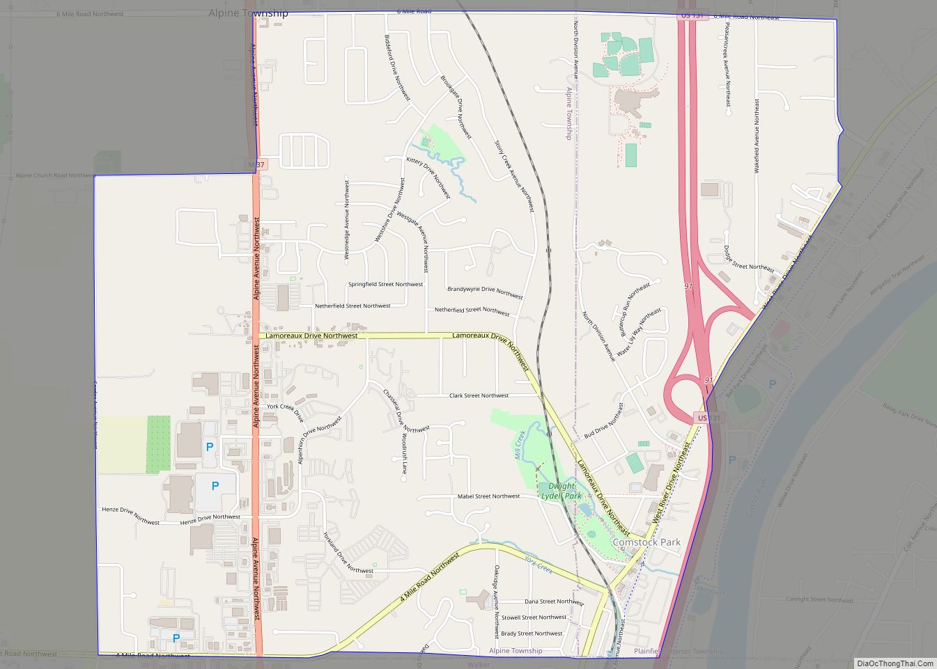
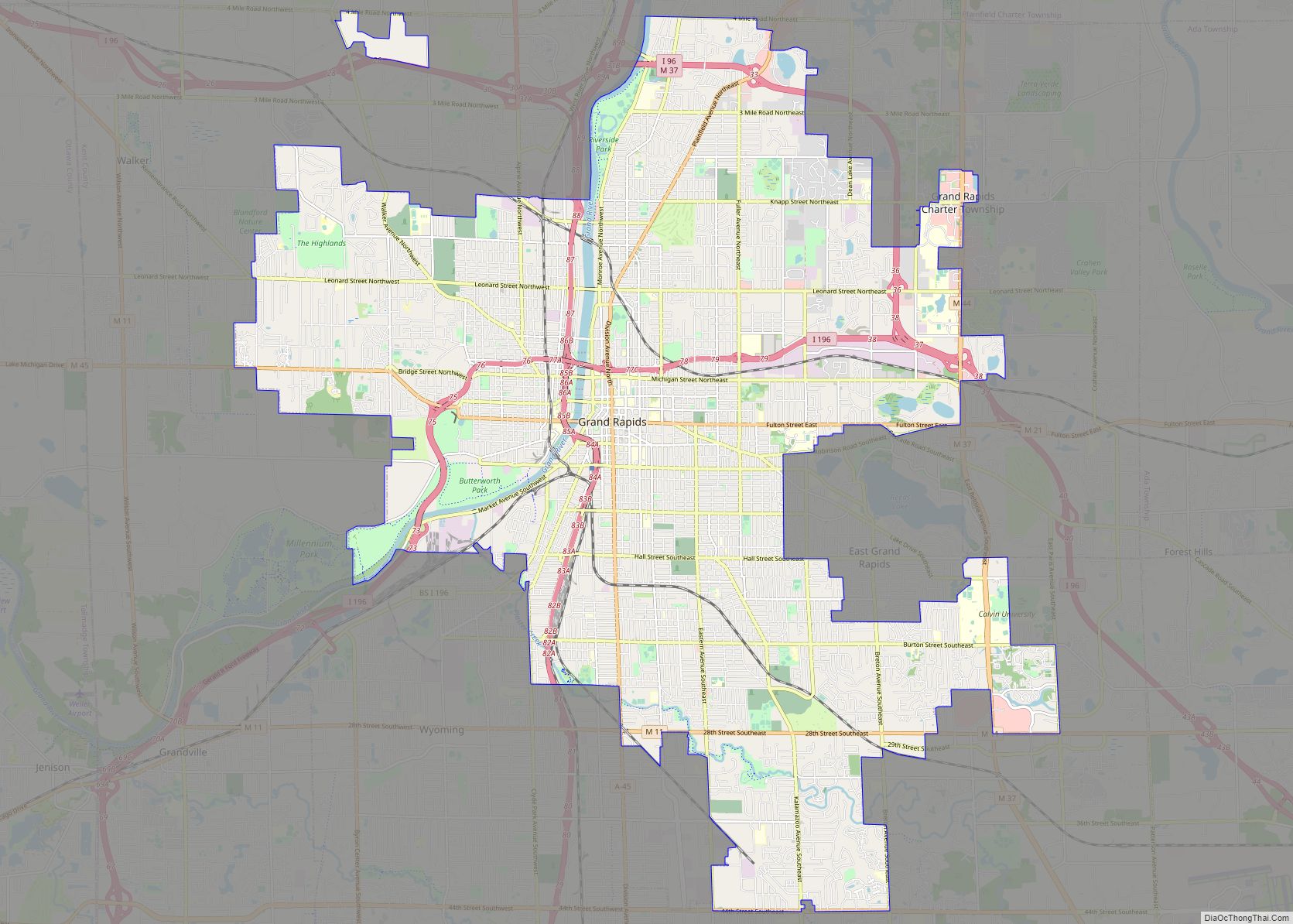
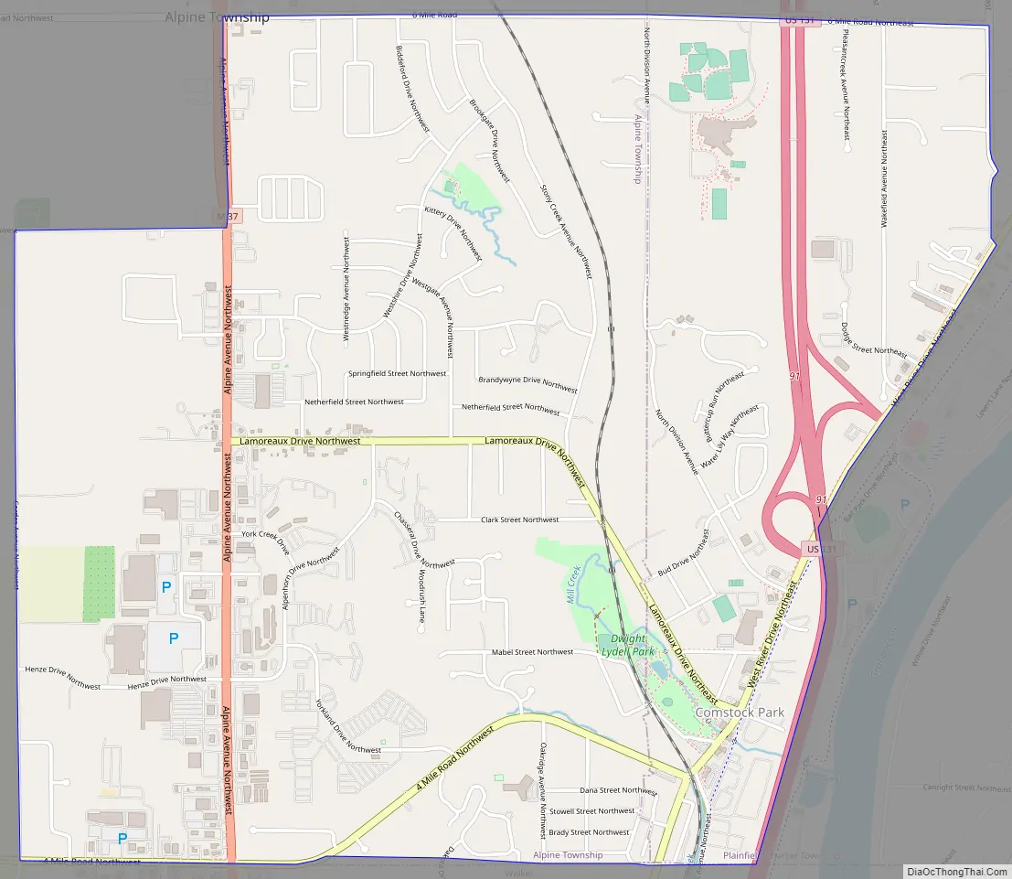
Comstock Park is an unincorporated community and census-designated place (CDP) in Kent County in the U.S. state of Michigan. The population was 10,088 at the 2010 census. The community is located within Alpine Township to the west and Plainfield Township to the east.
The community is part of the Grand Rapids metropolitan area, with the city of Walker to the south and Grand Rapids just to the southeast. Comstock Park is the home of the West Michigan Whitecaps, an affiliate of the Detroit Tigers, who play their games at LMCU Ballpark. The Fred Meijer White Pine Trail State Park also passes through the community.
| Name: | Comstock Park CDP |
|---|---|
| LSAD Code: | 57 |
| LSAD Description: | CDP (suffix) |
| State: | Michigan |
| County: | Kent County |
| Elevation: | 659 ft (201 m) |
| Total Area: | 3.89 sq mi (10.07 km²) |
| Land Area: | 3.88 sq mi (10.05 km²) |
| Water Area: | 0.01 sq mi (0.02 km²) |
| Total Population: | 10,500 |
| Population Density: | 2,706.88/sq mi (1,045.01/km²) |
| Area code: | 616 |
| FIPS code: | 2617700 |
| GNISfeature ID: | 0623677 |
Online Interactive Map
Click on ![]() to view map in "full screen" mode.
to view map in "full screen" mode.
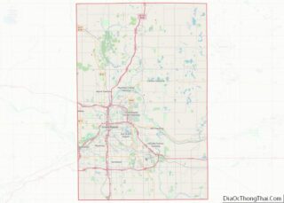
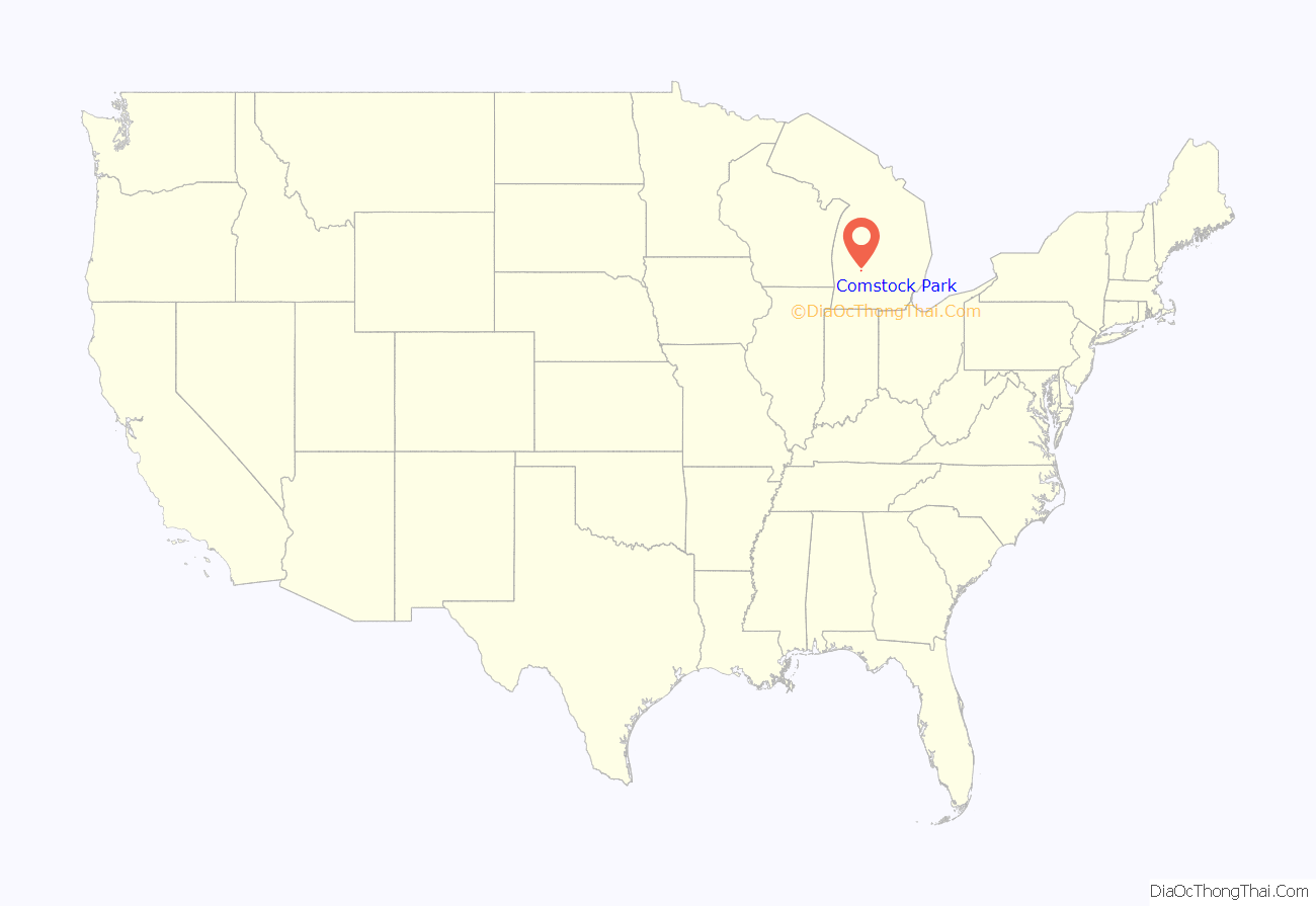
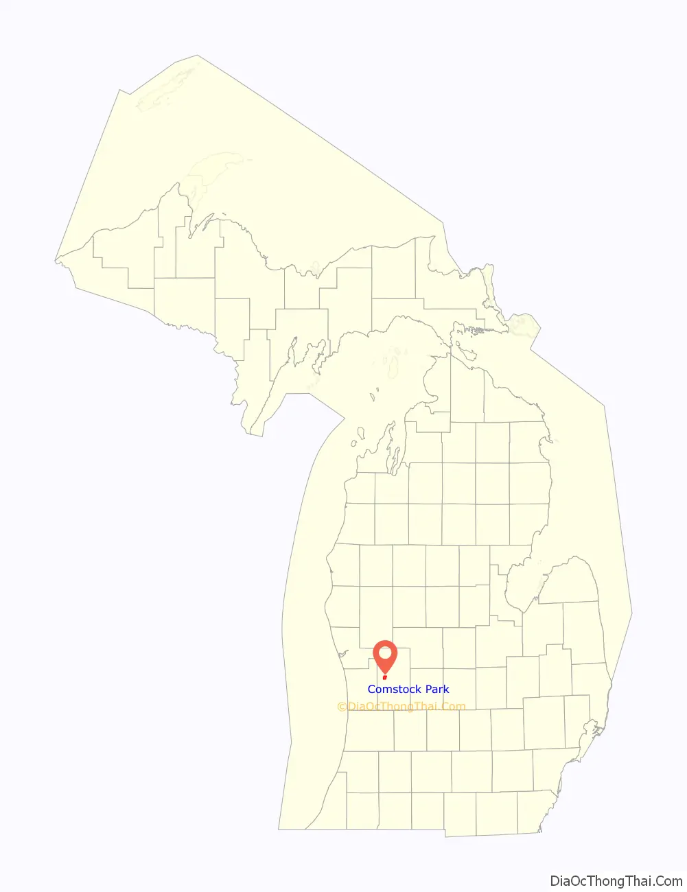
Comstock Park location map. Where is Comstock Park CDP?
History
In 1838, a settlement known as North’s Mill was established by Daniel North. The name changed to Mill Creek in 1848. The area became a major transportation hub, serving both the Grand Rapids and Indiana Railroad and Chicago and Western Indiana Railroad, and set the tone for becoming the northern Grand Rapids-area crossroads it is today. It was renamed Comstock Park in 1906 after politician Charles C. Comstock, who served the district in the U.S. House of Representatives for one term from 1885–1887.
Comstock Park Road Map
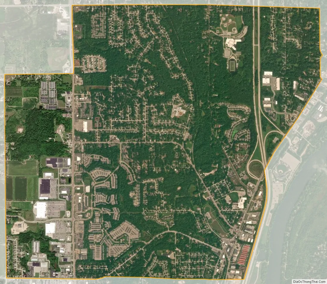
Comstock Park city Satellite Map
Geography
According to the U.S. Census Bureau, the Comstock Park CDP has a total area of 3.89 square miles (10.08 km), of which 3.88 square miles (10.05 km) is land and 0.01 square miles (0.03 km) (0.26%) is water.
The Grand River flows just east of the community.
See also
Map of Michigan State and its subdivision:- Alcona
- Alger
- Allegan
- Alpena
- Antrim
- Arenac
- Baraga
- Barry
- Bay
- Benzie
- Berrien
- Branch
- Calhoun
- Cass
- Charlevoix
- Cheboygan
- Chippewa
- Clare
- Clinton
- Crawford
- Delta
- Dickinson
- Eaton
- Emmet
- Genesee
- Gladwin
- Gogebic
- Grand Traverse
- Gratiot
- Hillsdale
- Houghton
- Huron
- Ingham
- Ionia
- Iosco
- Iron
- Isabella
- Jackson
- Kalamazoo
- Kalkaska
- Kent
- Keweenaw
- Lake
- Lake Hurron
- Lake Michigan
- Lake St. Clair
- Lake Superior
- Lapeer
- Leelanau
- Lenawee
- Livingston
- Luce
- Mackinac
- Macomb
- Manistee
- Marquette
- Mason
- Mecosta
- Menominee
- Midland
- Missaukee
- Monroe
- Montcalm
- Montmorency
- Muskegon
- Newaygo
- Oakland
- Oceana
- Ogemaw
- Ontonagon
- Osceola
- Oscoda
- Otsego
- Ottawa
- Presque Isle
- Roscommon
- Saginaw
- Saint Clair
- Saint Joseph
- Sanilac
- Schoolcraft
- Shiawassee
- Tuscola
- Van Buren
- Washtenaw
- Wayne
- Wexford
- Alabama
- Alaska
- Arizona
- Arkansas
- California
- Colorado
- Connecticut
- Delaware
- District of Columbia
- Florida
- Georgia
- Hawaii
- Idaho
- Illinois
- Indiana
- Iowa
- Kansas
- Kentucky
- Louisiana
- Maine
- Maryland
- Massachusetts
- Michigan
- Minnesota
- Mississippi
- Missouri
- Montana
- Nebraska
- Nevada
- New Hampshire
- New Jersey
- New Mexico
- New York
- North Carolina
- North Dakota
- Ohio
- Oklahoma
- Oregon
- Pennsylvania
- Rhode Island
- South Carolina
- South Dakota
- Tennessee
- Texas
- Utah
- Vermont
- Virginia
- Washington
- West Virginia
- Wisconsin
- Wyoming