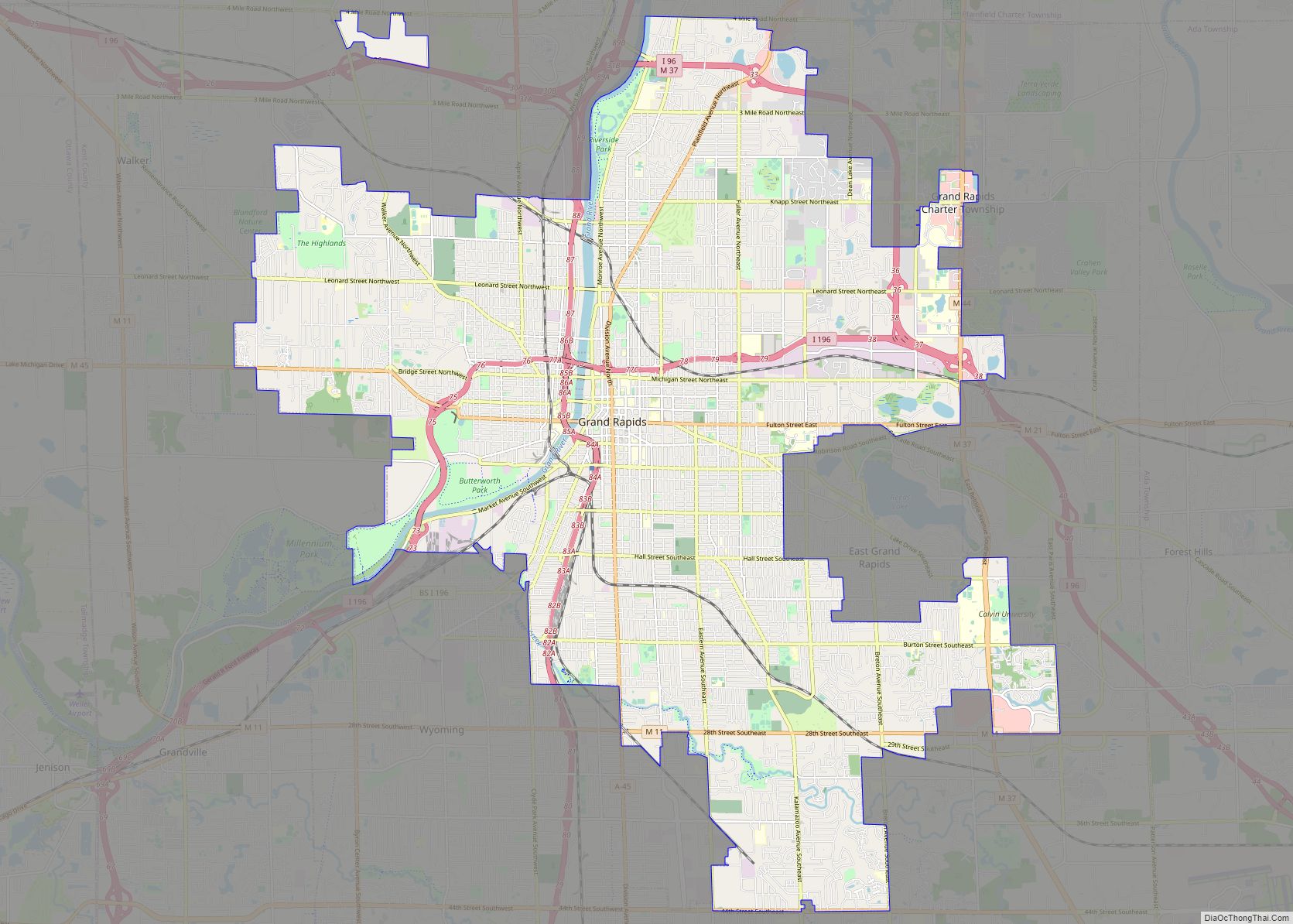
Cedar Springs is a city in Kent County in the U.S. state of Michigan. The population was 3,509 at the 2010 census. Cedar Springs is a northern city of the Grand Rapids metropolitan area and is about 20 miles (32.2 km) north of Grand Rapids.
| Name: | Cedar Springs city |
|---|---|
| LSAD Code: | 25 |
| LSAD Description: | city (suffix) |
| State: | Michigan |
| County: | Kent County |
| Incorporated: | 1871 (village) 1959 (city) |
| Elevation: | 860 ft (260 m) |
| Total Area: | 2.03 sq mi (5.25 km²) |
| Land Area: | 1.96 sq mi (5.08 km²) |
| Water Area: | 0.07 sq mi (0.17 km²) |
| Total Population: | 3,627 |
| Population Density: | 1,850.51/sq mi (714.48/km²) |
| Area code: | 616 |
| FIPS code: | 2614200 |
| GNISfeature ID: | 1626049 |
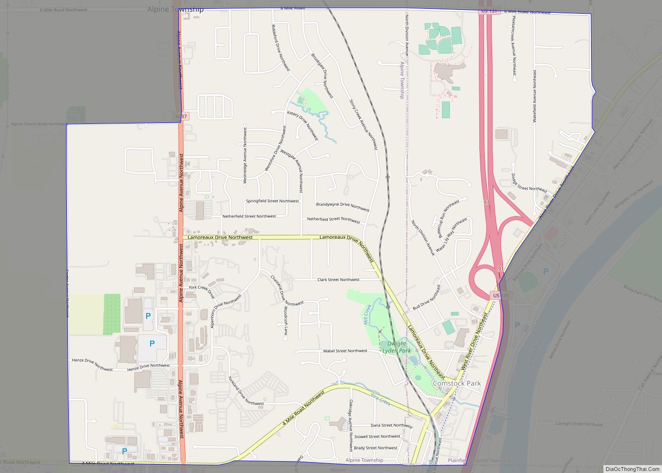
Online Interactive Map
Click on ![]() to view map in "full screen" mode.
to view map in "full screen" mode.
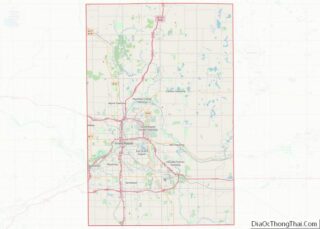
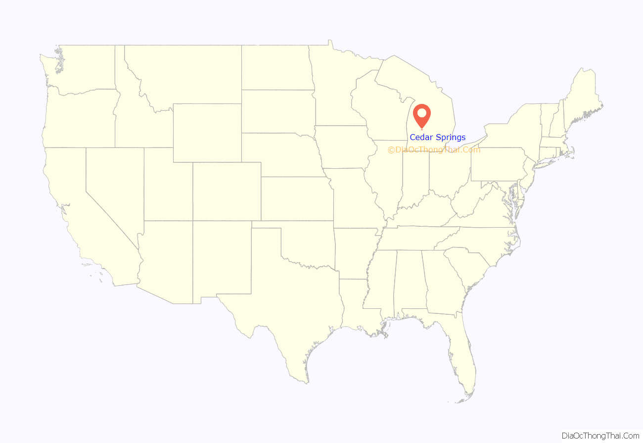
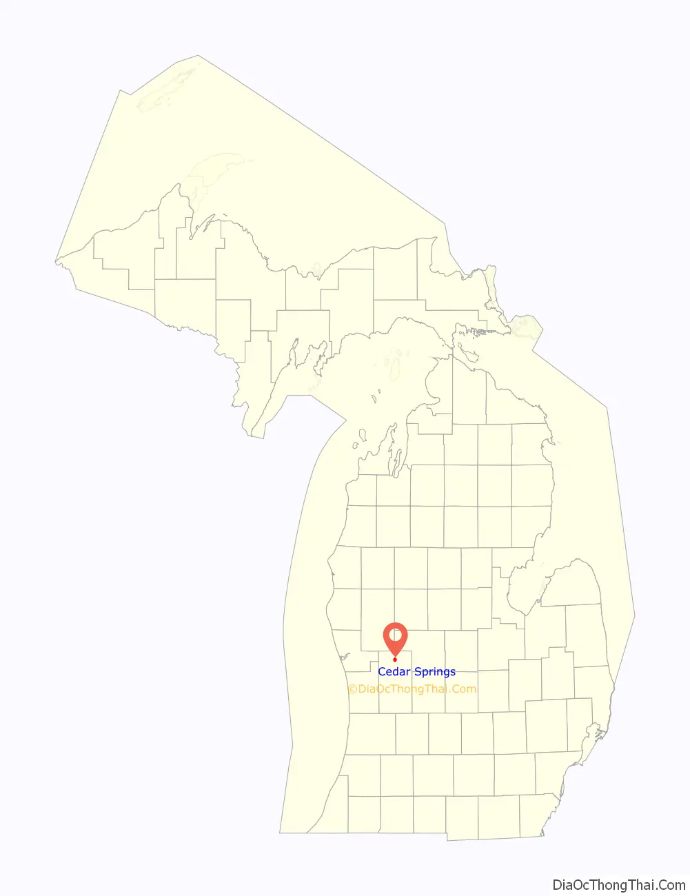
Cedar Springs location map. Where is Cedar Springs city?
History
The area was first settled by Robin Hicks as early as 1855, and the first post office was established on February 4, 1857, with Nicholas Hill serving as the first postmaster. The new village was platted in 1859. The Grand Rapids and Indiana Railroad built a railway line through the area in 1868 and allowed for the growth of the village, which incorporated in 1871. The name Cedar Springs came from the abundance of cedar trees and springs found throughout the area. The village incorporated as a city in 1971.
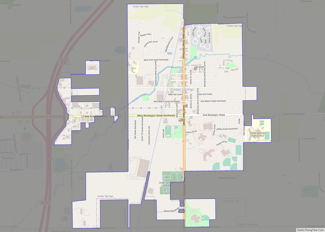
Cedar Springs Road Map
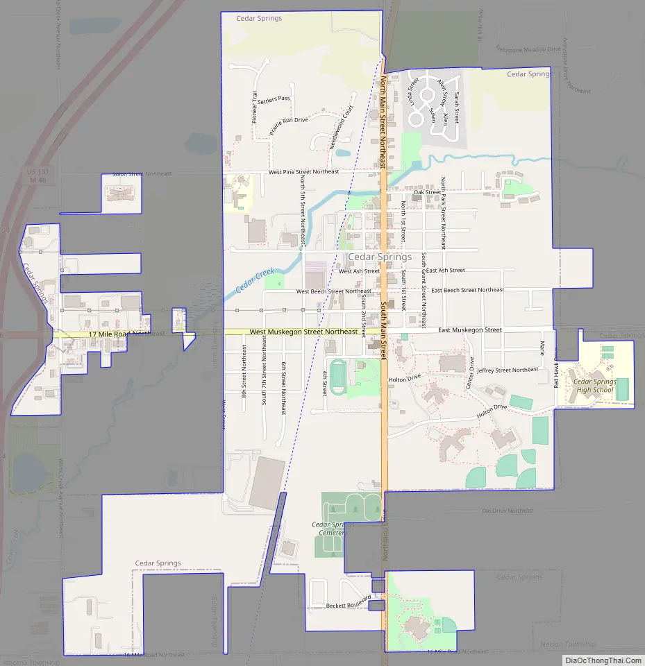
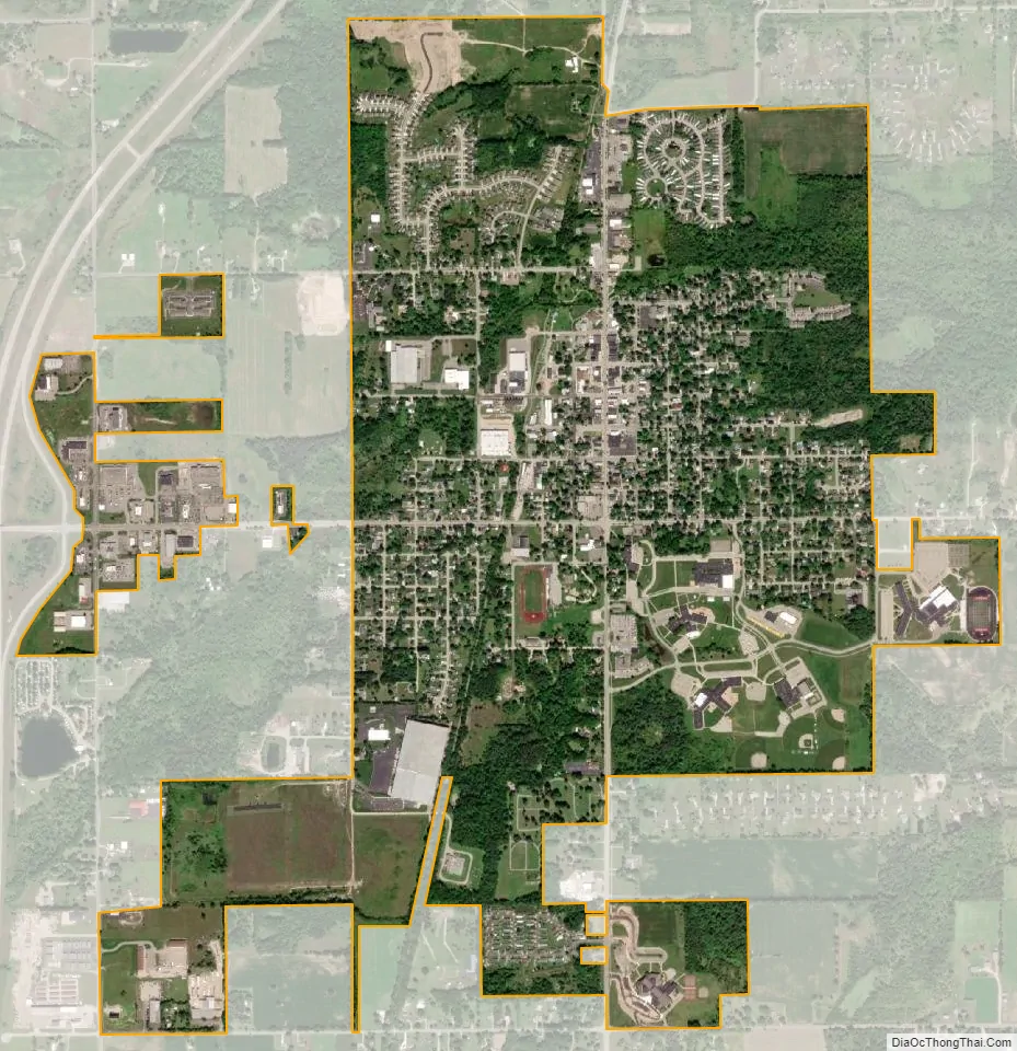
Cedar Springs city Satellite Map
Geography
According to the U.S. Census Bureau, the city has a total area of 2.02 square miles (5.23 km), of which 1.95 square miles (5.05 km) is land and 0.07 square miles (0.18 km) (3.47%) is water.
See also
Map of Michigan State and its subdivision:- Alcona
- Alger
- Allegan
- Alpena
- Antrim
- Arenac
- Baraga
- Barry
- Bay
- Benzie
- Berrien
- Branch
- Calhoun
- Cass
- Charlevoix
- Cheboygan
- Chippewa
- Clare
- Clinton
- Crawford
- Delta
- Dickinson
- Eaton
- Emmet
- Genesee
- Gladwin
- Gogebic
- Grand Traverse
- Gratiot
- Hillsdale
- Houghton
- Huron
- Ingham
- Ionia
- Iosco
- Iron
- Isabella
- Jackson
- Kalamazoo
- Kalkaska
- Kent
- Keweenaw
- Lake
- Lake Hurron
- Lake Michigan
- Lake St. Clair
- Lake Superior
- Lapeer
- Leelanau
- Lenawee
- Livingston
- Luce
- Mackinac
- Macomb
- Manistee
- Marquette
- Mason
- Mecosta
- Menominee
- Midland
- Missaukee
- Monroe
- Montcalm
- Montmorency
- Muskegon
- Newaygo
- Oakland
- Oceana
- Ogemaw
- Ontonagon
- Osceola
- Oscoda
- Otsego
- Ottawa
- Presque Isle
- Roscommon
- Saginaw
- Saint Clair
- Saint Joseph
- Sanilac
- Schoolcraft
- Shiawassee
- Tuscola
- Van Buren
- Washtenaw
- Wayne
- Wexford
- Alabama
- Alaska
- Arizona
- Arkansas
- California
- Colorado
- Connecticut
- Delaware
- District of Columbia
- Florida
- Georgia
- Hawaii
- Idaho
- Illinois
- Indiana
- Iowa
- Kansas
- Kentucky
- Louisiana
- Maine
- Maryland
- Massachusetts
- Michigan
- Minnesota
- Mississippi
- Missouri
- Montana
- Nebraska
- Nevada
- New Hampshire
- New Jersey
- New Mexico
- New York
- North Carolina
- North Dakota
- Ohio
- Oklahoma
- Oregon
- Pennsylvania
- Rhode Island
- South Carolina
- South Dakota
- Tennessee
- Texas
- Utah
- Vermont
- Virginia
- Washington
- West Virginia
- Wisconsin
- Wyoming