Caspian is a city in Iron County in the U.S. state of Michigan. The population was 906 at the time of the 2010 census. The city has an Italian heritage.
| Name: | Caspian city |
|---|---|
| LSAD Code: | 25 |
| LSAD Description: | city (suffix) |
| State: | Michigan |
| County: | Iron County |
| Elevation: | 1,496 ft (456 m) |
| Total Area: | 1.43 sq mi (3.69 km²) |
| Land Area: | 1.43 sq mi (3.69 km²) |
| Water Area: | 0.00 sq mi (0.00 km²) |
| Total Population: | 805 |
| Population Density: | 564.12/sq mi (217.88/km²) |
| ZIP code: | 49915 |
| Area code: | 906 |
| FIPS code: | 2613860 |
| GNISfeature ID: | 1619449 |
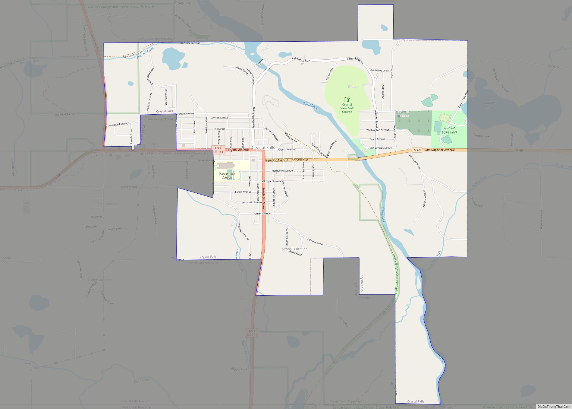
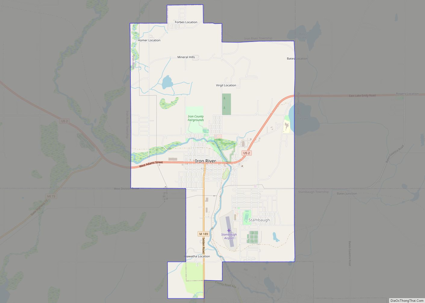
Online Interactive Map
Click on ![]() to view map in "full screen" mode.
to view map in "full screen" mode.
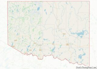
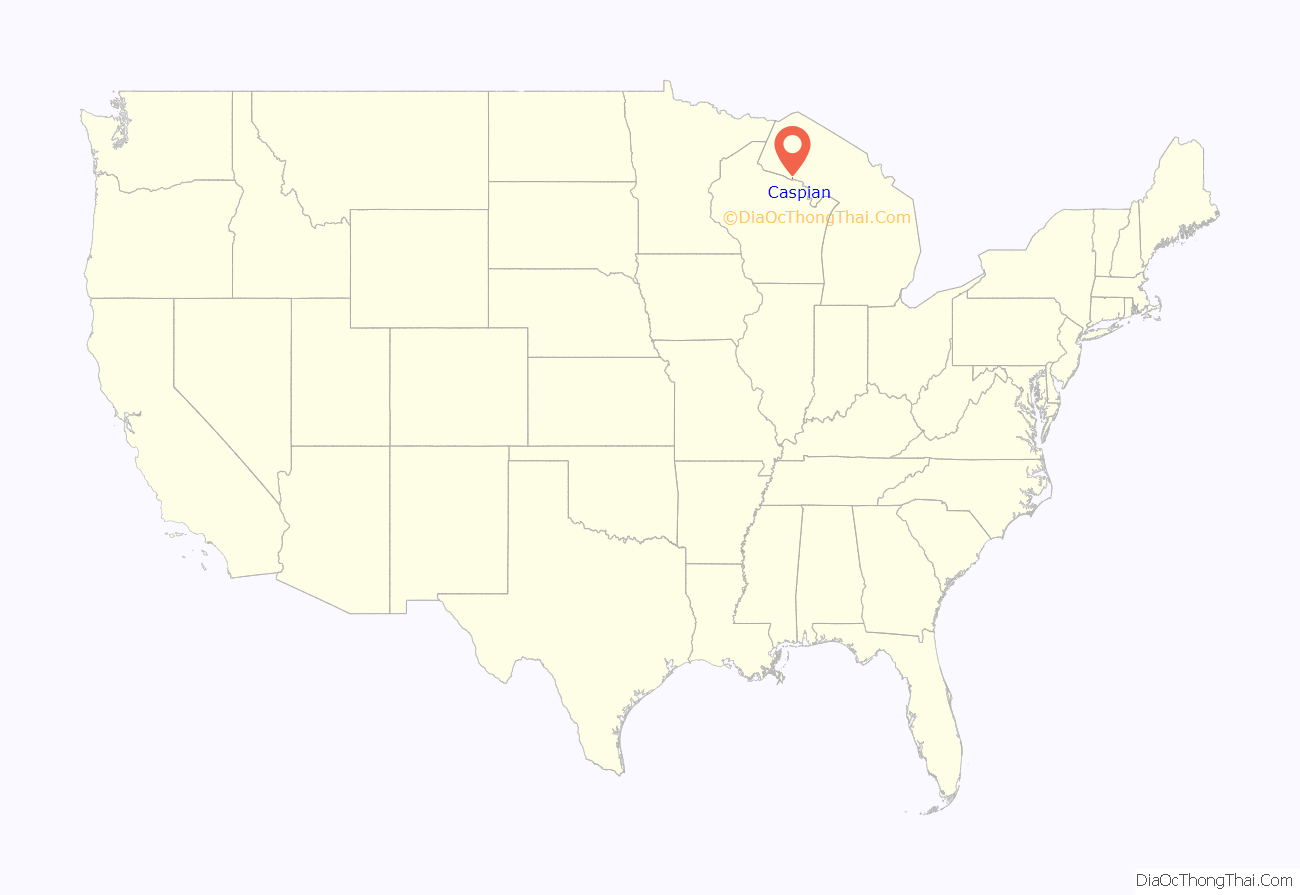
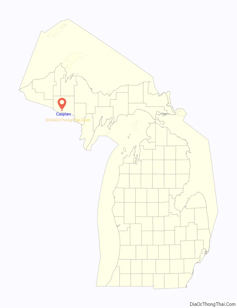
Caspian location map. Where is Caspian city?
History
The location first received a station on the Chicago & Northwestern Railroad in 1884 and has been known by the names of Spring Valley and Newtown. Caspian was founded and platted with the name Palatka in 1901. It was a headquarters for a mining company, Voroner Mining Company. Voroner operated three mines, Baltic, Caspian, and Fogarty mines. With the expansion of the mines, a second adjacent village named Caspian was founded in 1908. The post office moved there. The location was poor and a new adjacent village called New Caspian was formed in 1909. The whole area was incorporated as the village of Caspian in 1918.
Caspian became a city in 1949.
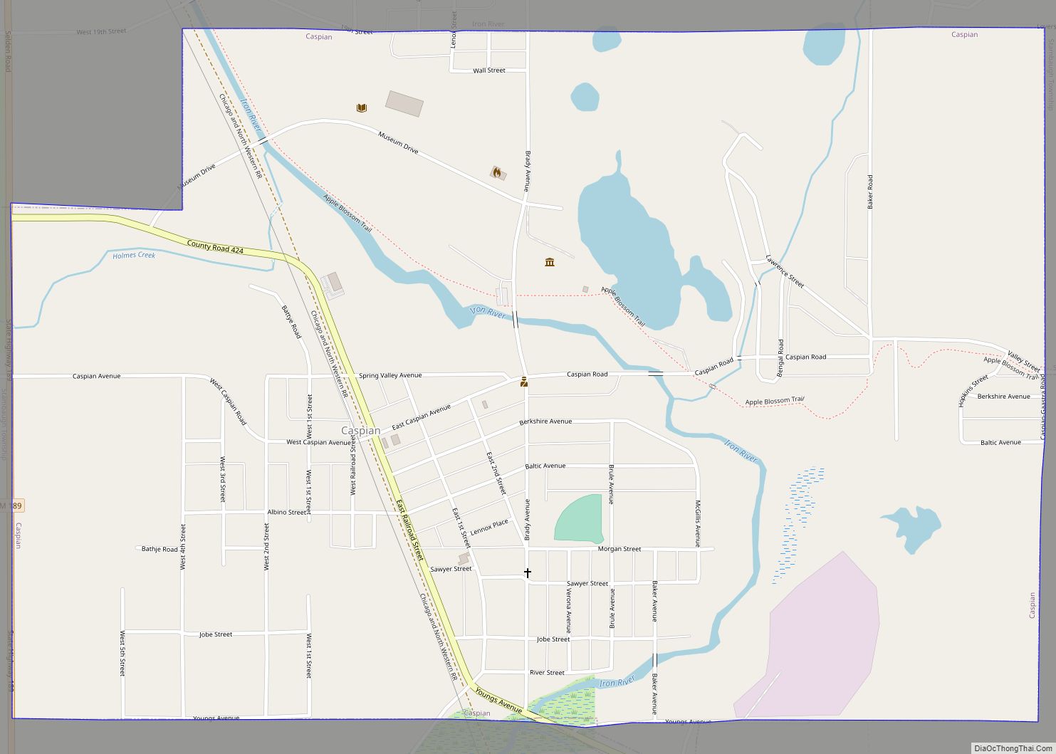
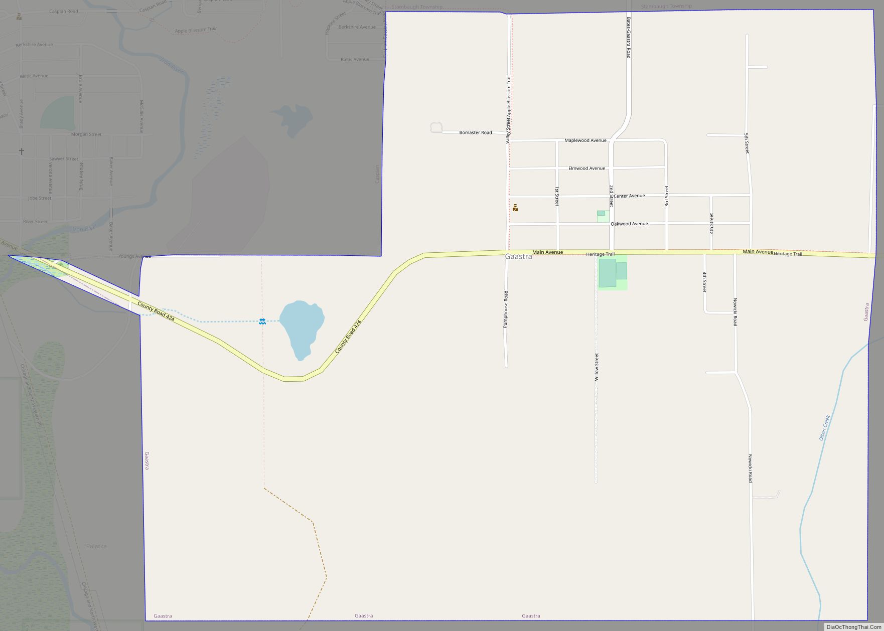
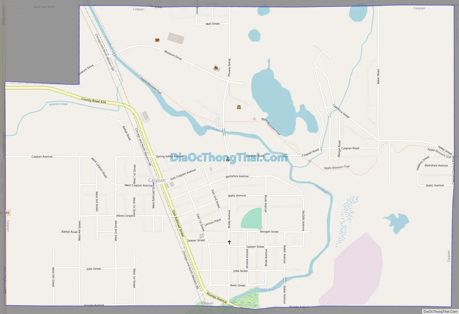
Caspian Road Map
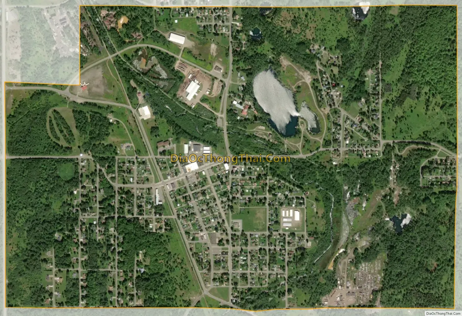
Caspian city Satellite Map
Geography
According to the United States Census Bureau, the city has a total area of 1.43 square miles (3.70 km), all land.
See also
Map of Michigan State and its subdivision:- Alcona
- Alger
- Allegan
- Alpena
- Antrim
- Arenac
- Baraga
- Barry
- Bay
- Benzie
- Berrien
- Branch
- Calhoun
- Cass
- Charlevoix
- Cheboygan
- Chippewa
- Clare
- Clinton
- Crawford
- Delta
- Dickinson
- Eaton
- Emmet
- Genesee
- Gladwin
- Gogebic
- Grand Traverse
- Gratiot
- Hillsdale
- Houghton
- Huron
- Ingham
- Ionia
- Iosco
- Iron
- Isabella
- Jackson
- Kalamazoo
- Kalkaska
- Kent
- Keweenaw
- Lake
- Lake Hurron
- Lake Michigan
- Lake St. Clair
- Lake Superior
- Lapeer
- Leelanau
- Lenawee
- Livingston
- Luce
- Mackinac
- Macomb
- Manistee
- Marquette
- Mason
- Mecosta
- Menominee
- Midland
- Missaukee
- Monroe
- Montcalm
- Montmorency
- Muskegon
- Newaygo
- Oakland
- Oceana
- Ogemaw
- Ontonagon
- Osceola
- Oscoda
- Otsego
- Ottawa
- Presque Isle
- Roscommon
- Saginaw
- Saint Clair
- Saint Joseph
- Sanilac
- Schoolcraft
- Shiawassee
- Tuscola
- Van Buren
- Washtenaw
- Wayne
- Wexford
- Alabama
- Alaska
- Arizona
- Arkansas
- California
- Colorado
- Connecticut
- Delaware
- District of Columbia
- Florida
- Georgia
- Hawaii
- Idaho
- Illinois
- Indiana
- Iowa
- Kansas
- Kentucky
- Louisiana
- Maine
- Maryland
- Massachusetts
- Michigan
- Minnesota
- Mississippi
- Missouri
- Montana
- Nebraska
- Nevada
- New Hampshire
- New Jersey
- New Mexico
- New York
- North Carolina
- North Dakota
- Ohio
- Oklahoma
- Oregon
- Pennsylvania
- Rhode Island
- South Carolina
- South Dakota
- Tennessee
- Texas
- Utah
- Vermont
- Virginia
- Washington
- West Virginia
- Wisconsin
- Wyoming