Iron River is a city in Iron County in the U.S. state of Michigan. As of the 2010 census, the city population was 3,029. The city is situated at the southeast corner of Iron River Township, but is administratively autonomous. Iron River is the birthplace and home of four-time US Olympian and 2022 gold medalist Nick Baumgartner.
| Name: | Iron River city |
|---|---|
| LSAD Code: | 25 |
| LSAD Description: | city (suffix) |
| State: | Michigan |
| County: | Iron County |
| Elevation: | 1,512 ft (461 m) |
| Total Area: | 6.76 sq mi (17.50 km²) |
| Land Area: | 6.74 sq mi (17.45 km²) |
| Water Area: | 0.02 sq mi (0.05 km²) |
| Total Population: | 3,007 |
| Population Density: | 446.41/sq mi (172.37/km²) |
| ZIP code: | 49935 |
| Area code: | 906 |
| FIPS code: | 2640980 |
| GNISfeature ID: | 1620325 |
| Website: | www.ironriver.org |
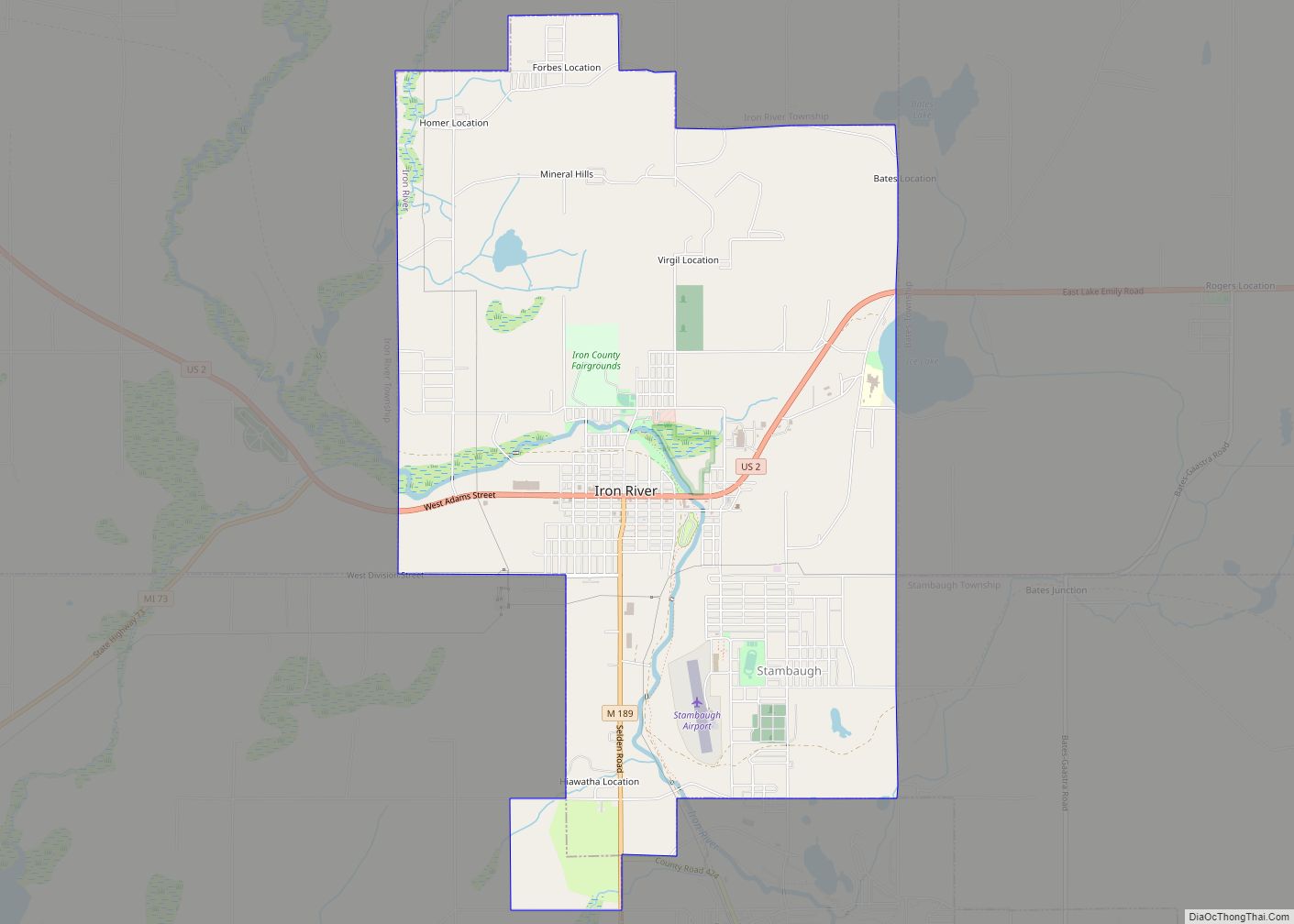
Online Interactive Map
Click on ![]() to view map in "full screen" mode.
to view map in "full screen" mode.
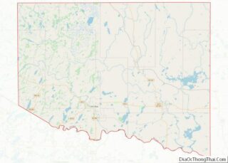
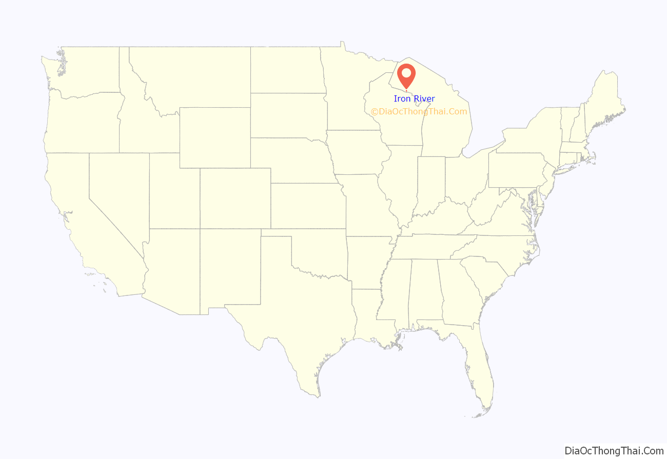
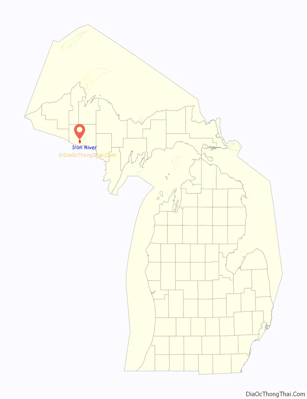
Iron River location map. Where is Iron River city?
History
A post office called Iron River has been in operation since 1885. The city took its name from the nearby Iron River.
On July 1, 2000, the city of Stambaugh and the village of Mineral Hills were consolidated with the City of Iron River.
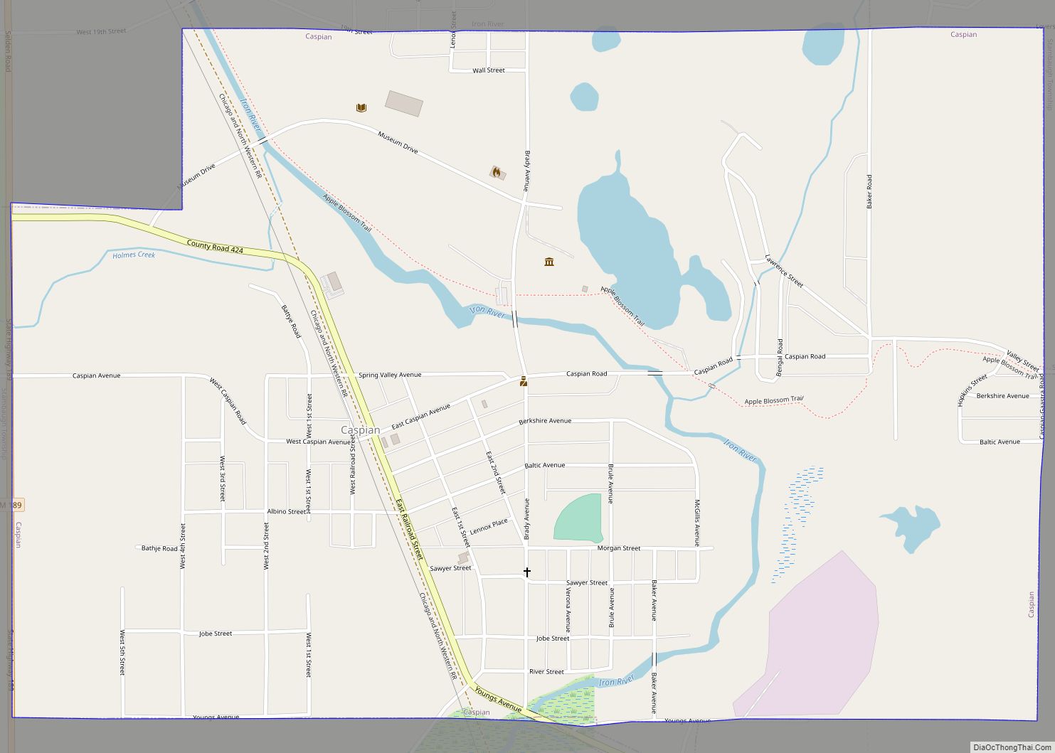
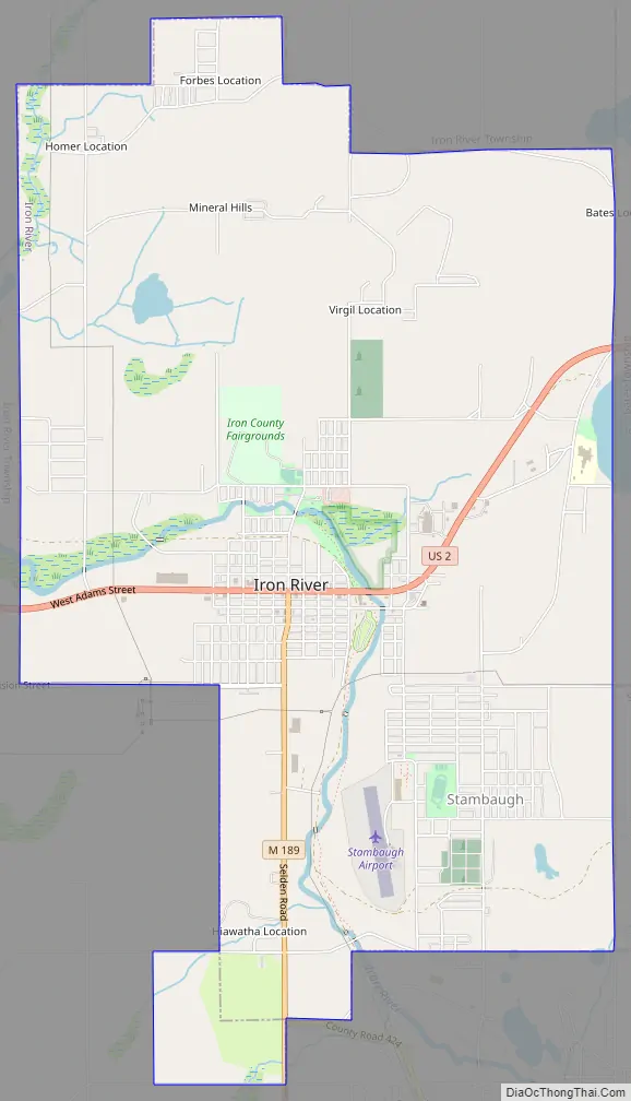
Iron River Road Map
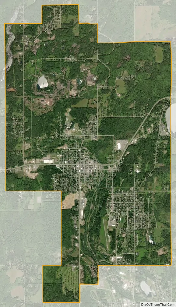
Iron River city Satellite Map
Geography
According to the United States Census Bureau, the city has a total area of 6.76 square miles (17.51 km), of which 6.74 square miles (17.46 km) is land and 0.02 square miles (0.05 km) is water.
The area is noted for its vast forest land, scenic lakes, and winter sports.
Iron River and the surrounding area is home of many lakes, and is not far from Lake Superior, the largest of the Great Lakes. In the summer, many people frequent the beaches, in the winter, there are often tents for ice fishing on the frozen lakes.
See also
Map of Michigan State and its subdivision:- Alcona
- Alger
- Allegan
- Alpena
- Antrim
- Arenac
- Baraga
- Barry
- Bay
- Benzie
- Berrien
- Branch
- Calhoun
- Cass
- Charlevoix
- Cheboygan
- Chippewa
- Clare
- Clinton
- Crawford
- Delta
- Dickinson
- Eaton
- Emmet
- Genesee
- Gladwin
- Gogebic
- Grand Traverse
- Gratiot
- Hillsdale
- Houghton
- Huron
- Ingham
- Ionia
- Iosco
- Iron
- Isabella
- Jackson
- Kalamazoo
- Kalkaska
- Kent
- Keweenaw
- Lake
- Lake Hurron
- Lake Michigan
- Lake St. Clair
- Lake Superior
- Lapeer
- Leelanau
- Lenawee
- Livingston
- Luce
- Mackinac
- Macomb
- Manistee
- Marquette
- Mason
- Mecosta
- Menominee
- Midland
- Missaukee
- Monroe
- Montcalm
- Montmorency
- Muskegon
- Newaygo
- Oakland
- Oceana
- Ogemaw
- Ontonagon
- Osceola
- Oscoda
- Otsego
- Ottawa
- Presque Isle
- Roscommon
- Saginaw
- Saint Clair
- Saint Joseph
- Sanilac
- Schoolcraft
- Shiawassee
- Tuscola
- Van Buren
- Washtenaw
- Wayne
- Wexford
- Alabama
- Alaska
- Arizona
- Arkansas
- California
- Colorado
- Connecticut
- Delaware
- District of Columbia
- Florida
- Georgia
- Hawaii
- Idaho
- Illinois
- Indiana
- Iowa
- Kansas
- Kentucky
- Louisiana
- Maine
- Maryland
- Massachusetts
- Michigan
- Minnesota
- Mississippi
- Missouri
- Montana
- Nebraska
- Nevada
- New Hampshire
- New Jersey
- New Mexico
- New York
- North Carolina
- North Dakota
- Ohio
- Oklahoma
- Oregon
- Pennsylvania
- Rhode Island
- South Carolina
- South Dakota
- Tennessee
- Texas
- Utah
- Vermont
- Virginia
- Washington
- West Virginia
- Wisconsin
- Wyoming