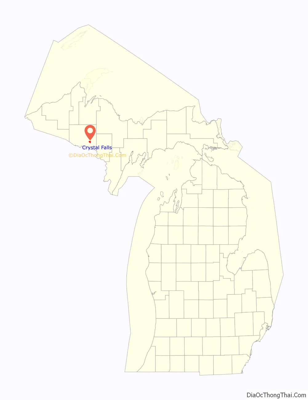
Crystal Falls is a city and the county seat of Iron County, Michigan. As of the 2010 census, the city population was 1,469. The city is located within Crystal Falls Township, but is a separate municipal entity. The area first developed as a major center for iron mining and the timber industry; it has become increasingly popular for tourism in recent years.
| Name: | Crystal Falls city |
|---|---|
| LSAD Code: | 25 |
| LSAD Description: | city (suffix) |
| State: | Michigan |
| County: | Iron County |
| Elevation: | 1,476 ft (450 m) |
| Total Area: | 3.64 sq mi (9.42 km²) |
| Land Area: | 3.49 sq mi (9.05 km²) |
| Water Area: | 0.14 sq mi (0.38 km²) |
| Total Population: | 1,598 |
| Population Density: | 457.62/sq mi (176.66/km²) |
| ZIP code: | 49920 |
| Area code: | 906 |
| FIPS code: | 2619140 |
| GNISfeature ID: | 0624170 |
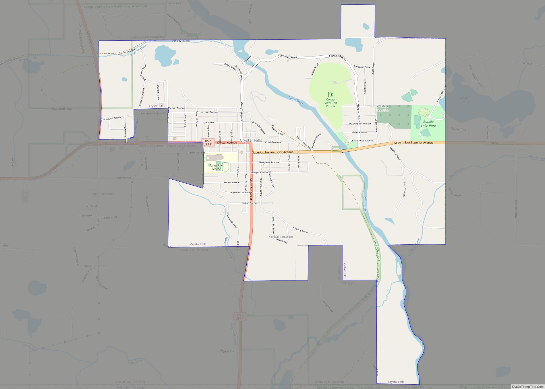
Online Interactive Map
Click on ![]() to view map in "full screen" mode.
to view map in "full screen" mode.
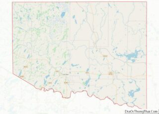
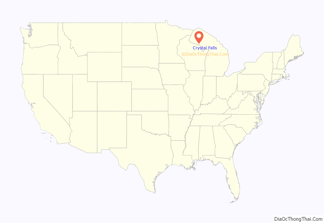
Crystal Falls location map. Where is Crystal Falls city?
History
Crystal Falls was platted in 1881. It was named for a nearby icy waterfall on the Paint River. A post office called Crystal Falls has been in operation since 1885.
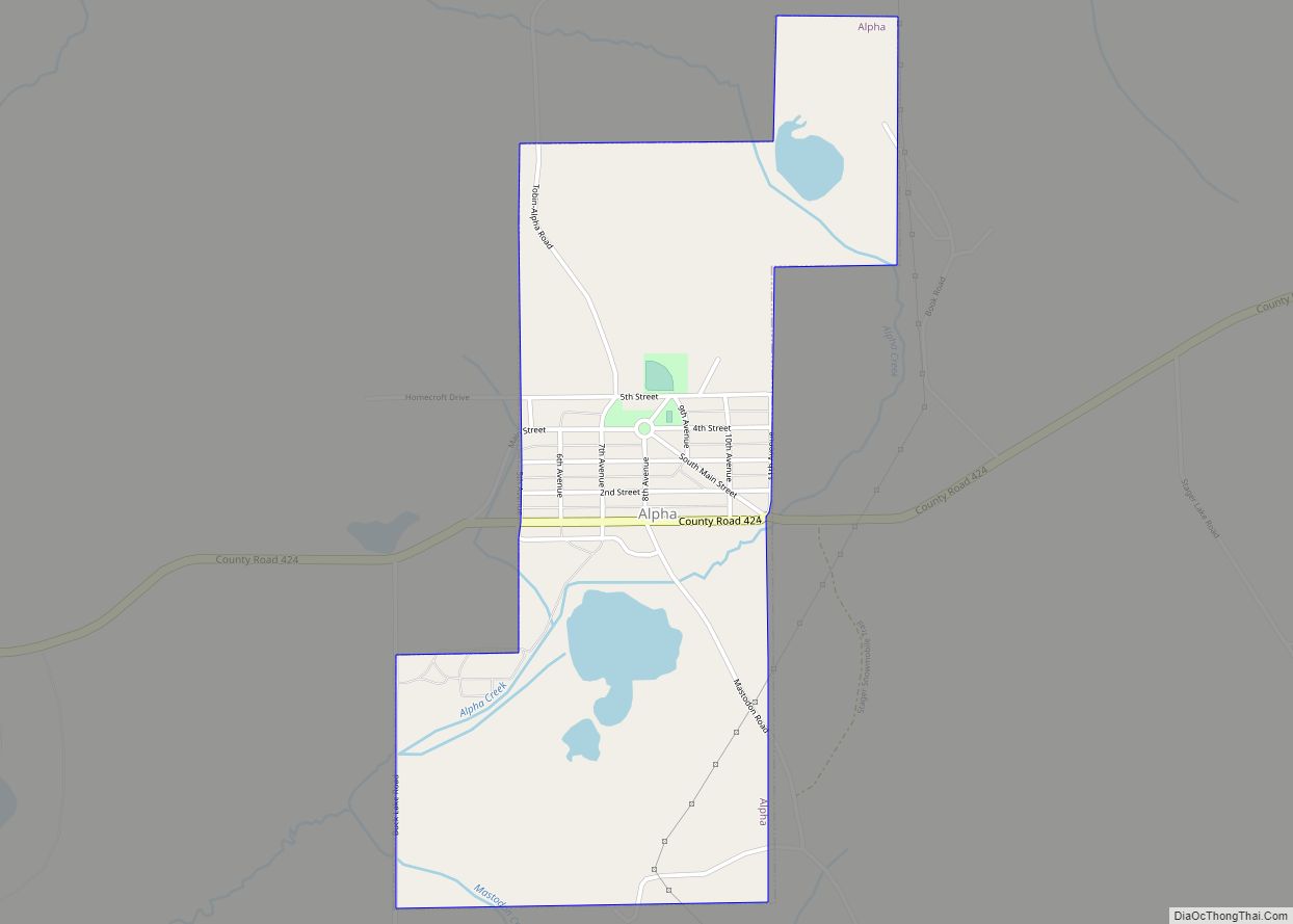
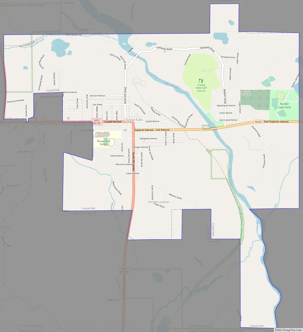
Crystal Falls Road Map
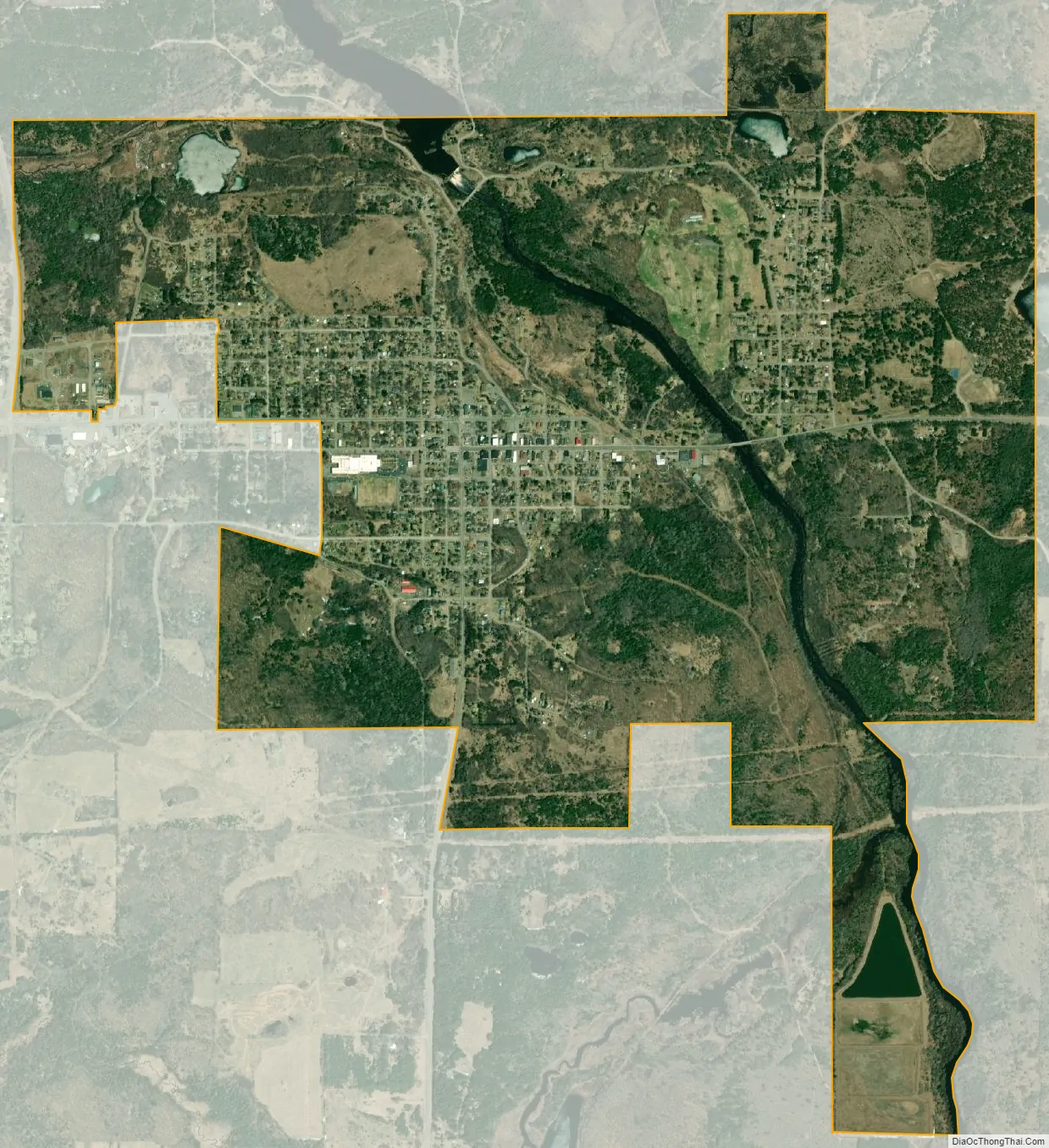
Crystal Falls city Satellite Map
Geography
According to the United States Census Bureau, the city has a total area of 3.61 square miles (9.35 km), of which 3.47 square miles (8.99 km) is land and 0.14 square miles (0.36 km) is water. The city is very hilly and the castle-like county courthouse (built in 1890) sits on the highest point, overlooking the downtown business district.
See also
Map of Michigan State and its subdivision:- Alcona
- Alger
- Allegan
- Alpena
- Antrim
- Arenac
- Baraga
- Barry
- Bay
- Benzie
- Berrien
- Branch
- Calhoun
- Cass
- Charlevoix
- Cheboygan
- Chippewa
- Clare
- Clinton
- Crawford
- Delta
- Dickinson
- Eaton
- Emmet
- Genesee
- Gladwin
- Gogebic
- Grand Traverse
- Gratiot
- Hillsdale
- Houghton
- Huron
- Ingham
- Ionia
- Iosco
- Iron
- Isabella
- Jackson
- Kalamazoo
- Kalkaska
- Kent
- Keweenaw
- Lake
- Lake Hurron
- Lake Michigan
- Lake St. Clair
- Lake Superior
- Lapeer
- Leelanau
- Lenawee
- Livingston
- Luce
- Mackinac
- Macomb
- Manistee
- Marquette
- Mason
- Mecosta
- Menominee
- Midland
- Missaukee
- Monroe
- Montcalm
- Montmorency
- Muskegon
- Newaygo
- Oakland
- Oceana
- Ogemaw
- Ontonagon
- Osceola
- Oscoda
- Otsego
- Ottawa
- Presque Isle
- Roscommon
- Saginaw
- Saint Clair
- Saint Joseph
- Sanilac
- Schoolcraft
- Shiawassee
- Tuscola
- Van Buren
- Washtenaw
- Wayne
- Wexford
- Alabama
- Alaska
- Arizona
- Arkansas
- California
- Colorado
- Connecticut
- Delaware
- District of Columbia
- Florida
- Georgia
- Hawaii
- Idaho
- Illinois
- Indiana
- Iowa
- Kansas
- Kentucky
- Louisiana
- Maine
- Maryland
- Massachusetts
- Michigan
- Minnesota
- Mississippi
- Missouri
- Montana
- Nebraska
- Nevada
- New Hampshire
- New Jersey
- New Mexico
- New York
- North Carolina
- North Dakota
- Ohio
- Oklahoma
- Oregon
- Pennsylvania
- Rhode Island
- South Carolina
- South Dakota
- Tennessee
- Texas
- Utah
- Vermont
- Virginia
- Washington
- West Virginia
- Wisconsin
- Wyoming