Cement City is a village in the U.S. state of Michigan. The village is located within Woodstock Township in Lenawee County, with a small northern portion within Columbia Township in Jackson County. The population was 438 at the 2010 census.
| Name: | Cement City village |
|---|---|
| LSAD Code: | 47 |
| LSAD Description: | village (suffix) |
| State: | Michigan |
| County: | Jackson County, Lenawee County |
| Incorporated: | 1953 |
| Elevation: | 1,056 ft (322 m) |
| Total Area: | 0.93 sq mi (2.40 km²) |
| Land Area: | 0.89 sq mi (2.31 km²) |
| Water Area: | 0.04 sq mi (0.09 km²) |
| Total Population: | 424 |
| Population Density: | 475.87/sq mi (183.67/km²) |
| Area code: | 517 |
| FIPS code: | 2614260 |
| GNISfeature ID: | 0622963 |
Online Interactive Map
Click on ![]() to view map in "full screen" mode.
to view map in "full screen" mode.
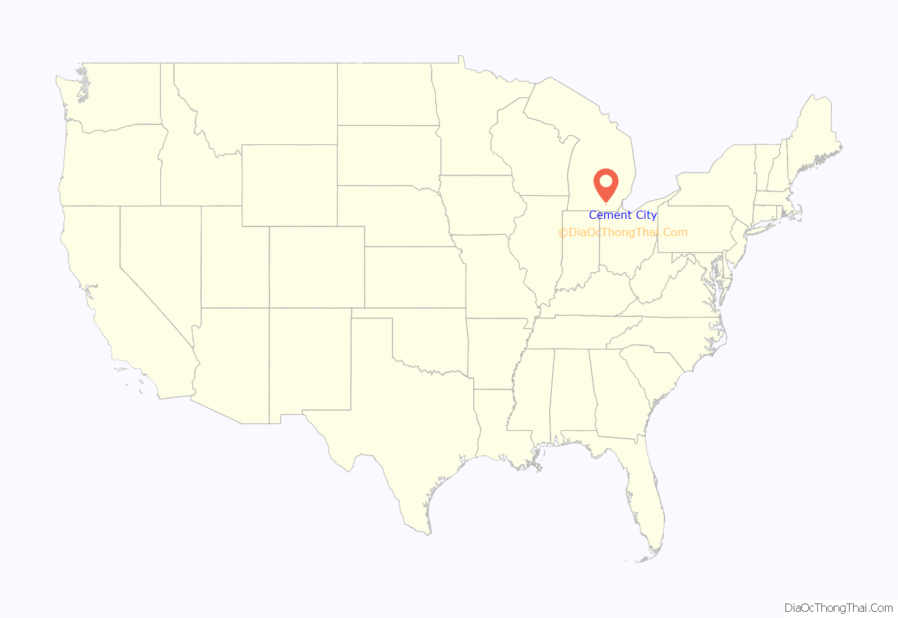
Cement City location map. Where is Cement City village?
History
The location first was given a post office named Woodstock after the township on January 3, 1838 with postmaster Almer Smith. While the post office was closed on October 13, 1859 but quickly reopened On December 3. The post was open until May 5, 1871 then again from January 27, 1881 to May 21, 1887.
Kelly’s Corners post office, named after local early landowner Orson Kelly opened with John E. Turk as postmaster on February 17, 1868. On December 6, 1886 Kelly’s Corner was renamed as Woodstock then to Cement on February 21, 1901. This after the 1900 formation of an unincorporated village under William Cohan in 1900 and named for the pending coming of a cement company. On March 5, 1901, the post office was renamed one final time to Cement City. Cement City was incorporated as a village in 1953.
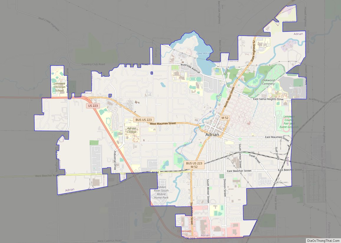
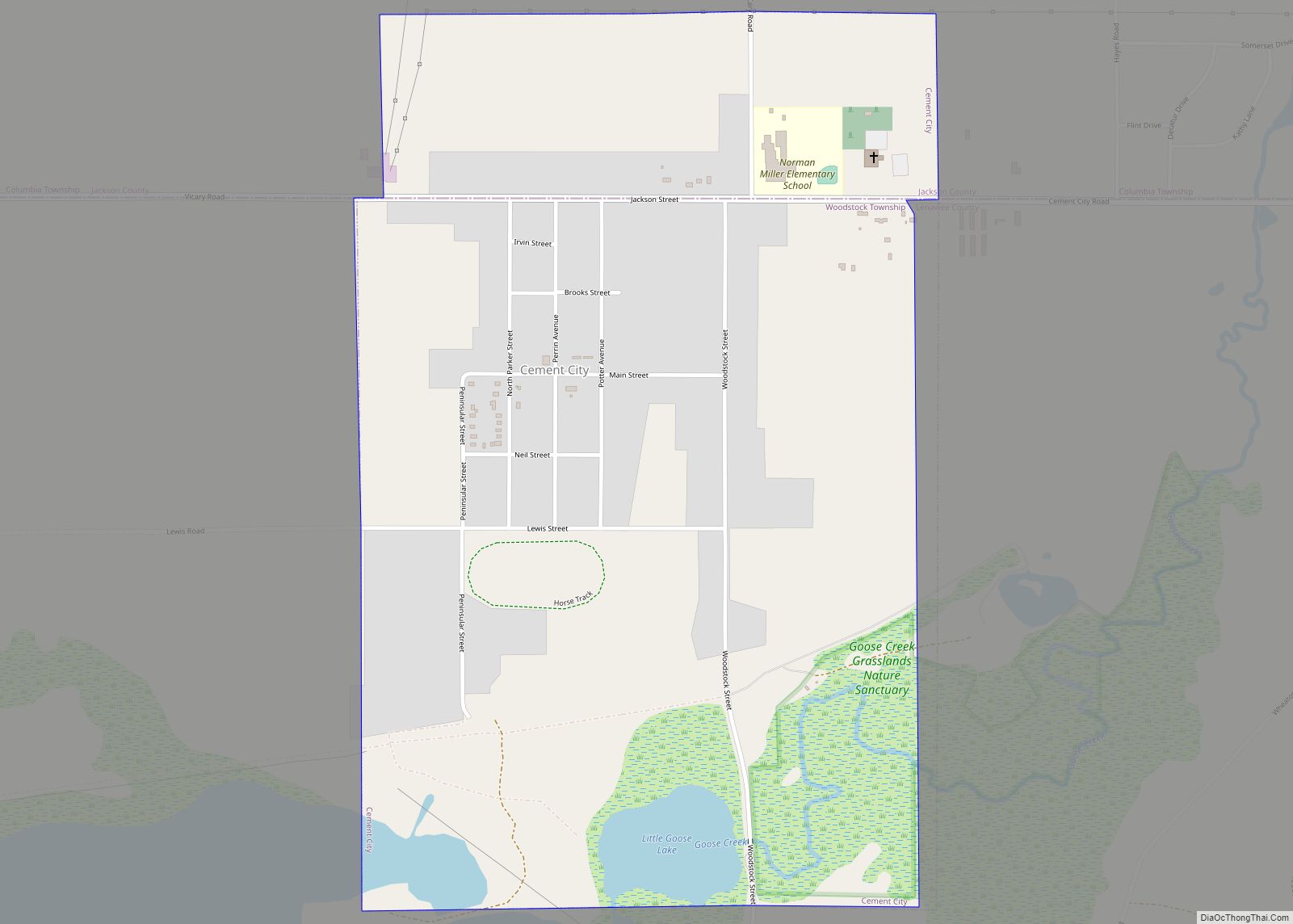
Cement City Road Map
Cement City city Satellite Map
Geography
According to the United States Census Bureau, the village has a total area of 0.95 square miles (2.46 km), of which 0.91 square miles (2.36 km) is land and 0.04 square miles (0.10 km) is water.
See also
Map of Michigan State and its subdivision:- Alcona
- Alger
- Allegan
- Alpena
- Antrim
- Arenac
- Baraga
- Barry
- Bay
- Benzie
- Berrien
- Branch
- Calhoun
- Cass
- Charlevoix
- Cheboygan
- Chippewa
- Clare
- Clinton
- Crawford
- Delta
- Dickinson
- Eaton
- Emmet
- Genesee
- Gladwin
- Gogebic
- Grand Traverse
- Gratiot
- Hillsdale
- Houghton
- Huron
- Ingham
- Ionia
- Iosco
- Iron
- Isabella
- Jackson
- Kalamazoo
- Kalkaska
- Kent
- Keweenaw
- Lake
- Lake Hurron
- Lake Michigan
- Lake St. Clair
- Lake Superior
- Lapeer
- Leelanau
- Lenawee
- Livingston
- Luce
- Mackinac
- Macomb
- Manistee
- Marquette
- Mason
- Mecosta
- Menominee
- Midland
- Missaukee
- Monroe
- Montcalm
- Montmorency
- Muskegon
- Newaygo
- Oakland
- Oceana
- Ogemaw
- Ontonagon
- Osceola
- Oscoda
- Otsego
- Ottawa
- Presque Isle
- Roscommon
- Saginaw
- Saint Clair
- Saint Joseph
- Sanilac
- Schoolcraft
- Shiawassee
- Tuscola
- Van Buren
- Washtenaw
- Wayne
- Wexford
- Alabama
- Alaska
- Arizona
- Arkansas
- California
- Colorado
- Connecticut
- Delaware
- District of Columbia
- Florida
- Georgia
- Hawaii
- Idaho
- Illinois
- Indiana
- Iowa
- Kansas
- Kentucky
- Louisiana
- Maine
- Maryland
- Massachusetts
- Michigan
- Minnesota
- Mississippi
- Missouri
- Montana
- Nebraska
- Nevada
- New Hampshire
- New Jersey
- New Mexico
- New York
- North Carolina
- North Dakota
- Ohio
- Oklahoma
- Oregon
- Pennsylvania
- Rhode Island
- South Carolina
- South Dakota
- Tennessee
- Texas
- Utah
- Vermont
- Virginia
- Washington
- West Virginia
- Wisconsin
- Wyoming
