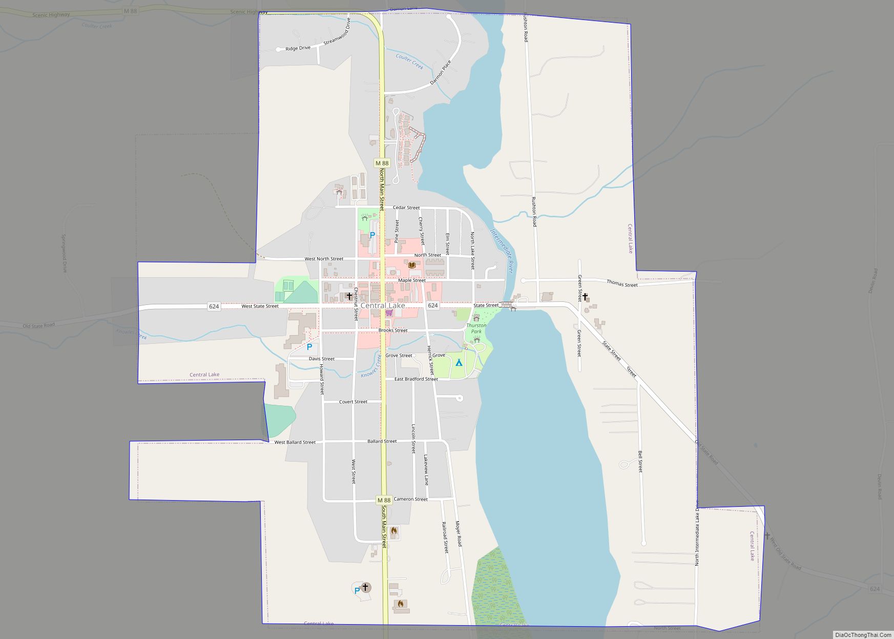
Central Lake is a village in Antrim County in the U.S. state of Michigan. The population was 952 at the 2010 census. The village is located within Central Lake Township.
Central Lake is situated on a lake which is in the center of a chain of lakes and rivers in the county, hence the name.
| Name: | Central Lake village |
|---|---|
| LSAD Code: | 47 |
| LSAD Description: | village (suffix) |
| State: | Michigan |
| County: | Antrim County |
| Incorporated: | 1895 |
| Elevation: | 646 ft (197 m) |
| Total Area: | 1.28 sq mi (3.33 km²) |
| Land Area: | 1.11 sq mi (2.88 km²) |
| Water Area: | 0.17 sq mi (0.45 km²) |
| Total Population: | 960 |
| Population Density: | 864.09/sq mi (333.68/km²) |
| Area code: | 231 |
| FIPS code: | 2614400 |
| GNISfeature ID: | 0623004 |
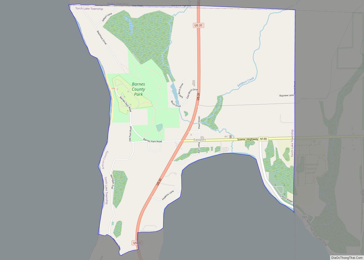
Online Interactive Map
Click on ![]() to view map in "full screen" mode.
to view map in "full screen" mode.
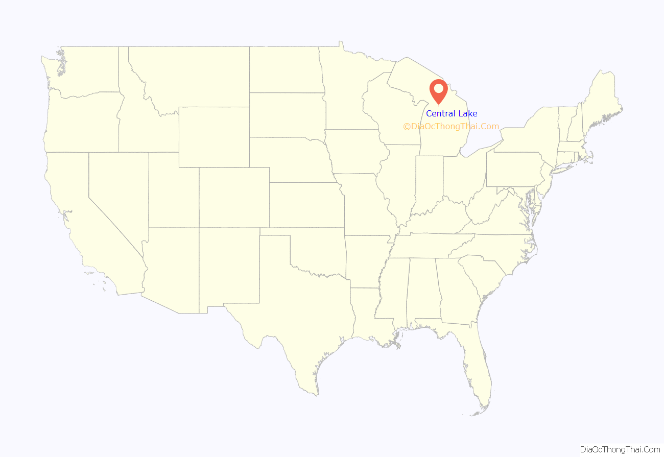
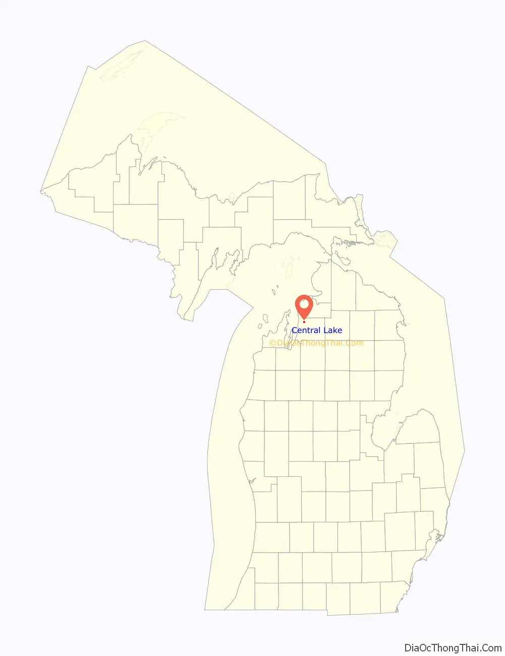
Central Lake location map. Where is Central Lake village?
History
Central Lake was given a post office in 1869. James M. Wadsworth started a store here in 1872. The village was platted in 1883. The Chicago and Western Railroad put a depot in Central Lake in 1892. It was incorporated as a village in 1895. Central Lake is a popular vacation destination.
Central Lake Road Map
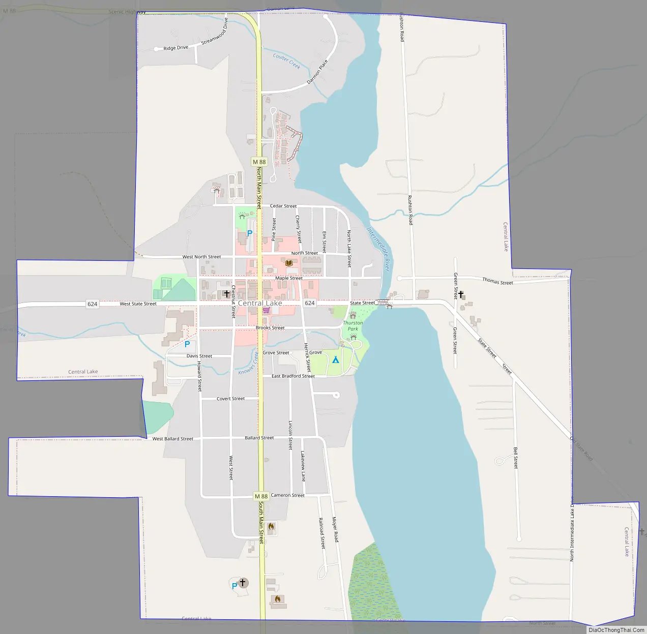
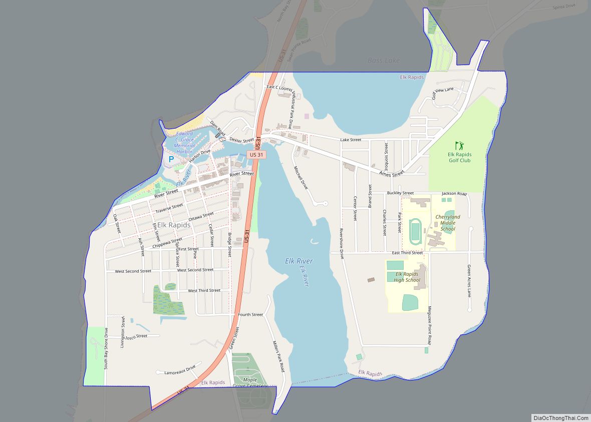
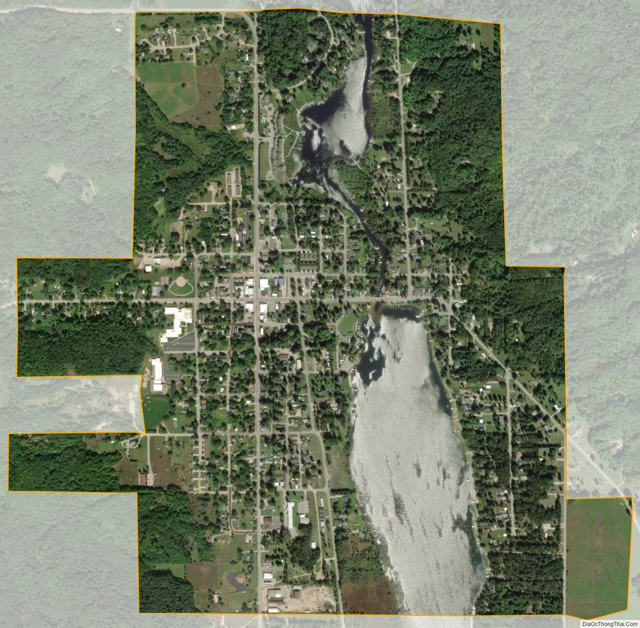
Central Lake city Satellite Map
Geography
According to the United States Census Bureau, the village has a total area of 1.25 square miles (3.24 km), of which, 1.07 square miles (2.77 km) of it is land and 0.18 square miles (0.47 km) is water.
See also
Map of Michigan State and its subdivision:- Alcona
- Alger
- Allegan
- Alpena
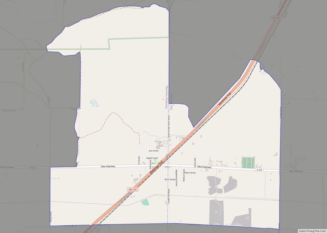
- Antrim
- Arenac
- Baraga
- Barry
- Bay
- Benzie
- Berrien
- Branch
- Calhoun
- Cass
- Charlevoix
- Cheboygan
- Chippewa
- Clare
- Clinton
- Crawford
- Delta
- Dickinson
- Eaton
- Emmet
- Genesee
- Gladwin
- Gogebic
- Grand Traverse
- Gratiot
- Hillsdale
- Houghton
- Huron
- Ingham
- Ionia
- Iosco
- Iron
- Isabella
- Jackson
- Kalamazoo
- Kalkaska
- Kent
- Keweenaw
- Lake
- Lake Hurron
- Lake Michigan
- Lake St. Clair
- Lake Superior
- Lapeer
- Leelanau
- Lenawee
- Livingston
- Luce
- Mackinac
- Macomb
- Manistee
- Marquette
- Mason
- Mecosta
- Menominee
- Midland
- Missaukee
- Monroe
- Montcalm
- Montmorency
- Muskegon
- Newaygo
- Oakland
- Oceana
- Ogemaw
- Ontonagon
- Osceola
- Oscoda
- Otsego
- Ottawa
- Presque Isle
- Roscommon
- Saginaw
- Saint Clair
- Saint Joseph
- Sanilac
- Schoolcraft
- Shiawassee
- Tuscola
- Van Buren
- Washtenaw
- Wayne
- Wexford
- Alabama
- Alaska
- Arizona
- Arkansas
- California
- Colorado
- Connecticut
- Delaware
- District of Columbia
- Florida
- Georgia
- Hawaii
- Idaho
- Illinois
- Indiana
- Iowa
- Kansas
- Kentucky
- Louisiana
- Maine
- Maryland
- Massachusetts
- Michigan
- Minnesota
- Mississippi
- Missouri
- Montana
- Nebraska
- Nevada
- New Hampshire
- New Jersey
- New Mexico
- New York
- North Carolina
- North Dakota
- Ohio
- Oklahoma
- Oregon
- Pennsylvania
- Rhode Island
- South Carolina
- South Dakota
- Tennessee
- Texas
- Utah
- Vermont
- Virginia
- Washington
- West Virginia
- Wisconsin
- Wyoming