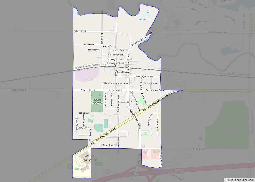
Coloma is a city in Berrien County in the U.S. state of Michigan. The population was 1,483 at the 2010 census.
| Name: | Coloma city |
|---|---|
| LSAD Code: | 25 |
| LSAD Description: | city (suffix) |
| State: | Michigan |
| County: | Berrien County |
| Elevation: | 669 ft (204 m) |
| Total Area: | 0.89 sq mi (2.30 km²) |
| Land Area: | 0.89 sq mi (2.30 km²) |
| Water Area: | 0.00 sq mi (0.00 km²) |
| Total Population: | 1,465 |
| Population Density: | 1,649.77/sq mi (636.97/km²) |
| Area code: | 269 |
| FIPS code: | 2617320 |
| GNISfeature ID: | 0623623 |
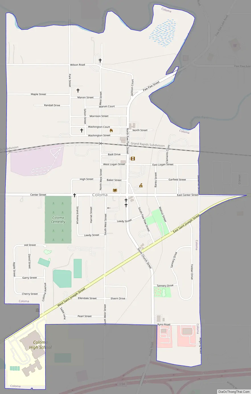
Online Interactive Map
Click on ![]() to view map in "full screen" mode.
to view map in "full screen" mode.
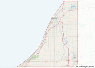
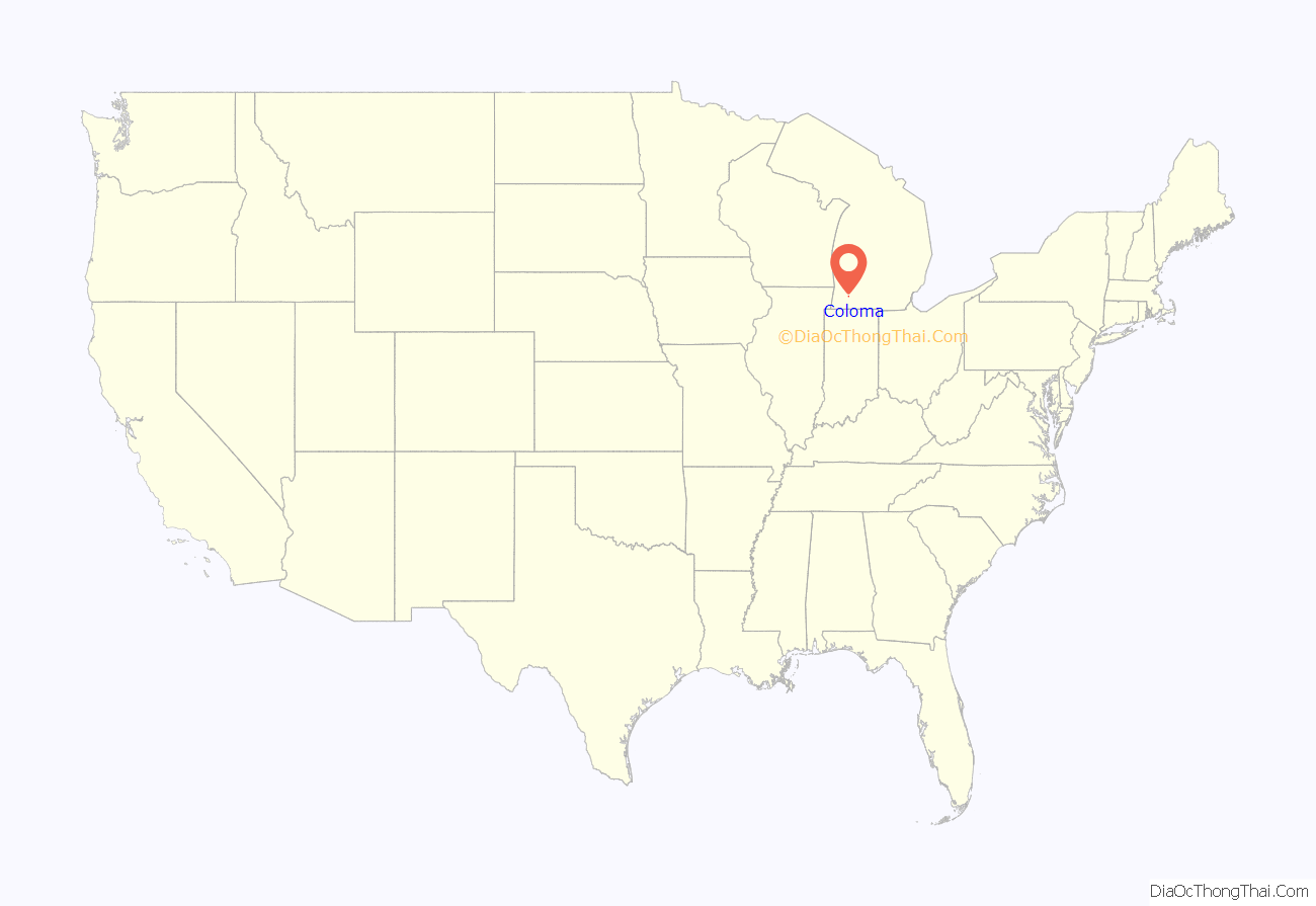
Coloma location map. Where is Coloma city?

History
Coloma was first known as Shingle Diggins because of the wood shingles that were manufactured in the area. The community was renamed Dickerville because people in the town had to barter and dicker for items after the timber supply was exhausted.
The name Coloma was later suggested by Stephen R. Gilson, after a town in California he had visited during the Gold Rush era.
It was incorporated as a village in 1893 and as a city in 1941.
Coloma Road Map
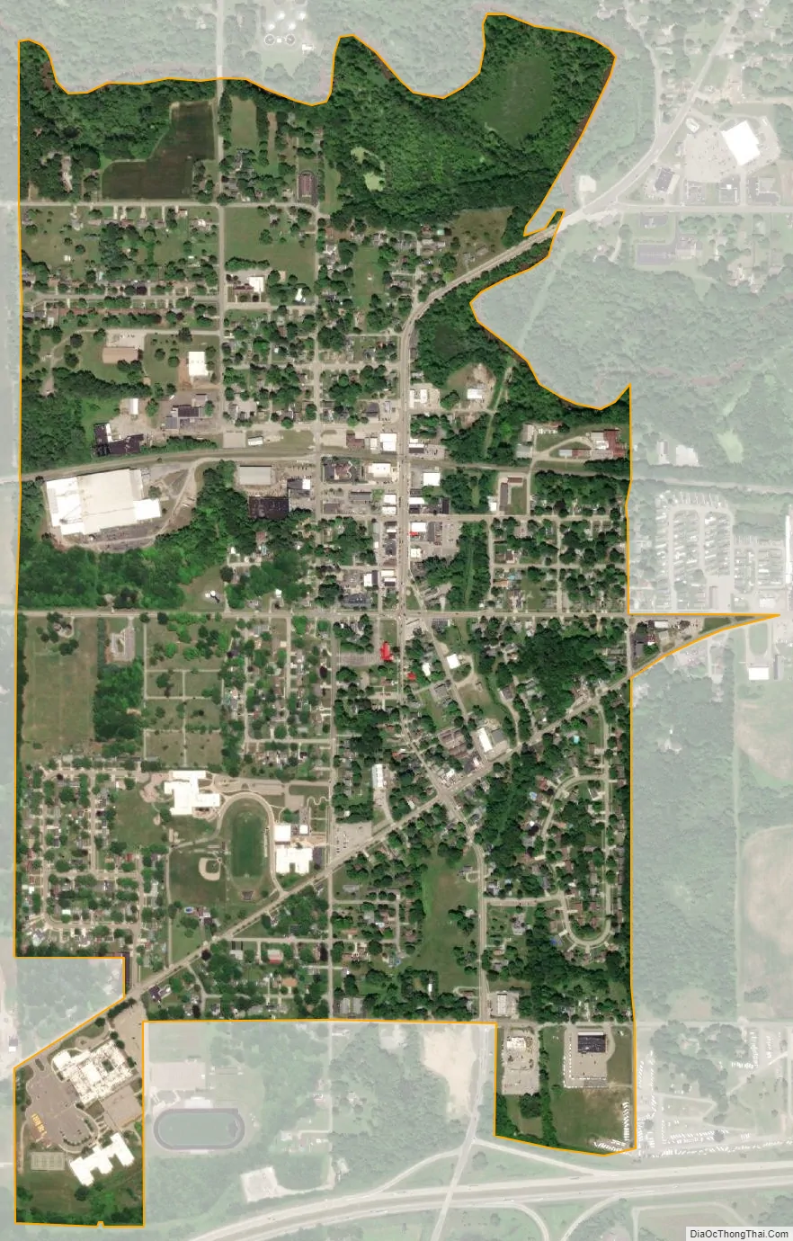
Coloma city Satellite Map
Geography
According to the United States Census Bureau, the city has a total area of 0.89 square miles (2.31 km), all land.
Rich farmland in the area made temperate by Lake Michigan is called the Fruit Belt, and Coloma is located in the Lake Michigan Shore American Viticultural Area.
Coloma is near the former resort area of Paw Paw Lake.
See also
Map of Michigan State and its subdivision:- Alcona
- Alger
- Allegan
- Alpena
- Antrim
- Arenac
- Baraga
- Barry
- Bay
- Benzie
- Berrien
- Branch
- Calhoun
- Cass
- Charlevoix
- Cheboygan
- Chippewa
- Clare
- Clinton
- Crawford
- Delta
- Dickinson
- Eaton
- Emmet
- Genesee
- Gladwin
- Gogebic
- Grand Traverse
- Gratiot
- Hillsdale
- Houghton
- Huron
- Ingham
- Ionia
- Iosco
- Iron
- Isabella
- Jackson
- Kalamazoo
- Kalkaska
- Kent
- Keweenaw
- Lake
- Lake Hurron
- Lake Michigan
- Lake St. Clair
- Lake Superior
- Lapeer
- Leelanau
- Lenawee
- Livingston
- Luce
- Mackinac
- Macomb
- Manistee
- Marquette
- Mason
- Mecosta
- Menominee
- Midland
- Missaukee
- Monroe
- Montcalm
- Montmorency
- Muskegon
- Newaygo
- Oakland
- Oceana
- Ogemaw
- Ontonagon
- Osceola
- Oscoda
- Otsego
- Ottawa
- Presque Isle
- Roscommon
- Saginaw
- Saint Clair
- Saint Joseph
- Sanilac
- Schoolcraft
- Shiawassee
- Tuscola
- Van Buren
- Washtenaw
- Wayne
- Wexford
- Alabama
- Alaska
- Arizona
- Arkansas
- California
- Colorado
- Connecticut
- Delaware
- District of Columbia
- Florida
- Georgia
- Hawaii
- Idaho
- Illinois
- Indiana
- Iowa
- Kansas
- Kentucky
- Louisiana
- Maine
- Maryland
- Massachusetts
- Michigan
- Minnesota
- Mississippi
- Missouri
- Montana
- Nebraska
- Nevada
- New Hampshire
- New Jersey
- New Mexico
- New York
- North Carolina
- North Dakota
- Ohio
- Oklahoma
- Oregon
- Pennsylvania
- Rhode Island
- South Carolina
- South Dakota
- Tennessee
- Texas
- Utah
- Vermont
- Virginia
- Washington
- West Virginia
- Wisconsin
- Wyoming