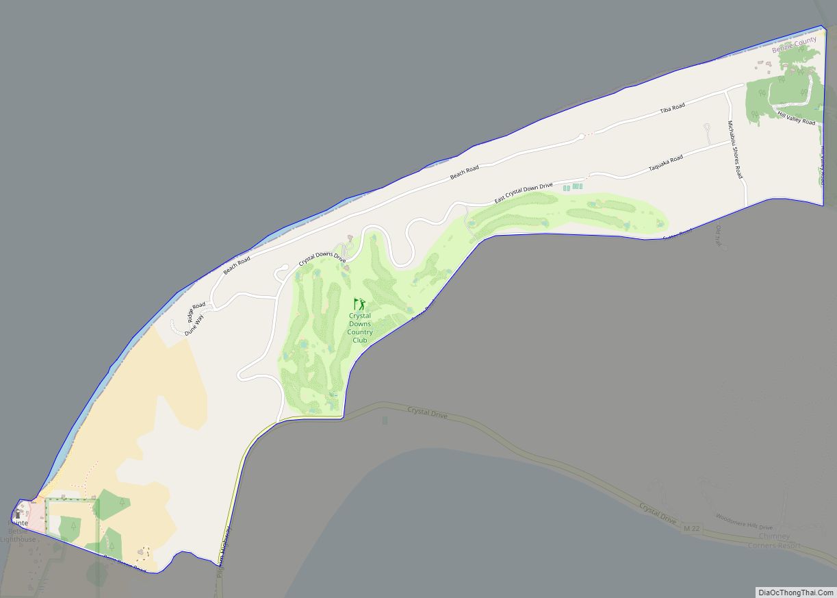
Crystal Downs Country Club is a private country club and unincorporated community in Benzie County in the U.S. state of Michigan. The community is located within Lake Township on the shores of Lake Michigan. For statistical purposes, the United States Census Bureau defined the community as a census-designated place for the first time for the 2010 census. At the census, the CDP had a population of 47 and a total land area of 1.26 square miles (3.3 km).
Designed by golf course architects Alister MacKenzie and Perry Maxwell in 1929, the par-70, 6,518-yard (5,960 m) course offers views of Lake Michigan and Crystal Lake. The Sleeping Bear Dunes National Lakeshore lies just to its east. Despite being consistently ranked among the top courses in the United States (ranked 10th for 2007–08 by Golf Digest) the only tournament of note it has hosted has been the 1991 U.S. Senior Amateur, due to its location far from population centers and the corresponding lack of sufficient facilities (lodging, transportation, infrastructure) needed to accommodate the crowds attracted by major tournament events. Crystal Downs is currently ranked the #19 course in the world according to Golf.com.
| Name: | Crystal Downs Country Club CDP |
|---|---|
| LSAD Code: | 57 |
| LSAD Description: | CDP (suffix) |
| State: | Michigan |
| County: | Benzie County |
| Elevation: | 738 ft (225 m) |
| Total Area: | 1.26 sq mi (3.25 km²) |
| Land Area: | 1.26 sq mi (3.25 km²) |
| Water Area: | 0.00 sq mi (0.00 km²) |
| Total Population: | 55 |
| Population Density: | 43.79/sq mi (16.91/km²) |
| Area code: | 231 |
| FIPS code: | 2619135 |
| GNISfeature ID: | 1877506 |
Online Interactive Map
Click on ![]() to view map in "full screen" mode.
to view map in "full screen" mode.
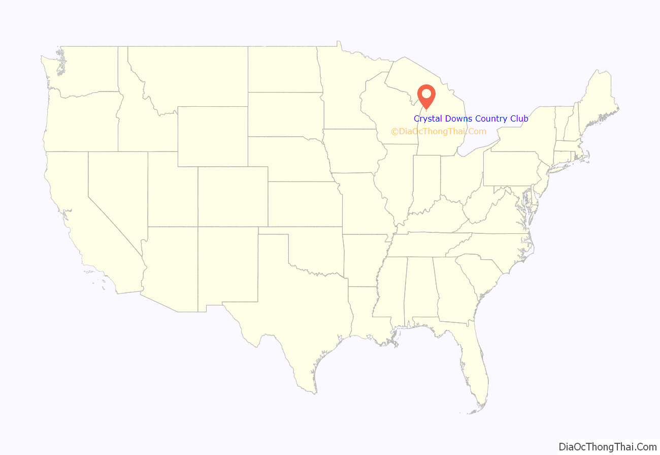
Crystal Downs Country Club location map. Where is Crystal Downs Country Club CDP?
Crystal Downs Country Club Road Map
Crystal Downs Country Club city Satellite Map
See also
Map of Michigan State and its subdivision:- Alcona
- Alger
- Allegan
- Alpena
- Antrim
- Arenac
- Baraga
- Barry
- Bay
- Benzie
- Berrien
- Branch
- Calhoun
- Cass
- Charlevoix
- Cheboygan
- Chippewa
- Clare
- Clinton
- Crawford
- Delta
- Dickinson
- Eaton
- Emmet
- Genesee
- Gladwin
- Gogebic
- Grand Traverse
- Gratiot
- Hillsdale
- Houghton
- Huron
- Ingham
- Ionia
- Iosco
- Iron
- Isabella
- Jackson
- Kalamazoo
- Kalkaska
- Kent
- Keweenaw
- Lake
- Lake Hurron
- Lake Michigan
- Lake St. Clair
- Lake Superior
- Lapeer
- Leelanau
- Lenawee
- Livingston
- Luce
- Mackinac
- Macomb
- Manistee
- Marquette
- Mason
- Mecosta
- Menominee
- Midland
- Missaukee
- Monroe
- Montcalm
- Montmorency
- Muskegon
- Newaygo
- Oakland
- Oceana
- Ogemaw
- Ontonagon
- Osceola
- Oscoda
- Otsego
- Ottawa
- Presque Isle
- Roscommon
- Saginaw
- Saint Clair
- Saint Joseph
- Sanilac
- Schoolcraft
- Shiawassee
- Tuscola
- Van Buren
- Washtenaw
- Wayne
- Wexford
- Alabama
- Alaska
- Arizona
- Arkansas
- California
- Colorado
- Connecticut
- Delaware
- District of Columbia
- Florida
- Georgia
- Hawaii
- Idaho
- Illinois
- Indiana
- Iowa
- Kansas
- Kentucky
- Louisiana
- Maine
- Maryland
- Massachusetts
- Michigan
- Minnesota
- Mississippi
- Missouri
- Montana
- Nebraska
- Nevada
- New Hampshire
- New Jersey
- New Mexico
- New York
- North Carolina
- North Dakota
- Ohio
- Oklahoma
- Oregon
- Pennsylvania
- Rhode Island
- South Carolina
- South Dakota
- Tennessee
- Texas
- Utah
- Vermont
- Virginia
- Washington
- West Virginia
- Wisconsin
- Wyoming
