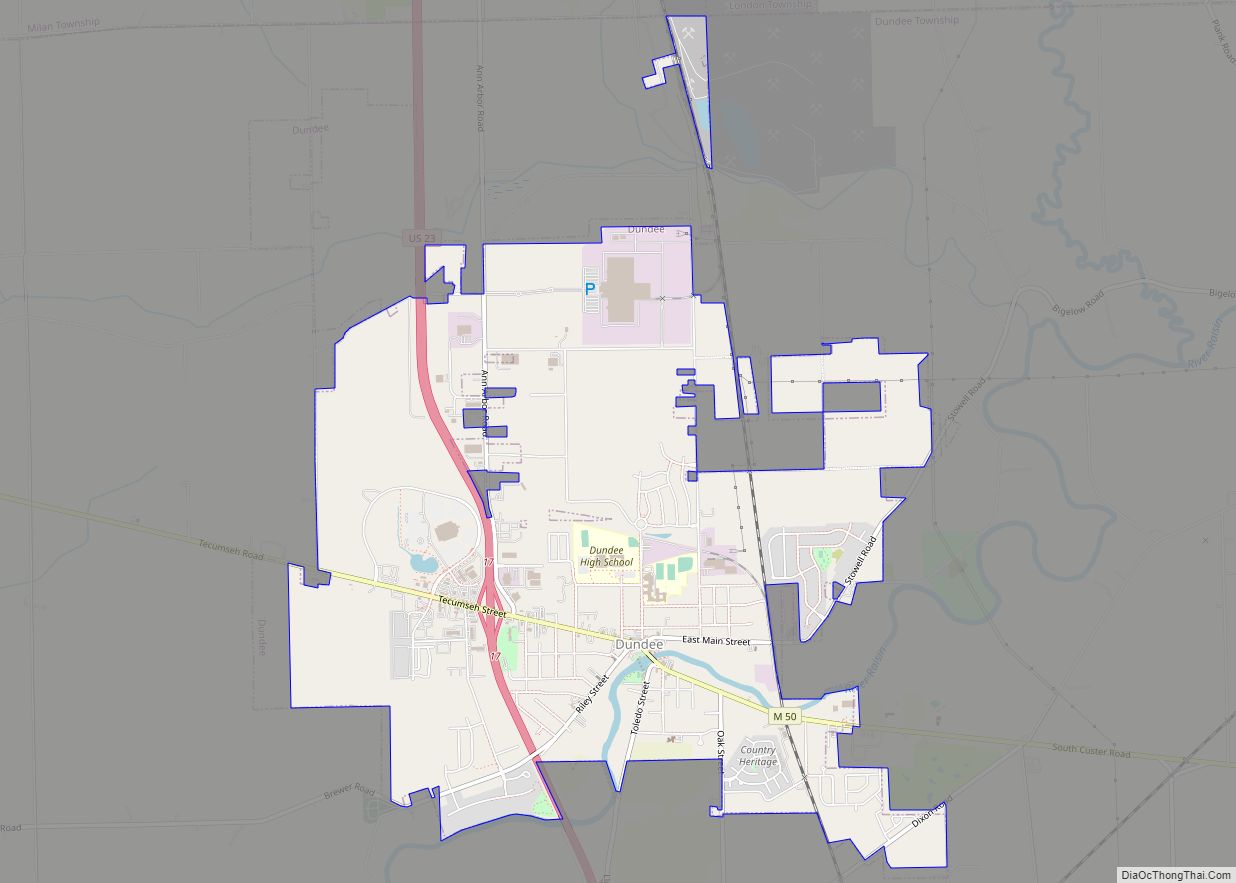
Dundee is a village in Monroe County in the U.S. state of Michigan. The population was 5,323 at the 2020 census. The village is within Dundee Township and is served by Dundee Community Schools.
Settled as early as 1823, Dundee was incorporated as a village in 1855. The downtown Dundee Historic District is listed on the National Register of Historic Places, which also includes the Old Mill Museum and the Macon Reservation of the River Raisin National Battlefield Park. The village is nicknamed the “Hub of the Highways” due to the intersection of major historic thoroughfares at the village’s center (specifically present-day M-50 and U.S. Route 23).
| Name: | Dundee village |
|---|---|
| LSAD Code: | 47 |
| LSAD Description: | village (suffix) |
| State: | Michigan |
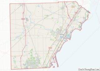
| County: | Monroe County |
| Incorporated: | 1855 |
| Elevation: | 666 ft (203 m) |
| Total Area: | 5.28 sq mi (13.68 km²) |
| Land Area: | 5.24 sq mi (13.57 km²) |
| Water Area: | 0.04 sq mi (0.10 km²) |
| Total Population: | 5,323 |
| Population Density: | 1,015.26/sq mi (392.01/km²) |
| Area code: | 734 |
| FIPS code: | 2623380 |
| GNISfeature ID: | 0624990 |
Online Interactive Map
Click on ![]() to view map in "full screen" mode.
to view map in "full screen" mode.
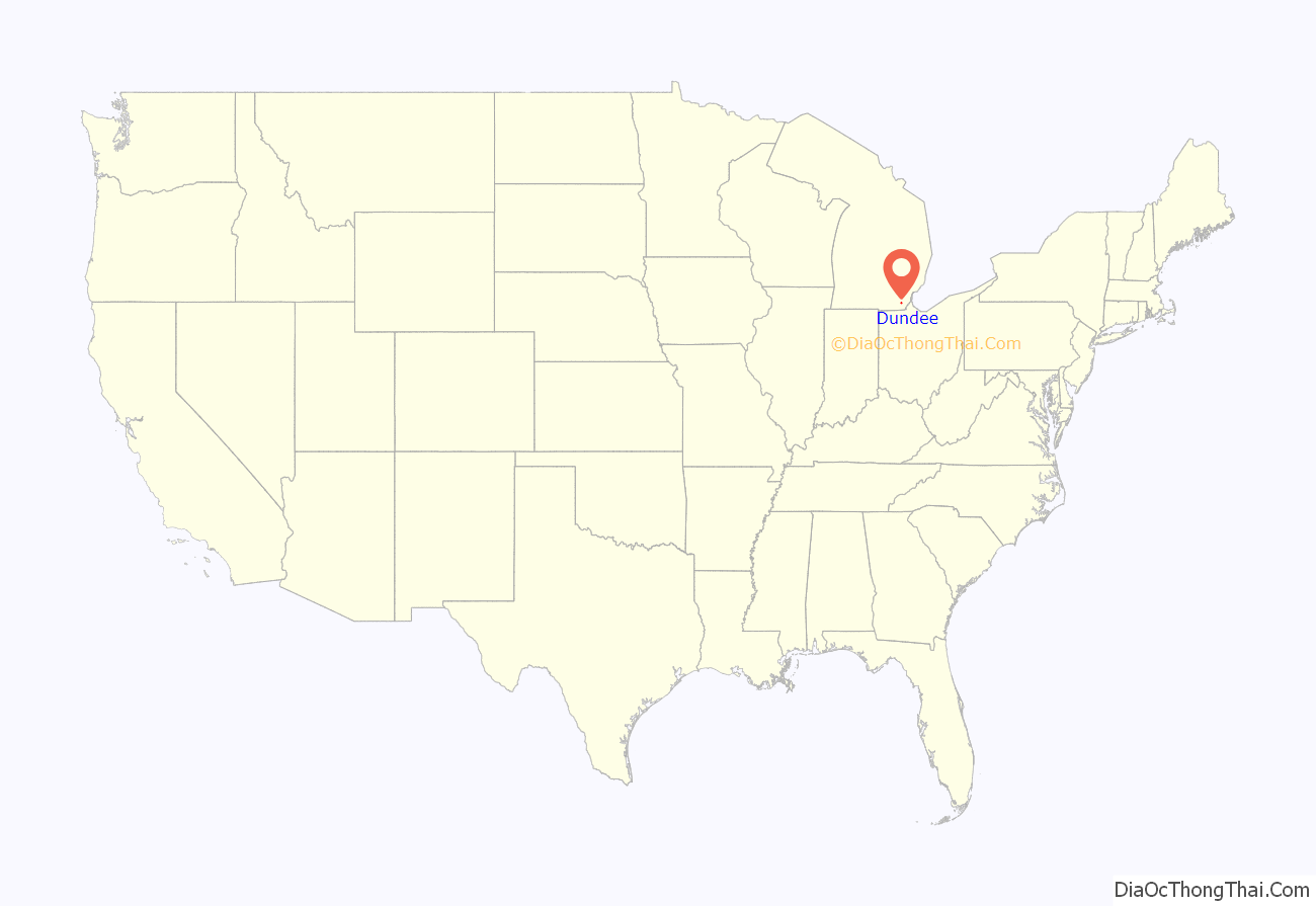
Dundee location map. Where is Dundee village?
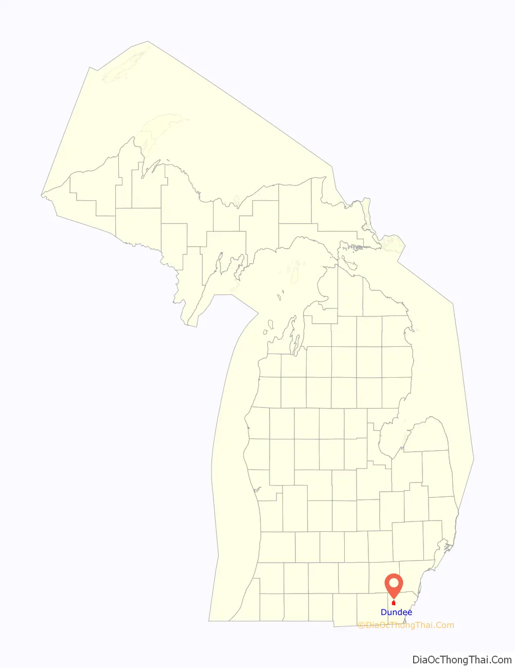
Dundee Road Map
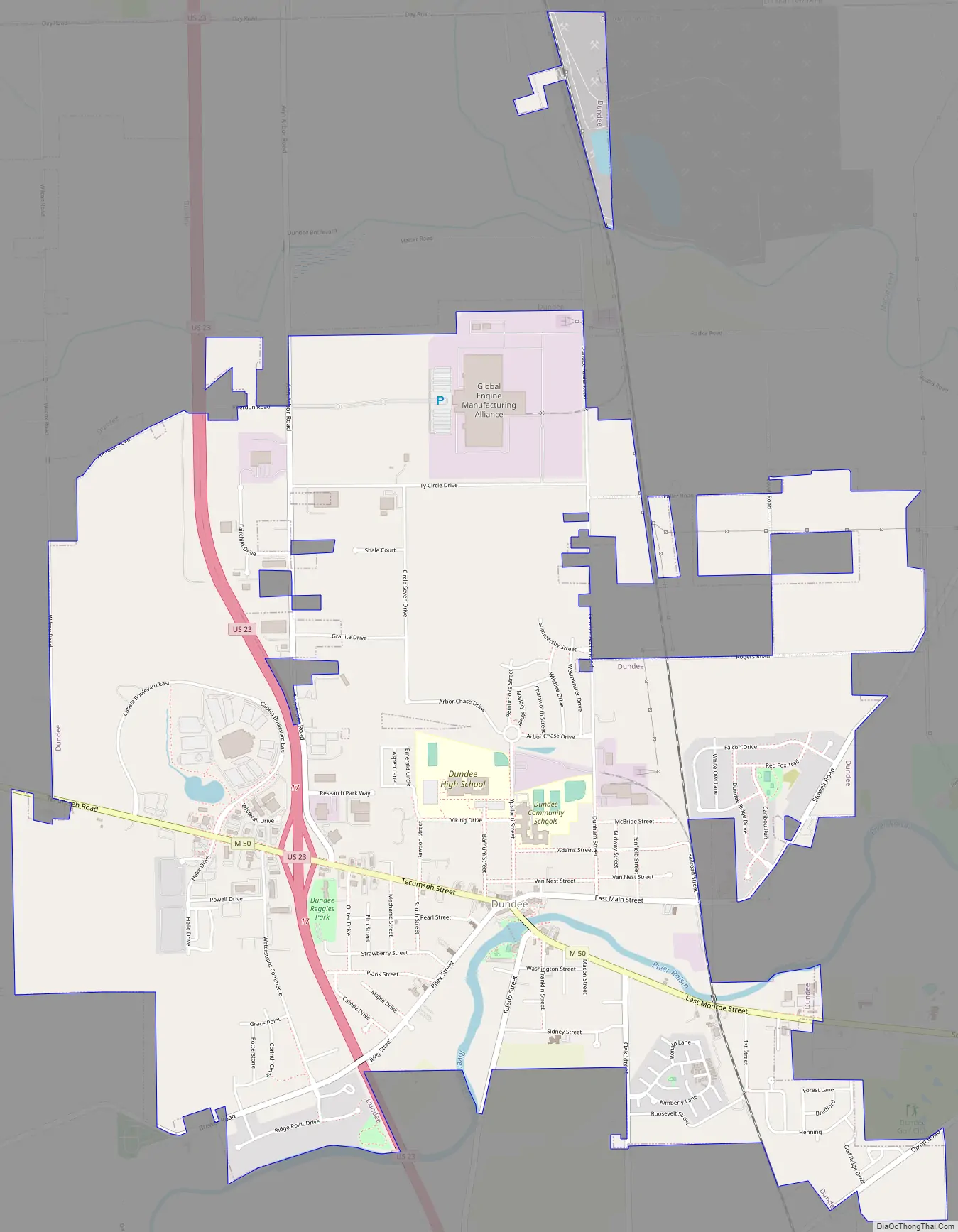
Dundee city Satellite Map

Geography
According to the U.S. Census Bureau, the village has a total area of 5.28 square miles (13.68 km), of which 5.24 square miles (13.57 km) is land and 0.04 square miles (0.10 km) (0.76%) is water. Dundee is the largest village by land area in the state of Michigan.
Climate
According to the Köppen Climate Classification system, Dundee has a hot-summer humid continental climate, abbreviated “Dfa” on climate maps. The hottest temperature recorded in Dundee was 101 °F (38.3 °C) on July 22, 2011, July 5, 2012, and July 8, 2012, while the coldest temperature recorded was −15 °F (−26.1 °C) on January 16, 2009, January 7, 2014, and February 20–21, 2015.
Major highways
- US 23
- M-50
See also
Map of Michigan State and its subdivision:- Alcona
- Alger
- Allegan
- Alpena
- Antrim
- Arenac
- Baraga
- Barry
- Bay
- Benzie
- Berrien
- Branch
- Calhoun
- Cass
- Charlevoix
- Cheboygan
- Chippewa
- Clare
- Clinton
- Crawford
- Delta
- Dickinson
- Eaton
- Emmet
- Genesee
- Gladwin
- Gogebic
- Grand Traverse
- Gratiot
- Hillsdale
- Houghton
- Huron
- Ingham
- Ionia
- Iosco
- Iron
- Isabella
- Jackson
- Kalamazoo
- Kalkaska
- Kent
- Keweenaw
- Lake
- Lake Hurron
- Lake Michigan
- Lake St. Clair
- Lake Superior
- Lapeer
- Leelanau
- Lenawee
- Livingston
- Luce
- Mackinac
- Macomb
- Manistee
- Marquette
- Mason
- Mecosta
- Menominee
- Midland
- Missaukee
- Monroe
- Montcalm
- Montmorency
- Muskegon
- Newaygo
- Oakland
- Oceana
- Ogemaw
- Ontonagon
- Osceola
- Oscoda
- Otsego
- Ottawa
- Presque Isle
- Roscommon
- Saginaw
- Saint Clair
- Saint Joseph
- Sanilac
- Schoolcraft
- Shiawassee
- Tuscola
- Van Buren
- Washtenaw
- Wayne
- Wexford
- Alabama
- Alaska
- Arizona
- Arkansas
- California
- Colorado
- Connecticut
- Delaware
- District of Columbia
- Florida
- Georgia
- Hawaii
- Idaho
- Illinois
- Indiana
- Iowa
- Kansas
- Kentucky
- Louisiana
- Maine
- Maryland
- Massachusetts
- Michigan
- Minnesota
- Mississippi
- Missouri
- Montana
- Nebraska
- Nevada
- New Hampshire
- New Jersey
- New Mexico
- New York
- North Carolina
- North Dakota
- Ohio
- Oklahoma
- Oregon
- Pennsylvania
- Rhode Island
- South Carolina
- South Dakota
- Tennessee
- Texas
- Utah
- Vermont
- Virginia
- Washington
- West Virginia
- Wisconsin
- Wyoming