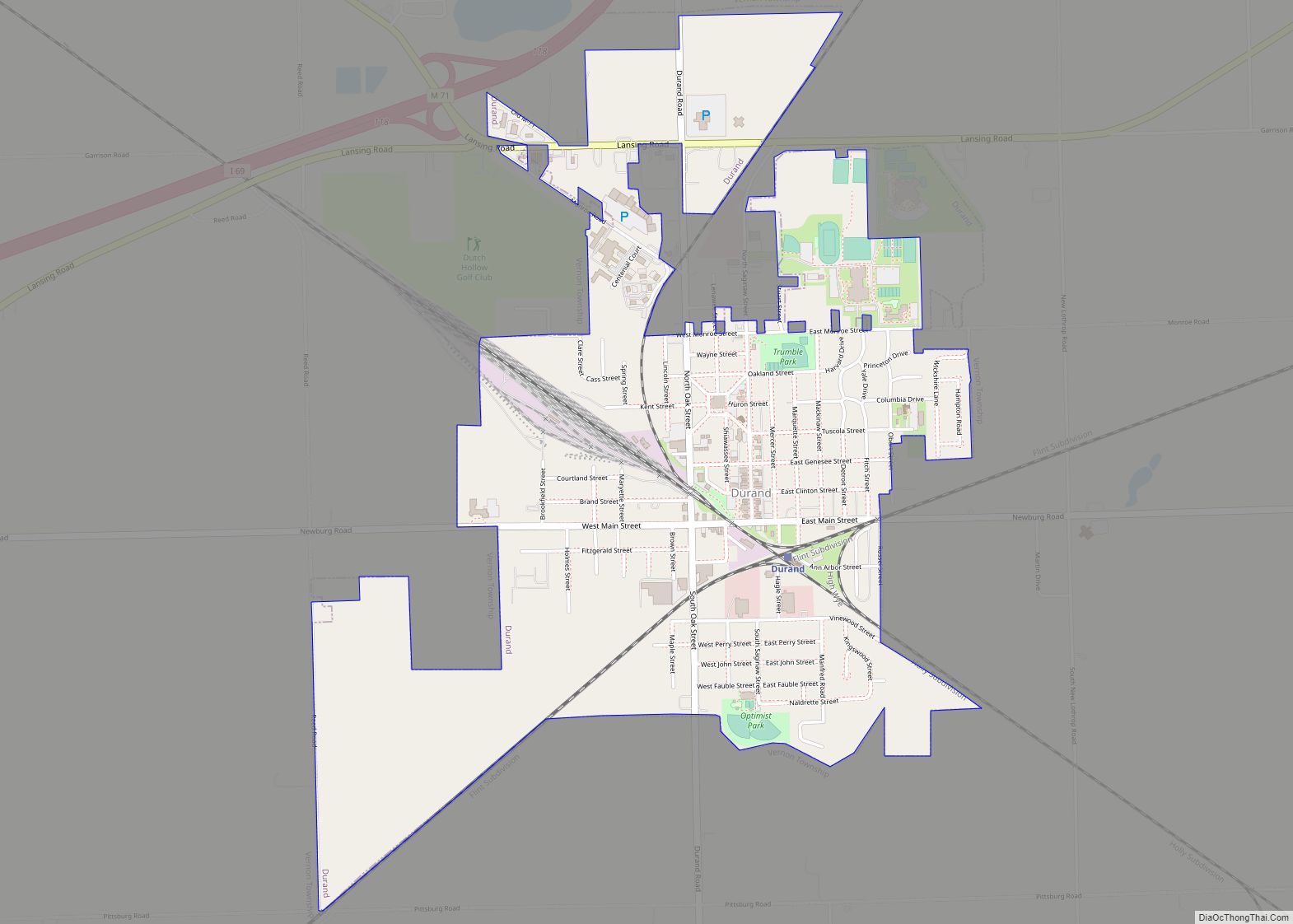
Durand is a city in Shiawassee County in the U.S. state of Michigan. The population was 3,446 at the 2010 census. Nicknamed “Railroad City, USA”, it is best known for its large train station which was a major hub for the Grand Trunk Western and Ann Arbor railroads during most of the 20th century, and is currently served by Amtrak. Additionally, several freight carriers use a rail yard in the city, which is accessible from all directions.
| Name: | Durand city |
|---|---|
| LSAD Code: | 25 |
| LSAD Description: | city (suffix) |
| State: | Michigan |
| County: | Shiawassee County |
| Incorporated: | 1887 (village) 1932 (city) |
| Elevation: | 794 ft (242 m) |
| Total Area: | 1.95 sq mi (5.06 km²) |
| Land Area: | 1.95 sq mi (5.06 km²) |
| Water Area: | 0.00 sq mi (0.00 km²) |
| Total Population: | 3,507 |
| Population Density: | 1,795.70/sq mi (693.16/km²) |
| Area code: | 989 |
| FIPS code: | 2623500 |
| GNISfeature ID: | 1626198 |
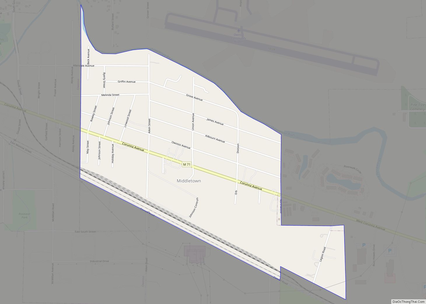
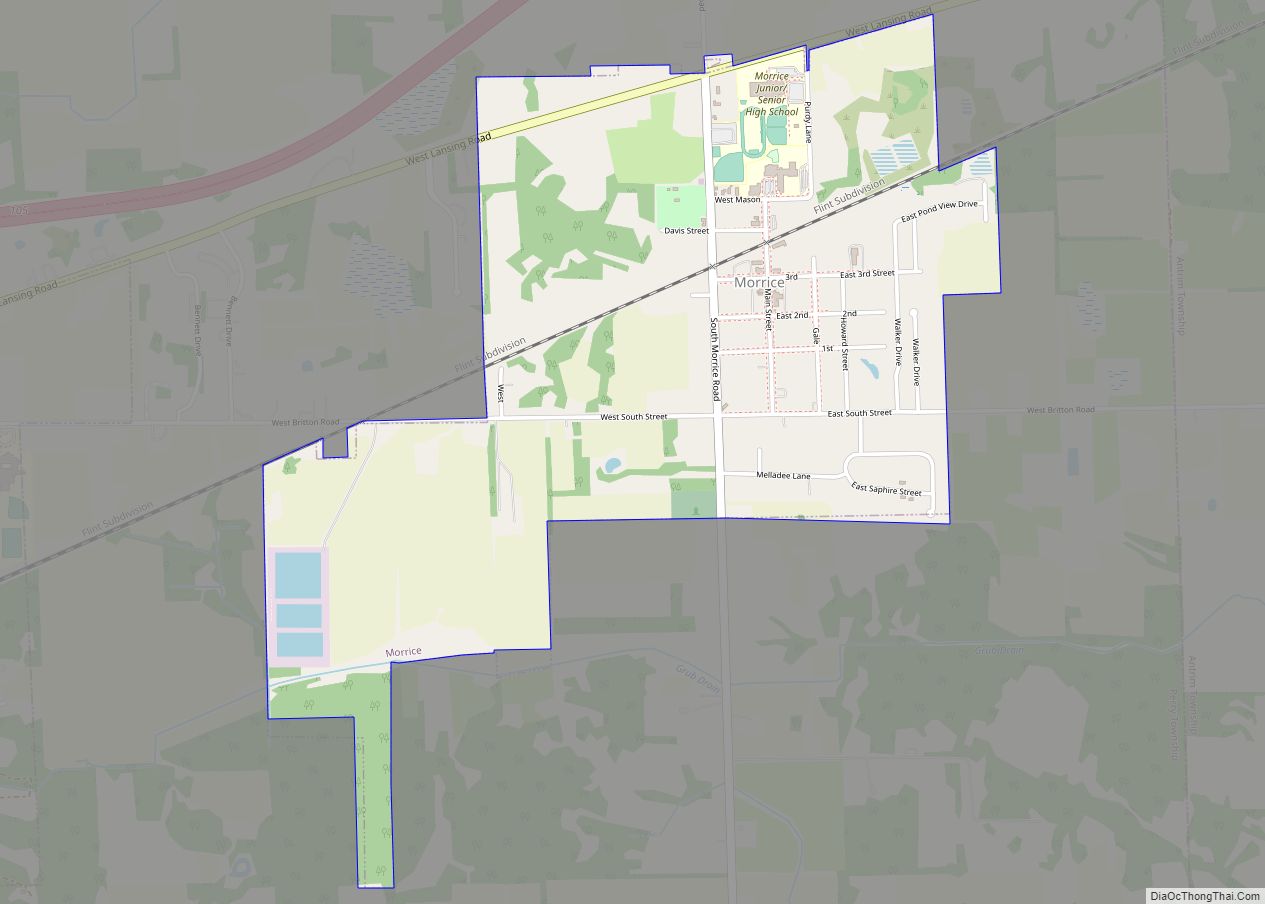
Online Interactive Map
Click on ![]() to view map in "full screen" mode.
to view map in "full screen" mode.
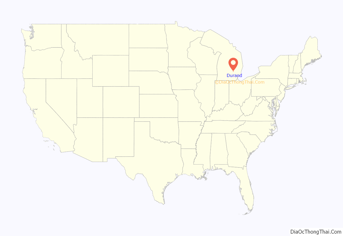
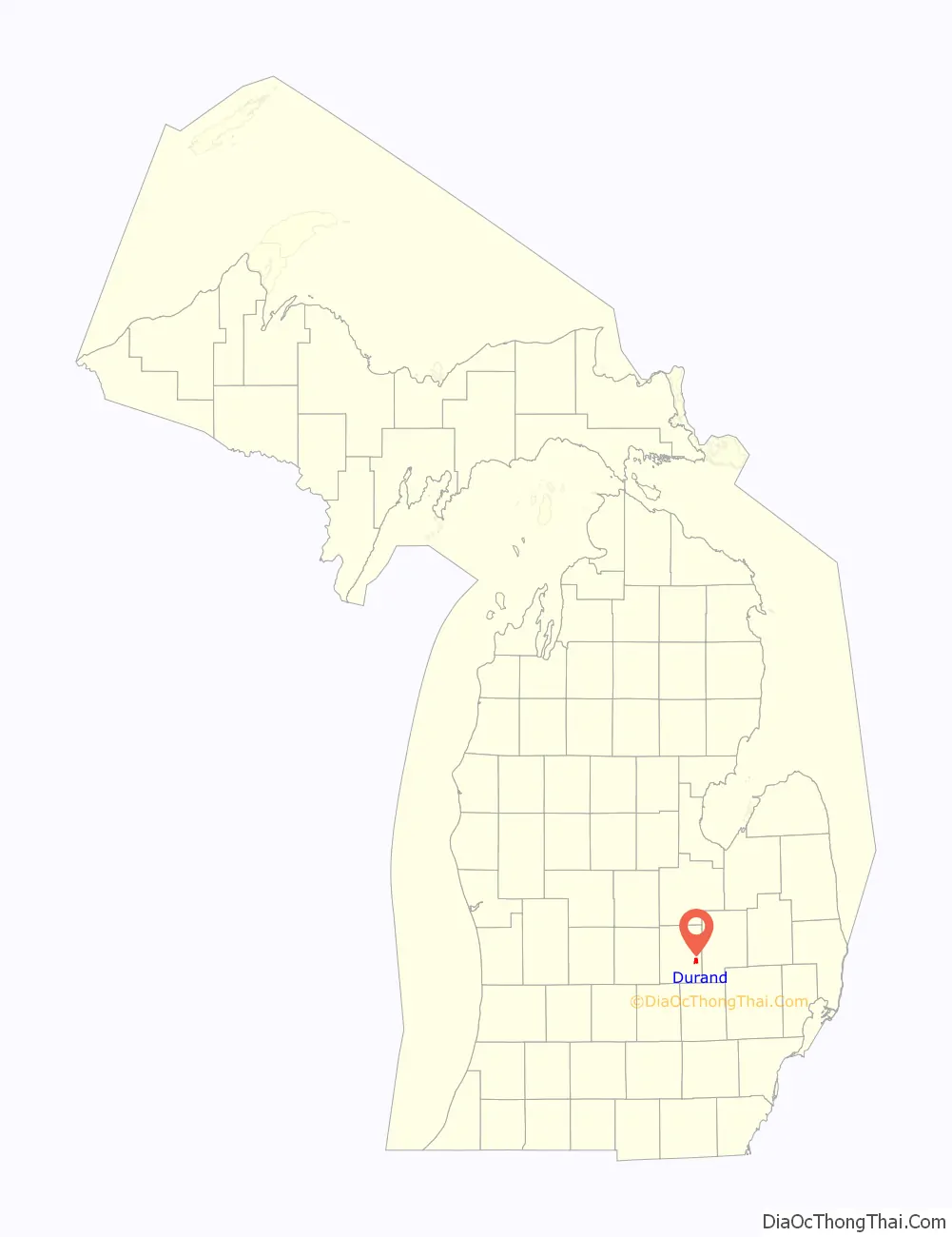
Durand location map. Where is Durand city?
History
Durand was originally called Vernon Center, and under the latter name was platted in 1836 and named from its location in Vernon Township. The present name is for congressman George Durand of Flint, Michigan. Durand was incorporated as a village in 1887 and as a city in 1932.
In a 1967 National Educational Radio Network radio series, local seniors discussed the early 20th Century history of the town; there were at one point over 10 bars in town where locals could get alcohol and there were often fights, with men coming from other towns to fight the tough men of Durand. Residents also recalled the Ku Klux Klan burning crosses downtown and organizing rallies against local Catholic residents. The railroad was a fascination with the local children, who often got too close to the tracks and about “once a generation” a child would lose their life playing along the railroad tracks.
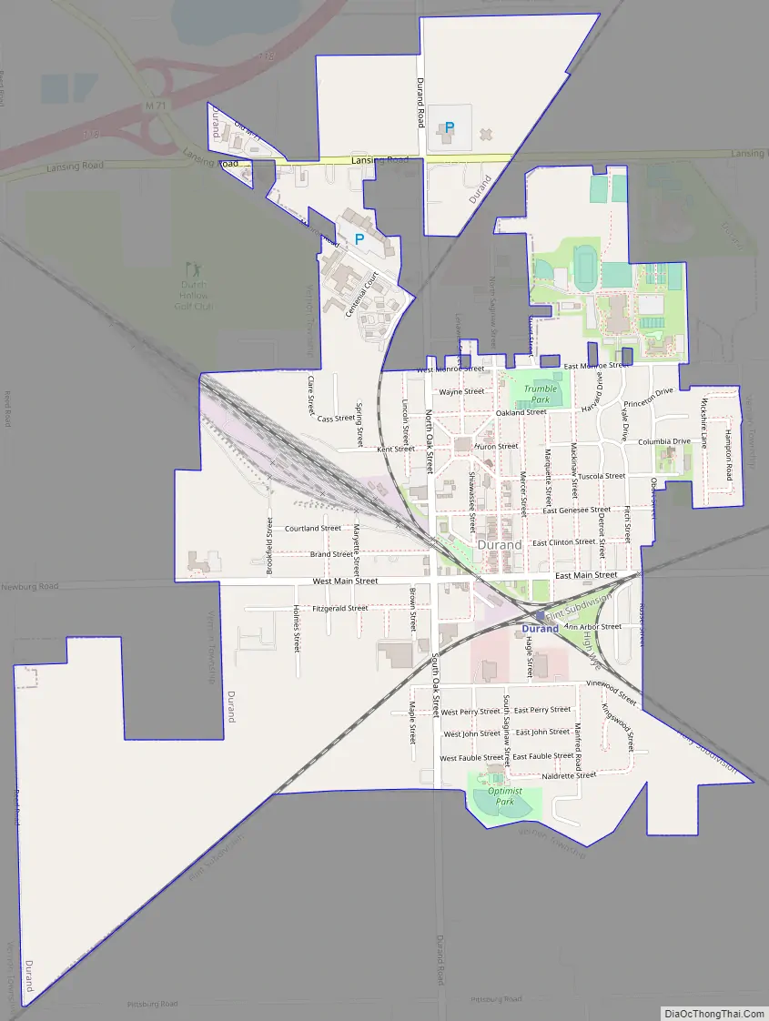
Durand Road Map
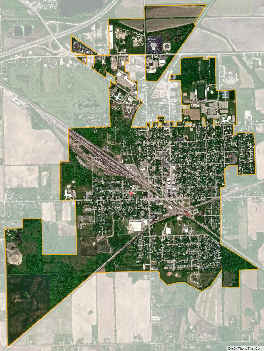
Durand city Satellite Map
Geography
According to the United States Census Bureau, the city has a total area of 2.11 square miles (5.46 km), of which 2.10 square miles (5.44 km) is land and 0.01 square miles (0.03 km) (0.47%) is water.
See also
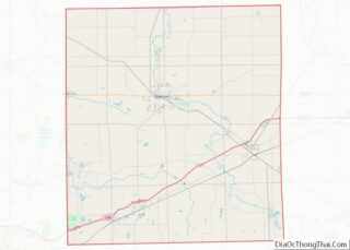
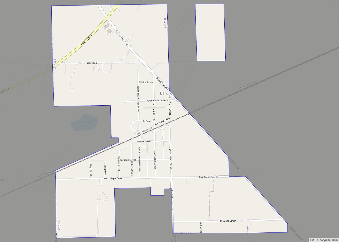
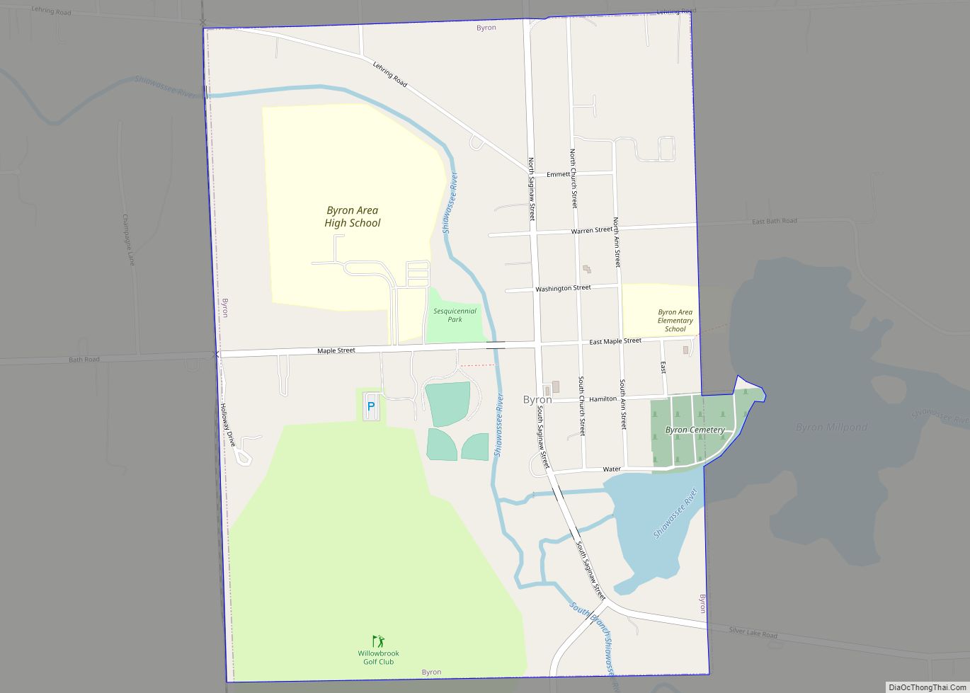
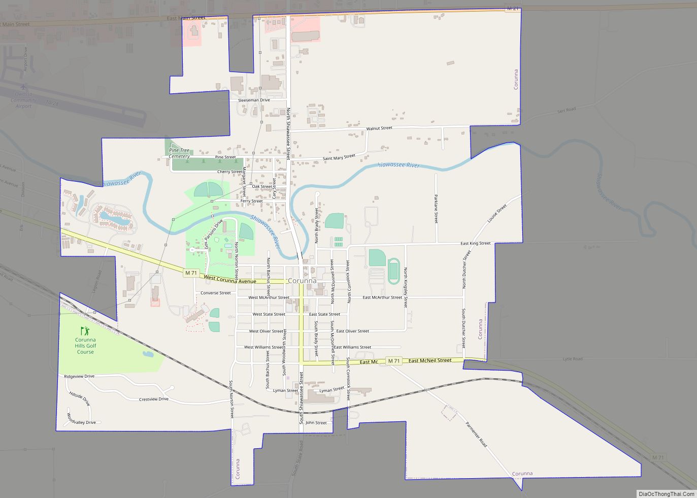
Map of Michigan State and its subdivision:- Alcona
- Alger
- Allegan
- Alpena
- Antrim
- Arenac
- Baraga
- Barry
- Bay
- Benzie
- Berrien
- Branch
- Calhoun
- Cass
- Charlevoix
- Cheboygan
- Chippewa
- Clare
- Clinton
- Crawford
- Delta
- Dickinson
- Eaton
- Emmet
- Genesee
- Gladwin
- Gogebic
- Grand Traverse
- Gratiot
- Hillsdale
- Houghton
- Huron
- Ingham
- Ionia
- Iosco
- Iron
- Isabella
- Jackson
- Kalamazoo
- Kalkaska
- Kent
- Keweenaw
- Lake
- Lake Hurron
- Lake Michigan
- Lake St. Clair
- Lake Superior
- Lapeer
- Leelanau
- Lenawee
- Livingston
- Luce
- Mackinac
- Macomb
- Manistee
- Marquette
- Mason
- Mecosta
- Menominee
- Midland
- Missaukee
- Monroe
- Montcalm
- Montmorency
- Muskegon
- Newaygo
- Oakland
- Oceana
- Ogemaw
- Ontonagon
- Osceola
- Oscoda
- Otsego
- Ottawa
- Presque Isle
- Roscommon
- Saginaw
- Saint Clair
- Saint Joseph
- Sanilac
- Schoolcraft
- Shiawassee
- Tuscola
- Van Buren
- Washtenaw
- Wayne
- Wexford
- Alabama
- Alaska
- Arizona
- Arkansas
- California
- Colorado
- Connecticut
- Delaware
- District of Columbia
- Florida
- Georgia
- Hawaii
- Idaho
- Illinois
- Indiana
- Iowa
- Kansas
- Kentucky
- Louisiana
- Maine
- Maryland
- Massachusetts
- Michigan
- Minnesota
- Mississippi
- Missouri
- Montana
- Nebraska
- Nevada
- New Hampshire
- New Jersey
- New Mexico
- New York
- North Carolina
- North Dakota
- Ohio
- Oklahoma
- Oregon
- Pennsylvania
- Rhode Island
- South Carolina
- South Dakota
- Tennessee
- Texas
- Utah
- Vermont
- Virginia
- Washington
- West Virginia
- Wisconsin
- Wyoming