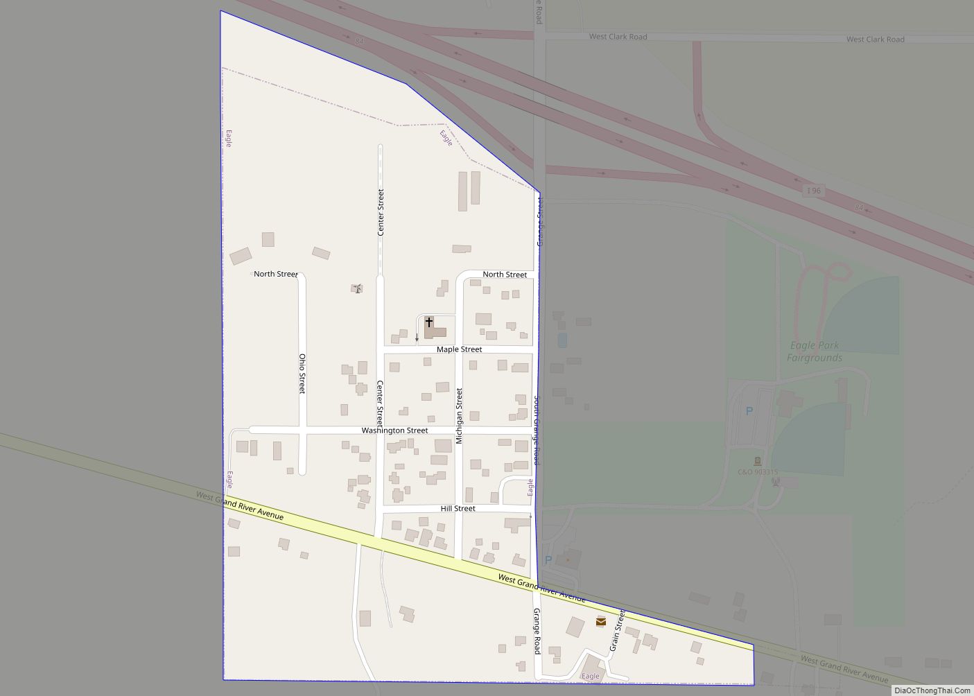
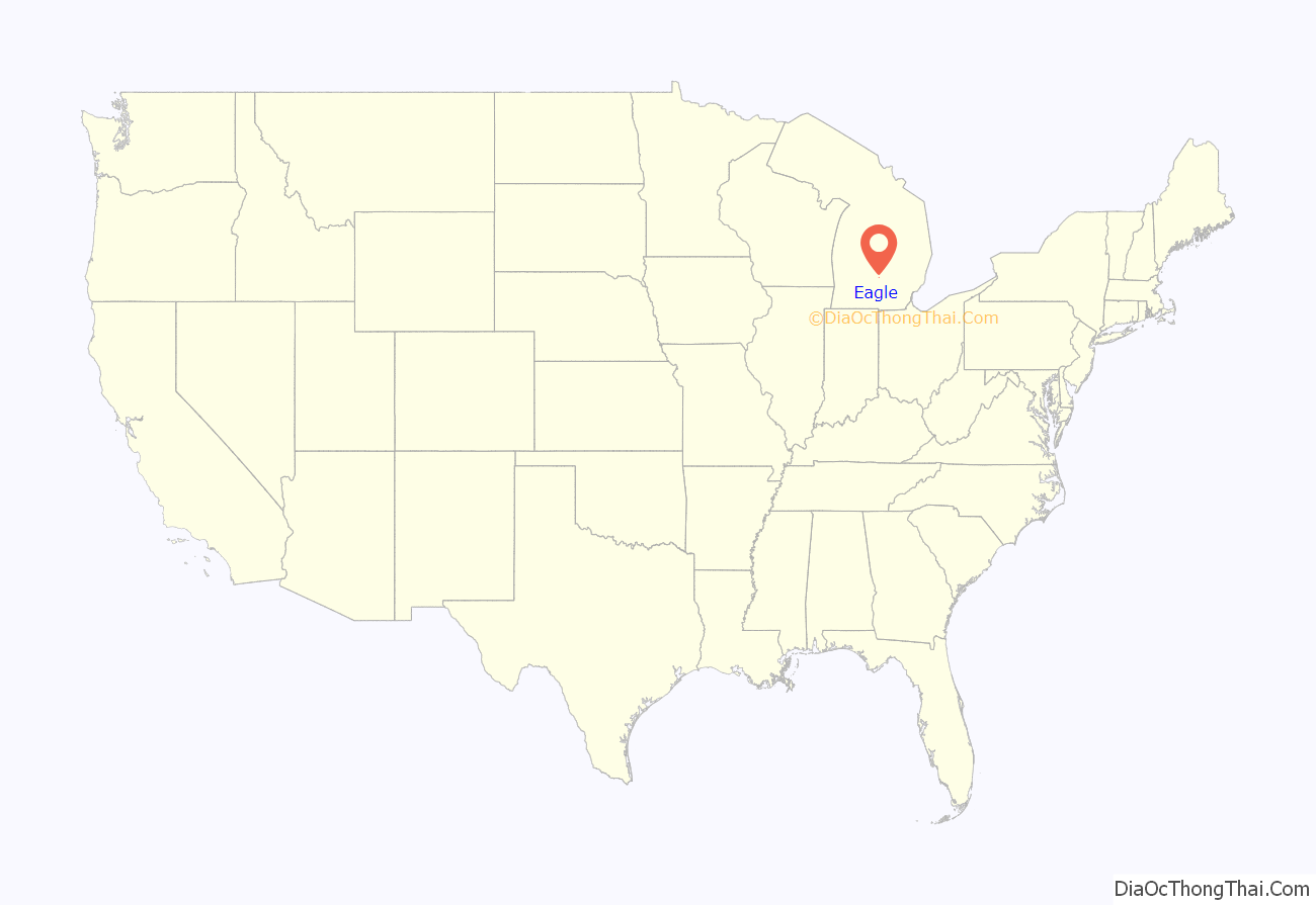
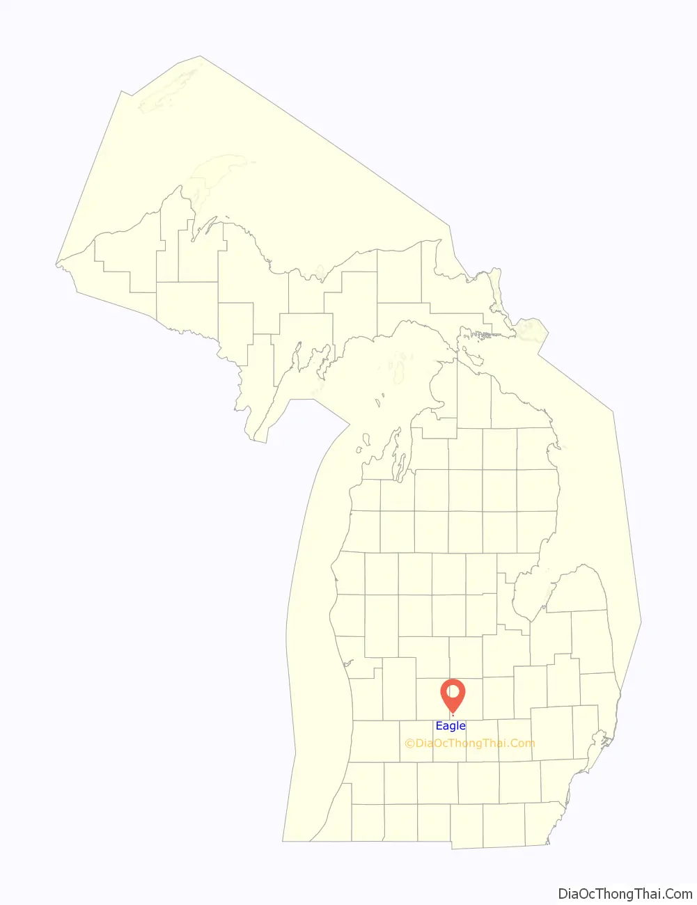
Eagle is a village in southwest Clinton County in the U.S. state of Michigan. The population was 123 at the 2010 census. The village is within Eagle Township in the southwest corner of the county. It is near Interstate 96 about 15 miles (24 km) northwest of Lansing.
Eagle is the second-least populated village in the state after Turner (population 121). With a land area of only 0.125 square miles (0.324 km), Eagle is the fourth-smallest overall municipality in the state by land area after Ahmeek, Copper City, and Novi Township.
| Name: | Eagle village |
|---|---|
| LSAD Code: | 47 |
| LSAD Description: | village (suffix) |
| State: | Michigan |
| County: | Clinton County |
| Incorporated: | 1873 |
| Elevation: | 837 ft (255 m) |
| Total Area: | 0.13 sq mi (0.32 km²) |
| Land Area: | 0.13 sq mi (0.32 km²) |
| Water Area: | 0.00 sq mi (0.00 km²) |
| Total Population: | 122 |
| Population Density: | 976.00/sq mi (376.23/km²) |
| Area code: | 517 |
| FIPS code: | 2623560 |
| GNISfeature ID: | 0625069 |
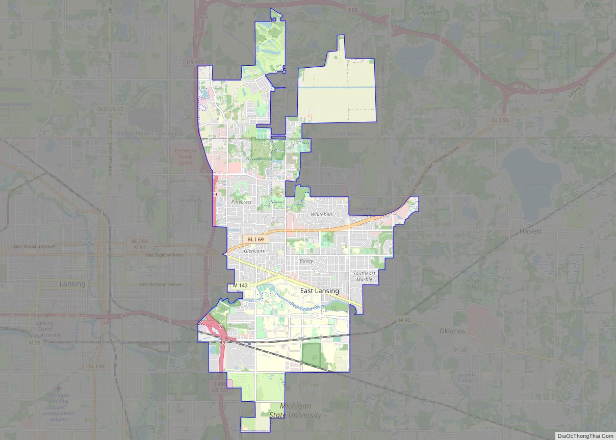
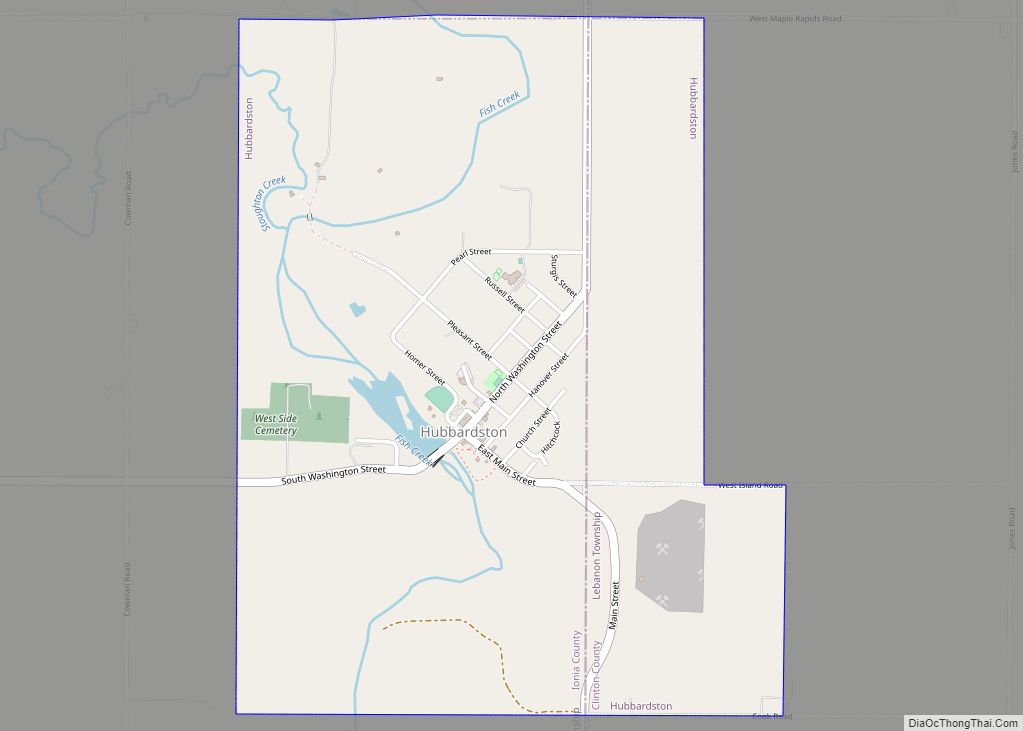
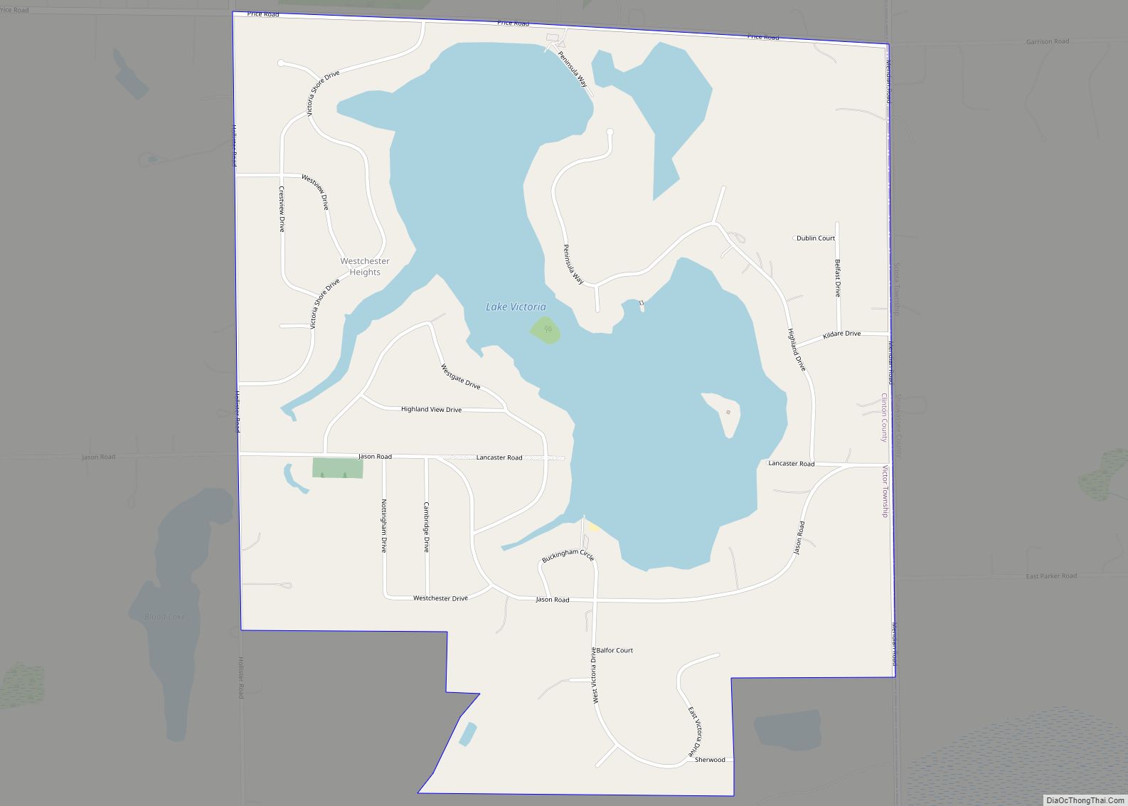
Online Interactive Map
Click on ![]() to view map in "full screen" mode.
to view map in "full screen" mode.
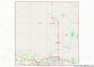
Eagle location map. Where is Eagle village?
History
The current site of the village was formed in 1872 when George W. McCrumb donated land for a rail depot and Methodist Church, before which there had been a village of the same name a half mile west, that dated back to 1834. It was incorporated as a village in 1873.
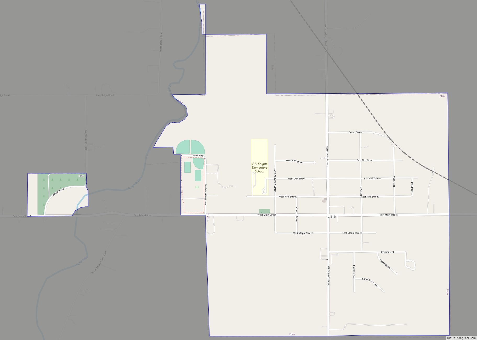
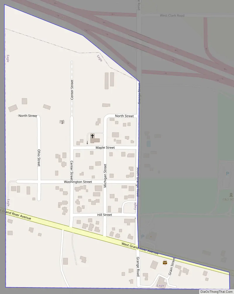
Eagle Road Map
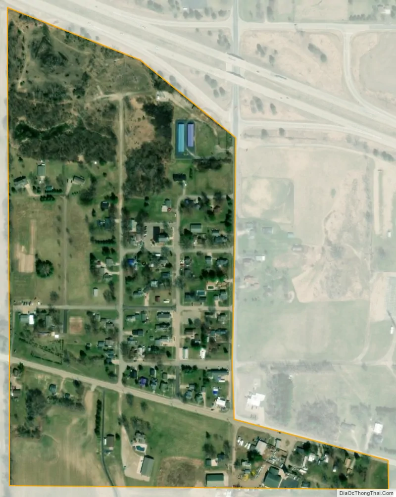
Eagle city Satellite Map
Geography
According to the United States Census Bureau, the village has a total area of 0.125 square miles (0.324 km), all land.
See also
Map of Michigan State and its subdivision:- Alcona
- Alger
- Allegan
- Alpena
- Antrim
- Arenac
- Baraga
- Barry
- Bay
- Benzie
- Berrien
- Branch
- Calhoun
- Cass
- Charlevoix
- Cheboygan
- Chippewa
- Clare
- Clinton
- Crawford
- Delta
- Dickinson
- Eaton
- Emmet
- Genesee
- Gladwin
- Gogebic
- Grand Traverse
- Gratiot
- Hillsdale
- Houghton
- Huron
- Ingham
- Ionia
- Iosco
- Iron
- Isabella
- Jackson
- Kalamazoo
- Kalkaska
- Kent
- Keweenaw
- Lake
- Lake Hurron
- Lake Michigan
- Lake St. Clair
- Lake Superior
- Lapeer
- Leelanau
- Lenawee
- Livingston
- Luce
- Mackinac
- Macomb
- Manistee
- Marquette
- Mason
- Mecosta
- Menominee
- Midland
- Missaukee
- Monroe
- Montcalm
- Montmorency
- Muskegon
- Newaygo
- Oakland
- Oceana
- Ogemaw
- Ontonagon
- Osceola
- Oscoda
- Otsego
- Ottawa
- Presque Isle
- Roscommon
- Saginaw
- Saint Clair
- Saint Joseph
- Sanilac
- Schoolcraft
- Shiawassee
- Tuscola
- Van Buren
- Washtenaw
- Wayne
- Wexford
- Alabama
- Alaska
- Arizona
- Arkansas
- California
- Colorado
- Connecticut
- Delaware
- District of Columbia
- Florida
- Georgia
- Hawaii
- Idaho
- Illinois
- Indiana
- Iowa
- Kansas
- Kentucky
- Louisiana
- Maine
- Maryland
- Massachusetts
- Michigan
- Minnesota
- Mississippi
- Missouri
- Montana
- Nebraska
- Nevada
- New Hampshire
- New Jersey
- New Mexico
- New York
- North Carolina
- North Dakota
- Ohio
- Oklahoma
- Oregon
- Pennsylvania
- Rhode Island
- South Carolina
- South Dakota
- Tennessee
- Texas
- Utah
- Vermont
- Virginia
- Washington
- West Virginia
- Wisconsin
- Wyoming