Edmore is a village in Montcalm County of the U.S. state of Michigan. The population was 1,201 at the 2010 census.
| Name: | Edmore village |
|---|---|
| LSAD Code: | 47 |
| LSAD Description: | village (suffix) |
| State: | Michigan |
| County: | Montcalm County |
| Elevation: | 968 ft (295 m) |
| Total Area: | 1.52 sq mi (3.94 km²) |
| Land Area: | 1.52 sq mi (3.94 km²) |
| Water Area: | 0.00 sq mi (0.00 km²) |
| Total Population: | 1,210 |
| Population Density: | 795.01/sq mi (306.94/km²) |
| ZIP code: | 48829 |
| Area code: | 989 |
| FIPS code: | 2625000 |
| GNISfeature ID: | 2398789 |
| Website: | www.edmore.org |
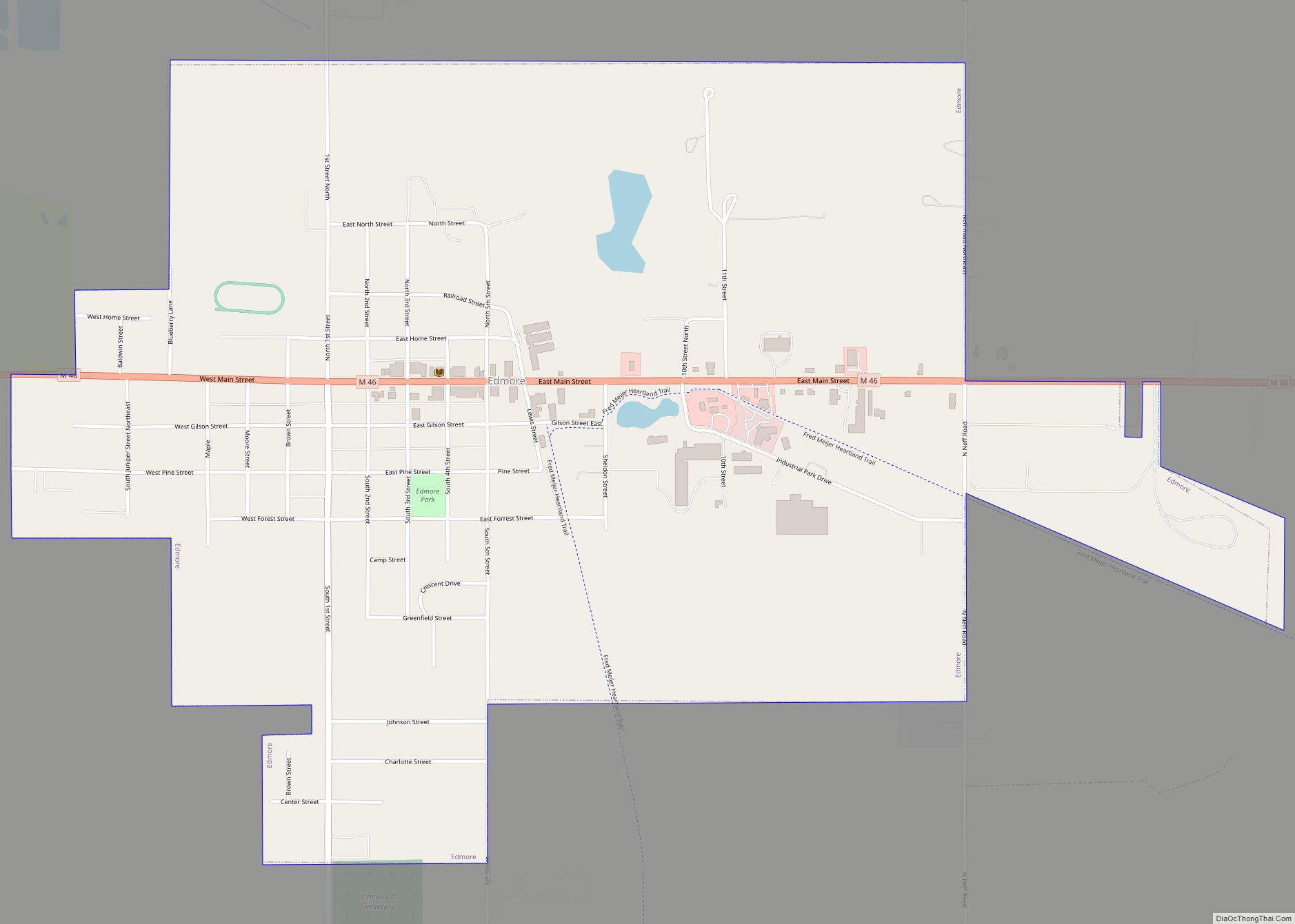
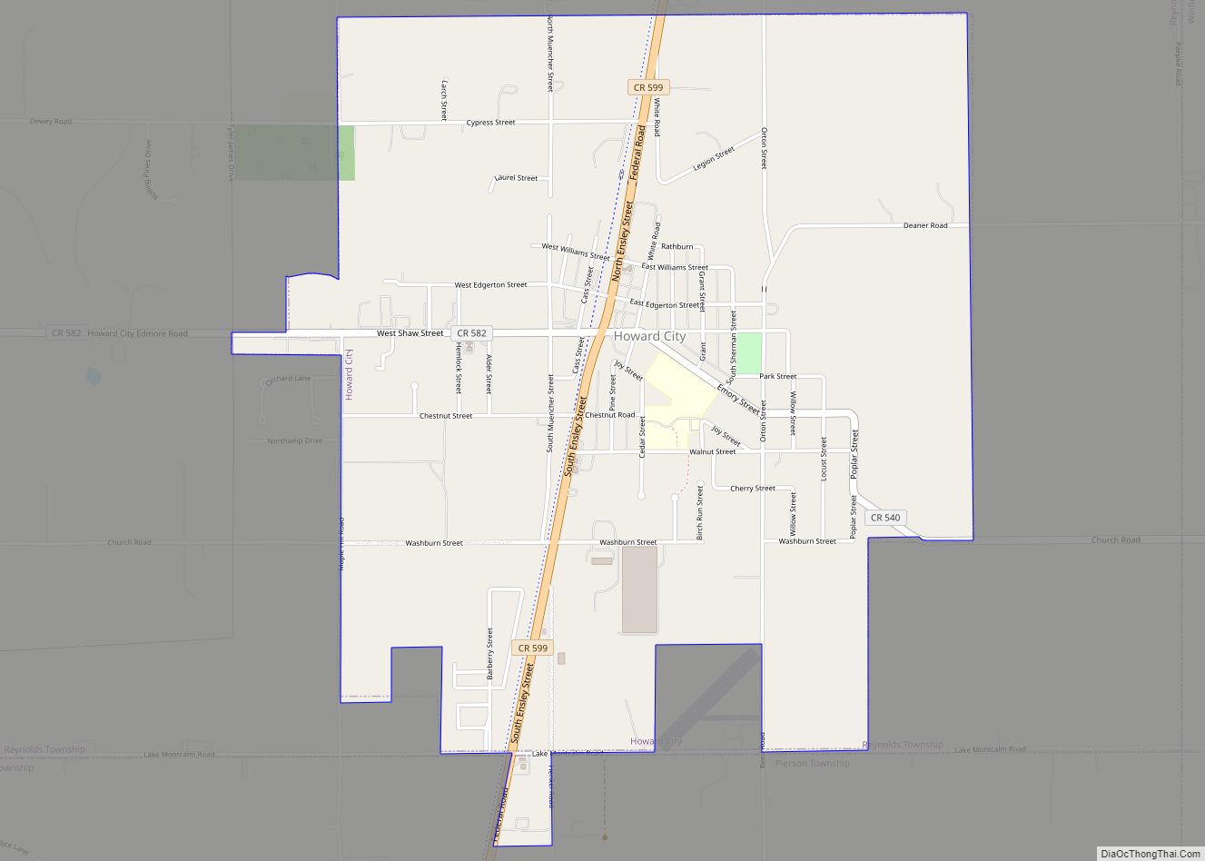
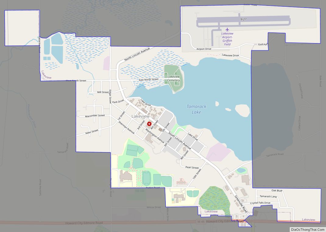
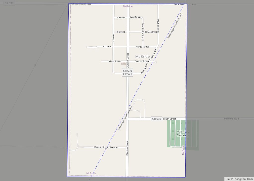
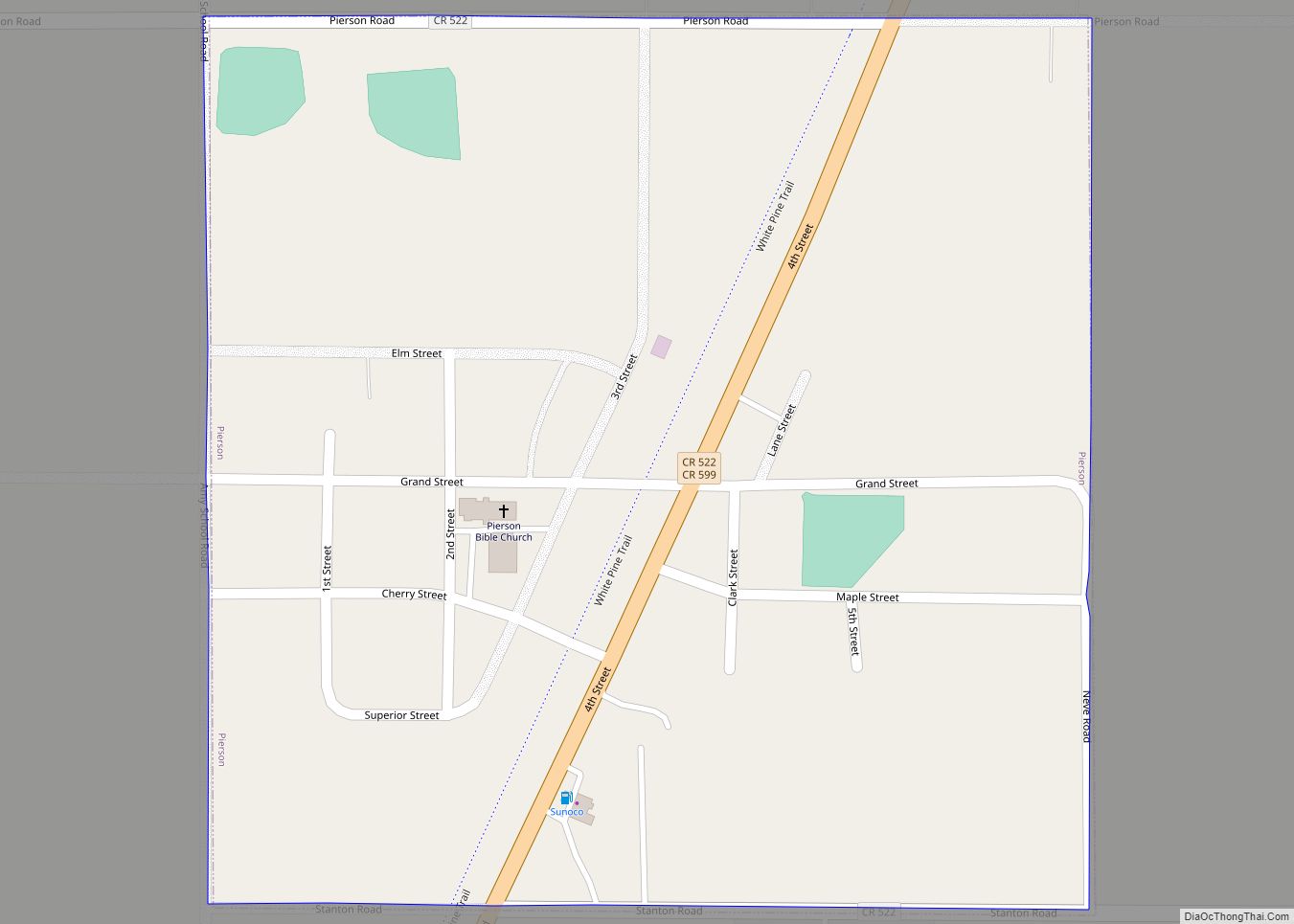
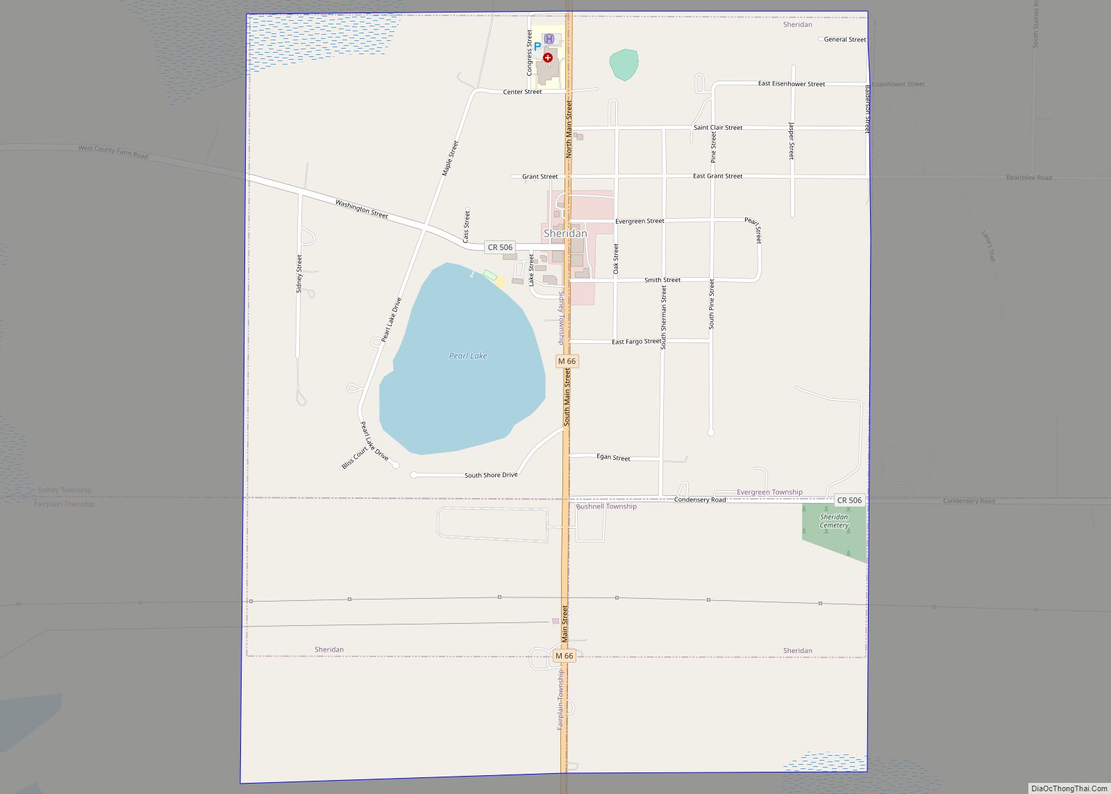
Online Interactive Map
Click on ![]() to view map in "full screen" mode.
to view map in "full screen" mode.
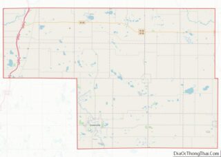
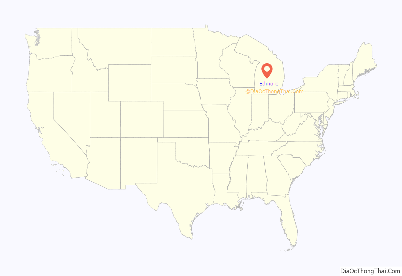
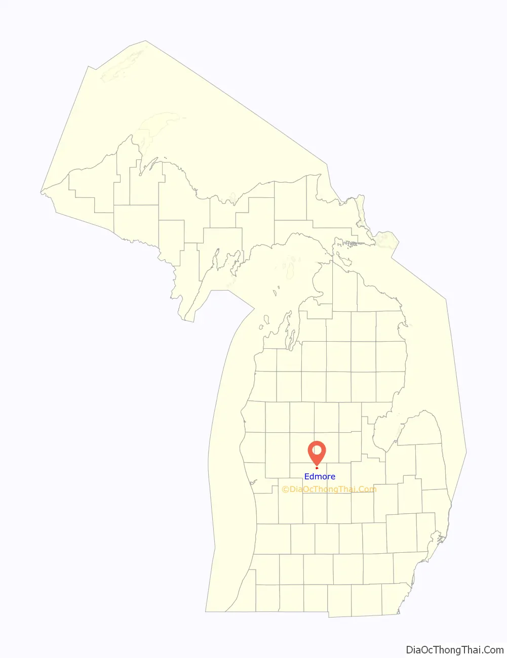
Edmore location map. Where is Edmore village?
History
Edmore was founded and platted by Edwin B. Moore, a real estate man, in 1878, and named with a contraction of his name. A post office was established on July 22, 1878, with Abraham West as the first postmaster. Its station on the Detroit, Lansing and Northern Railroad was called “Edmore Junction”. It was incorporated as a village in 1879 with Moore as its first president.
The Edmore post office, with ZIP code 48829, serves most of Home Township as well as portions of Belvidere Township to the west, Douglass Township to the southwest, Day Township to the south, Ferris Township to the southeast, and Rolland Township to the north in Isabella County.
Edmore is close to the site of the finds of the forged Scotford-Soper-Savage relics.
The Edmore meteorite was discovered on a nearby farm in 2018. It reportedly fell to earth in the 1930s on another farm and had been used as a doorstop since then.
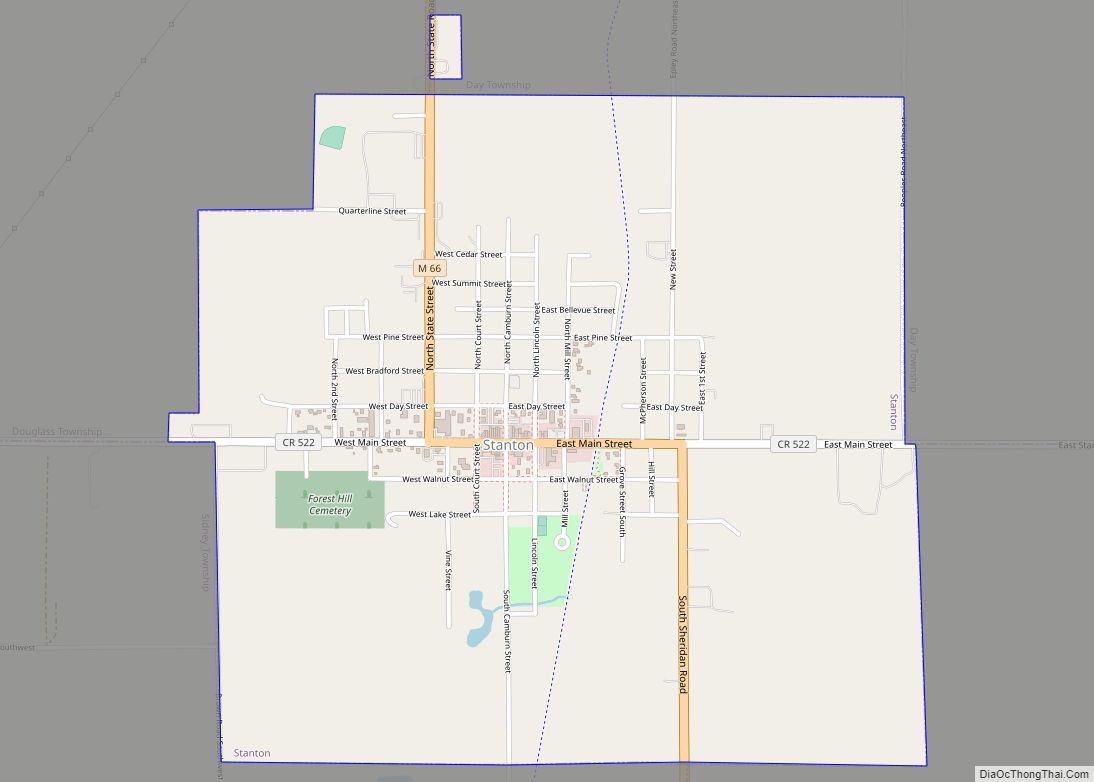
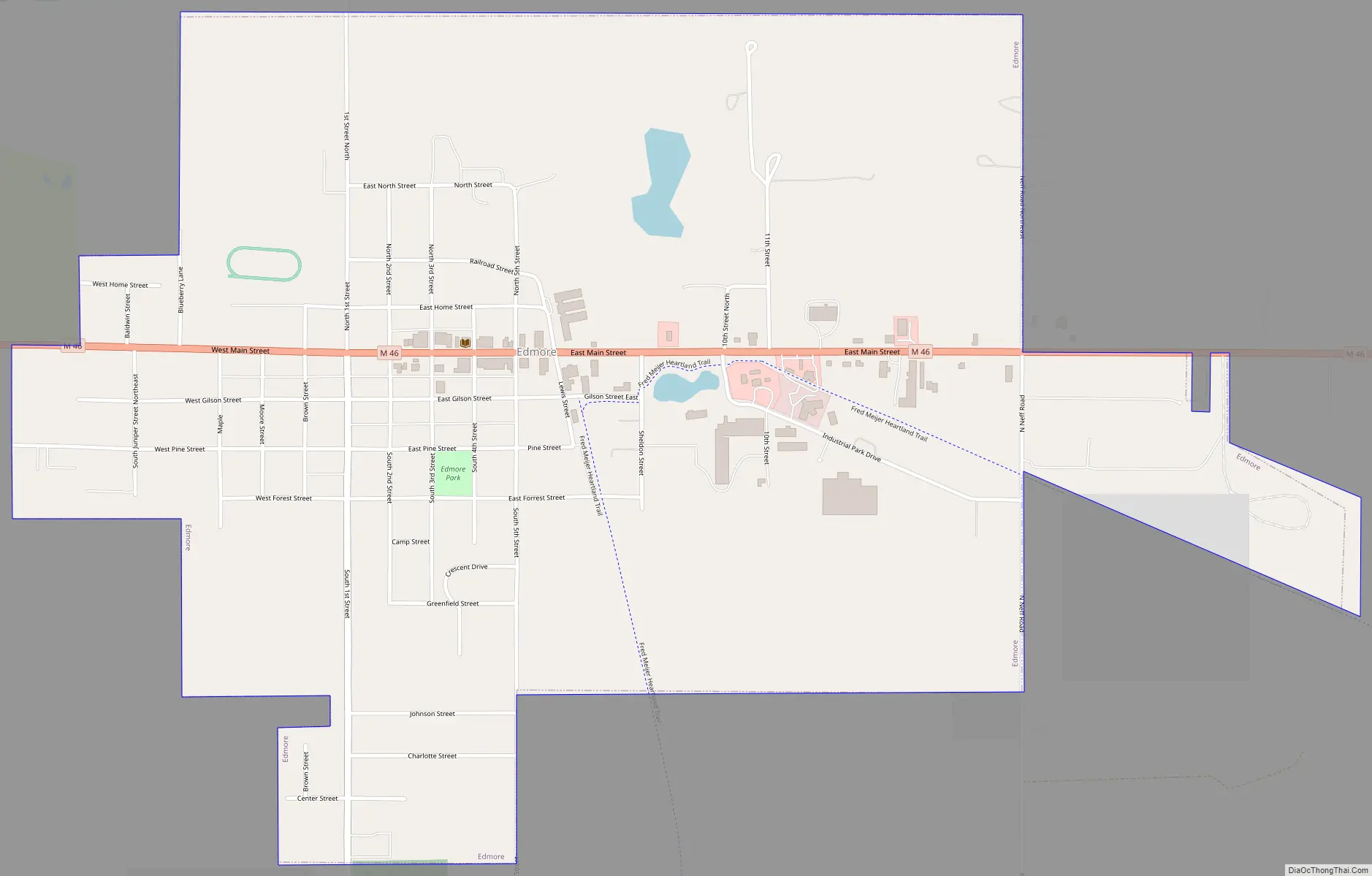
Edmore Road Map
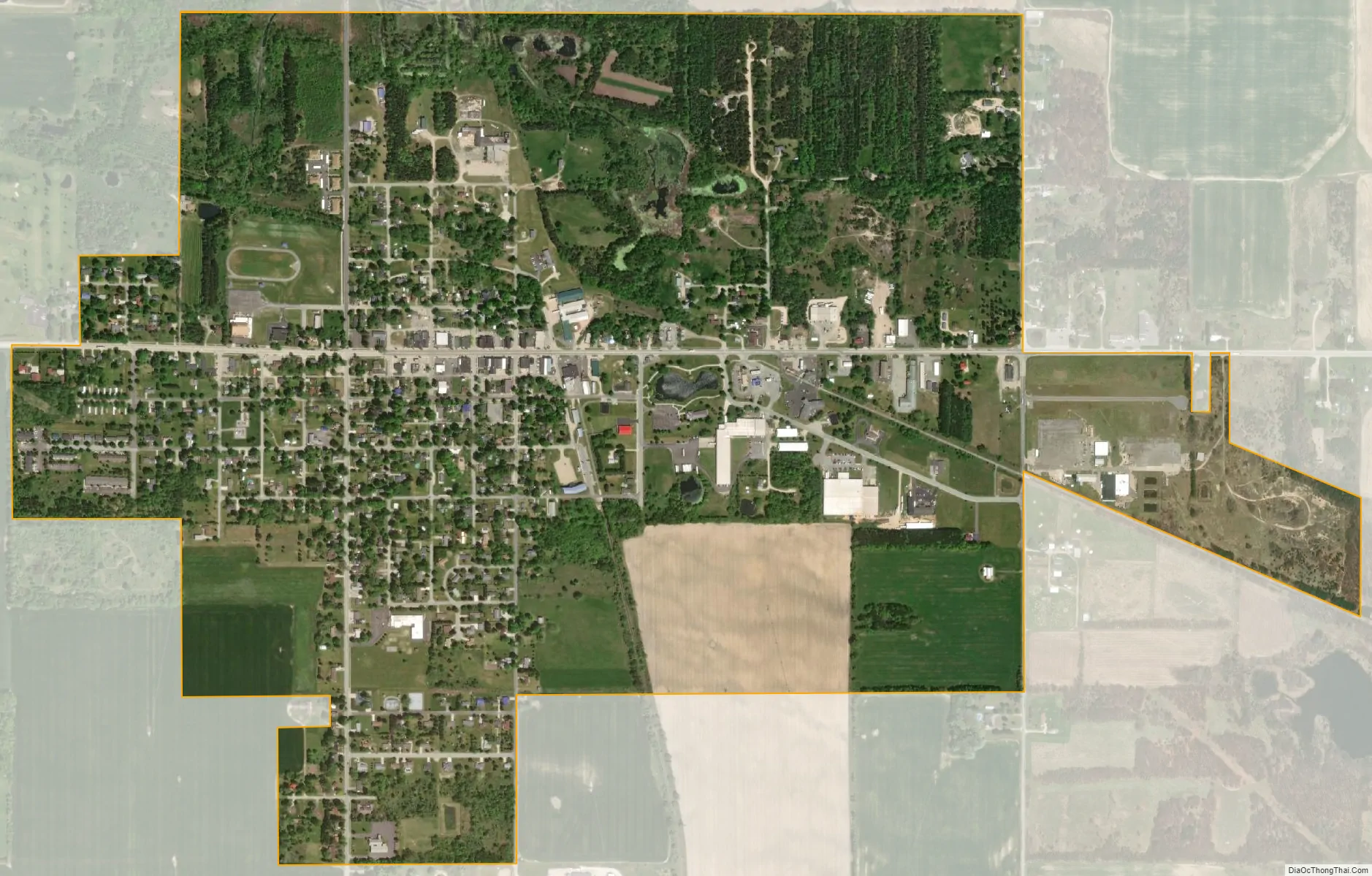
Edmore city Satellite Map
Geography
According to the United States Census Bureau, the village has a total area of 1.51 square miles (3.91 km), all land.
Highways
- M-46 is an east–west highway that nearly bisects the Lower Peninsula of Michigan latitudinally.
See also
Map of Michigan State and its subdivision:- Alcona
- Alger
- Allegan
- Alpena
- Antrim
- Arenac
- Baraga
- Barry
- Bay
- Benzie
- Berrien
- Branch
- Calhoun
- Cass
- Charlevoix
- Cheboygan
- Chippewa
- Clare
- Clinton
- Crawford
- Delta
- Dickinson
- Eaton
- Emmet
- Genesee
- Gladwin
- Gogebic
- Grand Traverse
- Gratiot
- Hillsdale
- Houghton
- Huron
- Ingham
- Ionia
- Iosco
- Iron
- Isabella
- Jackson
- Kalamazoo
- Kalkaska
- Kent
- Keweenaw
- Lake
- Lake Hurron
- Lake Michigan
- Lake St. Clair
- Lake Superior
- Lapeer
- Leelanau
- Lenawee
- Livingston
- Luce
- Mackinac
- Macomb
- Manistee
- Marquette
- Mason
- Mecosta
- Menominee
- Midland
- Missaukee
- Monroe
- Montcalm
- Montmorency
- Muskegon
- Newaygo
- Oakland
- Oceana
- Ogemaw
- Ontonagon
- Osceola
- Oscoda
- Otsego
- Ottawa
- Presque Isle
- Roscommon
- Saginaw
- Saint Clair
- Saint Joseph
- Sanilac
- Schoolcraft
- Shiawassee
- Tuscola
- Van Buren
- Washtenaw
- Wayne
- Wexford
- Alabama
- Alaska
- Arizona
- Arkansas
- California
- Colorado
- Connecticut
- Delaware
- District of Columbia
- Florida
- Georgia
- Hawaii
- Idaho
- Illinois
- Indiana
- Iowa
- Kansas
- Kentucky
- Louisiana
- Maine
- Maryland
- Massachusetts
- Michigan
- Minnesota
- Mississippi
- Missouri
- Montana
- Nebraska
- Nevada
- New Hampshire
- New Jersey
- New Mexico
- New York
- North Carolina
- North Dakota
- Ohio
- Oklahoma
- Oregon
- Pennsylvania
- Rhode Island
- South Carolina
- South Dakota
- Tennessee
- Texas
- Utah
- Vermont
- Virginia
- Washington
- West Virginia
- Wisconsin
- Wyoming