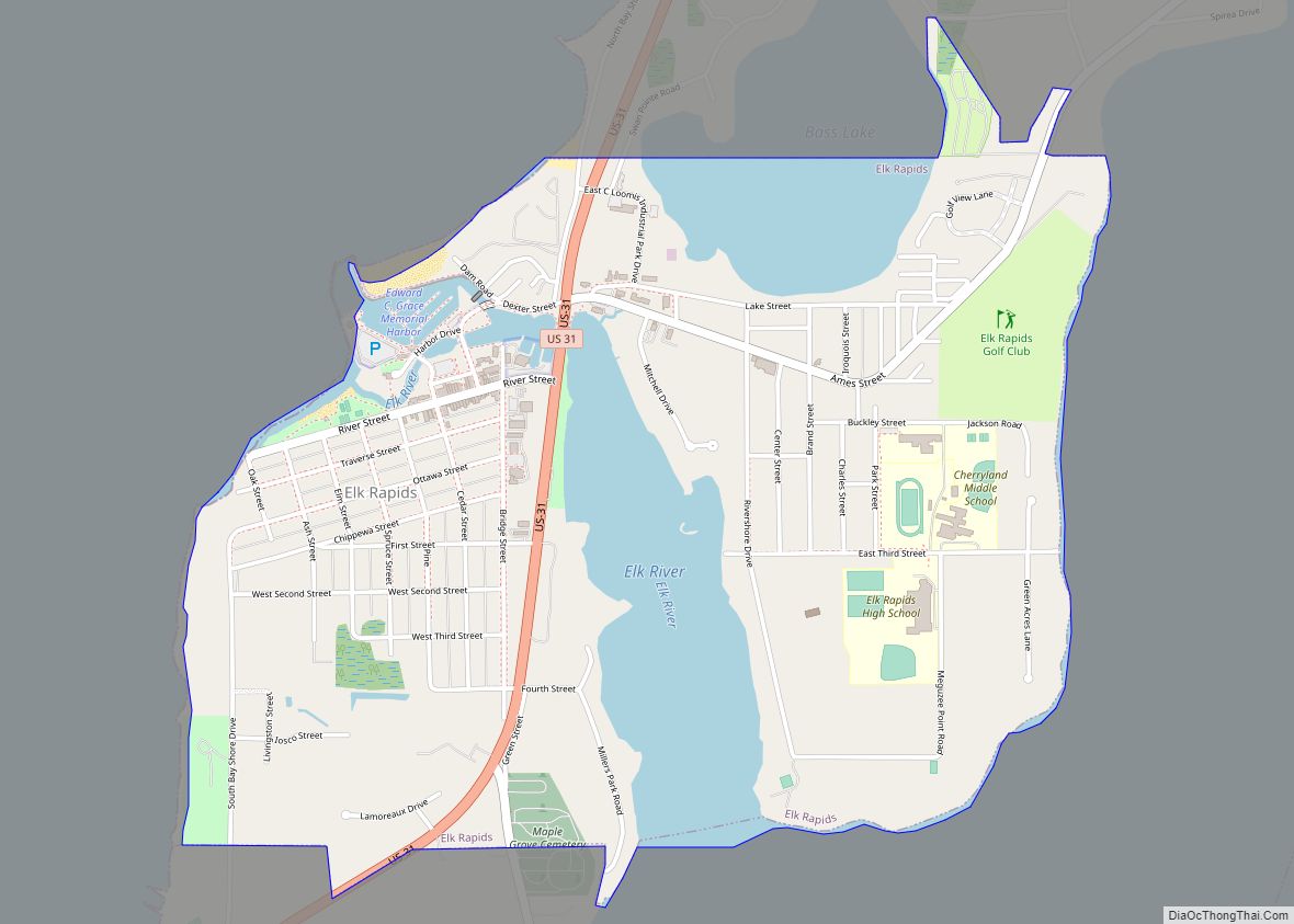
Elk Rapids is a village in the U.S. state of Michigan. The population was 1,529 at the 2020 census. Located in the southwest of Antrim County, Elk Rapids lies on an isthmus between Elk Lake and Grand Traverse Bay, a bay of Lake Michigan. The Elk River bisects the village, flowing west. The village is located within Elk Rapids Township, about 15 miles (24 km) northeast of Traverse City.
| Name: | Elk Rapids village |
|---|---|
| LSAD Code: | 47 |
| LSAD Description: | village (suffix) |
| State: | Michigan |
| County: | Antrim County |
| Incorporated: | 1900 |
| Elevation: | 597 ft (182 m) |
| Total Area: | 2.01 sq mi (5.20 km²) |
| Land Area: | 1.65 sq mi (4.27 km²) |
| Water Area: | 0.36 sq mi (0.93 km²) |
| Total Population: | 1,529 |
| Population Density: | 926.67/sq mi (357.68/km²) |
| Area code: | 231 |
| FIPS code: | 2625320 |
| GNISfeature ID: | 0625459 |
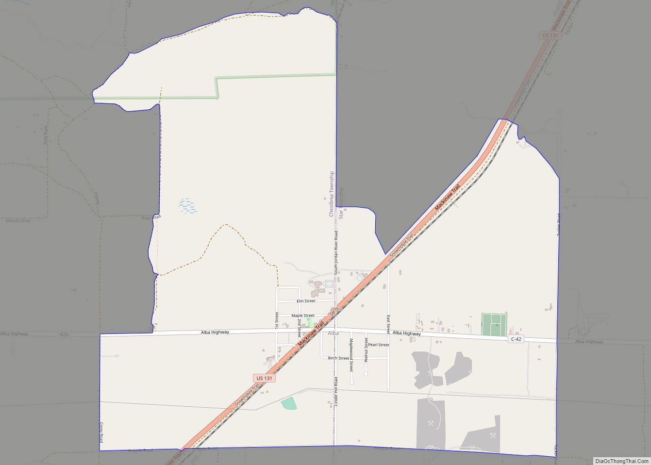
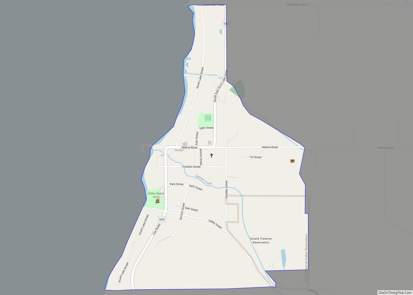
Online Interactive Map
Click on ![]() to view map in "full screen" mode.
to view map in "full screen" mode.
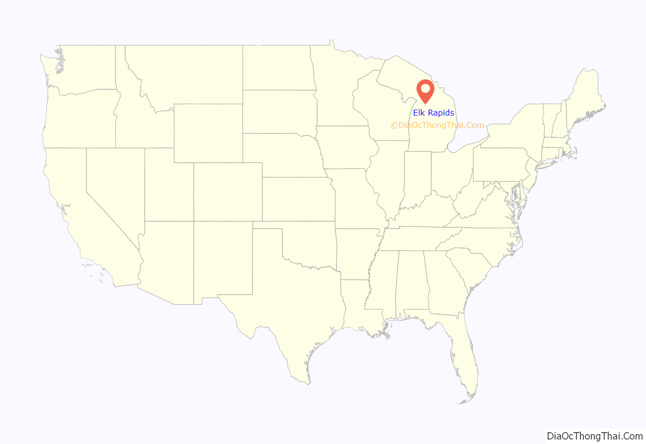
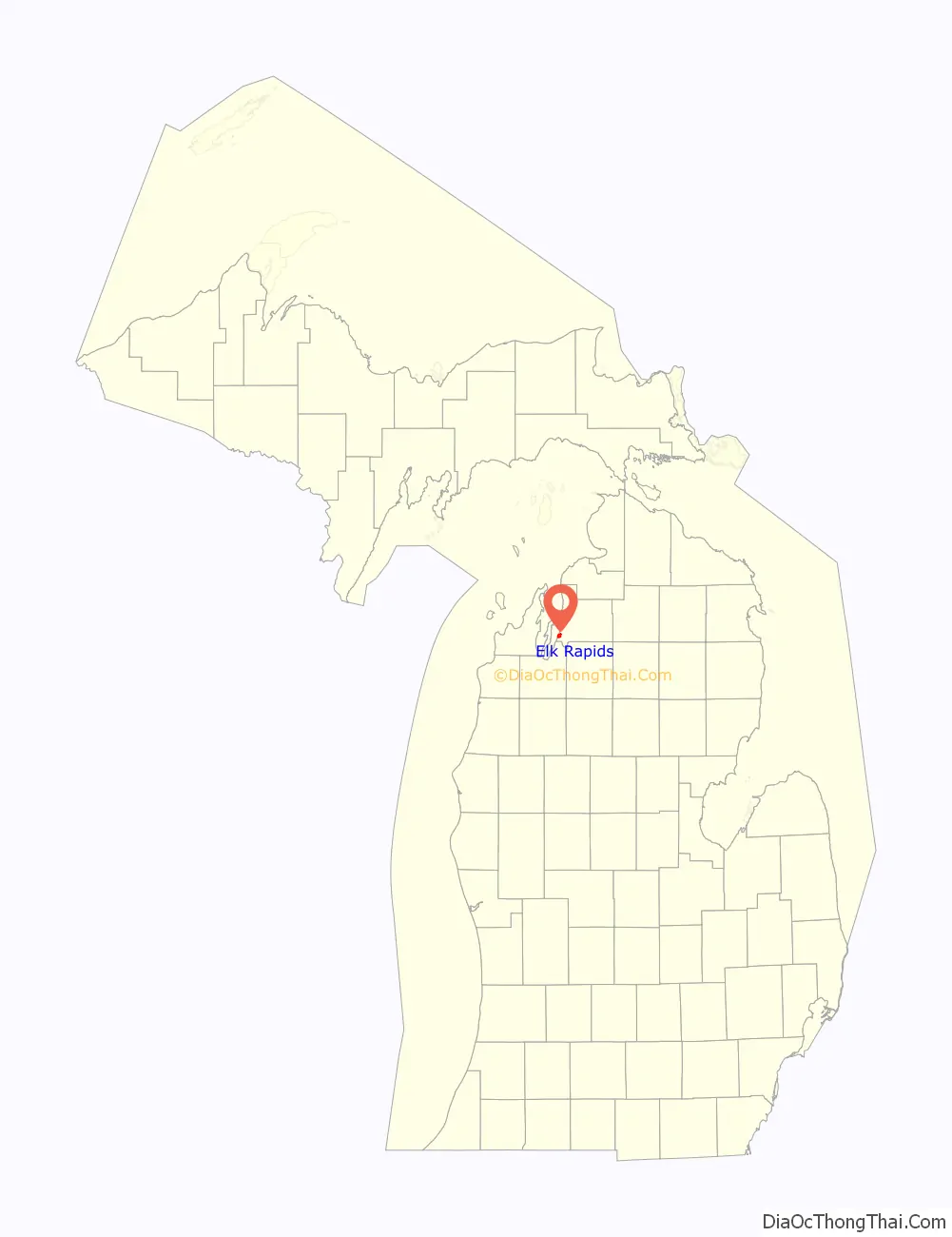
Elk Rapids location map. Where is Elk Rapids village?
History
The first settler in the Elk Rapids area was Abram S. Wadsworth, from Connecticut. Wadsworth platted the area in 1852, calling it Stevens. A post office opened in 1854. In 1858, Wadsworth renamed the area to Elk Rapids, after finding a pair of elk antlers near the mouth of the later-named Elk River. In 1863, Antrim County was organized, and Elk Rapids was made the county seat. However, the seat was moved to the more centrally-located Bellaire in 1879. In 1892, Elk Rapids became a station on a spur of the Chicago and West Michigan Railway. The town was incorporated as a village in 1900.
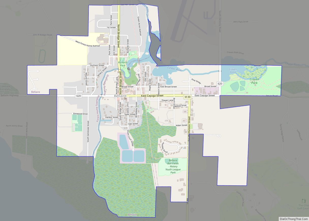
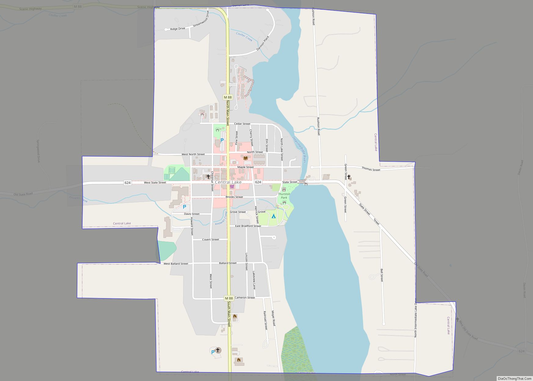
Elk Rapids Road Map
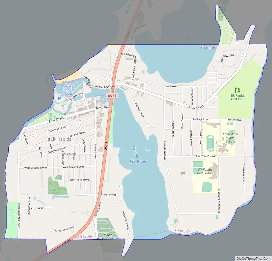
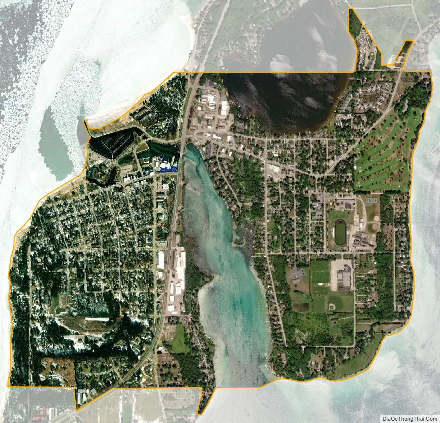
Elk Rapids city Satellite Map
Geography
According to the United States Census Bureau, the village has a total area of 2.01 square miles (5.21 km), of which, 1.65 square miles (4.27 km) of it is land and 0.36 square miles (0.93 km) is water.
See also
Map of Michigan State and its subdivision:- Alcona
- Alger
- Allegan
- Alpena
- Antrim
- Arenac
- Baraga
- Barry
- Bay
- Benzie
- Berrien
- Branch
- Calhoun
- Cass
- Charlevoix
- Cheboygan
- Chippewa
- Clare
- Clinton
- Crawford
- Delta
- Dickinson
- Eaton
- Emmet
- Genesee
- Gladwin
- Gogebic
- Grand Traverse
- Gratiot
- Hillsdale
- Houghton
- Huron
- Ingham
- Ionia
- Iosco
- Iron
- Isabella
- Jackson
- Kalamazoo
- Kalkaska
- Kent
- Keweenaw
- Lake
- Lake Hurron
- Lake Michigan
- Lake St. Clair
- Lake Superior
- Lapeer
- Leelanau
- Lenawee
- Livingston
- Luce
- Mackinac
- Macomb
- Manistee
- Marquette
- Mason
- Mecosta
- Menominee
- Midland
- Missaukee
- Monroe
- Montcalm
- Montmorency
- Muskegon
- Newaygo
- Oakland
- Oceana
- Ogemaw
- Ontonagon
- Osceola
- Oscoda
- Otsego
- Ottawa
- Presque Isle
- Roscommon
- Saginaw
- Saint Clair
- Saint Joseph
- Sanilac
- Schoolcraft
- Shiawassee
- Tuscola
- Van Buren
- Washtenaw
- Wayne
- Wexford
- Alabama
- Alaska
- Arizona
- Arkansas
- California
- Colorado
- Connecticut
- Delaware
- District of Columbia
- Florida
- Georgia
- Hawaii
- Idaho
- Illinois
- Indiana
- Iowa
- Kansas
- Kentucky
- Louisiana
- Maine
- Maryland
- Massachusetts
- Michigan
- Minnesota
- Mississippi
- Missouri
- Montana
- Nebraska
- Nevada
- New Hampshire
- New Jersey
- New Mexico
- New York
- North Carolina
- North Dakota
- Ohio
- Oklahoma
- Oregon
- Pennsylvania
- Rhode Island
- South Carolina
- South Dakota
- Tennessee
- Texas
- Utah
- Vermont
- Virginia
- Washington
- West Virginia
- Wisconsin
- Wyoming