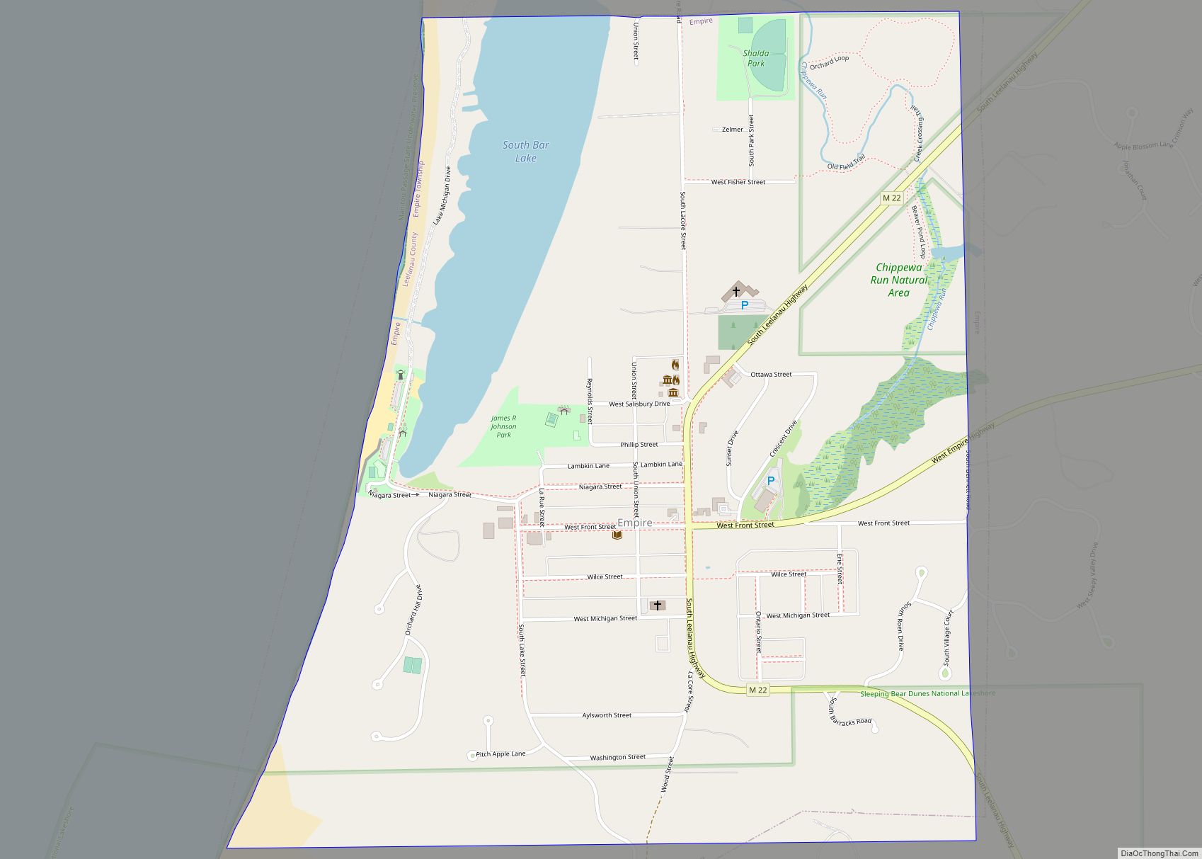
Empire is a village on Lake Michigan in the northwestern Lower Peninsula of Michigan. Located in southwestern Leelanau County, its population was 362 at the 2020 census. The village is located within Empire Township, and is famous for its proximity to the Sleeping Bear Dunes National Lakeshore. Empire is home to the lakeshore’s headquarters, the Philip A. Hart Visitor Center.
| Name: | Empire village |
|---|---|
| LSAD Code: | 47 |
| LSAD Description: | village (suffix) |
| State: | Michigan |
| County: | Leelanau County |
| Elevation: | 610 ft (186 m) |
| Total Area: | 1.12 sq mi (2.90 km²) |
| Land Area: | 1.03 sq mi (2.66 km²) |
| Water Area: | 0.09 sq mi (0.24 km²) |
| Total Population: | 362 |
| Population Density: | 351.80/sq mi (135.89/km²) |
| Area code: | 231 |
| FIPS code: | 2625980 |
| GNISfeature ID: | 0625588 |
| Website: | www.leelanau.cc/empirevillage.asp |
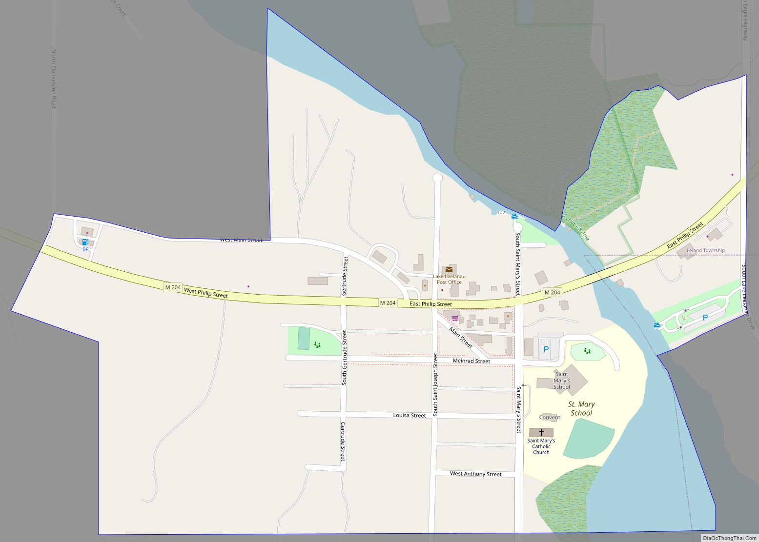
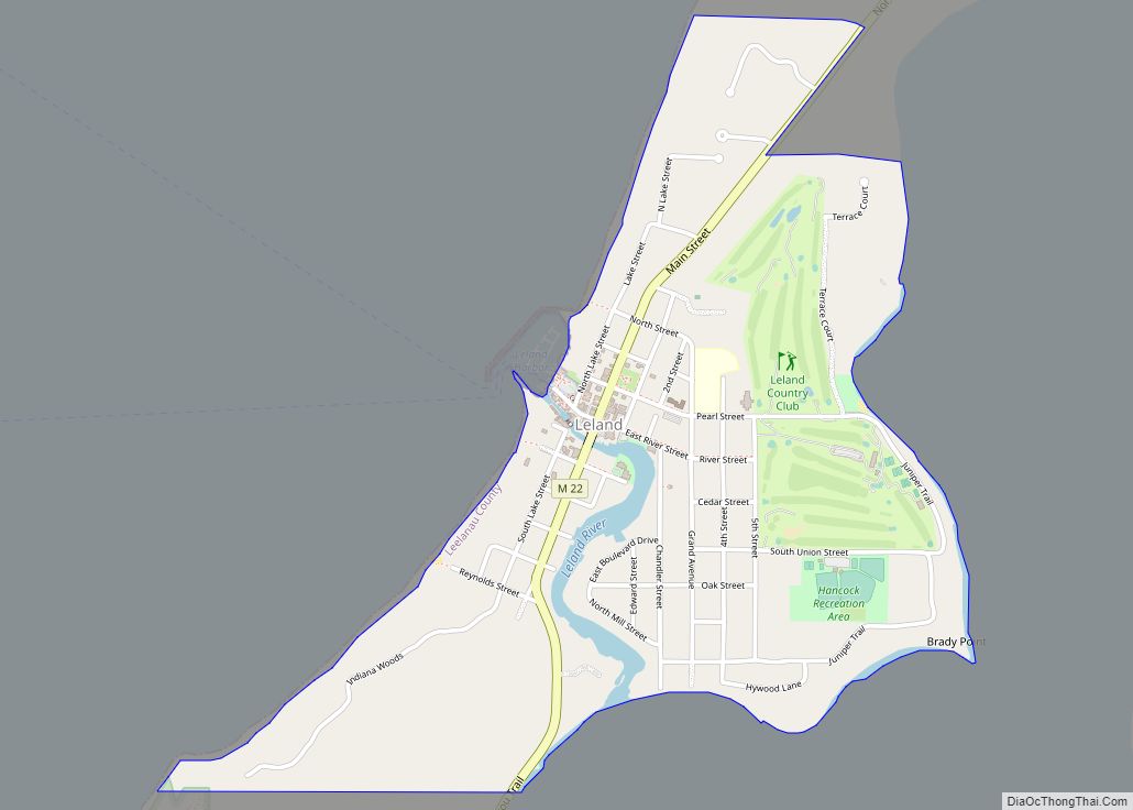
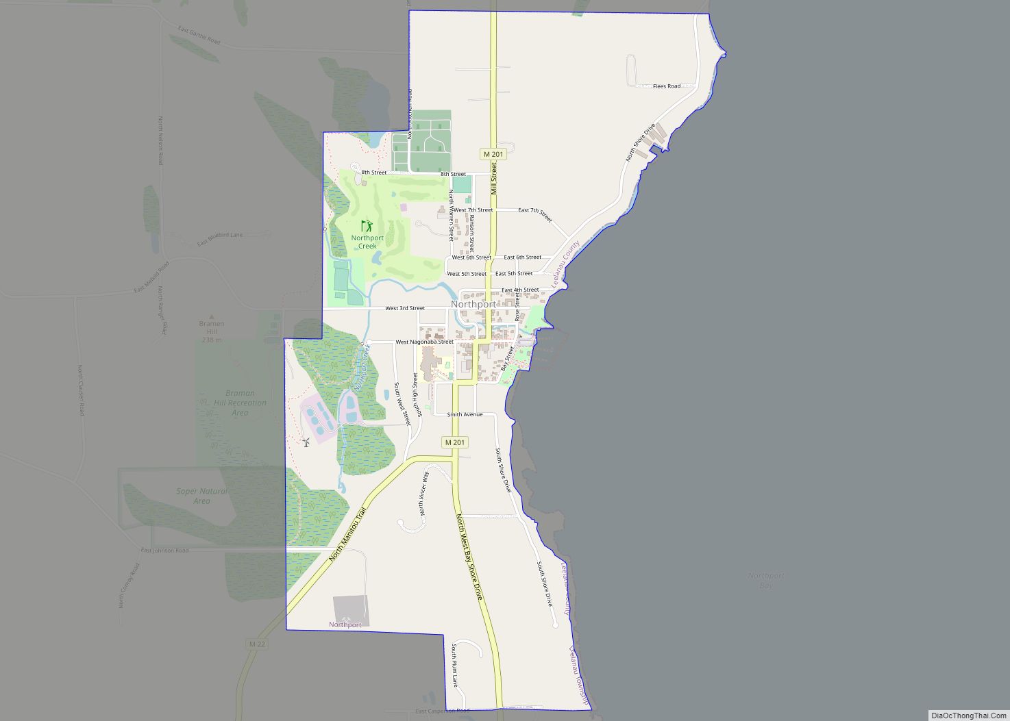
Online Interactive Map
Click on ![]() to view map in "full screen" mode.
to view map in "full screen" mode.
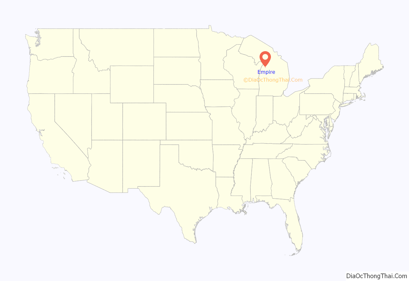
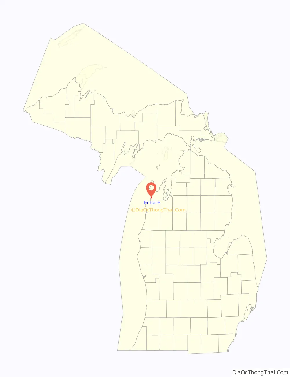
Empire location map. Where is Empire village?
History
Empire was founded in 1851. It was incorporated as a village in 1895 with E. R. Dailey, the head of the Empire Lumber Company which was the main employer here, as the first president of the village. The city was named after the schooner “Empire”, which was icebound in the city during a storm in 1865.
The Empire Lumber Company operated from 1887 to 1917, dominating this once booming lumber town. George Aylsworth operated the first mill between 1873 and 1883. Potter and Struthers built a second mill in 1885, which T. Wilce Company purchased in 1887. Called the Empire Lumber Company, it expanded to one of the largest and best equipped hardwood mills in the area, capable of producing up to 20 million feet of lumber a year. Docks, several businesses, and a railroad sprang up in Empire. Destroyed by fire in 1906, the mill was quickly rebuilt. The mill burned again in 1917. With most of the nearby virgin timber gone, the mill was not replaced.
The local Robert H. Manning Memorial Light was built in 1991 by O’Brien Brothers Construction as a memorial to Robert H. Manning, a lifelong resident of Empire and avid fisherman. Additionally, the beach has an antique anchor which was discovered by Douglas Manning, son of Robert H. Manning, and Michelle Stryker in 1977. Every year, the village of Empire celebrates the raising of the anchor on the third Saturday in July.
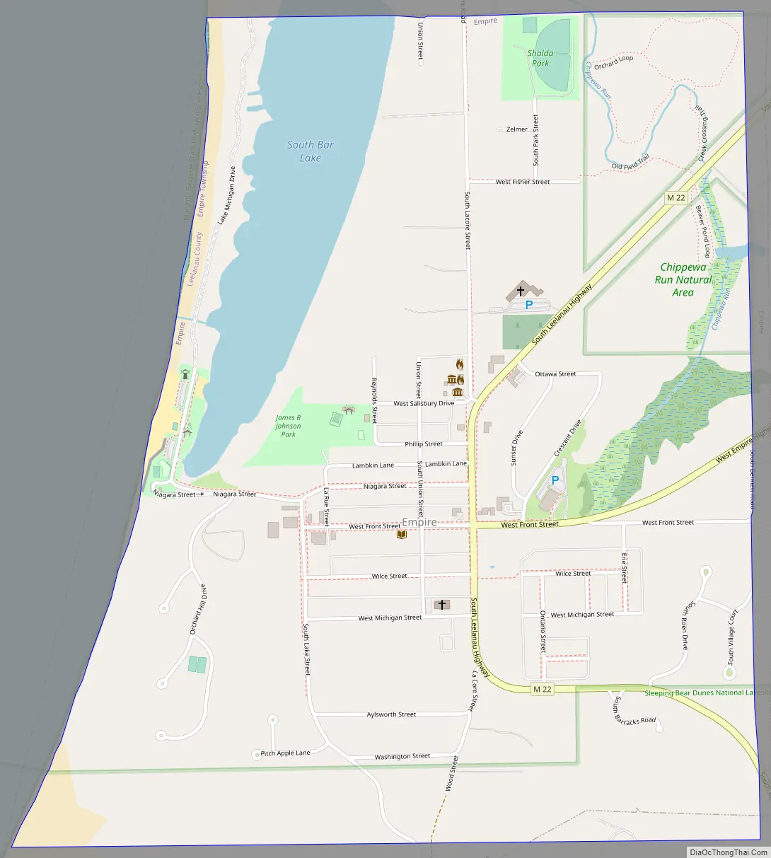
Empire Road Map
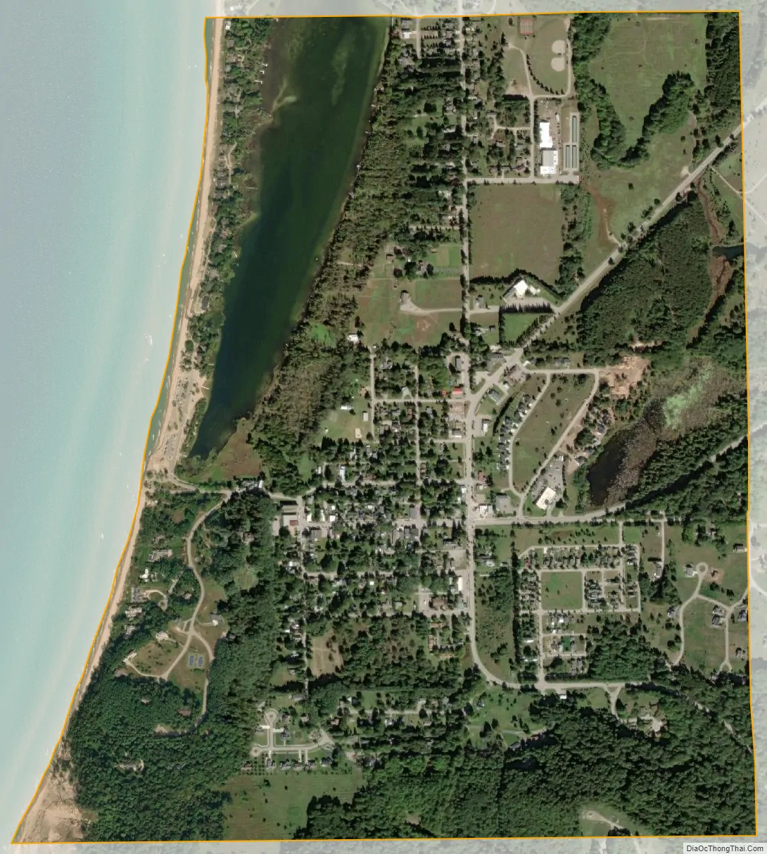
Empire city Satellite Map
Geography
Situated approximately 22 miles (35 km) due west of Traverse City, Empire is located in the center of the Sleeping Bear Dunes National Lakeshore. The Empire Bluffs lie to the south and the sand dunes of the National Lakeshore lie to the north, the area has views of the dunes, North Manitou and South Manitou islands, and Lake Michigan. Most Sleeping Bear Dunes panoramas portrayed on postcards are taken from a walking trail which runs to the top of the Empire Bluffs. A wide beach separates Lake Michigan from its close neighbor, South Bar Lake. The much smaller South Bar Lake stays considerably warmer than the big lake during the summer months.
The small village of Empire is located up a short hill, just a few minutes walk from the beach.
See also
Map of Michigan State and its subdivision:- Alcona
- Alger
- Allegan
- Alpena
- Antrim
- Arenac
- Baraga
- Barry
- Bay
- Benzie
- Berrien
- Branch
- Calhoun
- Cass
- Charlevoix
- Cheboygan
- Chippewa
- Clare
- Clinton
- Crawford
- Delta
- Dickinson
- Eaton
- Emmet
- Genesee
- Gladwin
- Gogebic
- Grand Traverse
- Gratiot
- Hillsdale
- Houghton
- Huron
- Ingham
- Ionia
- Iosco
- Iron
- Isabella
- Jackson
- Kalamazoo
- Kalkaska
- Kent
- Keweenaw
- Lake
- Lake Hurron
- Lake Michigan
- Lake St. Clair
- Lake Superior
- Lapeer
- Leelanau
- Lenawee
- Livingston
- Luce
- Mackinac
- Macomb
- Manistee
- Marquette
- Mason
- Mecosta
- Menominee
- Midland
- Missaukee
- Monroe
- Montcalm
- Montmorency
- Muskegon
- Newaygo
- Oakland
- Oceana
- Ogemaw
- Ontonagon
- Osceola
- Oscoda
- Otsego
- Ottawa
- Presque Isle
- Roscommon
- Saginaw
- Saint Clair
- Saint Joseph
- Sanilac
- Schoolcraft
- Shiawassee
- Tuscola
- Van Buren
- Washtenaw
- Wayne
- Wexford
- Alabama
- Alaska
- Arizona
- Arkansas
- California
- Colorado
- Connecticut
- Delaware
- District of Columbia
- Florida
- Georgia
- Hawaii
- Idaho
- Illinois
- Indiana
- Iowa
- Kansas
- Kentucky
- Louisiana
- Maine
- Maryland
- Massachusetts
- Michigan
- Minnesota
- Mississippi
- Missouri
- Montana
- Nebraska
- Nevada
- New Hampshire
- New Jersey
- New Mexico
- New York
- North Carolina
- North Dakota
- Ohio
- Oklahoma
- Oregon
- Pennsylvania
- Rhode Island
- South Carolina
- South Dakota
- Tennessee
- Texas
- Utah
- Vermont
- Virginia
- Washington
- West Virginia
- Wisconsin
- Wyoming