Northport is a village in Leelanau County in the U.S. state of Michigan. Located near the northern tip of the Leelanau Peninsula, Northport is located within Leelanau Township, and lies on the shore of Grand Traverse Bay, a bay of Lake Michigan. Northport had a population of 496 at the 2020 census. The village is located about 29 miles (47 km) north of Traverse City, and is part of that city’s micropolitan area. From 1863 to 1883, Northport served as the county seat of Leelanau County.
| Name: | Northport village |
|---|---|
| LSAD Code: | 47 |
| LSAD Description: | village (suffix) |
| State: | Michigan |
| County: | Leelanau County |
| Elevation: | 607 ft (185 m) |
| Total Area: | 1.65 sq mi (4.28 km²) |
| Land Area: | 1.65 sq mi (4.27 km²) |
| Water Area: | 0.00 sq mi (0.01 km²) |
| Total Population: | 496 |
| Population Density: | 300.97/sq mi (116.24/km²) |
| Area code: | 231 |
| FIPS code: | 2658740 |
| GNISfeature ID: | 0633697 |
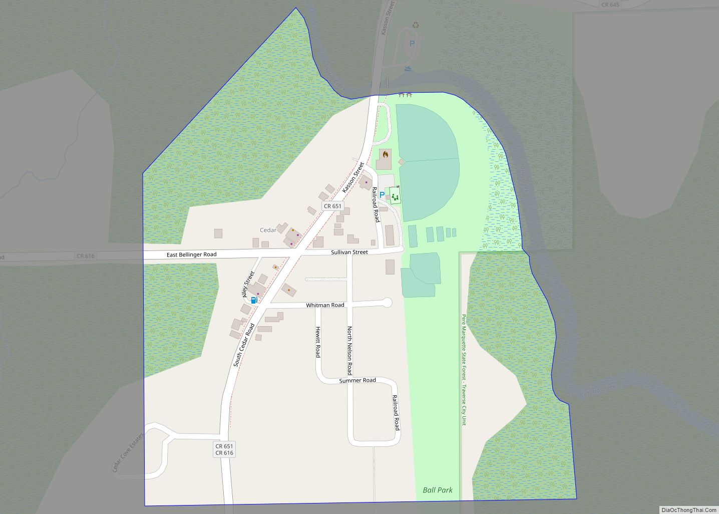
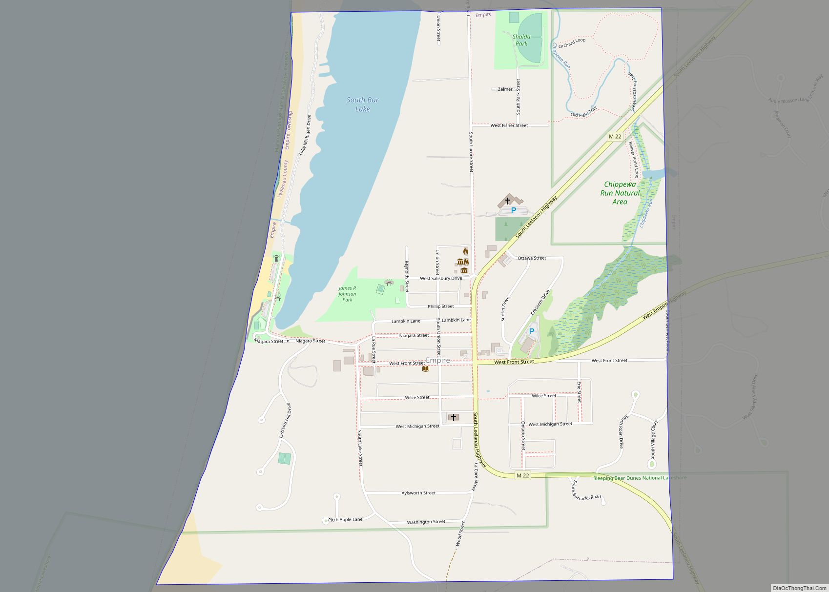
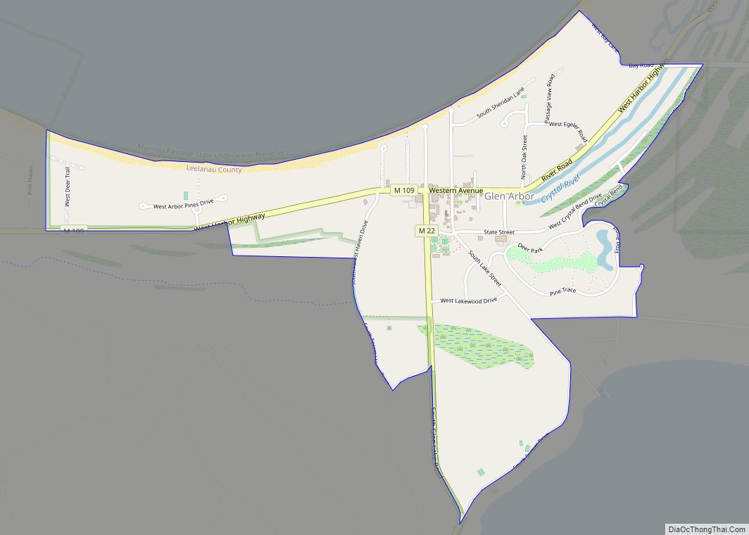
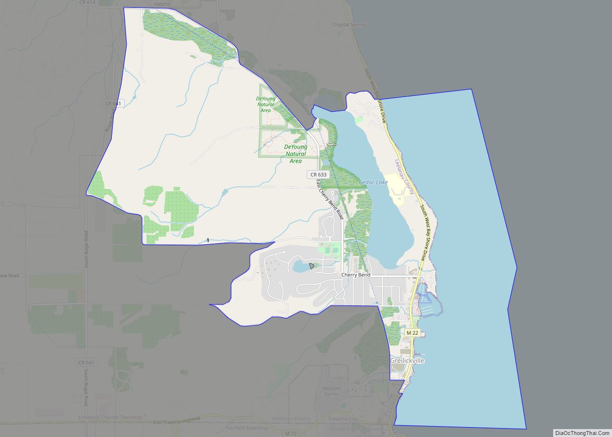
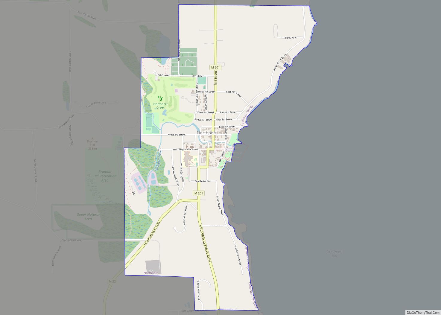
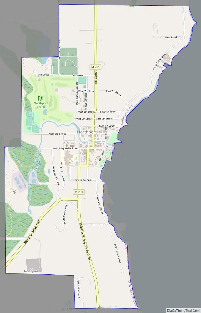
Online Interactive Map
Click on ![]() to view map in "full screen" mode.
to view map in "full screen" mode.
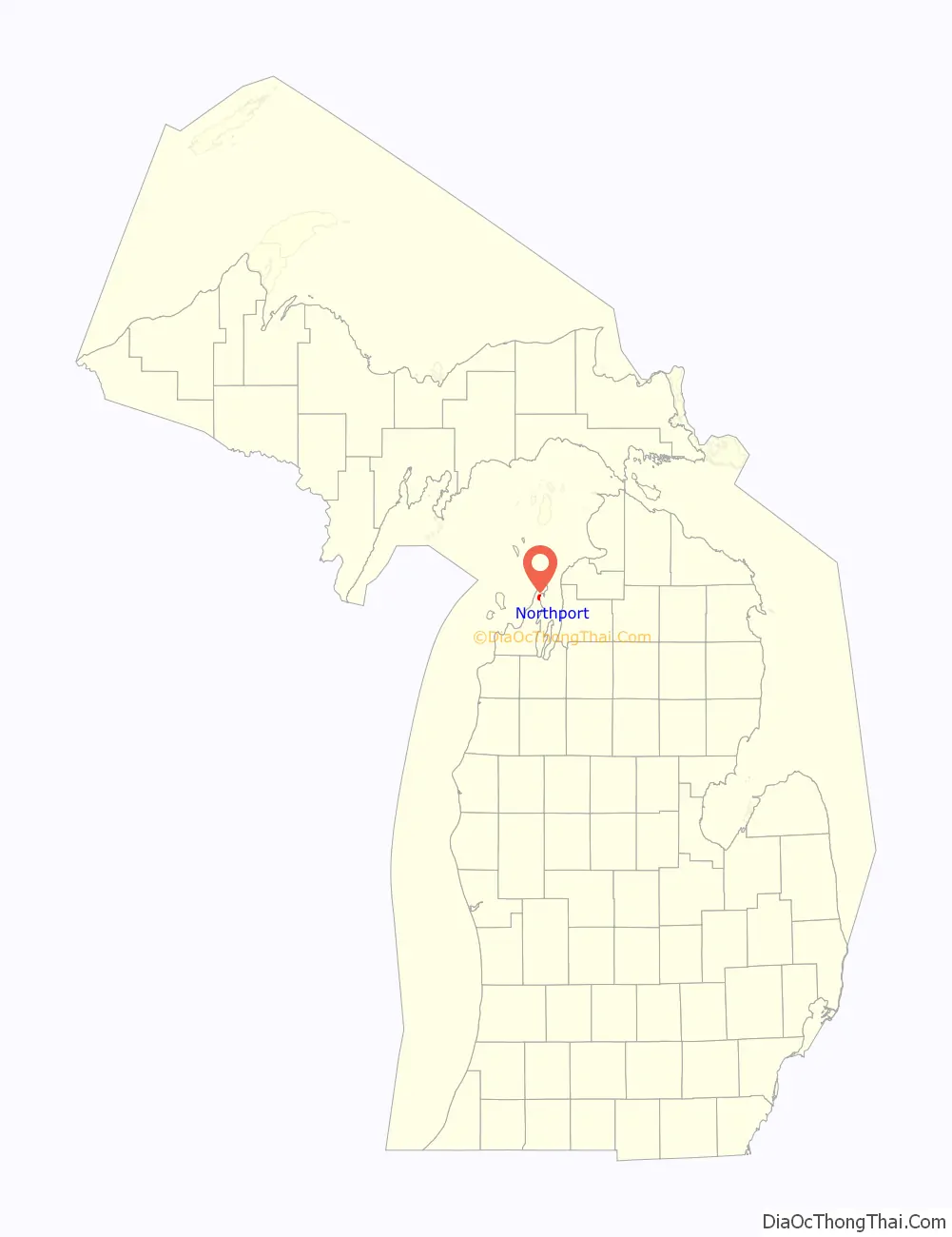
Northport location map. Where is Northport village?

History
In 1848 Michigan suffered from a smallpox epidemic that affected the entire community of people. Chief Peter Waukazoo and Reverend George Smith moved the community as well as the Holland-area Ottawa Mission up to the Leelanau Peninsula on boats or canoes. When the settlers had reached their destination they called it Waukazooville. Deacon Joseph Dame arrived at Waukazooville in 1854 and decided to change the name to Northport at this time.
Northport was the largest town in Leelanau County for quite a while in the late 1800s and early 1900s. Several general stores were built in the town in 1859 which sold items such as cloth, thread, needles, foods, axes, and more. There was no doctor in town at this time so Reverend Smith was called on to deliver babies and help the ill.
Many people that ended up living in Northport came from New York or Canada. The fishermen, farmers, and other community members would gather on the bay and cut chunks of ice for fisheries, hotels, or even private homes.
The cherry industry that is prevalent in Northport today had just begun in 1853 on Reverend Smith’s farm. Farmers began producing cherries so much within those first few years that cherries were being shipped to nearby cities for their markets. The cherry industry in Northport and Leelanau County remains one of the largest in the world.
Northport Road Map
Northport city Satellite Map

Geography
According to the United States Census Bureau, the village has a total area of 1.65 square miles (4.27 km), all land.
Major highways
- M-22 reaches the northernmost point along its route in Northport, with the highway’s two legs meeting at a junction south of the central business district. Southwest of Northport, M-22 travels along the Lake Michigan shore through the communities of Leland, Glen Arbor, Empire, Frankfort, Elberta, Arcadia, and Onekama, before terminating at US-31 north of Manistee. South of Northport, M-22 travels along the western shore of Grand Traverse Bay through the communities of Omena, Suttons Bay, and Greilickville, before terminating at an intersection in Traverse City.
- M-201 is a short north–south highway solely serving travelers through the village of Northport. North of the village, the highway transitions to Leelanau County Road 640, which can be used to access Leelanau State Park and the Grand Traverse Lighthouse.
See also
Map of Michigan State and its subdivision:- Alcona
- Alger
- Allegan
- Alpena
- Antrim
- Arenac
- Baraga
- Barry
- Bay
- Benzie
- Berrien
- Branch
- Calhoun
- Cass
- Charlevoix
- Cheboygan
- Chippewa
- Clare
- Clinton
- Crawford
- Delta
- Dickinson
- Eaton
- Emmet
- Genesee
- Gladwin
- Gogebic
- Grand Traverse
- Gratiot
- Hillsdale
- Houghton
- Huron
- Ingham
- Ionia
- Iosco
- Iron
- Isabella
- Jackson
- Kalamazoo
- Kalkaska
- Kent
- Keweenaw
- Lake
- Lake Hurron
- Lake Michigan
- Lake St. Clair
- Lake Superior
- Lapeer
- Leelanau
- Lenawee
- Livingston
- Luce
- Mackinac
- Macomb
- Manistee
- Marquette
- Mason
- Mecosta
- Menominee
- Midland
- Missaukee
- Monroe
- Montcalm
- Montmorency
- Muskegon
- Newaygo
- Oakland
- Oceana
- Ogemaw
- Ontonagon
- Osceola
- Oscoda
- Otsego
- Ottawa
- Presque Isle
- Roscommon
- Saginaw
- Saint Clair
- Saint Joseph
- Sanilac
- Schoolcraft
- Shiawassee
- Tuscola
- Van Buren
- Washtenaw
- Wayne
- Wexford
- Alabama
- Alaska
- Arizona
- Arkansas
- California
- Colorado
- Connecticut
- Delaware
- District of Columbia
- Florida
- Georgia
- Hawaii
- Idaho
- Illinois
- Indiana
- Iowa
- Kansas
- Kentucky
- Louisiana
- Maine
- Maryland
- Massachusetts
- Michigan
- Minnesota
- Mississippi
- Missouri
- Montana
- Nebraska
- Nevada
- New Hampshire
- New Jersey
- New Mexico
- New York
- North Carolina
- North Dakota
- Ohio
- Oklahoma
- Oregon
- Pennsylvania
- Rhode Island
- South Carolina
- South Dakota
- Tennessee
- Texas
- Utah
- Vermont
- Virginia
- Washington
- West Virginia
- Wisconsin
- Wyoming