Fair Plain (also “Fairplain” ) is an unincorporated community in Berrien County in the U.S. state of Michigan. It is a census-designated place (CDP) for statistical purposes and has no legal status as a municipality. The population was 7,631 at the 2010 census.
| Name: | Fair Plain CDP |
|---|---|
| LSAD Code: | 57 |
| LSAD Description: | CDP (suffix) |
| State: | Michigan |
| County: | Berrien County |
| Elevation: | 702 ft (214 m) |
| Total Area: | 4.54 sq mi (11.75 km²) |
| Land Area: | 4.30 sq mi (11.13 km²) |
| Water Area: | 0.24 sq mi (0.63 km²) |
| Total Population: | 7,402 |
| Population Density: | 1,722.60/sq mi (665.10/km²) |
| Area code: | 269 |
| FIPS code: | 2627160 |
| GNISfeature ID: | 625742 |
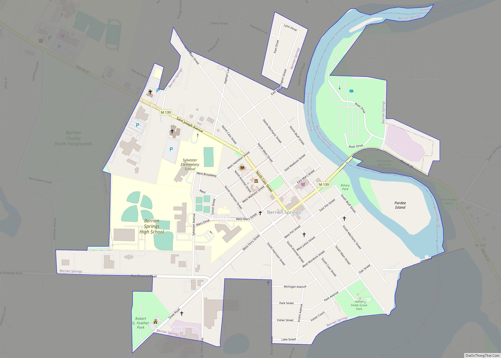
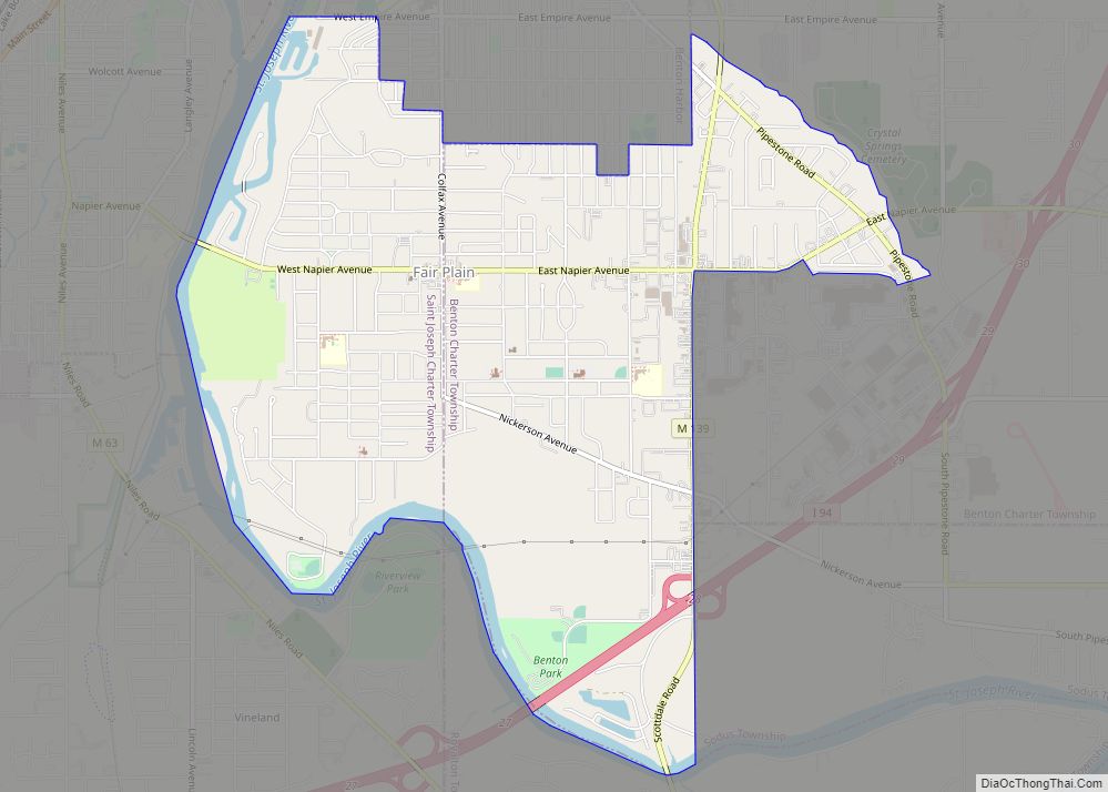
Online Interactive Map
Click on ![]() to view map in "full screen" mode.
to view map in "full screen" mode.
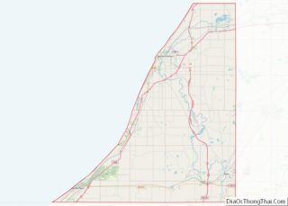
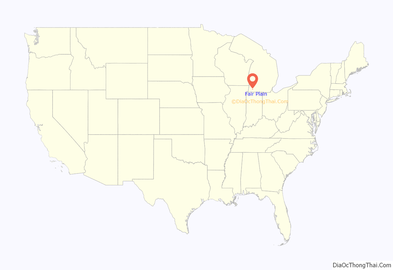
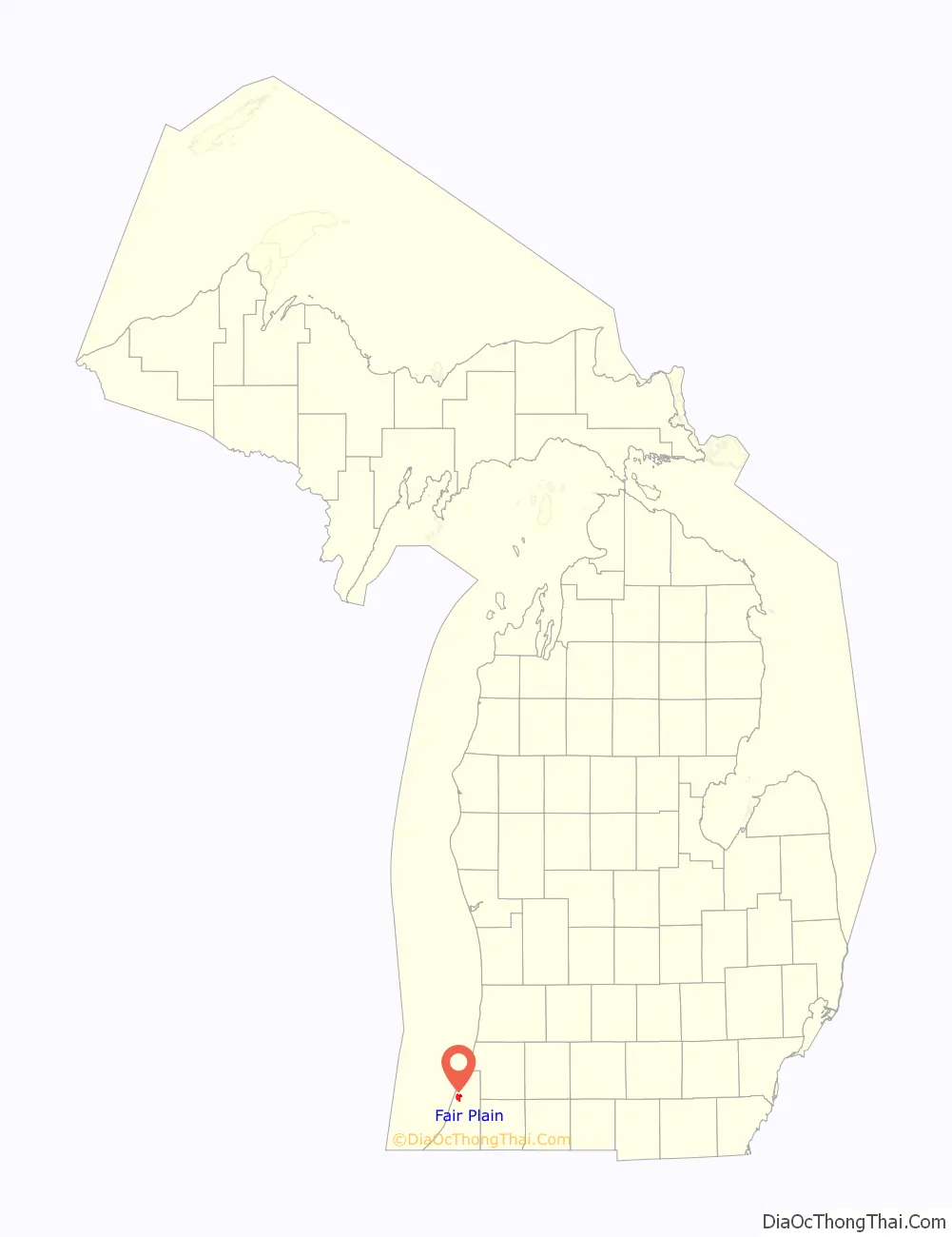
Fair Plain location map. Where is Fair Plain CDP?
History
The community was named for the scenic character of the original town site.
Fairplain Plaza, located on M-139 on the east edge of Fair Plain, was the first shopping center in the area, opening in 1958. The original Fairplain Plaza was largely demolished by the late 1990s, but was subsequently rebuilt and expanded using different architecture techniques.
There was a failed proposal to incorporate Fair Plain as a city in 1975.
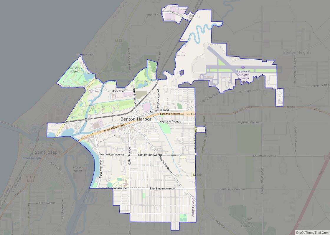
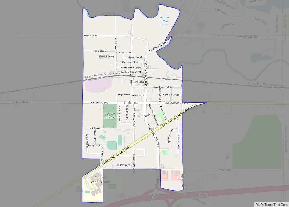
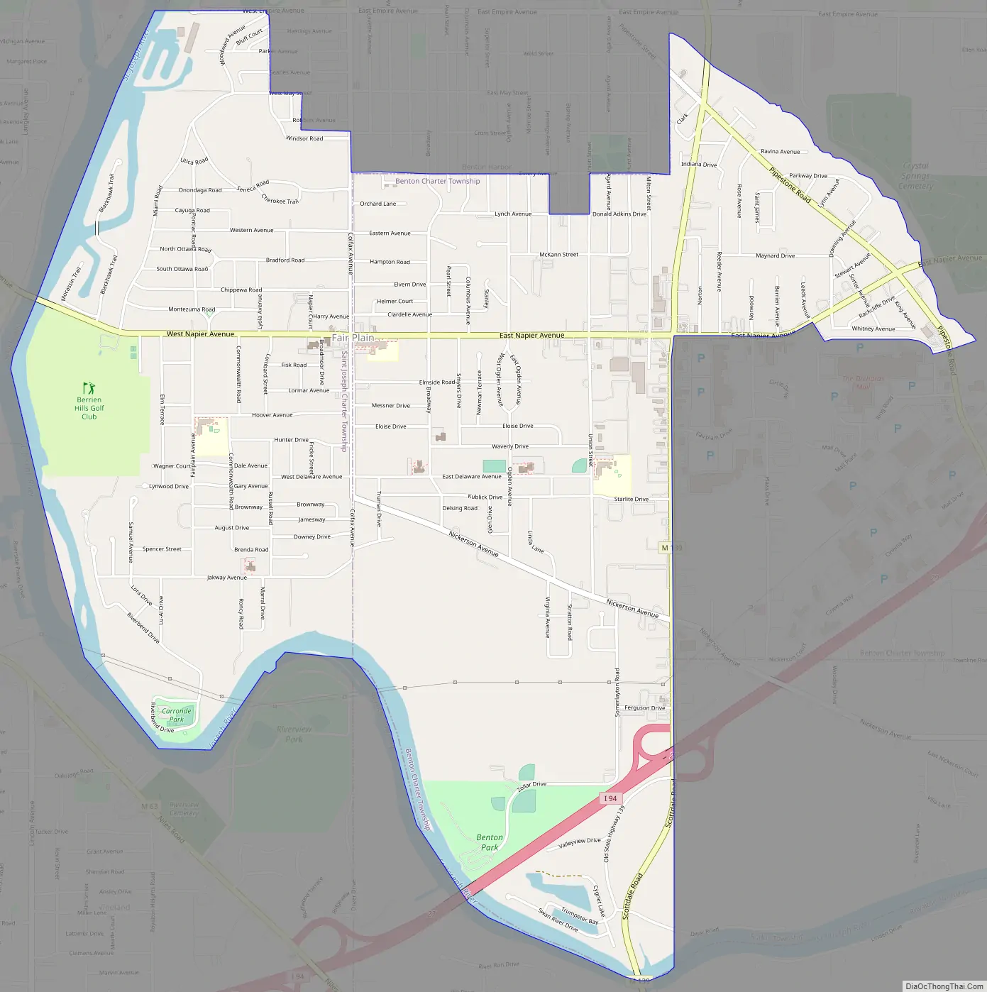
Fair Plain Road Map
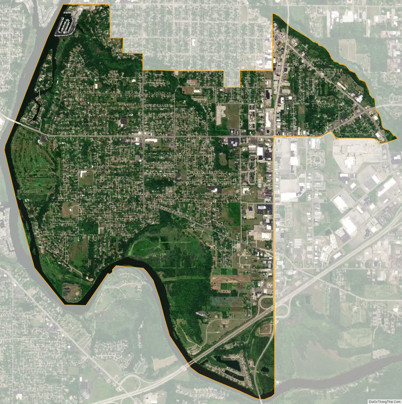
Fair Plain city Satellite Map
Geography
According to the United States Census Bureau, the CDP has a total area of 4.4 square miles (11.5 km), of which 4.2 square miles (10.9 km) is land and 0.23 square miles (0.6 km), or 5.22%, is water.
The Fair Plain CDP consists of the portion of St. Joseph Charter Township lying northeast of the St. Joseph River and a portion of Benton Charter Township. The CDP’s boundaries are the city of Benton Harbor to the north, the St. Joseph River to the west and south, and M-139 to the east.
See also
Map of Michigan State and its subdivision:- Alcona
- Alger
- Allegan
- Alpena
- Antrim
- Arenac
- Baraga
- Barry
- Bay
- Benzie
- Berrien
- Branch
- Calhoun
- Cass
- Charlevoix
- Cheboygan
- Chippewa
- Clare
- Clinton
- Crawford
- Delta
- Dickinson
- Eaton
- Emmet
- Genesee
- Gladwin
- Gogebic
- Grand Traverse
- Gratiot
- Hillsdale
- Houghton
- Huron
- Ingham
- Ionia
- Iosco
- Iron
- Isabella
- Jackson
- Kalamazoo
- Kalkaska
- Kent
- Keweenaw
- Lake
- Lake Hurron
- Lake Michigan
- Lake St. Clair
- Lake Superior
- Lapeer
- Leelanau
- Lenawee
- Livingston
- Luce
- Mackinac
- Macomb
- Manistee
- Marquette
- Mason
- Mecosta
- Menominee
- Midland
- Missaukee
- Monroe
- Montcalm
- Montmorency
- Muskegon
- Newaygo
- Oakland
- Oceana
- Ogemaw
- Ontonagon
- Osceola
- Oscoda
- Otsego
- Ottawa
- Presque Isle
- Roscommon
- Saginaw
- Saint Clair
- Saint Joseph
- Sanilac
- Schoolcraft
- Shiawassee
- Tuscola
- Van Buren
- Washtenaw
- Wayne
- Wexford
- Alabama
- Alaska
- Arizona
- Arkansas
- California
- Colorado
- Connecticut
- Delaware
- District of Columbia
- Florida
- Georgia
- Hawaii
- Idaho
- Illinois
- Indiana
- Iowa
- Kansas
- Kentucky
- Louisiana
- Maine
- Maryland
- Massachusetts
- Michigan
- Minnesota
- Mississippi
- Missouri
- Montana
- Nebraska
- Nevada
- New Hampshire
- New Jersey
- New Mexico
- New York
- North Carolina
- North Dakota
- Ohio
- Oklahoma
- Oregon
- Pennsylvania
- Rhode Island
- South Carolina
- South Dakota
- Tennessee
- Texas
- Utah
- Vermont
- Virginia
- Washington
- West Virginia
- Wisconsin
- Wyoming