Galien (pronounced guh-LEEN) is a village in Berrien County in the U.S. state of Michigan. The population was 549 at the 2010 census. The village is located within Galien Township. The village provides its own sewer utility.
| Name: | Galien village |
|---|---|
| LSAD Code: | 47 |
| LSAD Description: | village (suffix) |
| State: | Michigan |
| County: | Berrien County |
| Elevation: | 669 ft (204 m) |
| Total Area: | 0.41 sq mi (1.06 km²) |
| Land Area: | 0.41 sq mi (1.06 km²) |
| Water Area: | 0.00 sq mi (0.00 km²) |
| Total Population: | 513 |
| Population Density: | 1,248.18/sq mi (482.27/km²) |
| Area code: | 269 |
| FIPS code: | 2631300 |
| GNISfeature ID: | 1618901 |
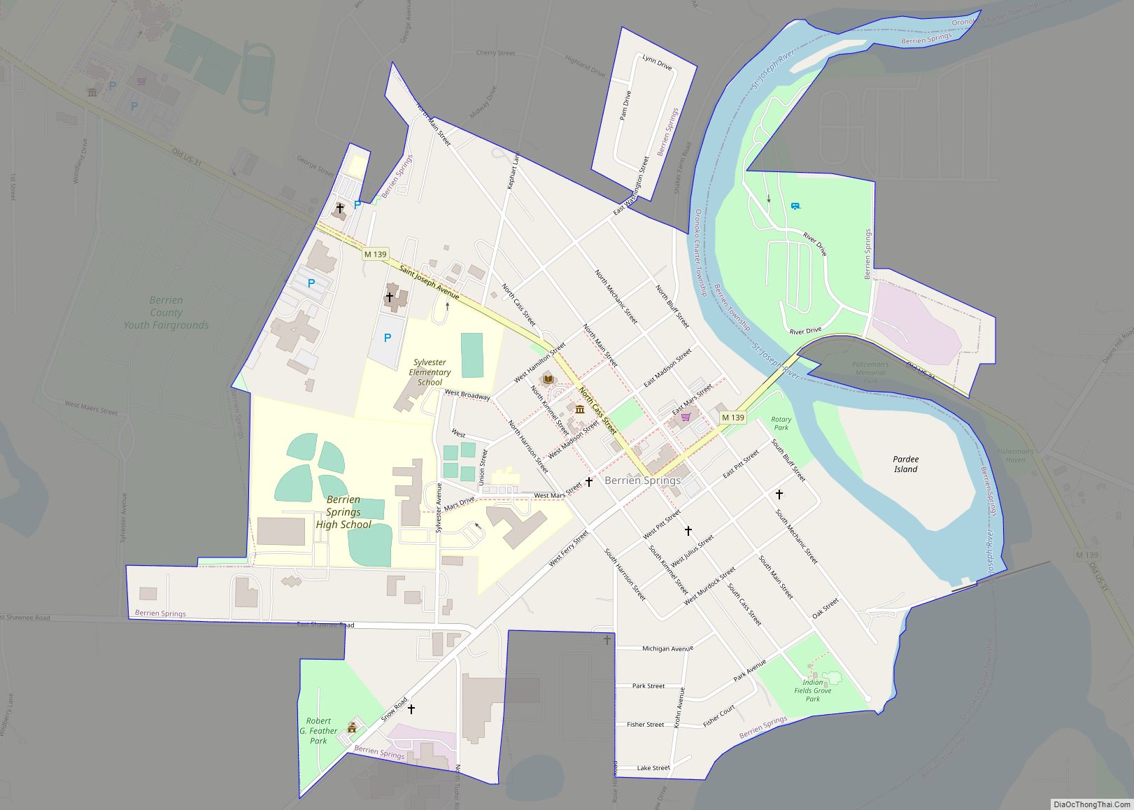
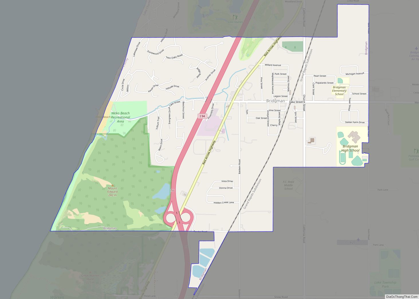
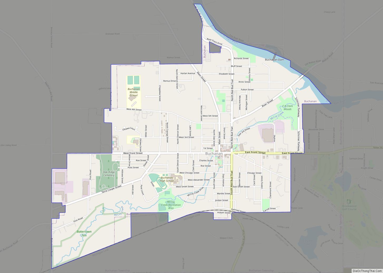
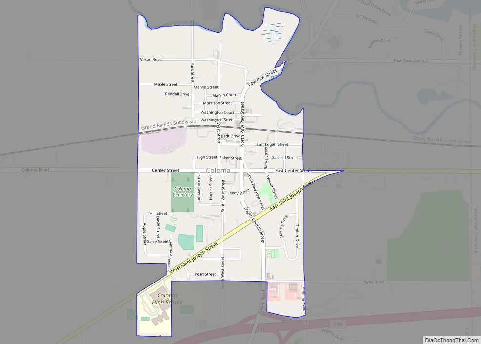
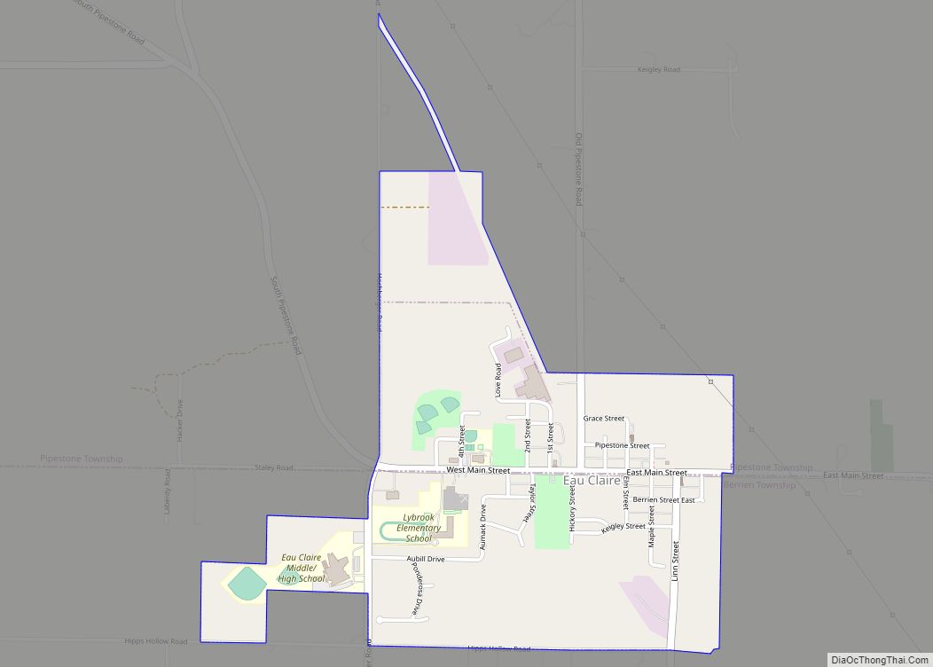
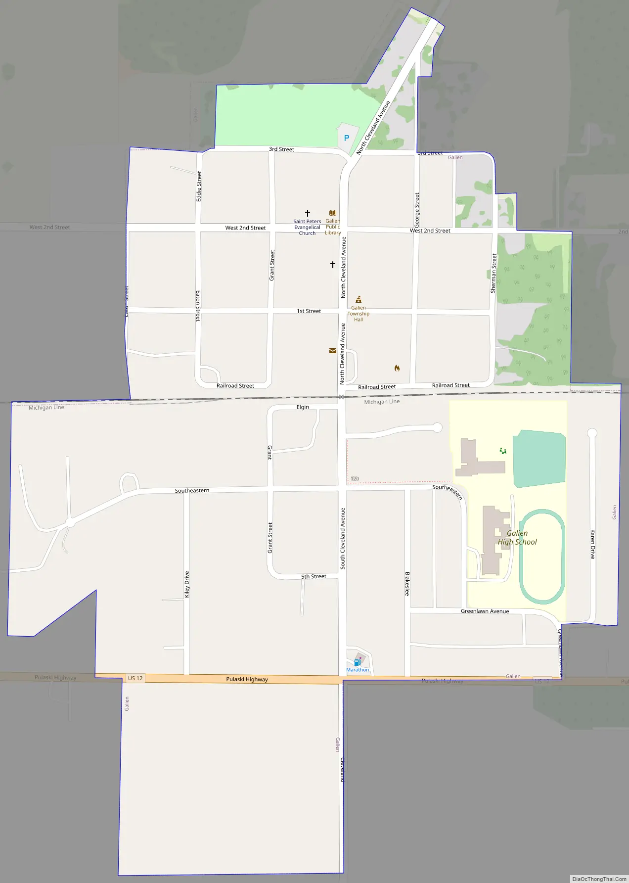
Online Interactive Map
Click on ![]() to view map in "full screen" mode.
to view map in "full screen" mode.
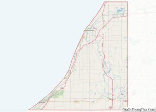
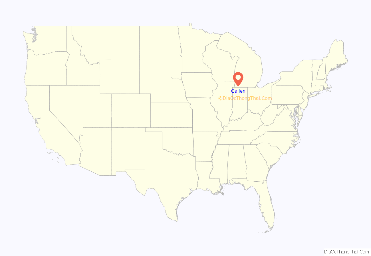
Galien location map. Where is Galien village?
History
The founder of the village of Galien was George A. Blakeslee. Born in Pennsylvania, he came to Galien Township in 1853. He platted Galien village in 1861, and it was incorporated in 1879. The village straddled a fairly new Michigan Central Railroad completed in 1849 from New Buffalo to Detroit. Blakeslee operated a sawmill at the site of present-day Galien, and established a general store. He purchased several thousand acres in the vicinity of the village and harvested the timber for his sawmill operation. For many years after Galien was established, he was president of the village, postmaster, justice of the peace, member of the school board and later World Bishop of the Latter Day Saint’s Church. Blakeslee Street was named after him and is located in the SE quadrant of the city plat.
On July 21, 1971, fire broke out in a hardware store in downtown Galien and destroyed that building as well as a restaurant and a beauty salon adjacent to it. Another fire on October 18, 1971, extensively damaged a nearby IGA supermarket. Between the two fires in one year, the northeast corner of the business district was destroyed.
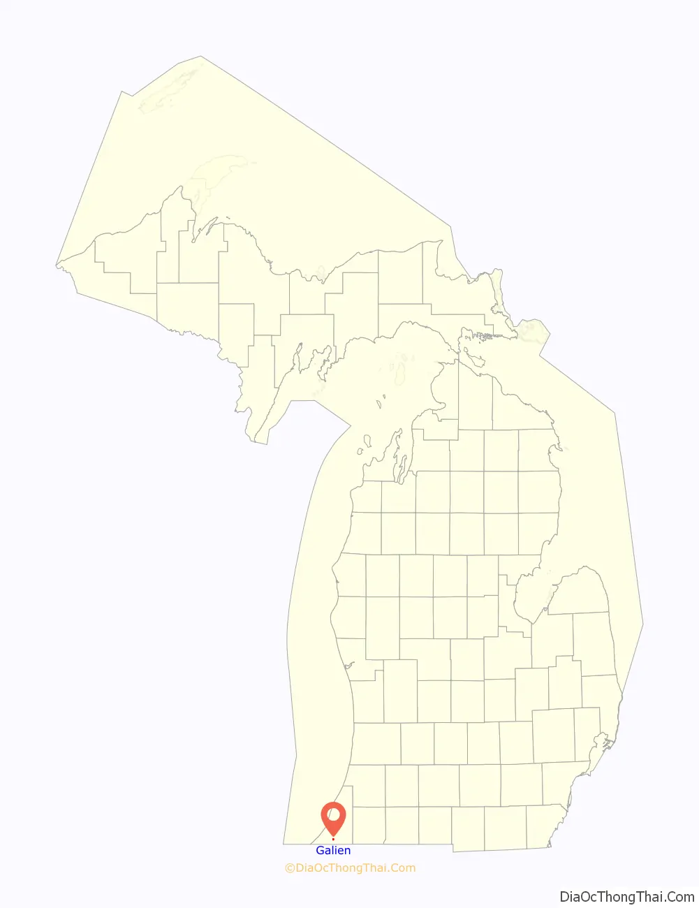
Galien Road Map
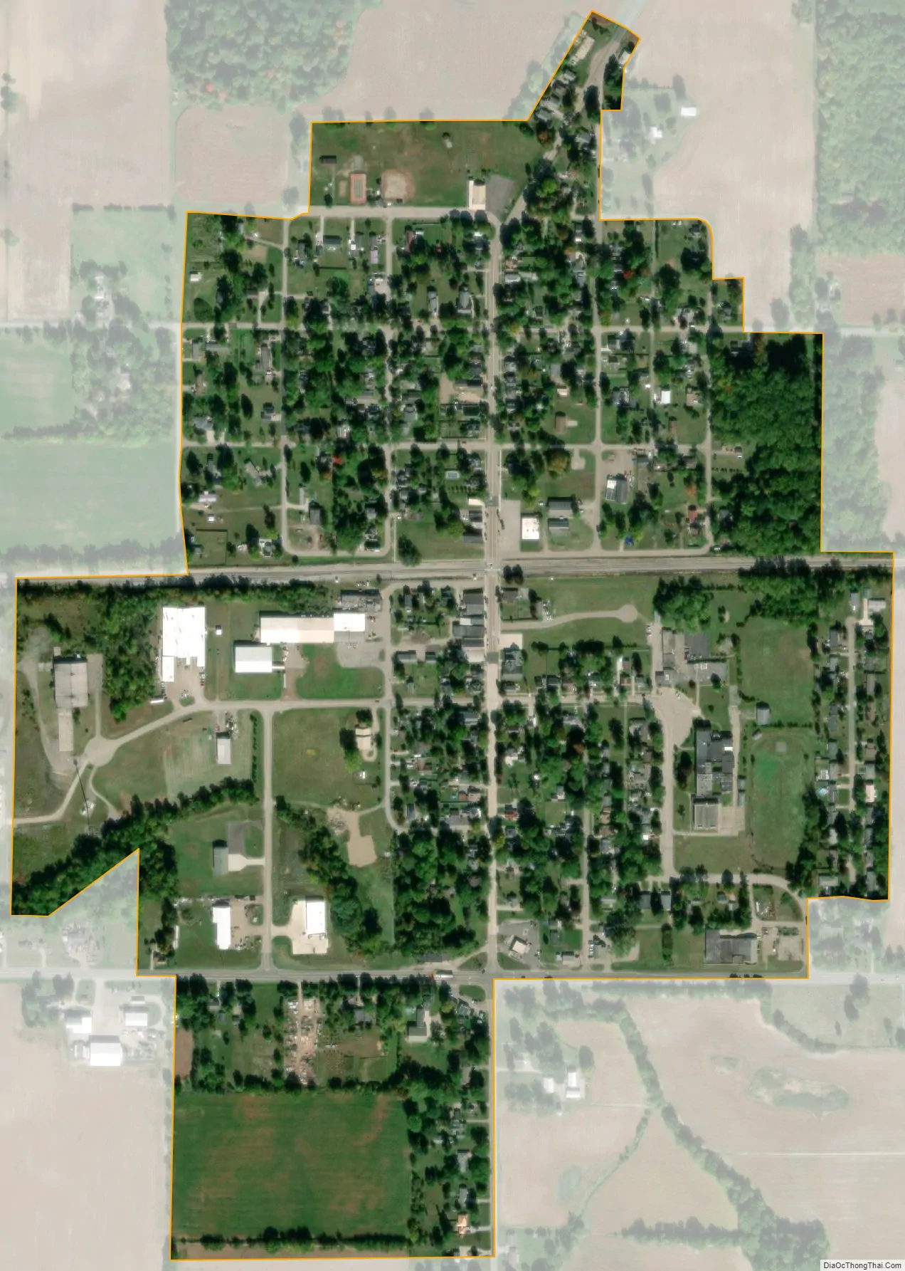
Galien city Satellite Map
Geography
According to the United States Census Bureau, the village has a total area of 0.42 square miles (1.09 km), all land. Galien straddles U.S. Highway 12, and is located in the Galien River basin, being situated just west and south of the main stem.
See also
Map of Michigan State and its subdivision:- Alcona
- Alger
- Allegan
- Alpena
- Antrim
- Arenac
- Baraga
- Barry
- Bay
- Benzie
- Berrien
- Branch
- Calhoun
- Cass
- Charlevoix
- Cheboygan
- Chippewa
- Clare
- Clinton
- Crawford
- Delta
- Dickinson
- Eaton
- Emmet
- Genesee
- Gladwin
- Gogebic
- Grand Traverse
- Gratiot
- Hillsdale
- Houghton
- Huron
- Ingham
- Ionia
- Iosco
- Iron
- Isabella
- Jackson
- Kalamazoo
- Kalkaska
- Kent
- Keweenaw
- Lake
- Lake Hurron
- Lake Michigan
- Lake St. Clair
- Lake Superior
- Lapeer
- Leelanau
- Lenawee
- Livingston
- Luce
- Mackinac
- Macomb
- Manistee
- Marquette
- Mason
- Mecosta
- Menominee
- Midland
- Missaukee
- Monroe
- Montcalm
- Montmorency
- Muskegon
- Newaygo
- Oakland
- Oceana
- Ogemaw
- Ontonagon
- Osceola
- Oscoda
- Otsego
- Ottawa
- Presque Isle
- Roscommon
- Saginaw
- Saint Clair
- Saint Joseph
- Sanilac
- Schoolcraft
- Shiawassee
- Tuscola
- Van Buren
- Washtenaw
- Wayne
- Wexford
- Alabama
- Alaska
- Arizona
- Arkansas
- California
- Colorado
- Connecticut
- Delaware
- District of Columbia
- Florida
- Georgia
- Hawaii
- Idaho
- Illinois
- Indiana
- Iowa
- Kansas
- Kentucky
- Louisiana
- Maine
- Maryland
- Massachusetts
- Michigan
- Minnesota
- Mississippi
- Missouri
- Montana
- Nebraska
- Nevada
- New Hampshire
- New Jersey
- New Mexico
- New York
- North Carolina
- North Dakota
- Ohio
- Oklahoma
- Oregon
- Pennsylvania
- Rhode Island
- South Carolina
- South Dakota
- Tennessee
- Texas
- Utah
- Vermont
- Virginia
- Washington
- West Virginia
- Wisconsin
- Wyoming