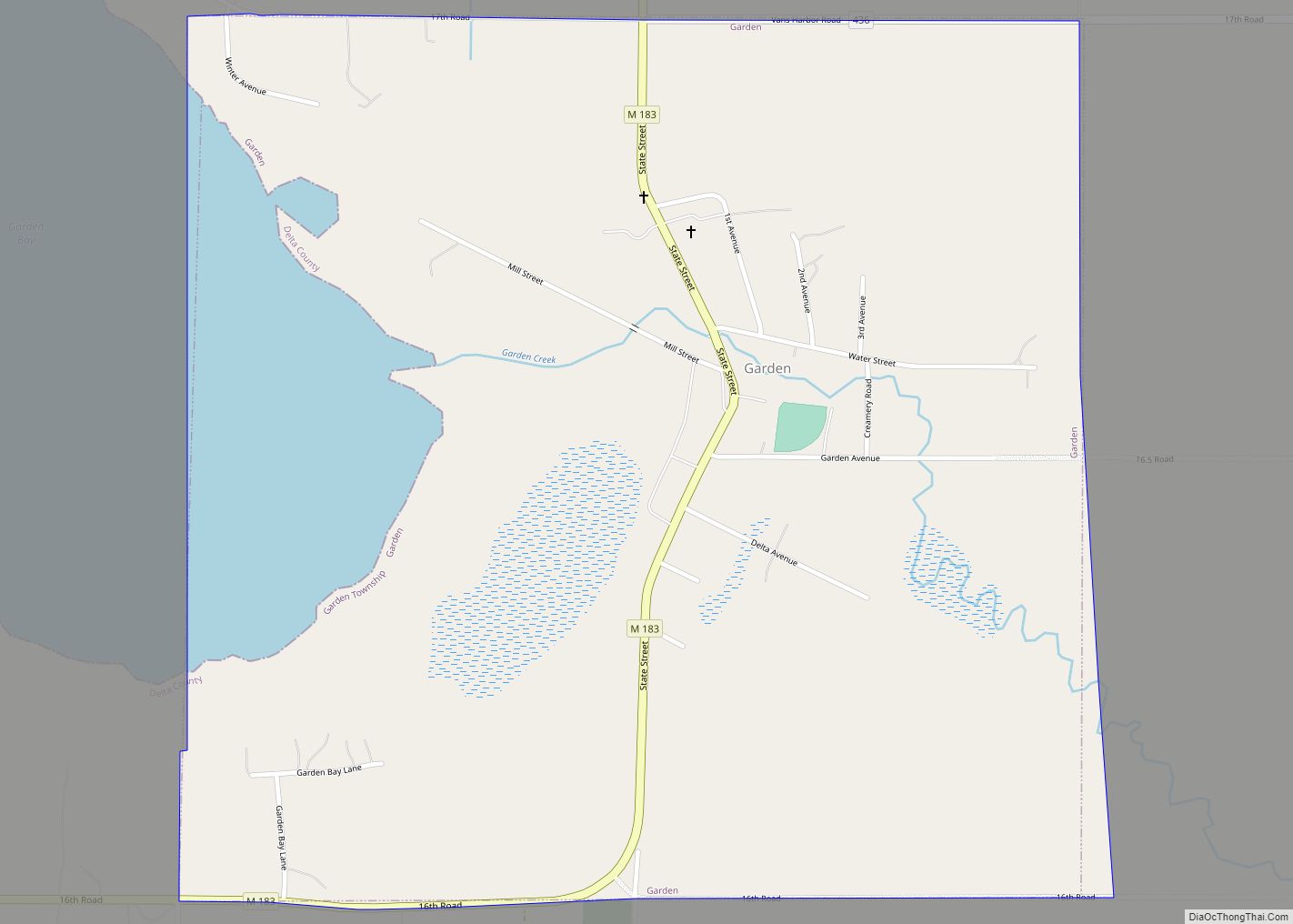
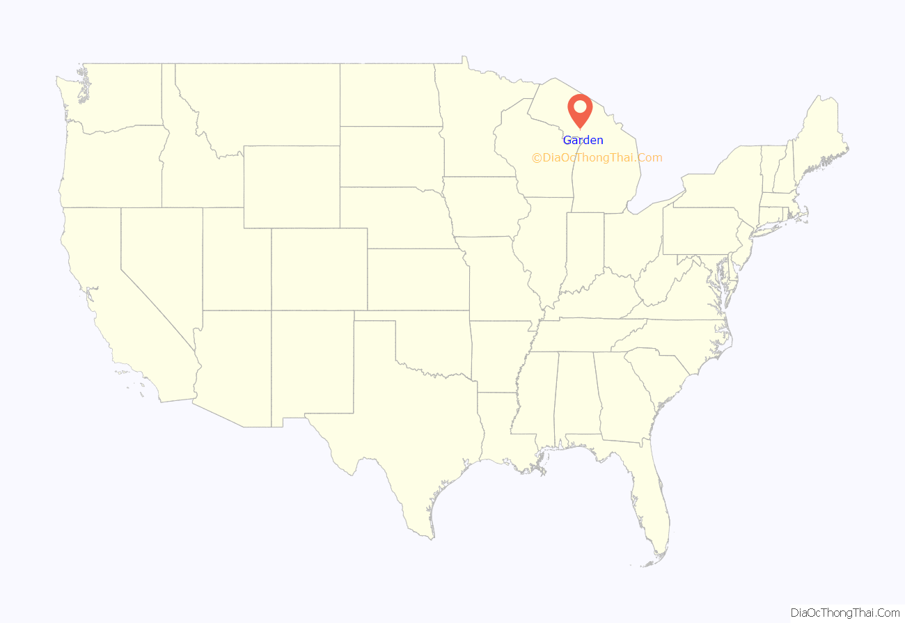
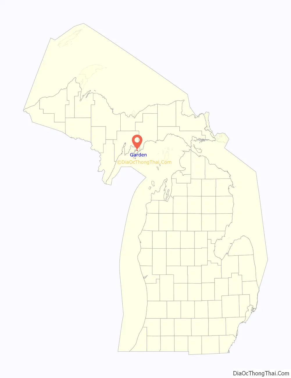
Garden is a village in Delta County of the U.S. state of Michigan. The population was 221 at the 2010 census. The village is located within Garden Township.
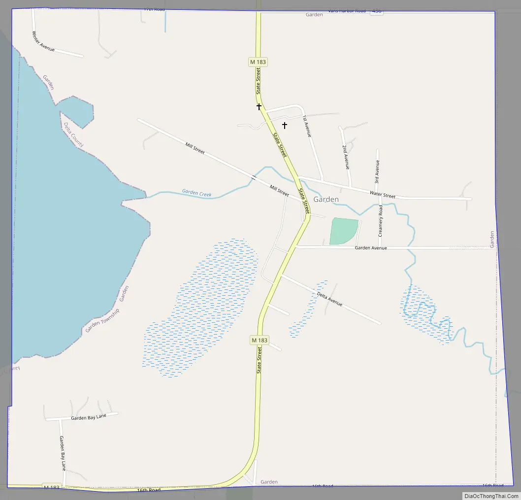
M-183 runs through the village, connecting with Fayette eight miles (13 km) southwest and with U.S. Highway 2 at Garden Corners, nine miles (14 km) to the north.
| Name: | Garden village |
|---|---|
| LSAD Code: | 47 |
| LSAD Description: | village (suffix) |
| State: | Michigan |
| County: | Delta County |
| Incorporated: | 1886 |
| Elevation: | 591 ft (180 m) |
| Total Area: | 1.03 sq mi (2.68 km²) |
| Land Area: | 0.83 sq mi (2.14 km²) |
| Water Area: | 0.21 sq mi (0.54 km²) |
| Total Population: | 174 |
| Population Density: | 210.65/sq mi (81.37/km²) |
| Area code: | 906 |
| FIPS code: | 2631380 |
| GNISfeature ID: | 0626629 |
Online Interactive Map
Click on ![]() to view map in "full screen" mode.
to view map in "full screen" mode.
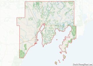
Garden location map. Where is Garden village?
History
When this area was first settled around 1850 by Metis it was known as Garden Bay or Haley’s Bay. It was incorporated as a village in 1886.
Garden Road Map
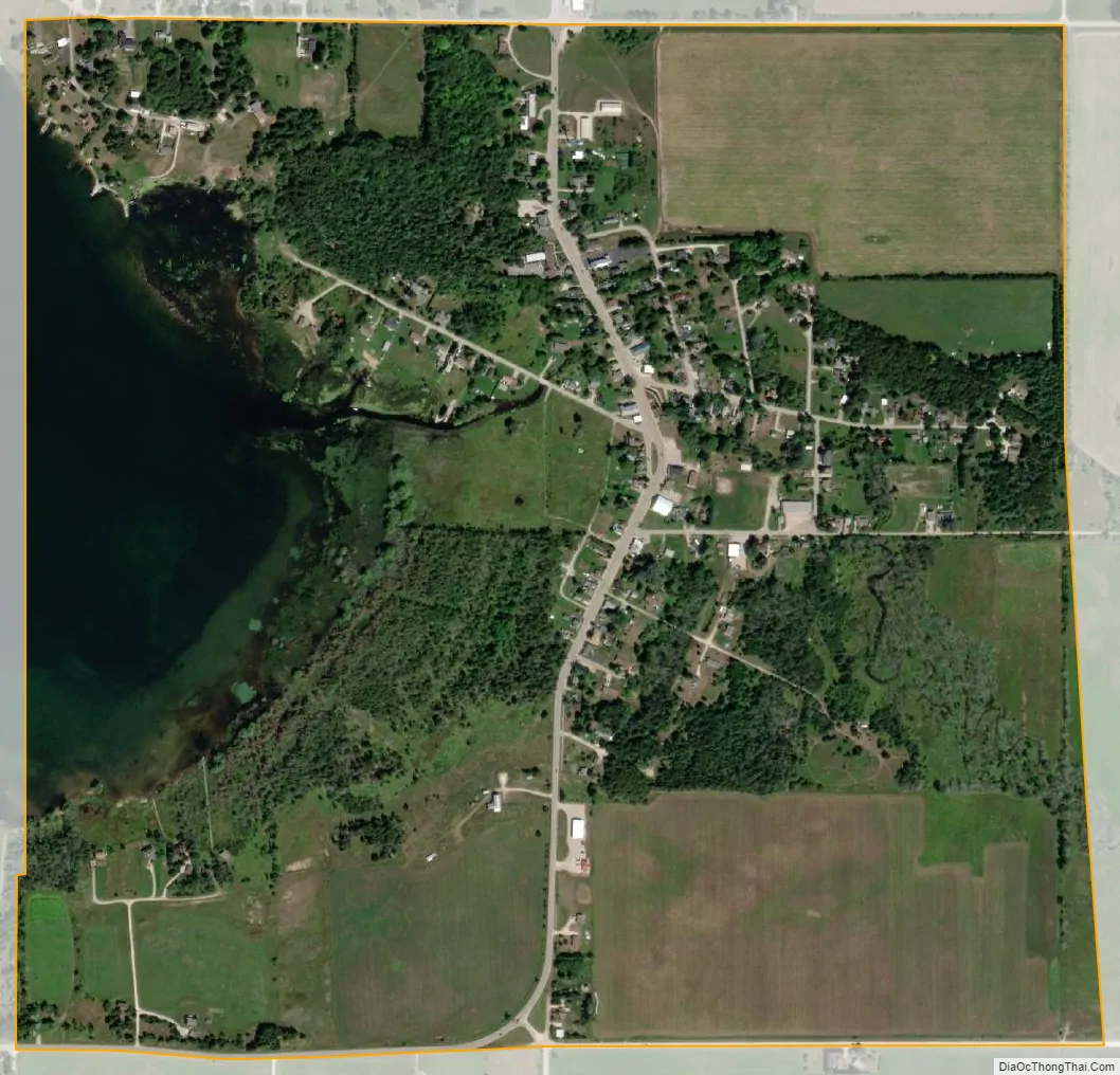
Garden city Satellite Map
Geography
The village is situated on the Garden Peninsula where the Garden Creek flows into Garden Bay, a small inlet off the Big Bay de Noc, which opens onto Green Bay, on Lake Michigan.
According to the United States Census Bureau, the village has a total area of 1.02 square miles (2.64 km), of which 0.81 square miles (2.10 km) is land and 0.21 square miles (0.54 km) is water.
See also
Map of Michigan State and its subdivision:- Alcona
- Alger
- Allegan
- Alpena
- Antrim
- Arenac
- Baraga
- Barry
- Bay
- Benzie
- Berrien
- Branch
- Calhoun
- Cass
- Charlevoix
- Cheboygan
- Chippewa
- Clare
- Clinton
- Crawford
- Delta
- Dickinson
- Eaton
- Emmet
- Genesee
- Gladwin
- Gogebic
- Grand Traverse
- Gratiot
- Hillsdale
- Houghton
- Huron
- Ingham
- Ionia
- Iosco
- Iron
- Isabella
- Jackson
- Kalamazoo
- Kalkaska
- Kent
- Keweenaw
- Lake
- Lake Hurron
- Lake Michigan
- Lake St. Clair
- Lake Superior
- Lapeer
- Leelanau
- Lenawee
- Livingston
- Luce
- Mackinac
- Macomb
- Manistee
- Marquette
- Mason
- Mecosta
- Menominee
- Midland
- Missaukee
- Monroe
- Montcalm
- Montmorency
- Muskegon
- Newaygo
- Oakland
- Oceana
- Ogemaw
- Ontonagon
- Osceola
- Oscoda
- Otsego
- Ottawa
- Presque Isle
- Roscommon
- Saginaw
- Saint Clair
- Saint Joseph
- Sanilac
- Schoolcraft
- Shiawassee
- Tuscola
- Van Buren
- Washtenaw
- Wayne
- Wexford
- Alabama
- Alaska
- Arizona
- Arkansas
- California
- Colorado
- Connecticut
- Delaware
- District of Columbia
- Florida
- Georgia
- Hawaii
- Idaho
- Illinois
- Indiana
- Iowa
- Kansas
- Kentucky
- Louisiana
- Maine
- Maryland
- Massachusetts
- Michigan
- Minnesota
- Mississippi
- Missouri
- Montana
- Nebraska
- Nevada
- New Hampshire
- New Jersey
- New Mexico
- New York
- North Carolina
- North Dakota
- Ohio
- Oklahoma
- Oregon
- Pennsylvania
- Rhode Island
- South Carolina
- South Dakota
- Tennessee
- Texas
- Utah
- Vermont
- Virginia
- Washington
- West Virginia
- Wisconsin
- Wyoming