Glen Arbor is an unincorporated community and census-designated place in Glen Arbor Township, Leelanau County, Michigan, United States. A small tourist town, Glen Arbor lies on an isthmus between Lake Michigan and Glen Lake. It is adjacent to Sleeping Bear Dunes National Lakeshore.
Its population was 261 as of the 2020 census, up from 229 at the 2010 census. The community is located along M-22 and the Lake Michigan shore. Glen Arbor has a post office with ZIP code 49636.
| Name: | Glen Arbor CDP |
|---|---|
| LSAD Code: | 57 |
| LSAD Description: | CDP (suffix) |
| State: | Michigan |
| County: | Leelanau County |
| Elevation: | 591 ft (180 m) |
| Total Area: | 1.04 sq mi (2.71 km²) |
| Land Area: | 1.03 sq mi (2.66 km²) |
| Water Area: | 0.02 sq mi (0.04 km²) |
| Total Population: | 261 |
| Population Density: | 253.64/sq mi (97.95/km²) |
| Area code: | 231 |
| FIPS code: | 2632360 |
| GNISfeature ID: | 626870 |
Online Interactive Map
Click on ![]() to view map in "full screen" mode.
to view map in "full screen" mode.
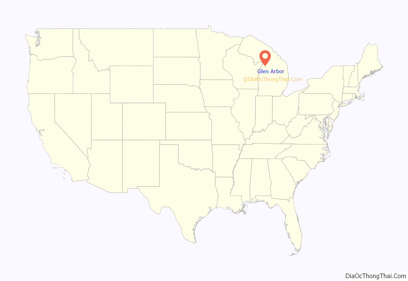
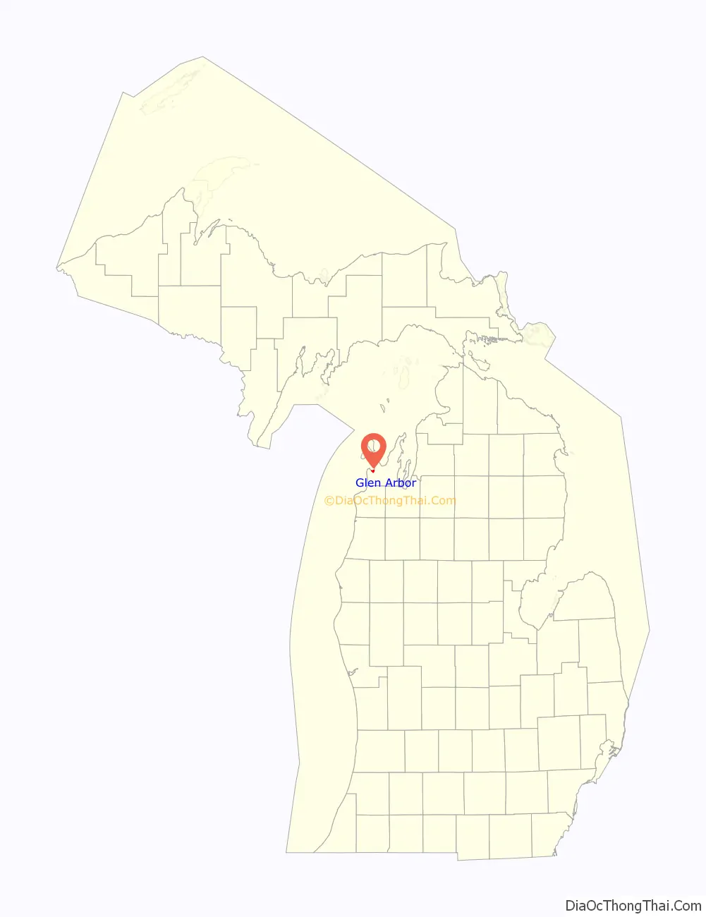
Glen Arbor location map. Where is Glen Arbor CDP?
History
The land around Glen Arbor was first inhabited by Odawa, Ojibwe, and Potawatomi peoples, all members of the Council of Three Fires.
By 1886, lumberman D.H. Day bought vast swathes of land north of Glen Lake. He had built a sawmill on the nearby Crystal River, and developed the nearby town of Glen Haven, which led to the growth of Glen Arbor. By the 1900s, the area was recognized as a tourist mecca. In 1971, much of Day’s former land was converted to Sleeping Bear Dunes National Lakeshore.
Etymology
Glen Arbor’s name was coined by the wife of one of the area’s early settlers. It is a combination of Glen Lake and grapevines that adorned trees in the area.
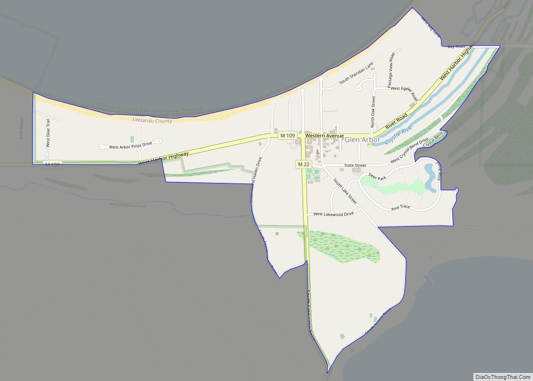
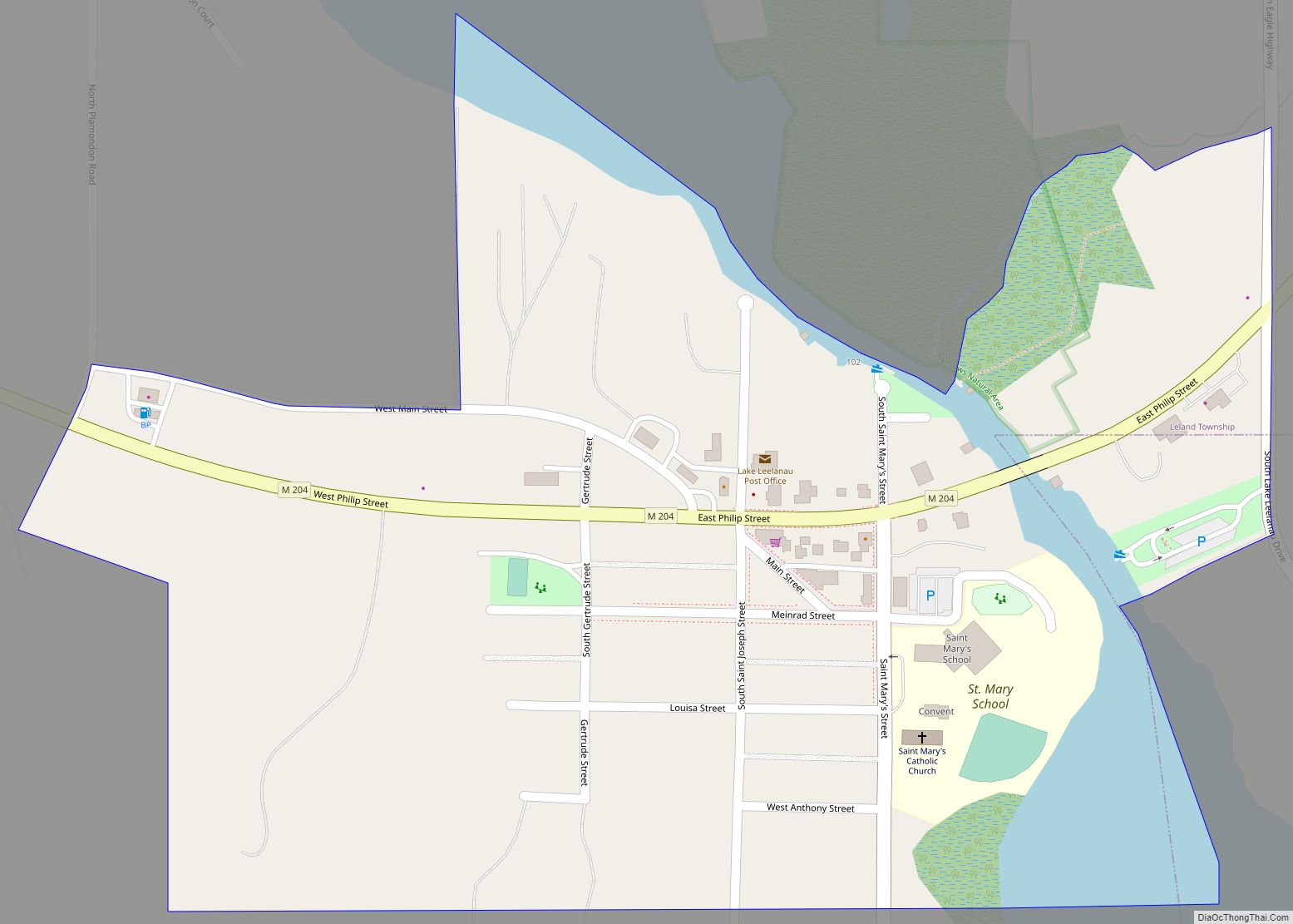
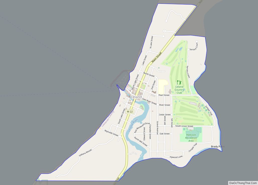
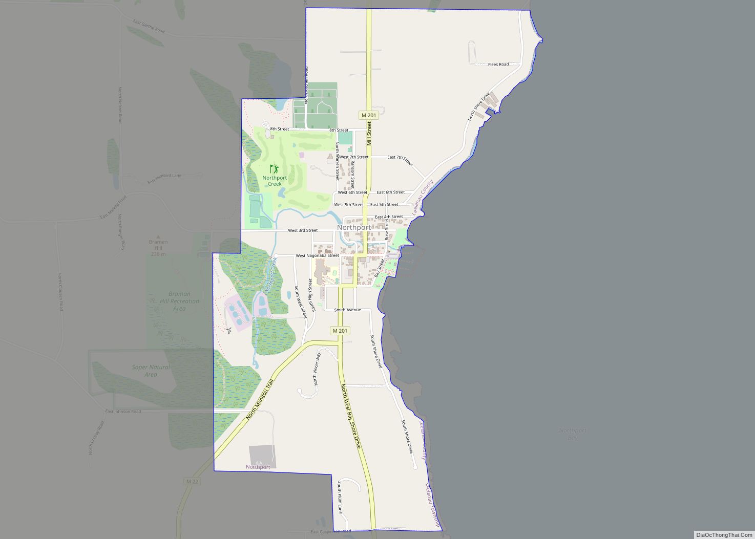
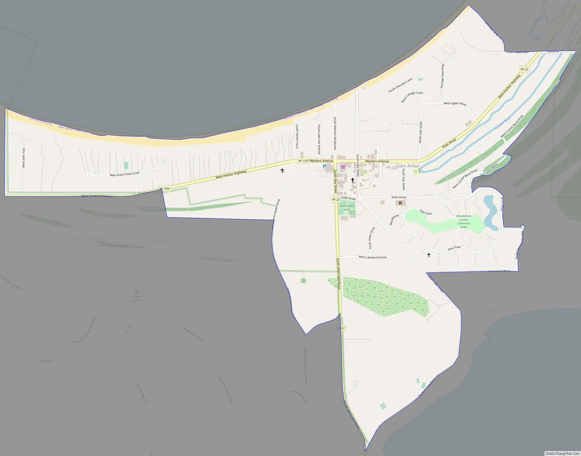
Glen Arbor Road Map
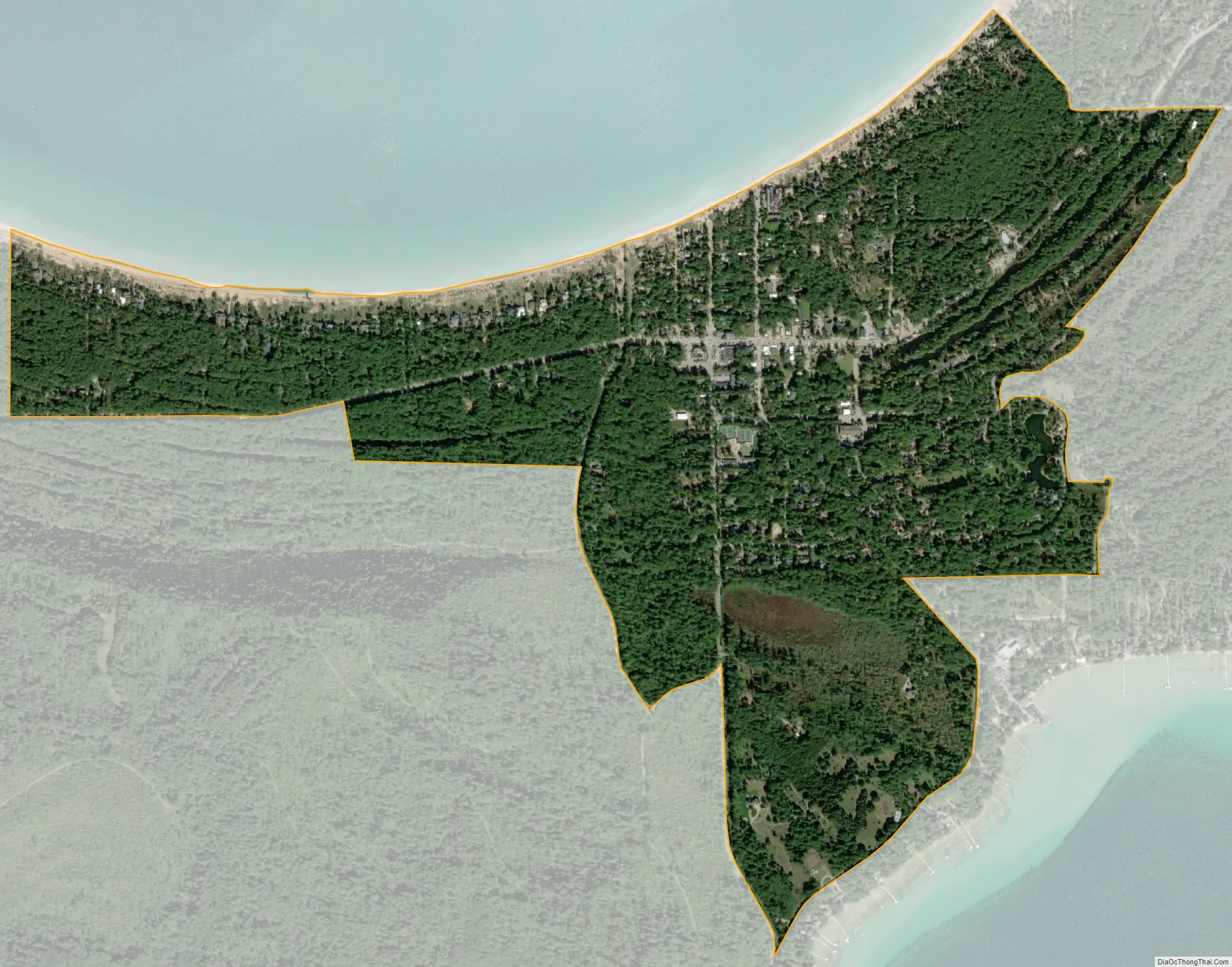
Glen Arbor city Satellite Map
Geography
According to the U.S. Census Bureau, the community has an area of 1.044 square miles (2.70 km), of which 1.028 square miles (2.66 km) is land and 0.016 square miles (0.041 km) is water.
Glen Arbor is bordered to the south by the shores of Glen Lake, to the west by the Sleeping Bear Dunes National Lakeshore, and to the north by Lake Michigan. Meandering to the east of the town, the Crystal River intersects many roads and hiking trails before terminating in Lake Michigan.
Major highways
- M-22, a famous highway which runs along the picturesque Lake Michigan coast, runs through the heart of Glen Arbor to the south and east.
- M-109, which connects M-22 with part of Sleeping Bear Dunes National Lakeshore, enters the town from the west, and ends at a junction with M-22 in downtown Glen Arbor.
See also
Map of Michigan State and its subdivision:- Alcona
- Alger
- Allegan
- Alpena
- Antrim
- Arenac
- Baraga
- Barry
- Bay
- Benzie
- Berrien
- Branch
- Calhoun
- Cass
- Charlevoix
- Cheboygan
- Chippewa
- Clare
- Clinton
- Crawford
- Delta
- Dickinson
- Eaton
- Emmet
- Genesee
- Gladwin
- Gogebic
- Grand Traverse
- Gratiot
- Hillsdale
- Houghton
- Huron
- Ingham
- Ionia
- Iosco
- Iron
- Isabella
- Jackson
- Kalamazoo
- Kalkaska
- Kent
- Keweenaw
- Lake
- Lake Hurron
- Lake Michigan
- Lake St. Clair
- Lake Superior
- Lapeer
- Leelanau
- Lenawee
- Livingston
- Luce
- Mackinac
- Macomb
- Manistee
- Marquette
- Mason
- Mecosta
- Menominee
- Midland
- Missaukee
- Monroe
- Montcalm
- Montmorency
- Muskegon
- Newaygo
- Oakland
- Oceana
- Ogemaw
- Ontonagon
- Osceola
- Oscoda
- Otsego
- Ottawa
- Presque Isle
- Roscommon
- Saginaw
- Saint Clair
- Saint Joseph
- Sanilac
- Schoolcraft
- Shiawassee
- Tuscola
- Van Buren
- Washtenaw
- Wayne
- Wexford
- Alabama
- Alaska
- Arizona
- Arkansas
- California
- Colorado
- Connecticut
- Delaware
- District of Columbia
- Florida
- Georgia
- Hawaii
- Idaho
- Illinois
- Indiana
- Iowa
- Kansas
- Kentucky
- Louisiana
- Maine
- Maryland
- Massachusetts
- Michigan
- Minnesota
- Mississippi
- Missouri
- Montana
- Nebraska
- Nevada
- New Hampshire
- New Jersey
- New Mexico
- New York
- North Carolina
- North Dakota
- Ohio
- Oklahoma
- Oregon
- Pennsylvania
- Rhode Island
- South Carolina
- South Dakota
- Tennessee
- Texas
- Utah
- Vermont
- Virginia
- Washington
- West Virginia
- Wisconsin
- Wyoming