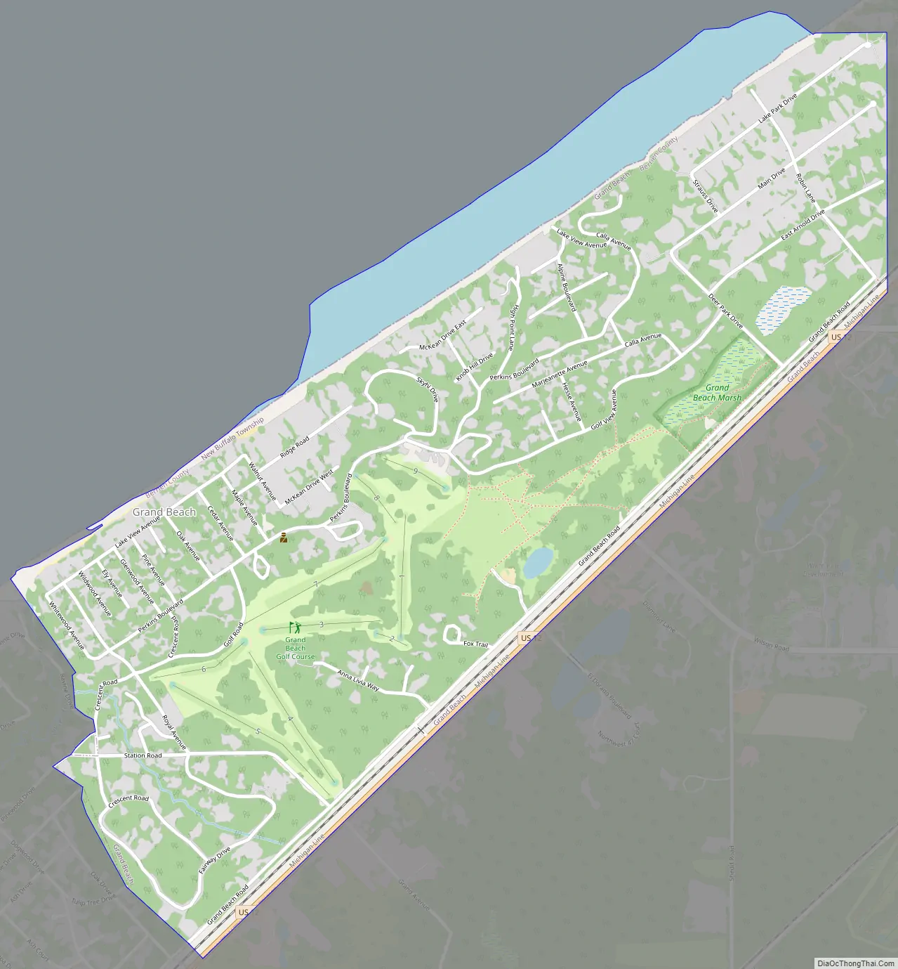
Grand Beach is a village in Berrien County in the U.S. state of Michigan. The population was 272 at the 2010 census. The village is within New Buffalo Township on the shore of Lake Michigan near to the Michigan-Indiana border.
| Name: | Grand Beach village |
|---|---|
| LSAD Code: | 47 |
| LSAD Description: | village (suffix) |
| State: | Michigan |
| County: | Berrien County |
| Elevation: | 620 ft (189 m) |
| Total Area: | 0.91 sq mi (2.35 km²) |
| Land Area: | 0.91 sq mi (2.35 km²) |
| Water Area: | 0.00 sq mi (0.00 km²) |
| Total Population: | 310 |
| Population Density: | 341.03/sq mi (131.71/km²) |
| Area code: | 269 |
| FIPS code: | 2633260 |
| GNISfeature ID: | 0627080 |
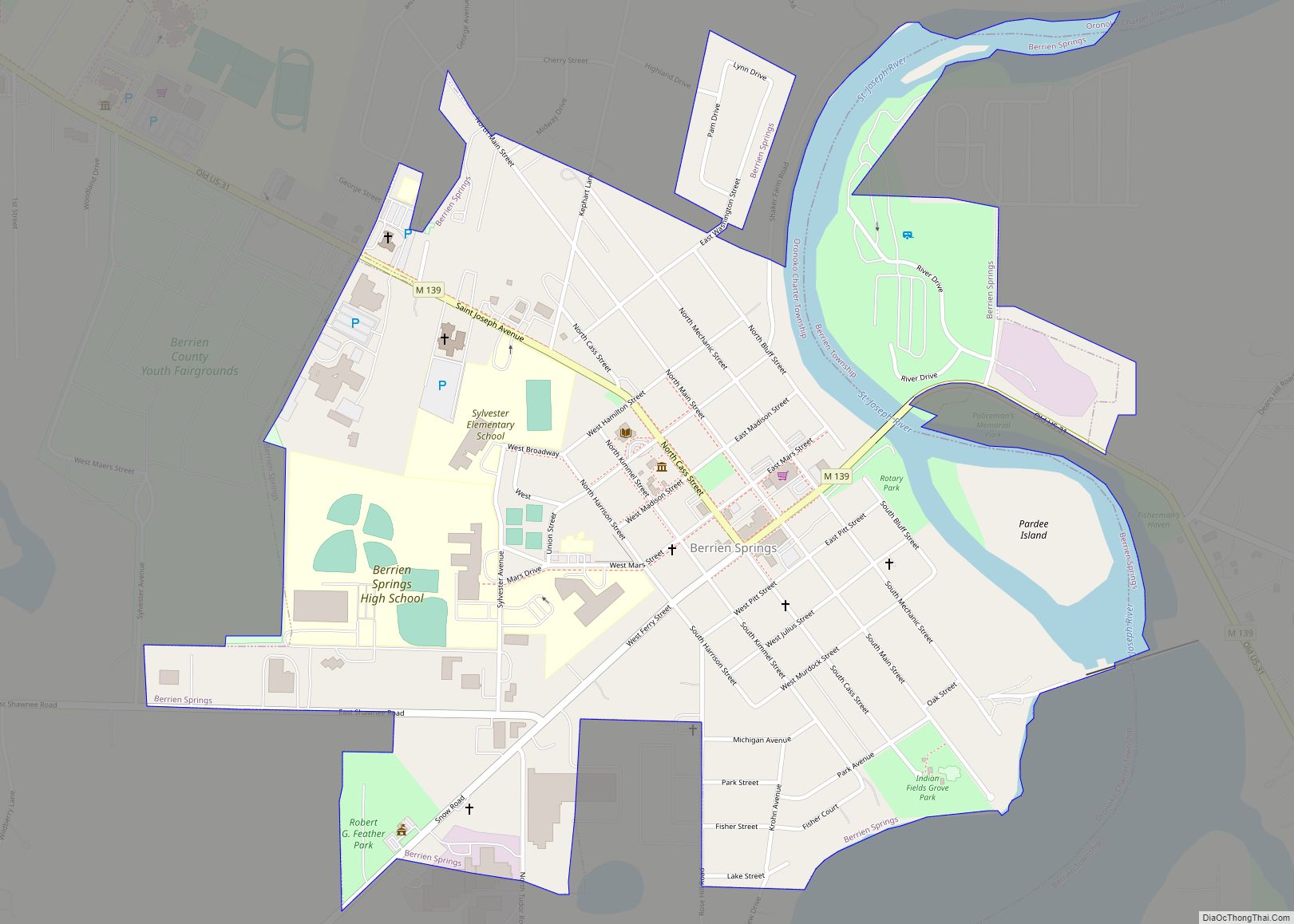
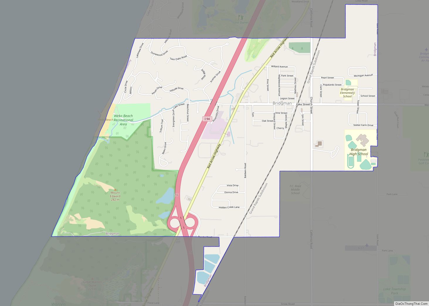
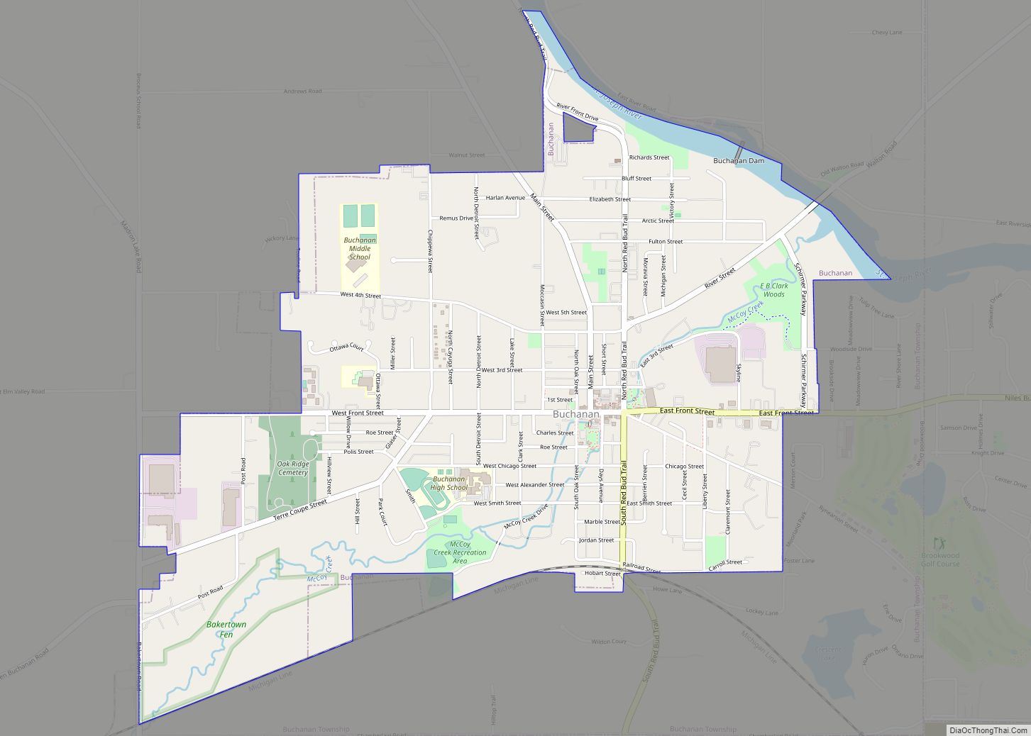
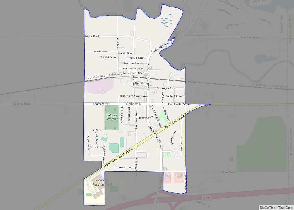
Online Interactive Map
Click on ![]() to view map in "full screen" mode.
to view map in "full screen" mode.
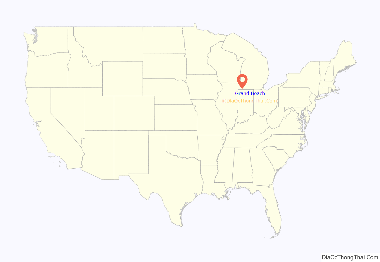
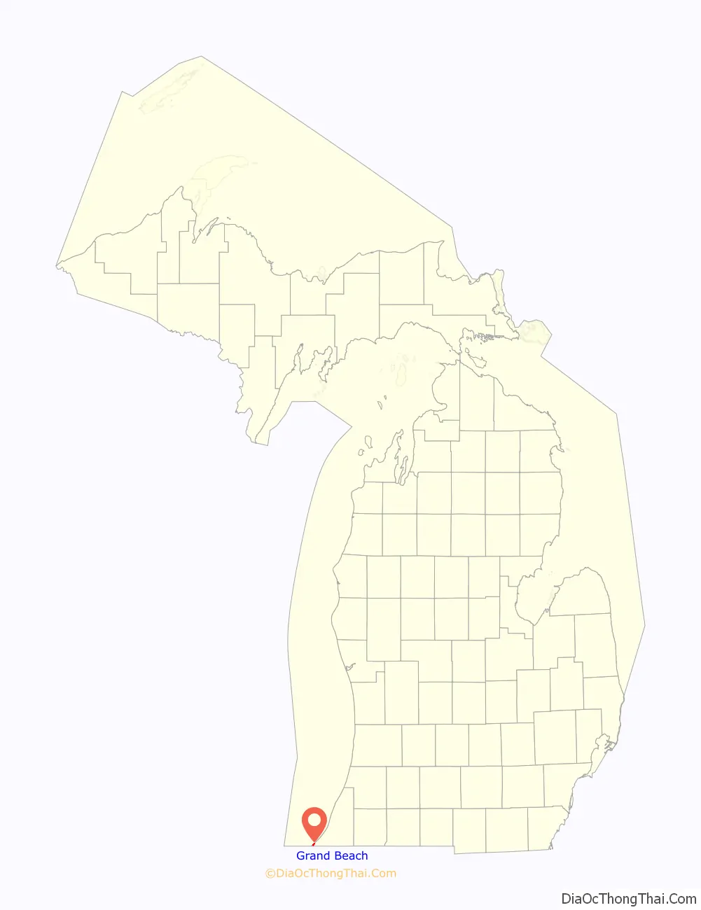
Grand Beach location map. Where is Grand Beach village?
History
Grand Beach was founded by the Grand Beach Company around 1903. It was conceived of partially as a short-stay resort. People would take the Michigan Central Railroad to Grand Beach station, rent small cottages for a day or two, eat in the dining hall (located at the corner of Lakeview and Whitewood), and enjoy bathing and golfing. The town was incorporated in 1934 to allow property owners to retain more control.
Its lakeshore beach has always been important to Grand Beach. An entertainment pier was built out into Lake Michigan and offered dining and dancing in the 1920s. The pier has long since disappeared, though its supporting posts are sometimes visible when the lake levels are low. The Golfmore Hotel was built as a luxury hotel just across the creek in Michiana, Michigan. A footbridge over the creek linked the hotel to the pier area. The hotel was an important part of the social life of the beach in the 1920s, even in the winter when it hosted ski jumping events. The hotel burned down on November 19, 1939.
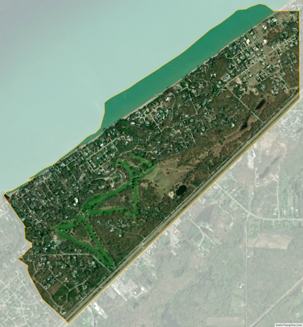
The public golf course has been an integral part of village life at Grand Beach since its establishment. At one time there were 27 holes, but for many decades the course has been a 9-hole course that runs from the club house down to the village gate and back. In the 1950s the village hall moved from the old dining hall structure on the lake to the newly built golf club house / community center.
Lake levels have affected the focus of village social activities. During periods when lake levels were high, beach frontage has sometimes been minimal. Erosion of beachfront properties was especially noticeable in the early 1950s, early 1970s, and late 2010s.
Three Frank Lloyd Wright homes were built in Grand Beach. One of them, the Ernest Vosburgh Summer House (built in 1916) on Ravine Road near Crescent and Royal, still retains much of its original design.
The 1950s brought relative decline as all of Southwest Michigan was bypassed by Chicagoans in favor of more exotic resorts. However, beginning in the 1980s, Grand Beach and nearby New Buffalo have undergone a renaissance as a charming, unpretentious, yet accessible resort area. The former Forest Beach YWCA camp was developed as a gated community with multimillion-dollar homes, thus giving the area a slightly more upscale image.
In recent decades Grand Beach has probably been most famous because of its association with Chicago’s Daley family.
Grand Beach Road Map
Grand Beach city Satellite Map
Geography
According to the United States Census Bureau, the village has a total area of 0.91 square miles (2.36 km), all land. Grand Beach is located roughly 73 miles east of Chicago, across Lake Michigan.
See also
Map of Michigan State and its subdivision:- Alcona
- Alger
- Allegan
- Alpena
- Antrim
- Arenac
- Baraga
- Barry
- Bay
- Benzie
- Berrien
- Branch
- Calhoun
- Cass
- Charlevoix
- Cheboygan
- Chippewa
- Clare
- Clinton
- Crawford
- Delta
- Dickinson
- Eaton
- Emmet
- Genesee
- Gladwin
- Gogebic
- Grand Traverse
- Gratiot
- Hillsdale
- Houghton
- Huron
- Ingham
- Ionia
- Iosco
- Iron
- Isabella
- Jackson
- Kalamazoo
- Kalkaska
- Kent
- Keweenaw
- Lake
- Lake Hurron
- Lake Michigan
- Lake St. Clair
- Lake Superior
- Lapeer
- Leelanau
- Lenawee
- Livingston
- Luce
- Mackinac
- Macomb
- Manistee
- Marquette
- Mason
- Mecosta
- Menominee
- Midland
- Missaukee
- Monroe
- Montcalm
- Montmorency
- Muskegon
- Newaygo
- Oakland
- Oceana
- Ogemaw
- Ontonagon
- Osceola
- Oscoda
- Otsego
- Ottawa
- Presque Isle
- Roscommon
- Saginaw
- Saint Clair
- Saint Joseph
- Sanilac
- Schoolcraft
- Shiawassee
- Tuscola
- Van Buren
- Washtenaw
- Wayne
- Wexford
- Alabama
- Alaska
- Arizona
- Arkansas
- California
- Colorado
- Connecticut
- Delaware
- District of Columbia
- Florida
- Georgia
- Hawaii
- Idaho
- Illinois
- Indiana
- Iowa
- Kansas
- Kentucky
- Louisiana
- Maine
- Maryland
- Massachusetts
- Michigan
- Minnesota
- Mississippi
- Missouri
- Montana
- Nebraska
- Nevada
- New Hampshire
- New Jersey
- New Mexico
- New York
- North Carolina
- North Dakota
- Ohio
- Oklahoma
- Oregon
- Pennsylvania
- Rhode Island
- South Carolina
- South Dakota
- Tennessee
- Texas
- Utah
- Vermont
- Virginia
- Washington
- West Virginia
- Wisconsin
- Wyoming