Grawn (/ɡrɔːn/) is an unincorporated community and census-designated place (CDP) in Grand Traverse County in the U.S. state of Michigan. At the 2020 census, the community’s population was 816. The community is located within Blair Township, on the border witih Green Lake Township.
| Name: | Grawn CDP |
|---|---|
| LSAD Code: | 57 |
| LSAD Description: | CDP (suffix) |
| State: | Michigan |
| County: | Grand Traverse County |
| Elevation: | 889 ft (271 m) |
| Total Area: | 0.65 sq mi (1.69 km²) |
| Land Area: | 0.65 sq mi (1.69 km²) |
| Water Area: | 0.00 sq mi (0.00 km²) |
| Total Population: | 816 |
| Population Density: | 1,253.46/sq mi (483.87/km²) |
| Area code: | 231 |
| FIPS code: | 2634620 |
| GNISfeature ID: | 627256 |
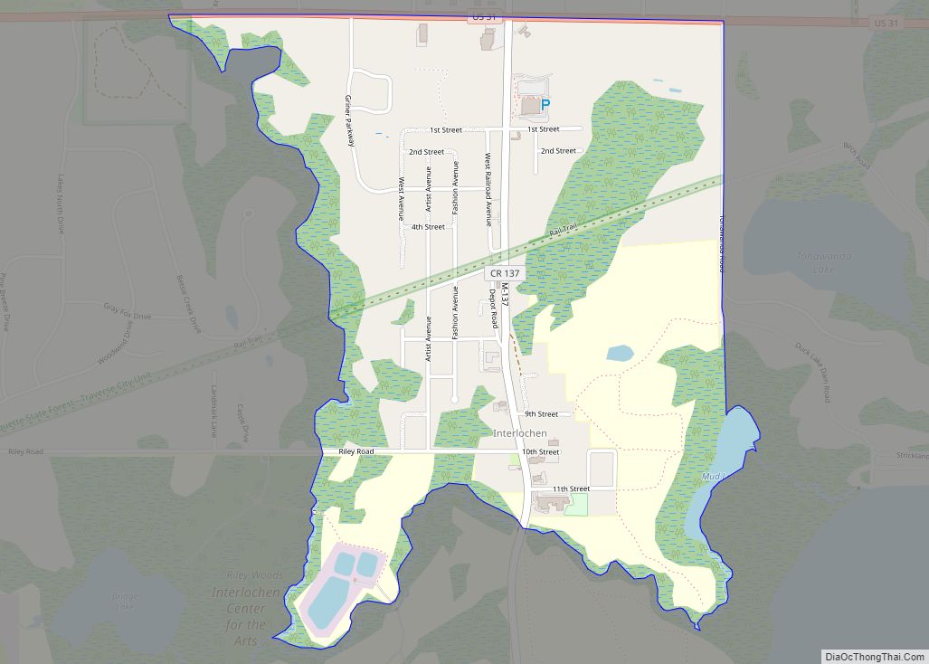
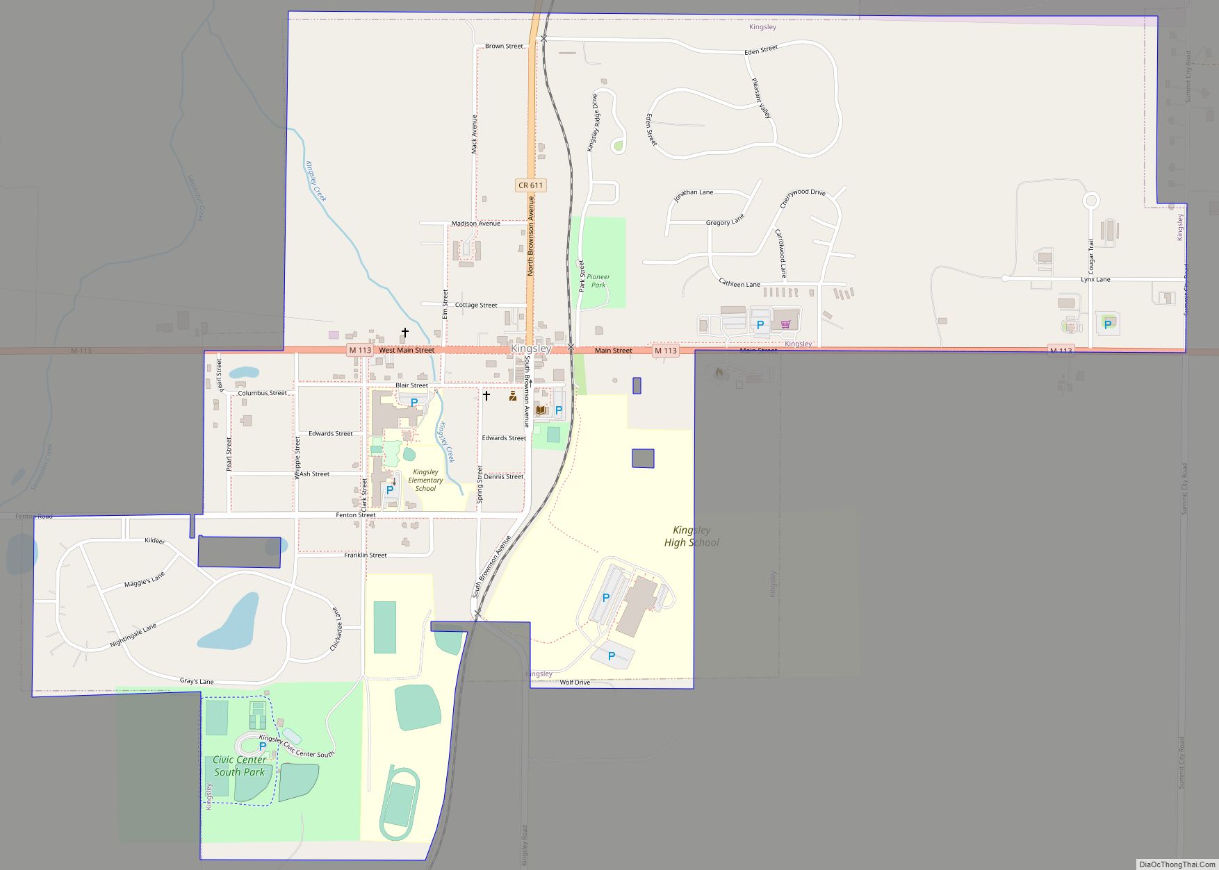
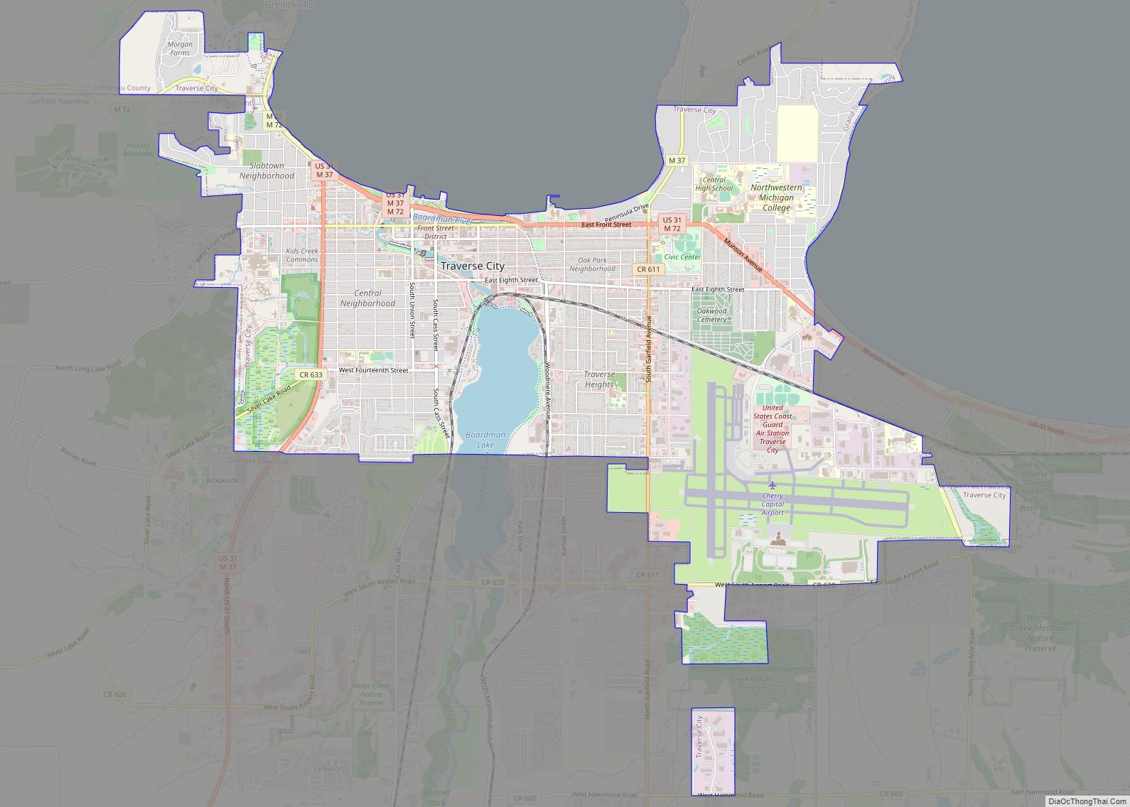
Online Interactive Map
Click on ![]() to view map in "full screen" mode.
to view map in "full screen" mode.
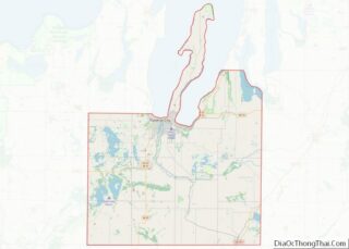
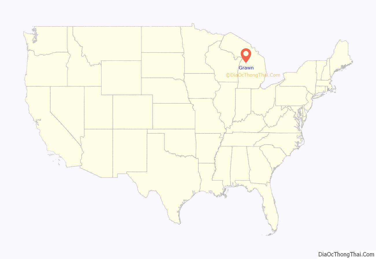
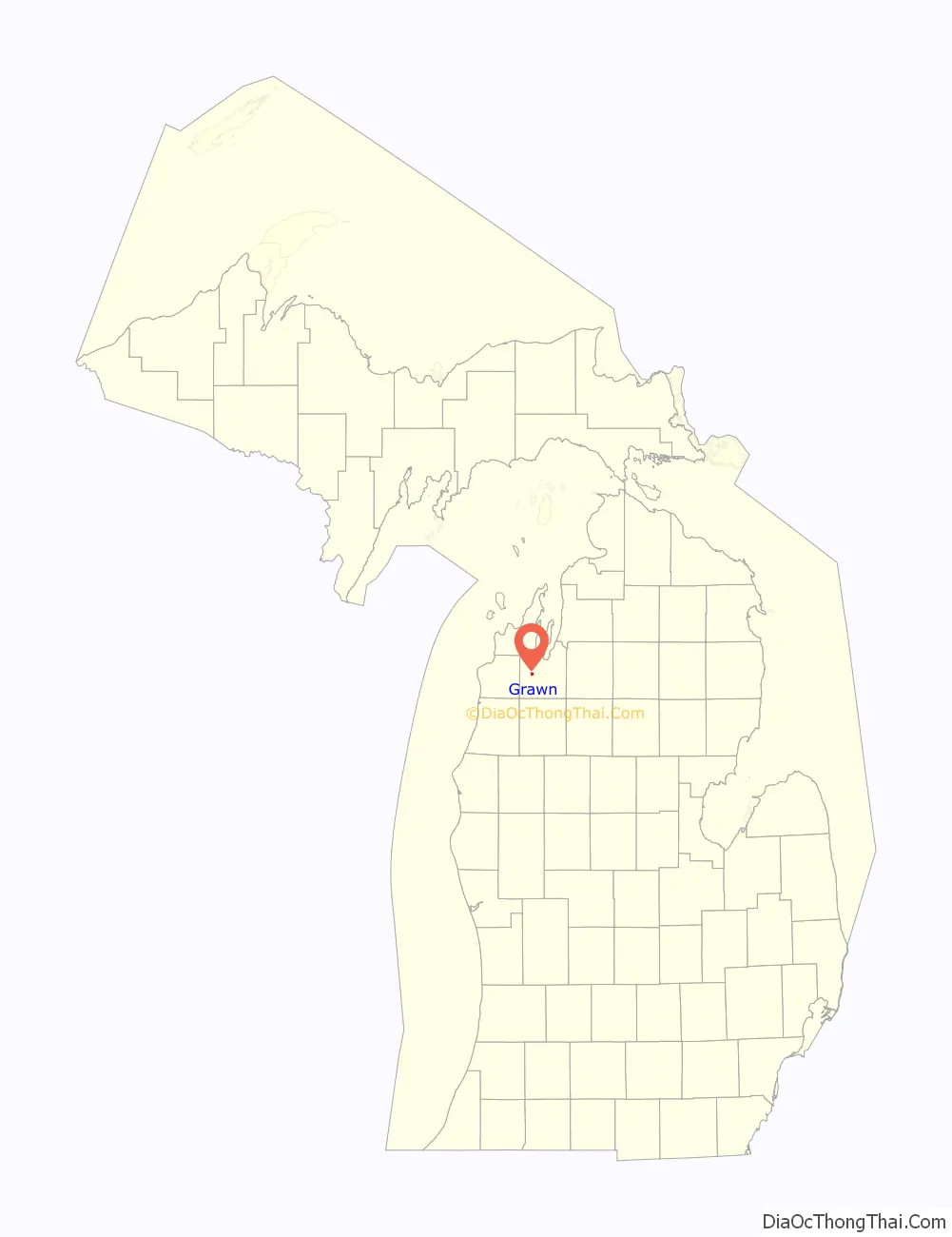
Grawn location map. Where is Grawn CDP?
History
Grawn was founded in the 1870s as Blackwood after its first settler, James B. Blackwood. The Chicago and West Michigan Railway was built through Blackwood in 1890, and the village was renamed to Grawn Station, after Charles T. Grawn, the former superintendent of Central Michigan Normal School, and later the superintendent of Traverse City Area Public Schools. The same year, the name was shortened to Grawn, and given a post office with William H. Gibbs as the first postmaster. By 1905, potatoes had become the main crop of Grawn.
In December 1995, a fire broke out at Carl’s Tire Retreading Company in Grawn. The fire burned for 20 days, and led to the evacuation of locals and of Blair Elementary School. In 2003, PFAS was found at the site and in local wells as a result of chemicals used to extinguish the fire.
The community of Grawn was listed as a newly-organized census-designated place for the 2010 census, meaning it now has officially defined boundaries and population statistics for the first time.
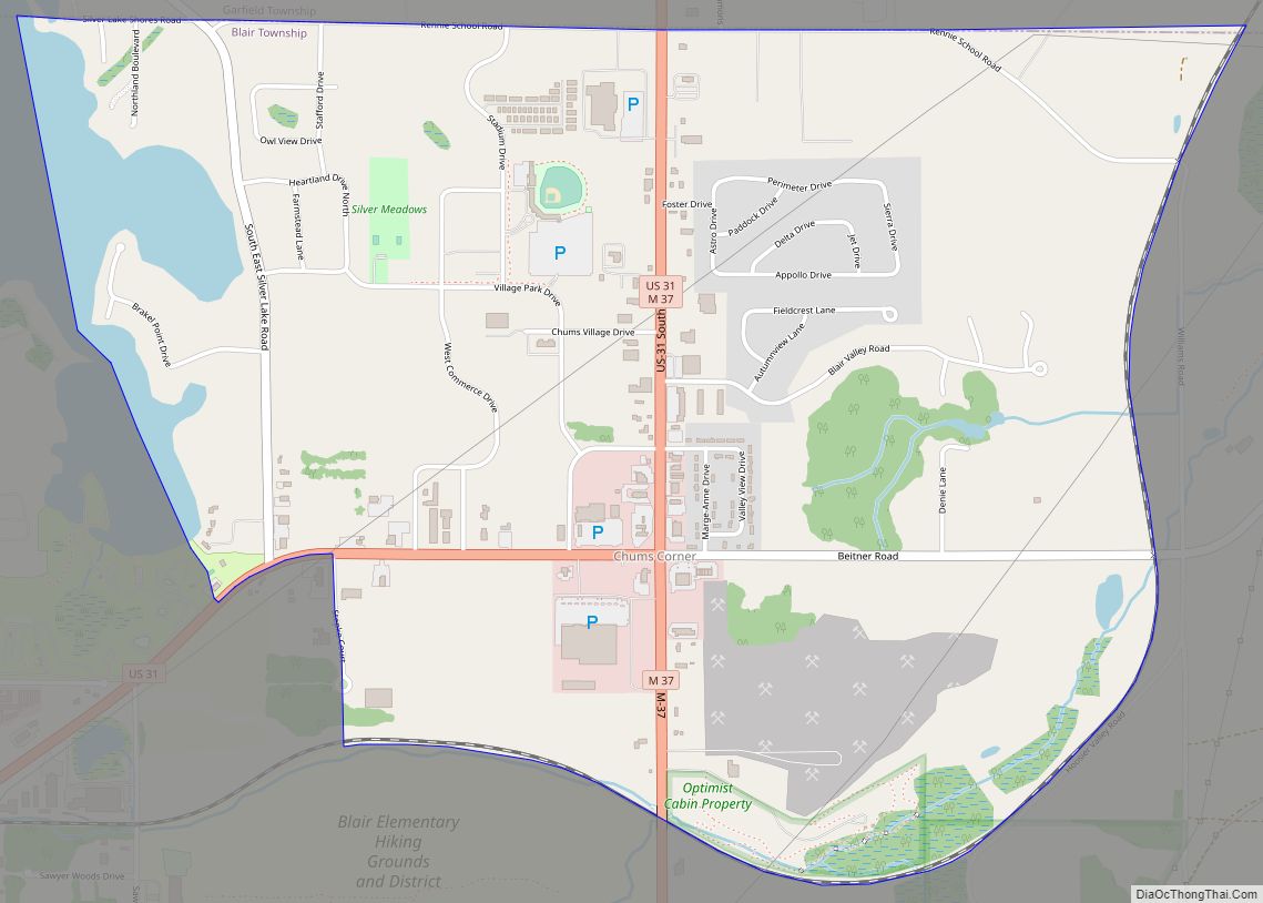
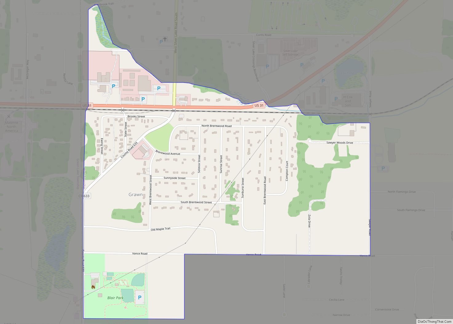
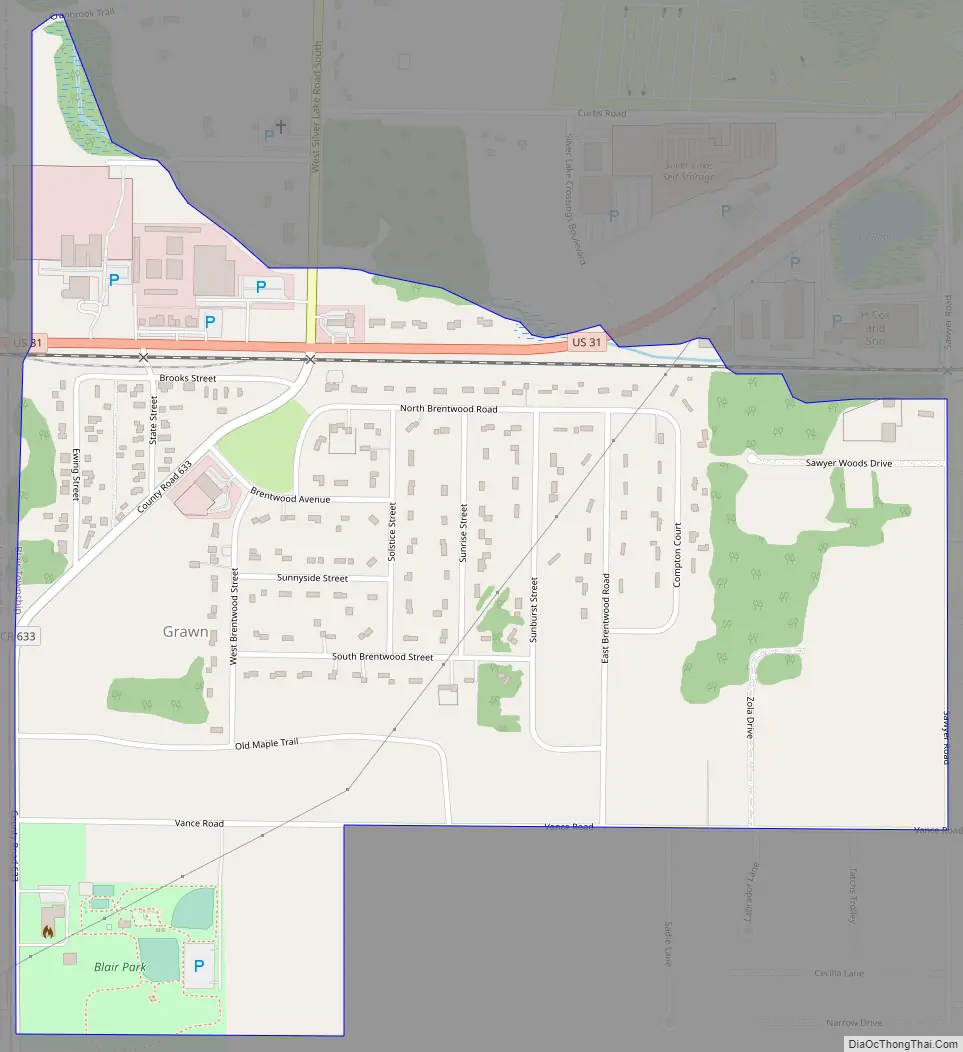
Grawn Road Map
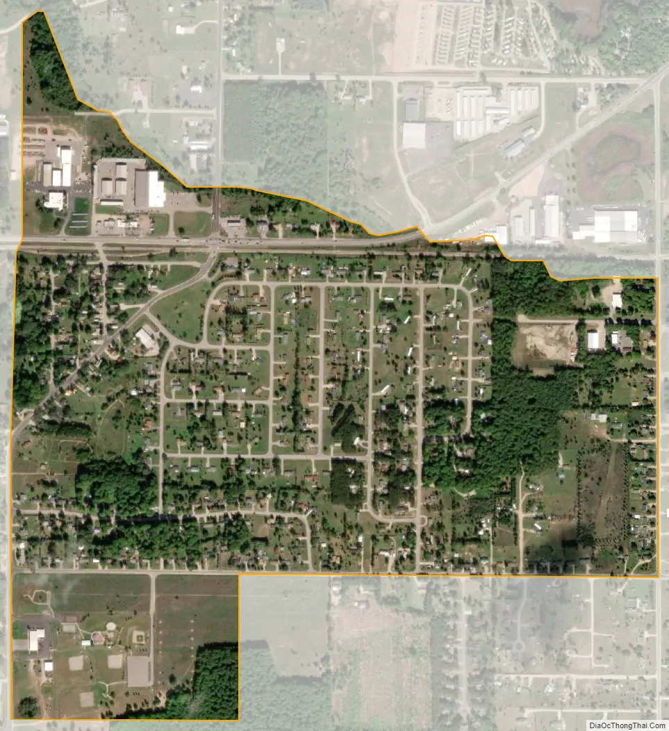
Grawn city Satellite Map
Geography
According to the U.S. Census Bureau, the CDP has a total area of 0.63 square miles (1.63 km), all land.
Major highways
- US 31 runs west–east at this portion of its route through the center of the community.
See also
Map of Michigan State and its subdivision:- Alcona
- Alger
- Allegan
- Alpena
- Antrim
- Arenac
- Baraga
- Barry
- Bay
- Benzie
- Berrien
- Branch
- Calhoun
- Cass
- Charlevoix
- Cheboygan
- Chippewa
- Clare
- Clinton
- Crawford
- Delta
- Dickinson
- Eaton
- Emmet
- Genesee
- Gladwin
- Gogebic
- Grand Traverse
- Gratiot
- Hillsdale
- Houghton
- Huron
- Ingham
- Ionia
- Iosco
- Iron
- Isabella
- Jackson
- Kalamazoo
- Kalkaska
- Kent
- Keweenaw
- Lake
- Lake Hurron
- Lake Michigan
- Lake St. Clair
- Lake Superior
- Lapeer
- Leelanau
- Lenawee
- Livingston
- Luce
- Mackinac
- Macomb
- Manistee
- Marquette
- Mason
- Mecosta
- Menominee
- Midland
- Missaukee
- Monroe
- Montcalm
- Montmorency
- Muskegon
- Newaygo
- Oakland
- Oceana
- Ogemaw
- Ontonagon
- Osceola
- Oscoda
- Otsego
- Ottawa
- Presque Isle
- Roscommon
- Saginaw
- Saint Clair
- Saint Joseph
- Sanilac
- Schoolcraft
- Shiawassee
- Tuscola
- Van Buren
- Washtenaw
- Wayne
- Wexford
- Alabama
- Alaska
- Arizona
- Arkansas
- California
- Colorado
- Connecticut
- Delaware
- District of Columbia
- Florida
- Georgia
- Hawaii
- Idaho
- Illinois
- Indiana
- Iowa
- Kansas
- Kentucky
- Louisiana
- Maine
- Maryland
- Massachusetts
- Michigan
- Minnesota
- Mississippi
- Missouri
- Montana
- Nebraska
- Nevada
- New Hampshire
- New Jersey
- New Mexico
- New York
- North Carolina
- North Dakota
- Ohio
- Oklahoma
- Oregon
- Pennsylvania
- Rhode Island
- South Carolina
- South Dakota
- Tennessee
- Texas
- Utah
- Vermont
- Virginia
- Washington
- West Virginia
- Wisconsin
- Wyoming