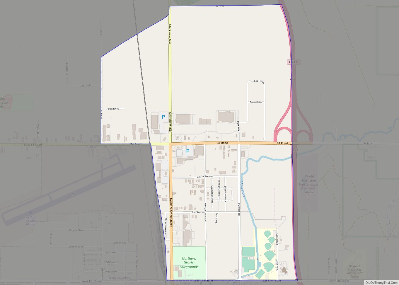
Haring is an unincorporated community and census-designated place (CDP) in Wexford County in the U.S. state of Michigan. The population of the CDP was 335 as of the 2020 census. Haring is located within Haring Charter Township just north of the city of Cadillac.
| Name: | Haring CDP |
|---|---|
| LSAD Code: | 57 |
| LSAD Description: | CDP (suffix) |
| State: | Michigan |
| County: | Wexford County |
| Elevation: | 1,325 ft (404 m) |
| Total Area: | 2.31 sq mi (5.99 km²) |
| Land Area: | 2.31 sq mi (5.99 km²) |
| Water Area: | 0.00 sq mi (0.00 km²) |
| Total Population: | 335 |
| Population Density: | 144.90/sq mi (55.95/km²) |
| Area code: | 231 |
| FIPS code: | 2636590 |
| GNISfeature ID: | 1620128 |
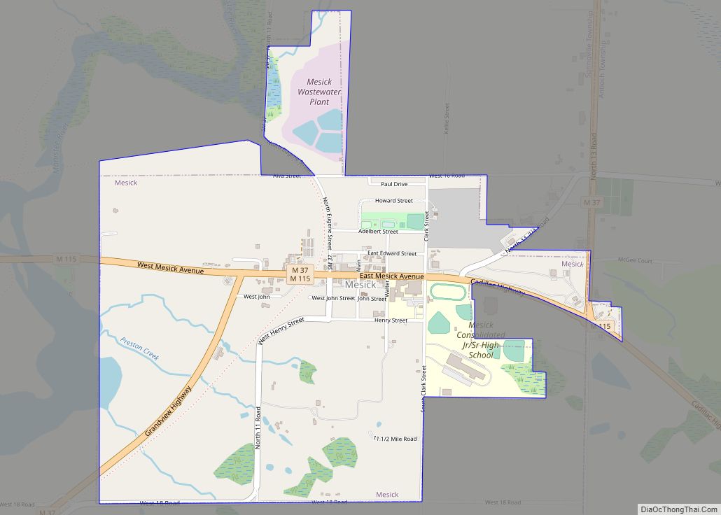
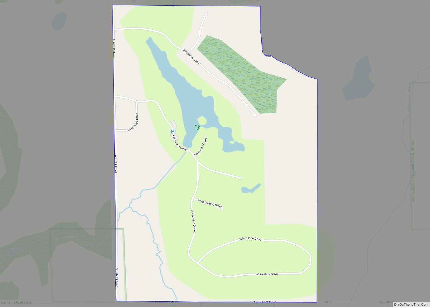
Online Interactive Map
Click on ![]() to view map in "full screen" mode.
to view map in "full screen" mode.
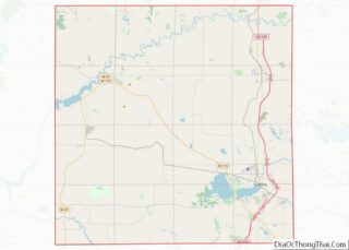
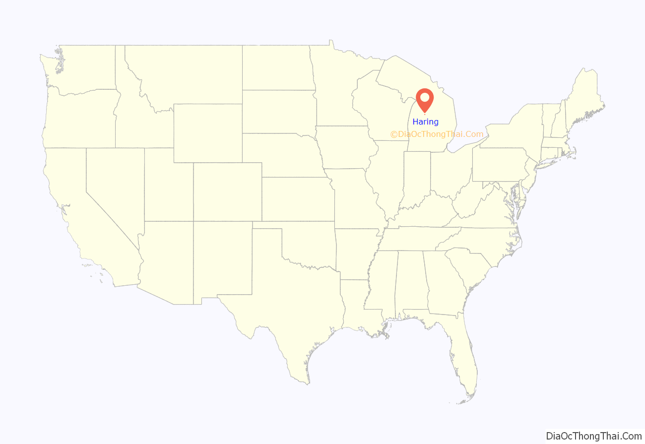
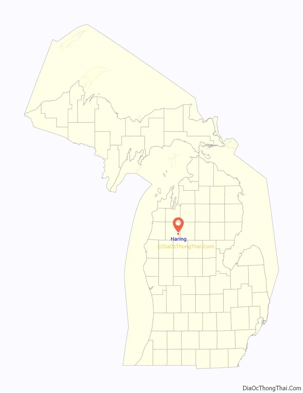
Haring location map. Where is Haring CDP?
History
Haring was first settled as early as 1872 around a mill operated by George A. Mitchell and Johnathon Cobbs. It later served as a railway station along Clam Lake (now known as Lake Cadillac). The early community was known as Linden when the post office was established on December 18, 1872. The post office and community were later renamed Haring after the township, and the post office operated until November 14, 1891.
The community of Haring was listed as a newly-organized census-designated place for the 2010 census, meaning it now has officially defined boundaries and population statistics for the first time.
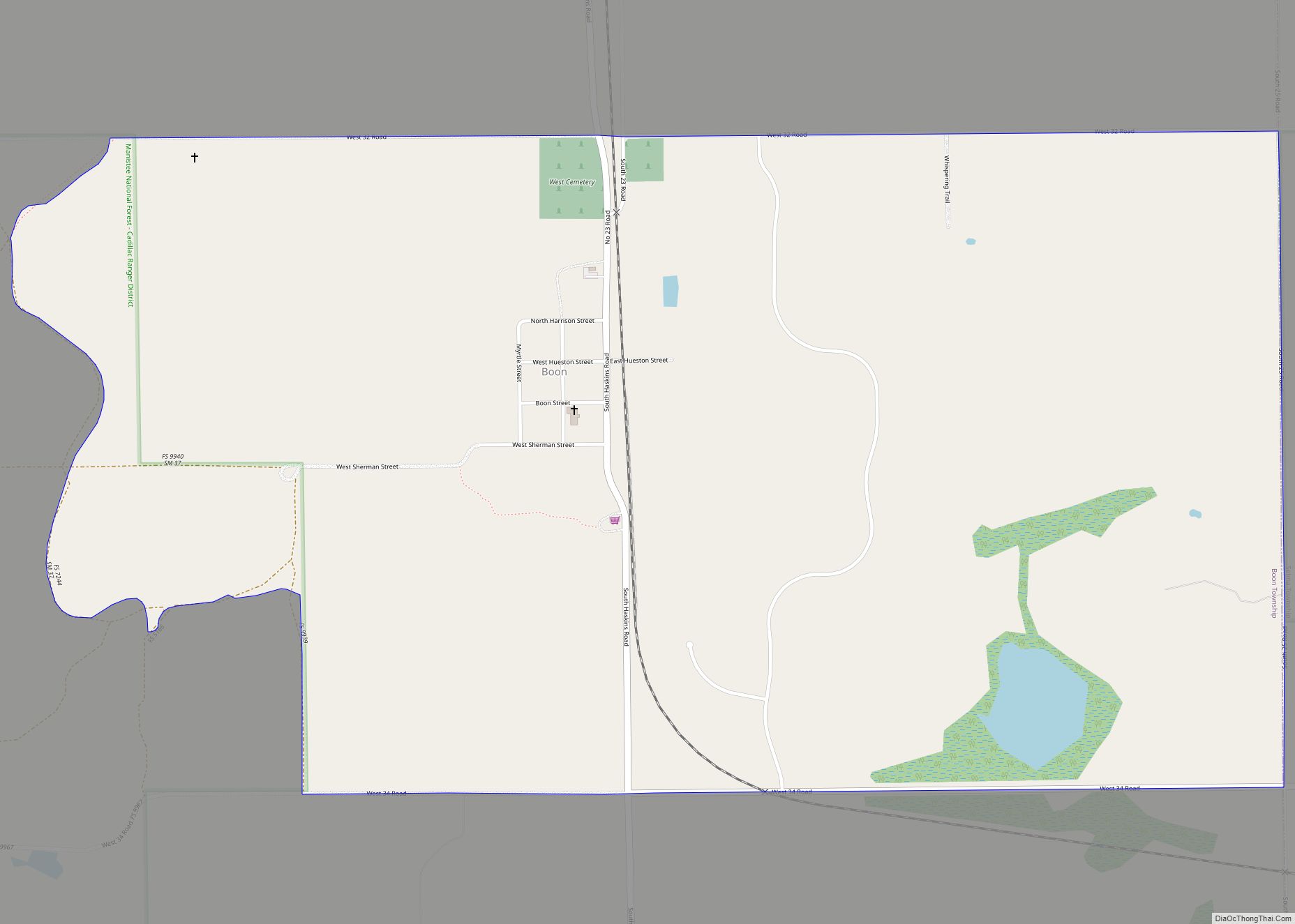
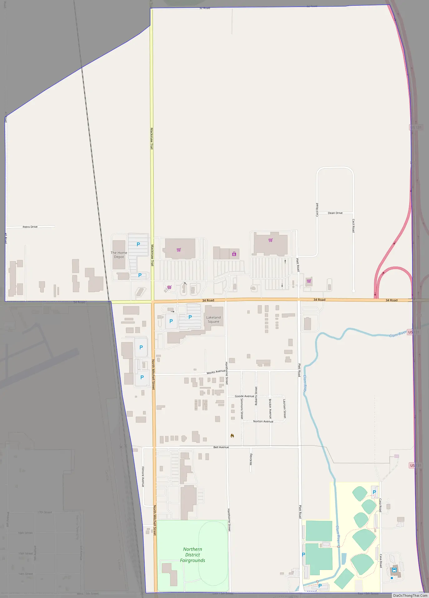
Haring Road Map
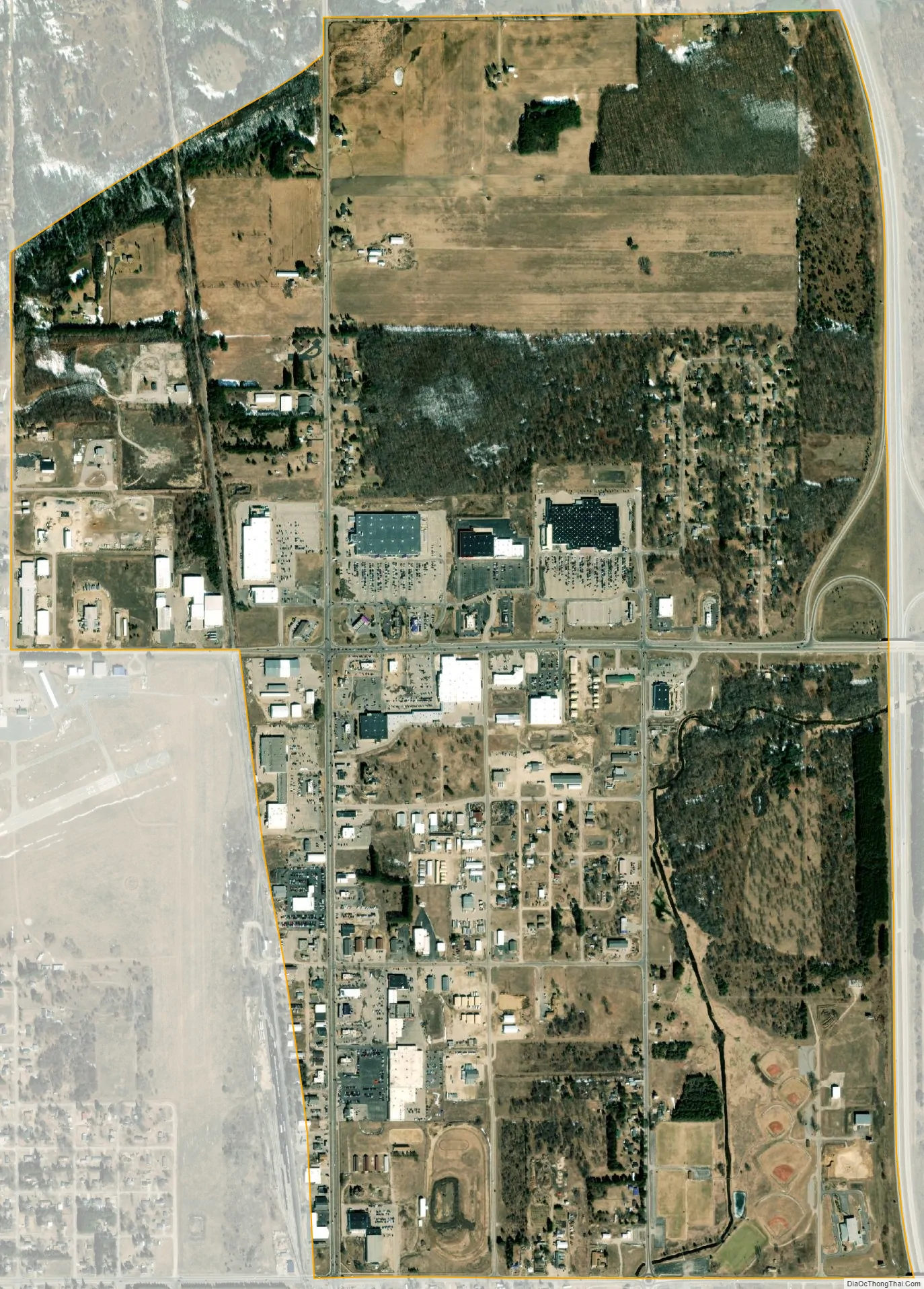
Haring city Satellite Map
Geography
According to the U.S. Census Bureau, the community has an area of 2.31 square miles (5.98 km), all land.
Major highways
- US 131 runs south–north through the eastern portion of the community.
- Bus. US 131 is a business route that runs through Cadillac and north into Haring.
See also
Map of Michigan State and its subdivision:- Alcona
- Alger
- Allegan
- Alpena
- Antrim
- Arenac
- Baraga
- Barry
- Bay
- Benzie
- Berrien
- Branch
- Calhoun
- Cass
- Charlevoix
- Cheboygan
- Chippewa
- Clare
- Clinton
- Crawford
- Delta
- Dickinson
- Eaton
- Emmet
- Genesee
- Gladwin
- Gogebic
- Grand Traverse
- Gratiot
- Hillsdale
- Houghton
- Huron
- Ingham
- Ionia
- Iosco
- Iron
- Isabella
- Jackson
- Kalamazoo
- Kalkaska
- Kent
- Keweenaw
- Lake
- Lake Hurron
- Lake Michigan
- Lake St. Clair
- Lake Superior
- Lapeer
- Leelanau
- Lenawee
- Livingston
- Luce
- Mackinac
- Macomb
- Manistee
- Marquette
- Mason
- Mecosta
- Menominee
- Midland
- Missaukee
- Monroe
- Montcalm
- Montmorency
- Muskegon
- Newaygo
- Oakland
- Oceana
- Ogemaw
- Ontonagon
- Osceola
- Oscoda
- Otsego
- Ottawa
- Presque Isle
- Roscommon
- Saginaw
- Saint Clair
- Saint Joseph
- Sanilac
- Schoolcraft
- Shiawassee
- Tuscola
- Van Buren
- Washtenaw
- Wayne
- Wexford
- Alabama
- Alaska
- Arizona
- Arkansas
- California
- Colorado
- Connecticut
- Delaware
- District of Columbia
- Florida
- Georgia
- Hawaii
- Idaho
- Illinois
- Indiana
- Iowa
- Kansas
- Kentucky
- Louisiana
- Maine
- Maryland
- Massachusetts
- Michigan
- Minnesota
- Mississippi
- Missouri
- Montana
- Nebraska
- Nevada
- New Hampshire
- New Jersey
- New Mexico
- New York
- North Carolina
- North Dakota
- Ohio
- Oklahoma
- Oregon
- Pennsylvania
- Rhode Island
- South Carolina
- South Dakota
- Tennessee
- Texas
- Utah
- Vermont
- Virginia
- Washington
- West Virginia
- Wisconsin
- Wyoming