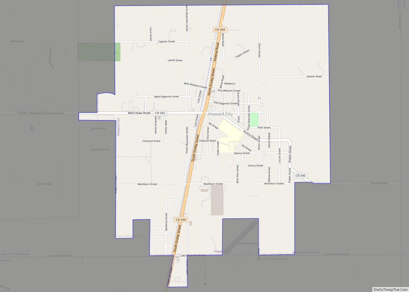
Howard City is a village in Montcalm County in the U.S. state of Michigan. The population was 1,808 at the 2010 census. The village is within Reynolds Township.
| Name: | Howard City village |
|---|---|
| LSAD Code: | 47 |
| LSAD Description: | village (suffix) |
| State: | Michigan |
| County: | Montcalm County |
| Founded: | 1868 |
| Incorporated: | 1873 (village) |
| Elevation: | 879 ft (268 m) |
| Total Area: | 2.45 sq mi (6.34 km²) |
| Land Area: | 2.42 sq mi (6.25 km²) |
| Water Area: | 0.03 sq mi (0.09 km²) |
| Total Population: | 1,835 |
| Population Density: | 759.83/sq mi (293.41/km²) |
| ZIP code: | 49329 |
| Area code: | 231 |
| FIPS code: | 2639500 |
| GNISfeature ID: | 2398547 |
Online Interactive Map
Click on ![]() to view map in "full screen" mode.
to view map in "full screen" mode.
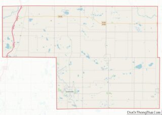
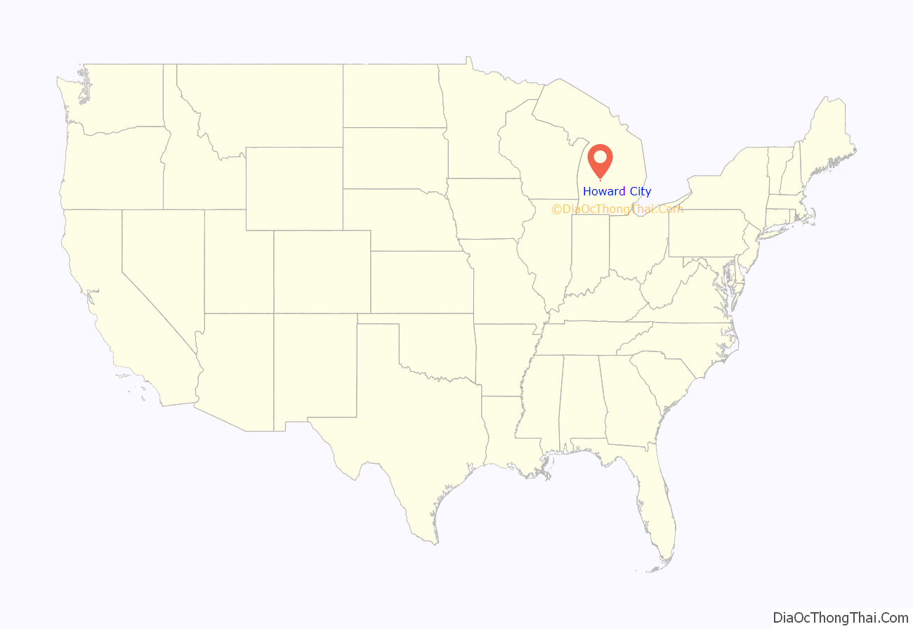
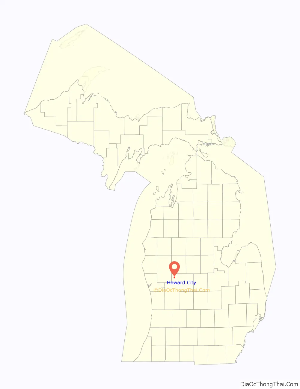
Howard City location map. Where is Howard City village?
History
Benjamin Ensley owned the land on which he, E. W. Muenscher, and Mr. Shaw began the settlement that Muenscher platted in 1868. It was named for William A. Howard, a Detroit railroad attorney. The Detroit, Grand Rapids and Western Railroad depot opened in 1869. A post office was established on January 12, 1870, with John B. Spencer as the first postmaster. It incorporated as a village in 1873. The post office name was shortened to “Howard” on February 2, 1895, but restored to Howard City on January 19, 1899.
Main street was initially constructed on Ensley Street, which was named after early settler Benjamin Ensley. In 1883, however, many of the wooden buildings on Ensley street burned down. Main Street was then shifted over to Edgerton Street, where it still stands today. The Hudson Knife factory and The Skinner and Steenman sideboard factory were two of the earliest businesses. Later, Hudson Knife Co. went through changes and became the Joslin and eventually Olsen Knife Company, which had the somewhat famous jingle, “Fatty Fatty run for your life, here comes Skinny with an Olsen Knife.” Howard City schools were combined with Sand Lake schools to the south in 1962, and renamed Tri County, because students from Kent, Montcalm, and Newaygo counties all attended. The school still runs under the same moniker today.
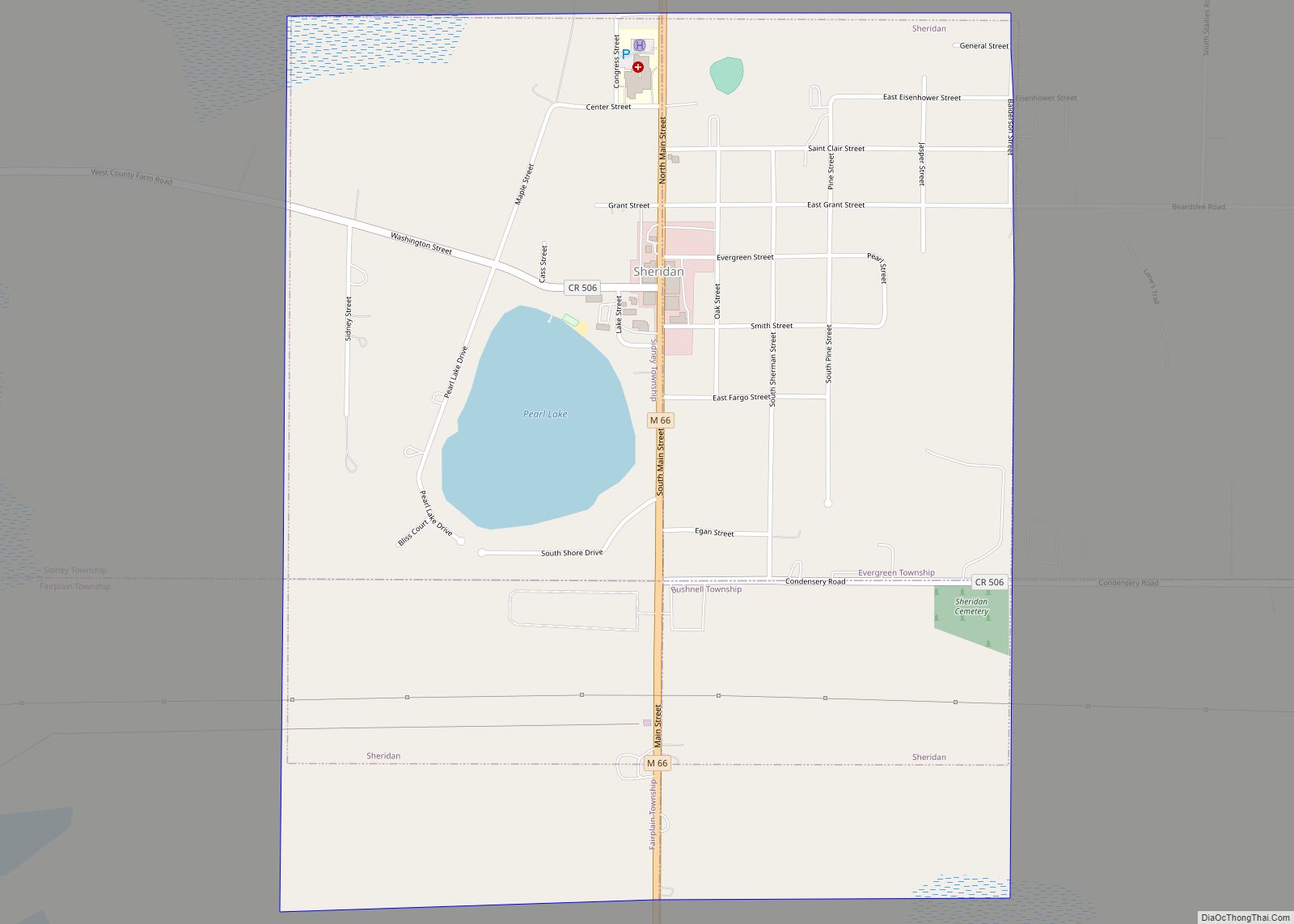
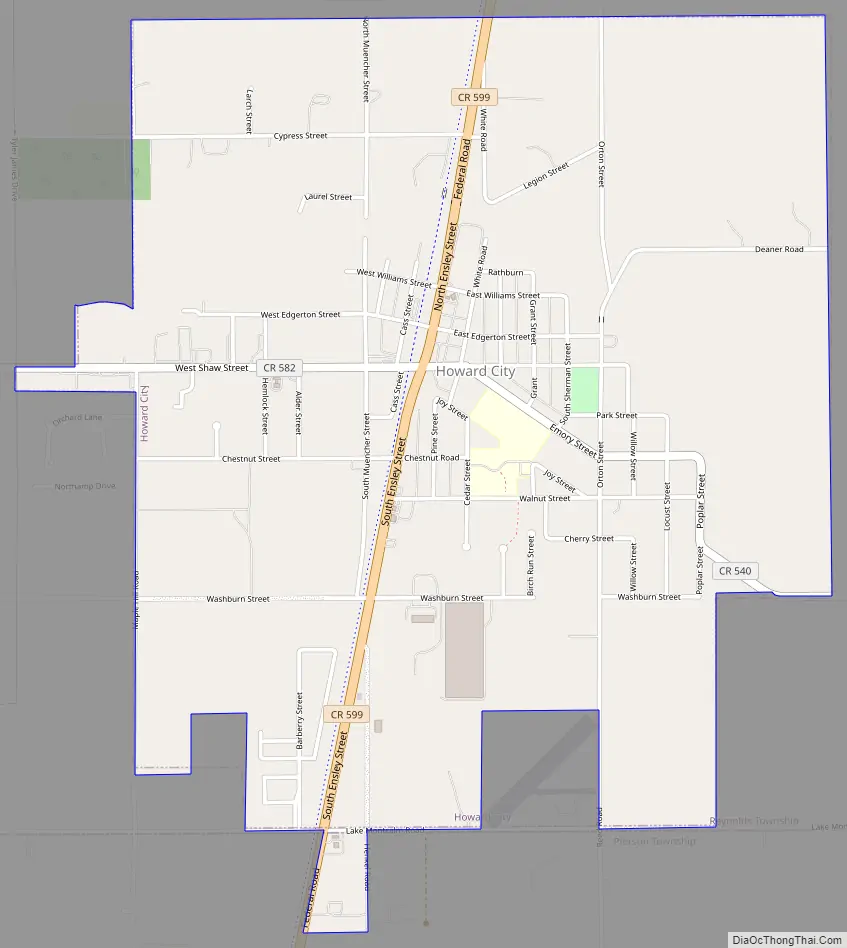
Howard City Road Map
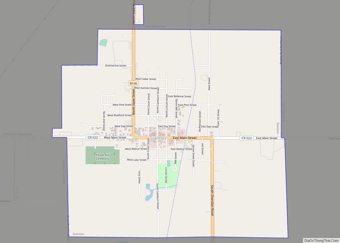
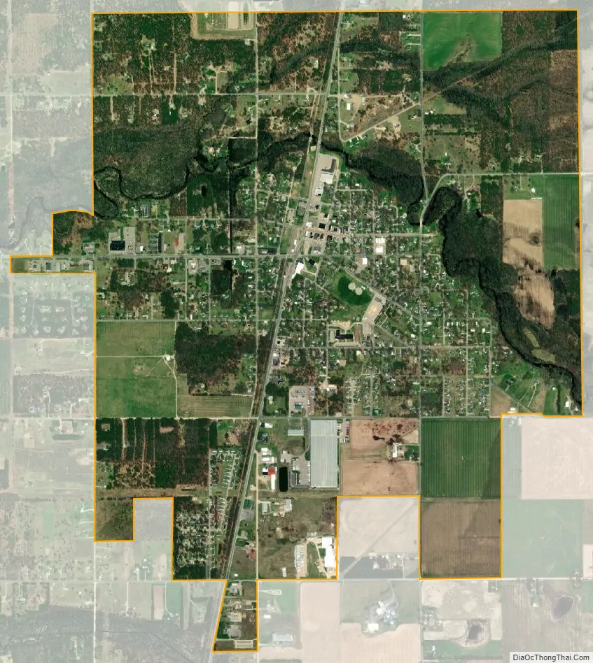
Howard City city Satellite Map
Geography
According to the United States Census Bureau, the village has a total area of 2.56 square miles (6.63 km), of which, 2.53 square miles (6.55 km) of it is land and 0.03 square miles (0.08 km) is water.
The Howard City post office, with ZIP code 49329, also serves much of southern Reynolds Township, as well as a large part of Winfield Township to the east, a small area of Maple Valley Township to the southeast, portions of Pierson Township to the south. It also serves parts of Croton Township to the west and Ensley Township to the southwest in Newaygo County.
See also
Map of Michigan State and its subdivision:- Alcona
- Alger
- Allegan
- Alpena
- Antrim
- Arenac
- Baraga
- Barry
- Bay
- Benzie
- Berrien
- Branch
- Calhoun
- Cass
- Charlevoix
- Cheboygan
- Chippewa
- Clare
- Clinton
- Crawford
- Delta
- Dickinson
- Eaton
- Emmet
- Genesee
- Gladwin
- Gogebic
- Grand Traverse
- Gratiot
- Hillsdale
- Houghton
- Huron
- Ingham
- Ionia
- Iosco
- Iron
- Isabella
- Jackson
- Kalamazoo
- Kalkaska
- Kent
- Keweenaw
- Lake
- Lake Hurron
- Lake Michigan
- Lake St. Clair
- Lake Superior
- Lapeer
- Leelanau
- Lenawee
- Livingston
- Luce
- Mackinac
- Macomb
- Manistee
- Marquette
- Mason
- Mecosta
- Menominee
- Midland
- Missaukee
- Monroe
- Montcalm
- Montmorency
- Muskegon
- Newaygo
- Oakland
- Oceana
- Ogemaw
- Ontonagon
- Osceola
- Oscoda
- Otsego
- Ottawa
- Presque Isle
- Roscommon
- Saginaw
- Saint Clair
- Saint Joseph
- Sanilac
- Schoolcraft
- Shiawassee
- Tuscola
- Van Buren
- Washtenaw
- Wayne
- Wexford
- Alabama
- Alaska
- Arizona
- Arkansas
- California
- Colorado
- Connecticut
- Delaware
- District of Columbia
- Florida
- Georgia
- Hawaii
- Idaho
- Illinois
- Indiana
- Iowa
- Kansas
- Kentucky
- Louisiana
- Maine
- Maryland
- Massachusetts
- Michigan
- Minnesota
- Mississippi
- Missouri
- Montana
- Nebraska
- Nevada
- New Hampshire
- New Jersey
- New Mexico
- New York
- North Carolina
- North Dakota
- Ohio
- Oklahoma
- Oregon
- Pennsylvania
- Rhode Island
- South Carolina
- South Dakota
- Tennessee
- Texas
- Utah
- Vermont
- Virginia
- Washington
- West Virginia
- Wisconsin
- Wyoming