Hudson is a city in Lenawee County in the U.S. state of Michigan. The population was 2,307 at the 2010 census. The city is mostly surrounded by Hudson Township, but the two are administered autonomously.
| Name: | Hudson city |
|---|---|
| LSAD Code: | 25 |
| LSAD Description: | city (suffix) |
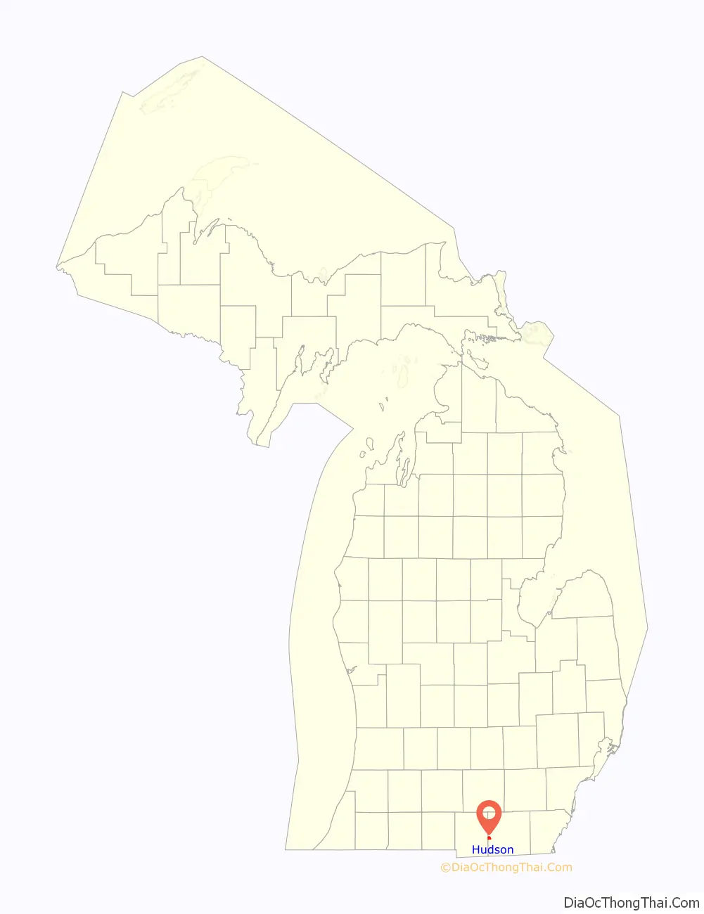
| State: | Michigan |
| County: | Lenawee County |
| Incorporated: | 1893 |
| Elevation: | 915 ft (279 m) |
| Total Area: | 2.20 sq mi (5.69 km²) |
| Land Area: | 2.19 sq mi (5.68 km²) |
| Water Area: | 0.01 sq mi (0.01 km²) |
| Total Population: | 2,415 |
| Population Density: | 1,101.73/sq mi (425.30/km²) |
| Area code: | 517 |
| FIPS code: | 2639720 |
| GNISfeature ID: | 0628761 |
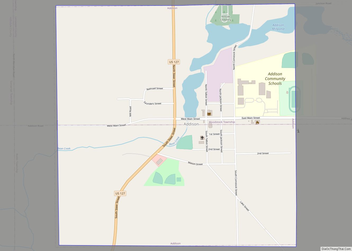
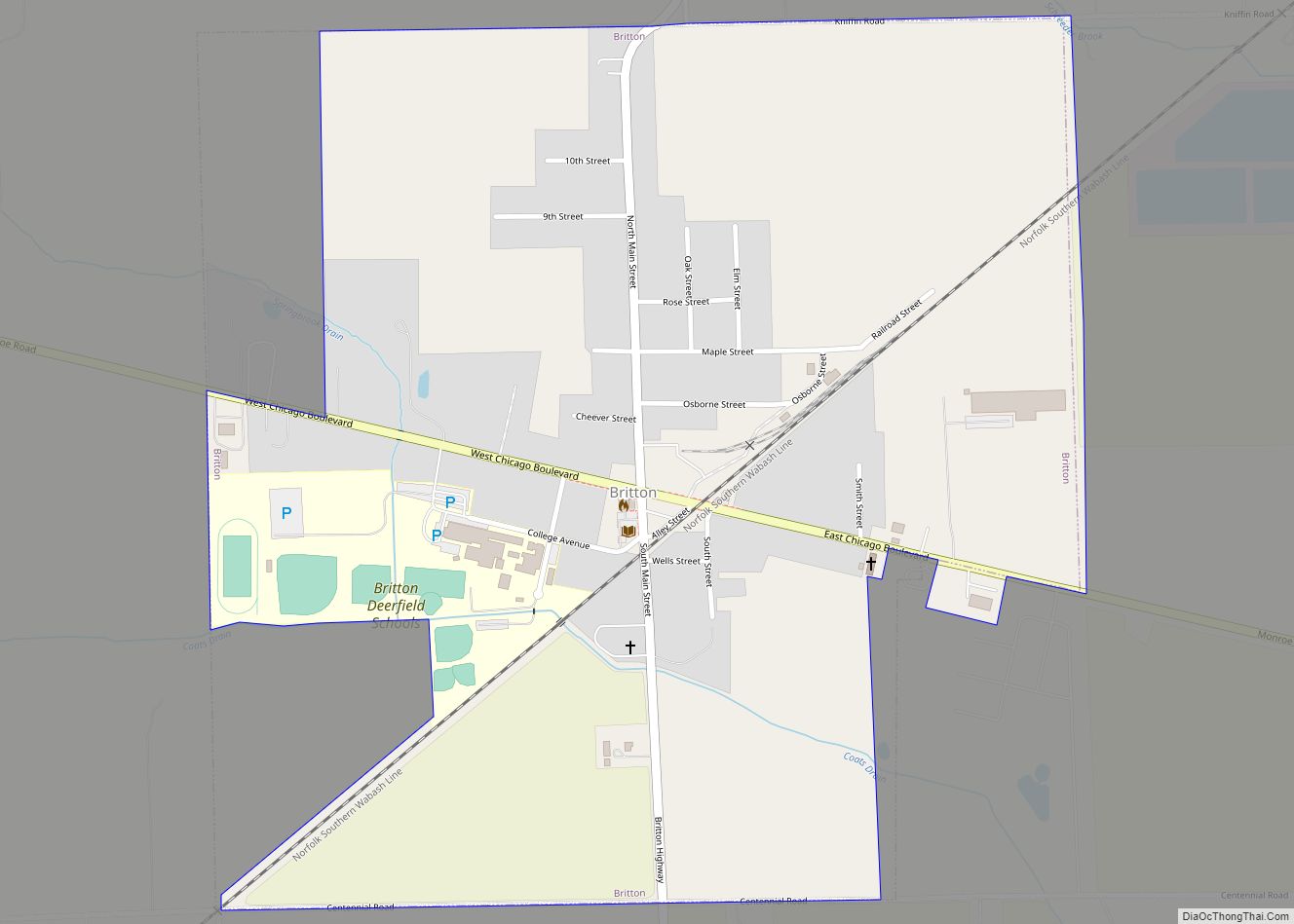
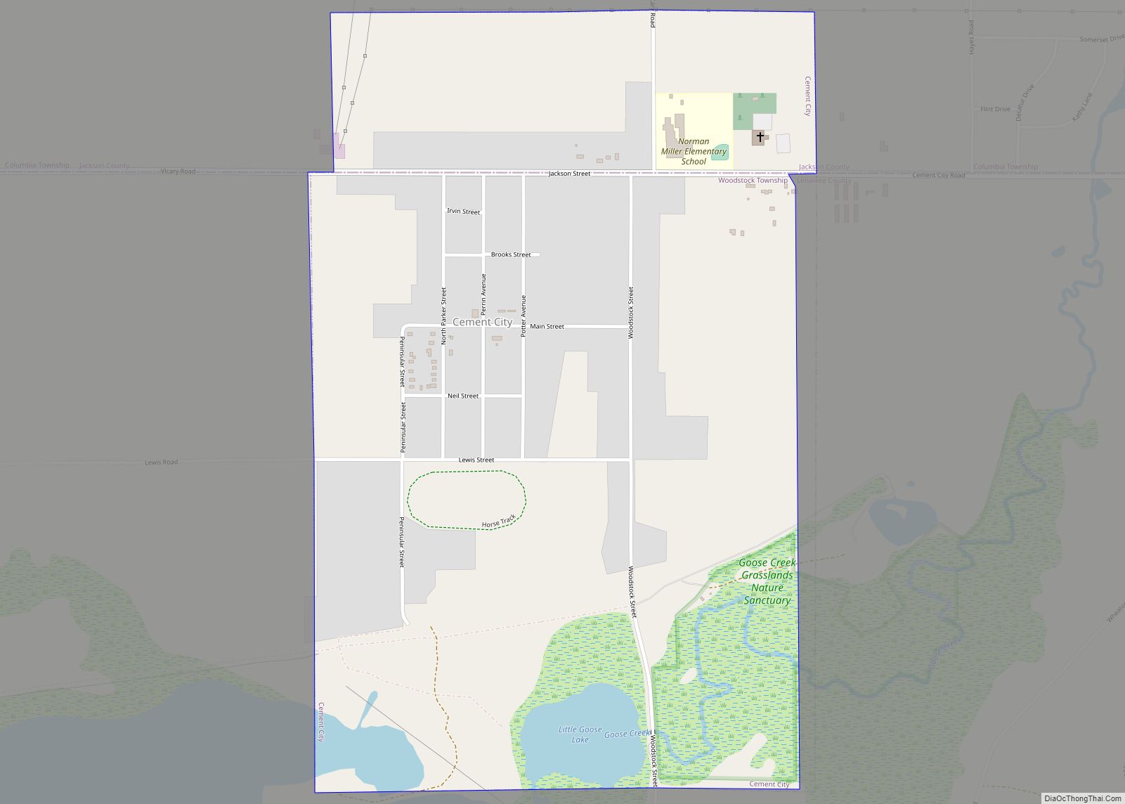
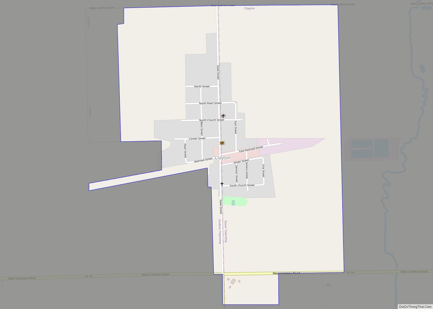
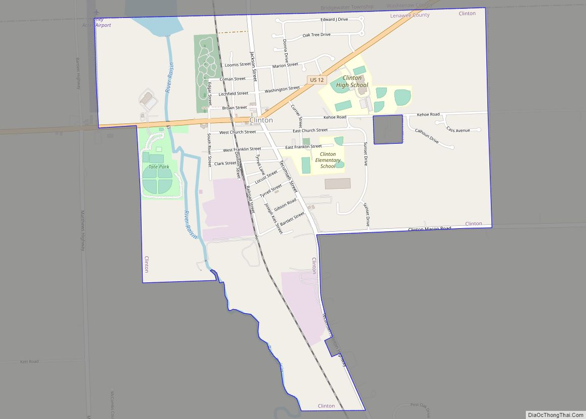
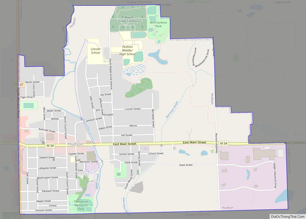
Online Interactive Map
Click on ![]() to view map in "full screen" mode.
to view map in "full screen" mode.
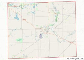
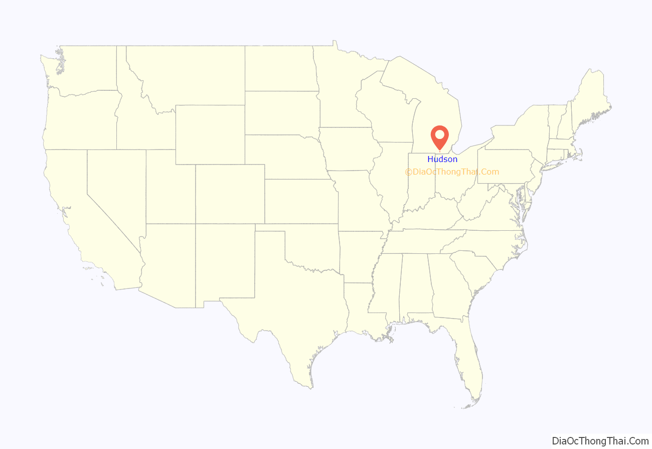
Hudson location map. Where is Hudson city?
History
Hudson was named for Dr. Daniel Hudson, an original landowner. The city’s motto is “Small Town Big Heart.”
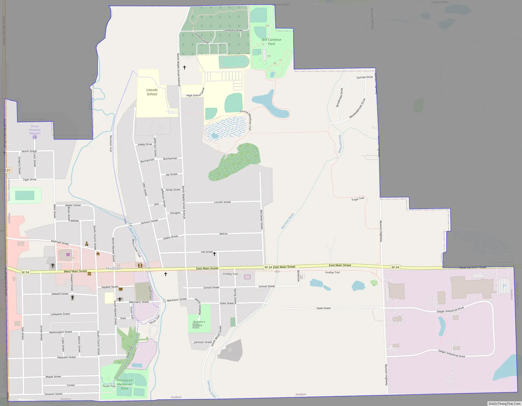
Hudson Road Map
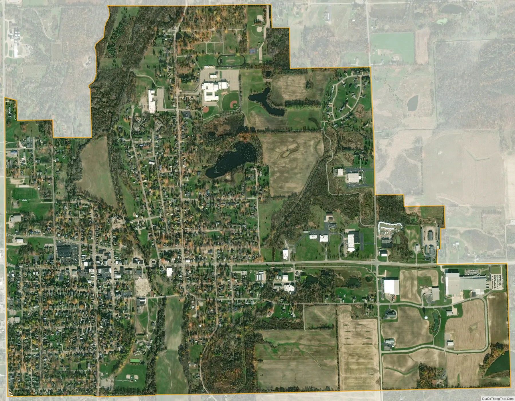
Hudson city Satellite Map
Geography
According to the United States Census Bureau, the city has a total area of 2.20 square miles (5.70 km), of which 2.19 square miles (5.67 km) is land and 0.01 square miles (0.03 km) is water.
Major highways
- M-34 (Main Street) runs through downtown Hudson.
- US 127 intersects M-34 on the western border.
See also
Map of Michigan State and its subdivision:- Alcona
- Alger
- Allegan
- Alpena
- Antrim
- Arenac
- Baraga
- Barry
- Bay
- Benzie
- Berrien
- Branch
- Calhoun
- Cass
- Charlevoix
- Cheboygan
- Chippewa
- Clare
- Clinton
- Crawford
- Delta
- Dickinson
- Eaton
- Emmet
- Genesee
- Gladwin
- Gogebic
- Grand Traverse
- Gratiot
- Hillsdale
- Houghton
- Huron
- Ingham
- Ionia
- Iosco
- Iron
- Isabella
- Jackson
- Kalamazoo
- Kalkaska
- Kent
- Keweenaw
- Lake
- Lake Hurron
- Lake Michigan
- Lake St. Clair
- Lake Superior
- Lapeer
- Leelanau
- Lenawee
- Livingston
- Luce
- Mackinac
- Macomb
- Manistee
- Marquette
- Mason
- Mecosta
- Menominee
- Midland
- Missaukee
- Monroe
- Montcalm
- Montmorency
- Muskegon
- Newaygo
- Oakland
- Oceana
- Ogemaw
- Ontonagon
- Osceola
- Oscoda
- Otsego
- Ottawa
- Presque Isle
- Roscommon
- Saginaw
- Saint Clair
- Saint Joseph
- Sanilac
- Schoolcraft
- Shiawassee
- Tuscola
- Van Buren
- Washtenaw
- Wayne
- Wexford
- Alabama
- Alaska
- Arizona
- Arkansas
- California
- Colorado
- Connecticut
- Delaware
- District of Columbia
- Florida
- Georgia
- Hawaii
- Idaho
- Illinois
- Indiana
- Iowa
- Kansas
- Kentucky
- Louisiana
- Maine
- Maryland
- Massachusetts
- Michigan
- Minnesota
- Mississippi
- Missouri
- Montana
- Nebraska
- Nevada
- New Hampshire
- New Jersey
- New Mexico
- New York
- North Carolina
- North Dakota
- Ohio
- Oklahoma
- Oregon
- Pennsylvania
- Rhode Island
- South Carolina
- South Dakota
- Tennessee
- Texas
- Utah
- Vermont
- Virginia
- Washington
- West Virginia
- Wisconsin
- Wyoming