Jasper is an unincorporated community and census-designated place (CDP) in Lenawee County in the U.S. state of Michigan. The CDP had a population of 412 at the 2010 census. Jasper is within Fairfield Township and has its own post office with the 49248 ZIP Code.
| Name: | Jasper CDP |
|---|---|
| LSAD Code: | 57 |
| LSAD Description: | CDP (suffix) |
| State: | Michigan |
| County: | Lenawee County |
| Elevation: | 735 ft (224 m) |
| Total Area: | 4.03 sq mi (10.44 km²) |
| Land Area: | 4.03 sq mi (10.44 km²) |
| Water Area: | 0.00 sq mi (0.00 km²) |
| Total Population: | 371 |
| Population Density: | 92.01/sq mi (35.53/km²) |
| Area code: | 517 |
| FIPS code: | 2641540 |
| GNISfeature ID: | 629217 |
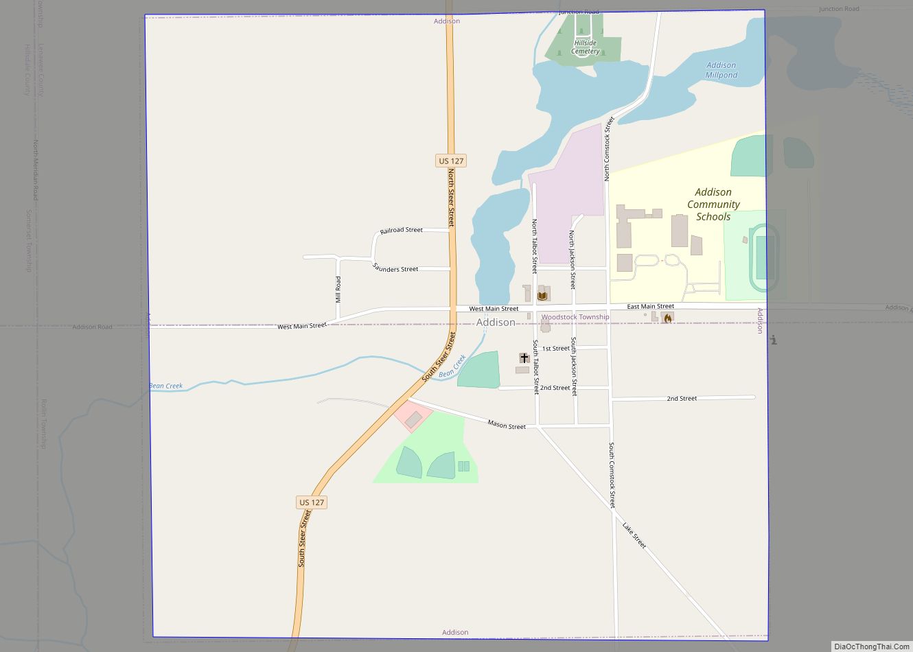
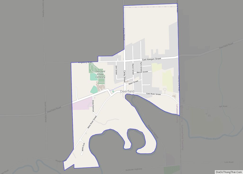
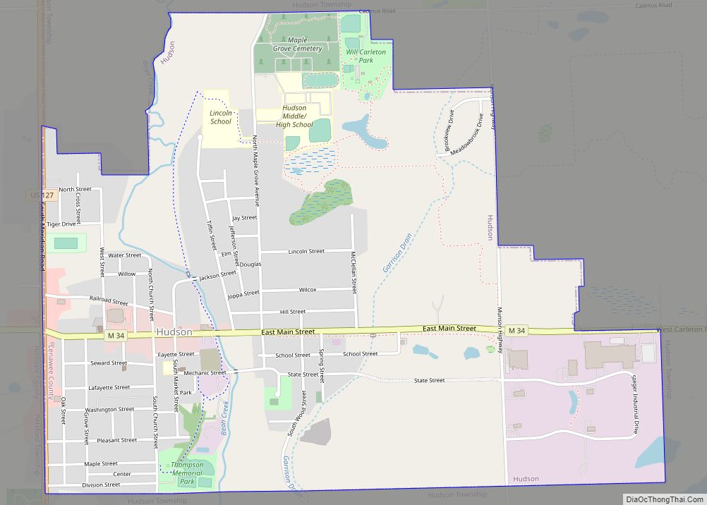
Online Interactive Map
Click on ![]() to view map in "full screen" mode.
to view map in "full screen" mode.
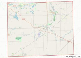
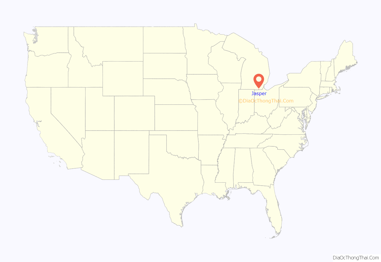
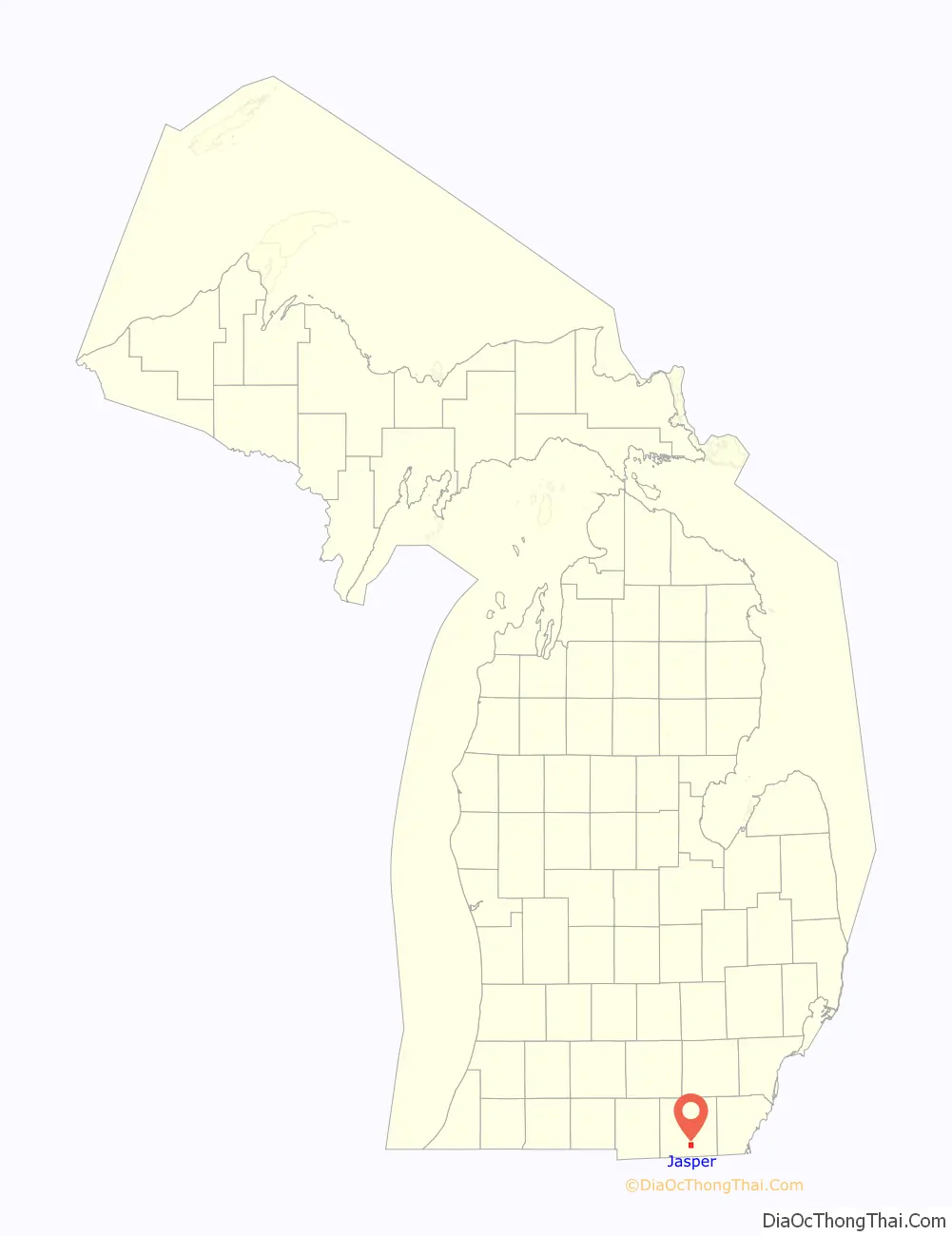
Jasper location map. Where is Jasper CDP?
History
The first European settler in Jasper was Andrew Millet, arriving in 1824. A post office was opened June 18, 1874, with Henry Ferguson as the first postmaster. The Lake Shore and Michigan Southern Railway had a depot in Jasper. The station was at first known as Fairfield. Jasper was one of the largest populated areas in Lenawee County prior to 1908 accounting for about 8,000 residents. A Smallpox epidemic wiped out over half of the residents and most of the homes were burned to the ground in the southern two thirds of the town to try to stop the epidemic.
The community of Jasper was listed as a newly-organized census-designated place for the 2010 census, meaning it now has officially defined boundaries and population statistics for the first time.
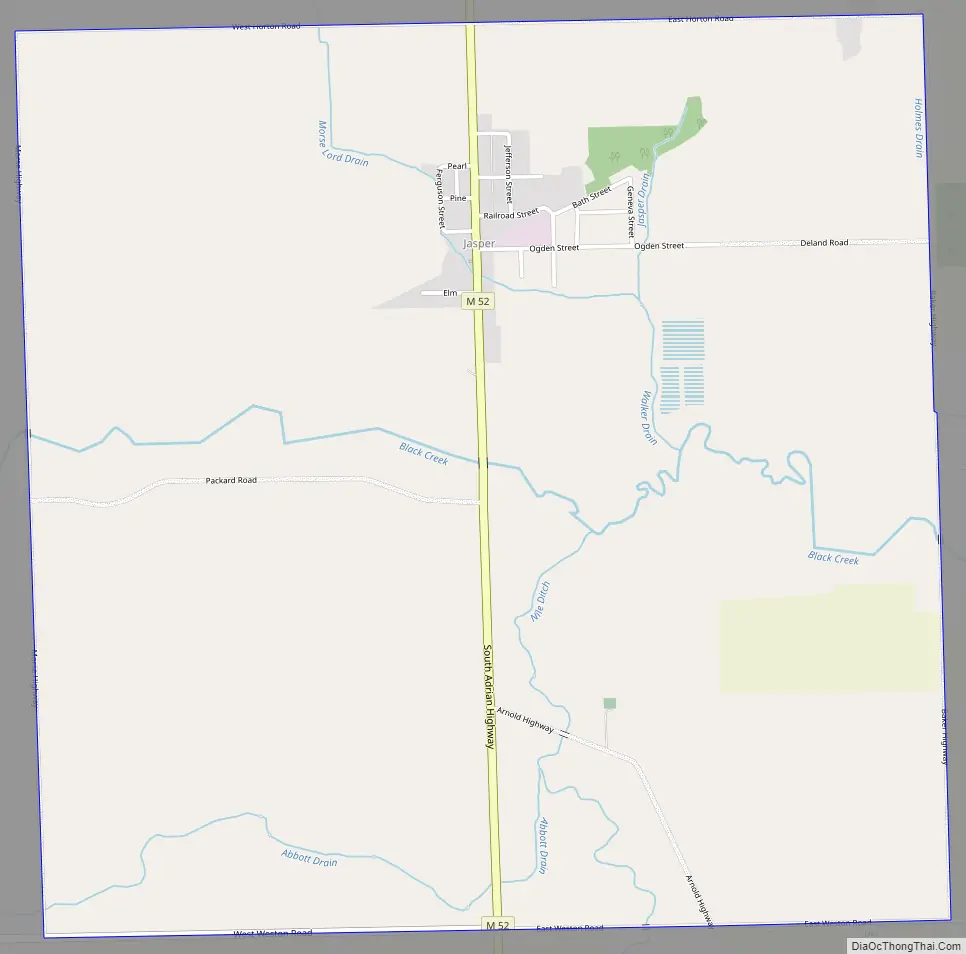
Jasper Road Map
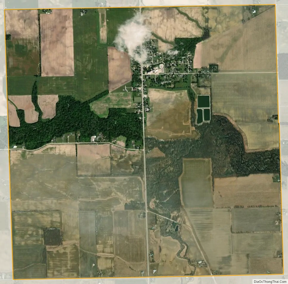
Jasper city Satellite Map
Geography
According to the U.S. Census Bureau, the community has an area of 4.03 square miles (10.44 km), all of it land.
Major highways
- M-52, known locally as Adrian Highway, runs south–north through the center of the community.
See also
Map of Michigan State and its subdivision:- Alcona
- Alger
- Allegan
- Alpena
- Antrim
- Arenac
- Baraga
- Barry
- Bay
- Benzie
- Berrien
- Branch
- Calhoun
- Cass
- Charlevoix
- Cheboygan
- Chippewa
- Clare
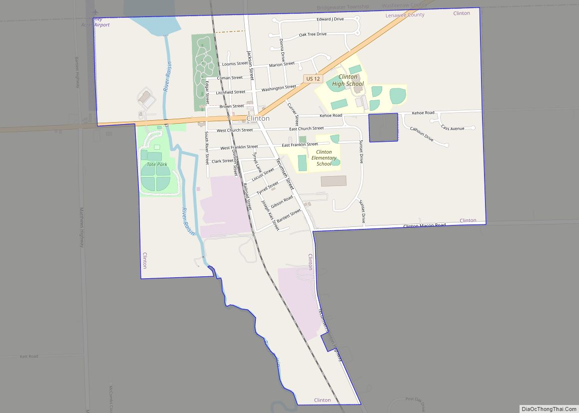
- Clinton
- Crawford
- Delta
- Dickinson
- Eaton
- Emmet
- Genesee
- Gladwin
- Gogebic
- Grand Traverse
- Gratiot
- Hillsdale
- Houghton
- Huron
- Ingham
- Ionia
- Iosco
- Iron
- Isabella
- Jackson
- Kalamazoo
- Kalkaska
- Kent
- Keweenaw
- Lake
- Lake Hurron
- Lake Michigan
- Lake St. Clair
- Lake Superior
- Lapeer
- Leelanau
- Lenawee
- Livingston
- Luce
- Mackinac
- Macomb
- Manistee
- Marquette
- Mason
- Mecosta
- Menominee
- Midland
- Missaukee
- Monroe
- Montcalm
- Montmorency
- Muskegon
- Newaygo
- Oakland
- Oceana
- Ogemaw
- Ontonagon
- Osceola
- Oscoda
- Otsego
- Ottawa
- Presque Isle
- Roscommon
- Saginaw
- Saint Clair
- Saint Joseph
- Sanilac
- Schoolcraft
- Shiawassee
- Tuscola
- Van Buren
- Washtenaw
- Wayne
- Wexford
- Alabama
- Alaska
- Arizona
- Arkansas
- California
- Colorado
- Connecticut
- Delaware
- District of Columbia
- Florida
- Georgia
- Hawaii
- Idaho
- Illinois
- Indiana
- Iowa
- Kansas
- Kentucky
- Louisiana
- Maine
- Maryland
- Massachusetts
- Michigan
- Minnesota
- Mississippi
- Missouri
- Montana
- Nebraska
- Nevada
- New Hampshire
- New Jersey
- New Mexico
- New York
- North Carolina
- North Dakota
- Ohio
- Oklahoma
- Oregon
- Pennsylvania
- Rhode Island
- South Carolina
- South Dakota
- Tennessee
- Texas
- Utah
- Vermont
- Virginia
- Washington
- West Virginia
- Wisconsin
- Wyoming