Lewiston is an unincorporated community in Montmorency County, Michigan, United States. It is a census-designated place (CDP) used for statistical purposes. The population was 996 at the 2020 census.
| Name: | Lewiston CDP |
|---|---|
| LSAD Code: | 57 |
| LSAD Description: | CDP (suffix) |
| State: | Michigan |
| County: | Montmorency County |
| Elevation: | 1,243 ft (379 m) |
| Total Area: | 4.12 sq mi (10.66 km²) |
| Land Area: | 2.83 sq mi (7.34 km²) |
| Water Area: | 1.28 sq mi (3.32 km²) |
| Total Population: | 996 |
| Population Density: | 351.45/sq mi (135.68/km²) |
| ZIP code: | 49756 |
| Area code: | 989 |
| FIPS code: | 2647260 |
| GNISfeature ID: | 0630355 |
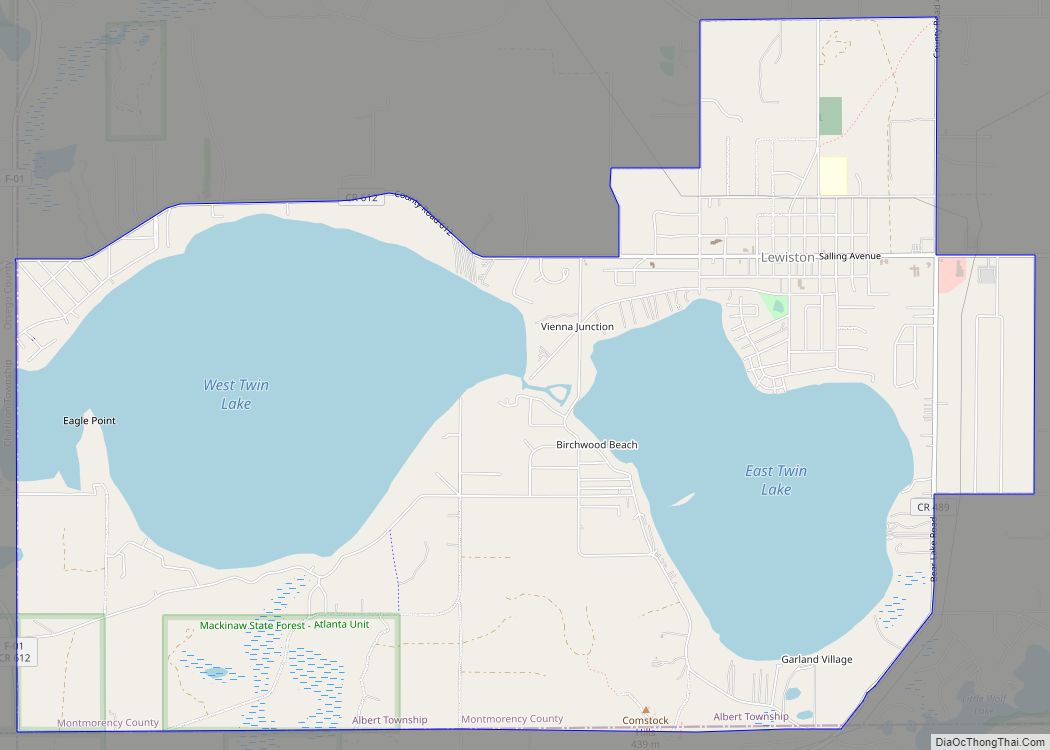
Online Interactive Map
Click on ![]() to view map in "full screen" mode.
to view map in "full screen" mode.
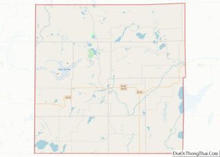
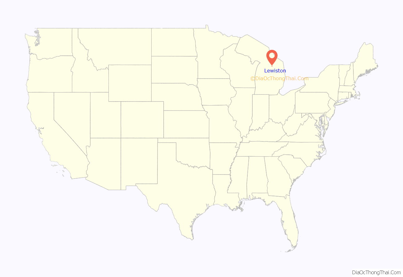
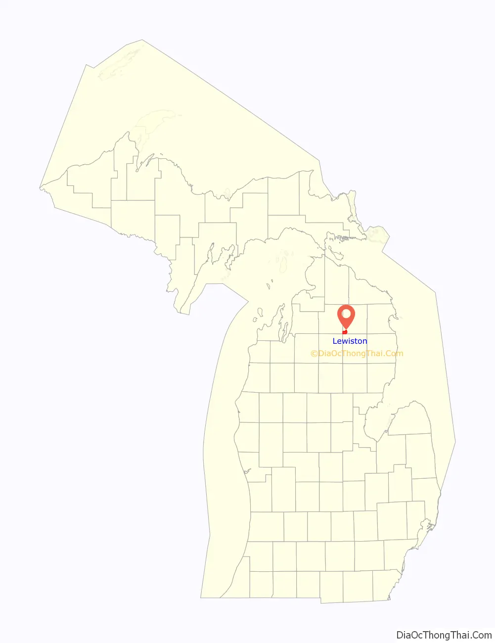
Lewiston location map. Where is Lewiston CDP?
History
Lewiston was formally established in 1892. The Lewiston post office first opened on April 25, 1892. The Lewiston Area Historical Society Museum is in an 1892 original Lewiston home. It was first owned by David Kneeland, who was the manager of the Michelson & Hanson Lumber Company; his family lived in Lewiston from 1892 – 1910. When the mill closed, David Kneeland sold the dwelling to George and Martha Sachs, who then expanded some of the town’s boundaries, defining what they are today. Lewiston is also known as Timber Town.
Lewiston Road Map
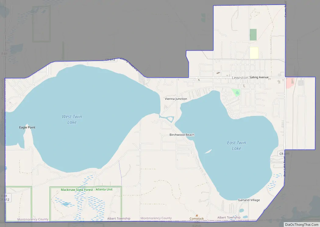
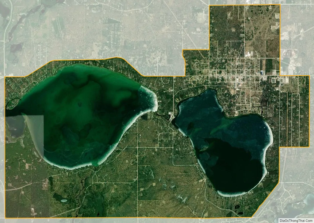
Lewiston city Satellite Map
Geography
According to the United States Census Bureau, the CDP has a total area of 8.6 square miles (22 km), of which, 5.3 square miles (14 km) of it is land and 3.3 square miles (8.5 km) of it (38.39%) is water.
See also
Map of Michigan State and its subdivision:- Alcona
- Alger
- Allegan
- Alpena
- Antrim
- Arenac
- Baraga
- Barry
- Bay
- Benzie
- Berrien
- Branch
- Calhoun
- Cass
- Charlevoix
- Cheboygan
- Chippewa
- Clare
- Clinton
- Crawford
- Delta
- Dickinson
- Eaton
- Emmet
- Genesee
- Gladwin
- Gogebic
- Grand Traverse
- Gratiot
- Hillsdale
- Houghton
- Huron
- Ingham
- Ionia
- Iosco
- Iron
- Isabella
- Jackson
- Kalamazoo
- Kalkaska
- Kent
- Keweenaw
- Lake
- Lake Hurron
- Lake Michigan
- Lake St. Clair
- Lake Superior
- Lapeer
- Leelanau
- Lenawee
- Livingston
- Luce
- Mackinac
- Macomb
- Manistee
- Marquette
- Mason
- Mecosta
- Menominee
- Midland
- Missaukee
- Monroe
- Montcalm
- Montmorency
- Muskegon
- Newaygo
- Oakland
- Oceana
- Ogemaw
- Ontonagon
- Osceola
- Oscoda
- Otsego
- Ottawa
- Presque Isle
- Roscommon
- Saginaw
- Saint Clair
- Saint Joseph
- Sanilac
- Schoolcraft
- Shiawassee
- Tuscola
- Van Buren
- Washtenaw
- Wayne
- Wexford
- Alabama
- Alaska
- Arizona
- Arkansas
- California
- Colorado
- Connecticut
- Delaware
- District of Columbia
- Florida
- Georgia
- Hawaii
- Idaho
- Illinois
- Indiana
- Iowa
- Kansas
- Kentucky
- Louisiana
- Maine
- Maryland
- Massachusetts
- Michigan
- Minnesota
- Mississippi
- Missouri
- Montana
- Nebraska
- Nevada
- New Hampshire
- New Jersey
- New Mexico
- New York
- North Carolina
- North Dakota
- Ohio
- Oklahoma
- Oregon
- Pennsylvania
- Rhode Island
- South Carolina
- South Dakota
- Tennessee
- Texas
- Utah
- Vermont
- Virginia
- Washington
- West Virginia
- Wisconsin
- Wyoming