Lincoln Park is a city in Wayne County in the U.S. state of Michigan. The population was 38,144 at the 2010 census, down from 40,008 at the 2000 census. With a population density of 6,476.1/sq mi (2,500.4/km) at the 2010 census, Lincoln Park is the second most-densely populated municipality in the state after Hamtramck.
Lincoln Park contains Council Point Park, which dates back to 1763 when Chief Pontiac met with other tribal leaders along the banks of the Ecorse River to plot a rebellion against increasing European settlers, specifically those in nearby Fort Detroit. The Potawatomi eventually ceded the land to the French in 1776.
Lincoln Park is considered part of the Downriver collection of communities within Metro Detroit. The city borders Detroit to the north and also shares borders with Allen Park to the west, Ecorse to the east, Melvindale to the north, and Southgate and Wyandotte to the south. It developed as a bedroom community, providing homes to workers in the nearby steel mills and automobile plants of the Detroit area, while having no industries of its own. Lincoln Park was originally part of the now-defunct Ecorse Township, incorporating as a village in 1921 and again as a city in 1925.
| Name: | Lincoln Park city |
|---|---|
| LSAD Code: | 25 |
| LSAD Description: | city (suffix) |
| State: | Michigan |
| County: | Wayne County |
| Incorporated: | 1921 (village) 1925 (city) |
| Elevation: | 587 ft (179 m) |
| Land Area: | 5.84 sq mi (15.12 km²) |
| Water Area: | 0.01 sq mi (0.04 km²) |
| Population Density: | 6,895.99/sq mi (2,662.44/km²) |
| Area code: | 313 |
| FIPS code: | 2647800 |
| GNISfeature ID: | 0630462 |
Online Interactive Map
Click on ![]() to view map in "full screen" mode.
to view map in "full screen" mode.
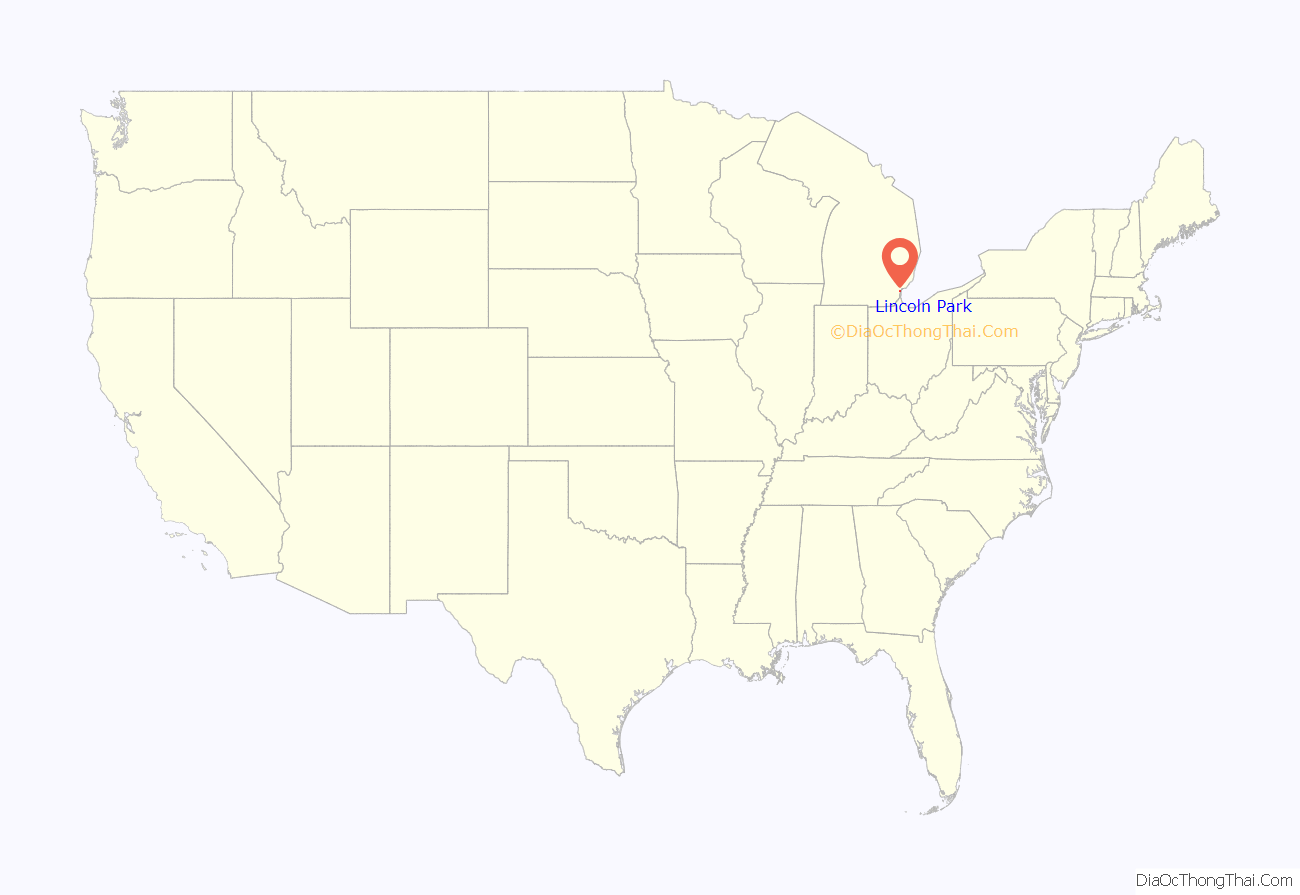
Lincoln Park location map. Where is Lincoln Park city?
History
Long before Lincoln Park was incorporated as a city, an area along the Ecorse River was the site of a pivotal meeting during Pontiac’s Rebellion. On April 27, 1763, a council of several American Indian tribes from the Detroit region listened to a speech from the Ottawa leader Pontiac. Pontiac urged the listeners to join him in a surprise attack on the British Fort Detroit, which they attempted on May 9. Today, the area is known as Council Point Park, and a small engraved boulder marks the site of the historic meeting.
Neighborhoods were first laid in the area of Ecorse Township that would become Lincoln Park in 1906. It was incorporated as a village in 1921, and as a city in 1925.
Preston Tucker, famous for his controversial financing and development of the revolutionary 1948 Tucker Sedan, grew up in Lincoln Park in the early 1900s. Tucker joined the Lincoln Park Police Department in his early years to gain access to the high performance cars the department used.
During the 20th century, Lincoln Park grew as a bedroom community for the numerous workers at Henry Ford’s River Rouge Plant and other mills and factories of the auto industry. Two major shopping hubs were constructed in the 1950s: Lincoln Park Plaza in 1955 on the southeast side and the Lincoln Park Shopping Center the following year on the northwest side.
Among Lincoln Park’s minor claims to fame is that it was the home of the members of the seminal punk rock group MC5 in the 1960s. The band was rumored to have evolved out of the group’s habit of listening to music from a car radio in the parking lot of the local White Castle restaurant in the small downtown area. Gary Grimshaw, a noted rock concert poster artist, grew up in Lincoln Park at the same time.
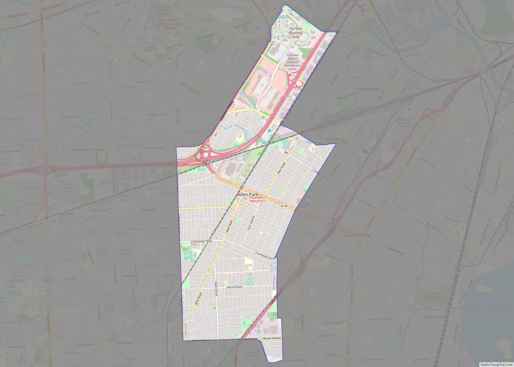
Lincoln Park Road Map
Lincoln Park city Satellite Map
Geography
According to the United States Census Bureau, the city has a total area of 5.89 square miles (15.26 km), all land.
The north and south branches of the Ecorse River run through Lincoln Park and join just before leaving the city. Lincoln Park borders the cities of Detroit, Allen Park, Melvindale, Ecorse, Wyandotte, and Southgate.
See also
Map of Michigan State and its subdivision:- Alcona
- Alger
- Allegan
- Alpena
- Antrim
- Arenac
- Baraga
- Barry
- Bay
- Benzie
- Berrien
- Branch
- Calhoun
- Cass
- Charlevoix
- Cheboygan
- Chippewa
- Clare
- Clinton
- Crawford
- Delta
- Dickinson
- Eaton
- Emmet
- Genesee
- Gladwin
- Gogebic
- Grand Traverse
- Gratiot
- Hillsdale
- Houghton
- Huron
- Ingham
- Ionia
- Iosco
- Iron
- Isabella
- Jackson
- Kalamazoo
- Kalkaska
- Kent
- Keweenaw
- Lake
- Lake Hurron
- Lake Michigan
- Lake St. Clair
- Lake Superior
- Lapeer
- Leelanau
- Lenawee
- Livingston
- Luce
- Mackinac
- Macomb
- Manistee
- Marquette
- Mason
- Mecosta
- Menominee
- Midland
- Missaukee
- Monroe
- Montcalm
- Montmorency
- Muskegon
- Newaygo
- Oakland
- Oceana
- Ogemaw
- Ontonagon
- Osceola
- Oscoda
- Otsego
- Ottawa
- Presque Isle
- Roscommon
- Saginaw
- Saint Clair
- Saint Joseph
- Sanilac
- Schoolcraft
- Shiawassee
- Tuscola
- Van Buren
- Washtenaw
- Wayne
- Wexford
- Alabama
- Alaska
- Arizona
- Arkansas
- California
- Colorado
- Connecticut
- Delaware
- District of Columbia
- Florida
- Georgia
- Hawaii
- Idaho
- Illinois
- Indiana
- Iowa
- Kansas
- Kentucky
- Louisiana
- Maine
- Maryland
- Massachusetts
- Michigan
- Minnesota
- Mississippi
- Missouri
- Montana
- Nebraska
- Nevada
- New Hampshire
- New Jersey
- New Mexico
- New York
- North Carolina
- North Dakota
- Ohio
- Oklahoma
- Oregon
- Pennsylvania
- Rhode Island
- South Carolina
- South Dakota
- Tennessee
- Texas
- Utah
- Vermont
- Virginia
- Washington
- West Virginia
- Wisconsin
- Wyoming
