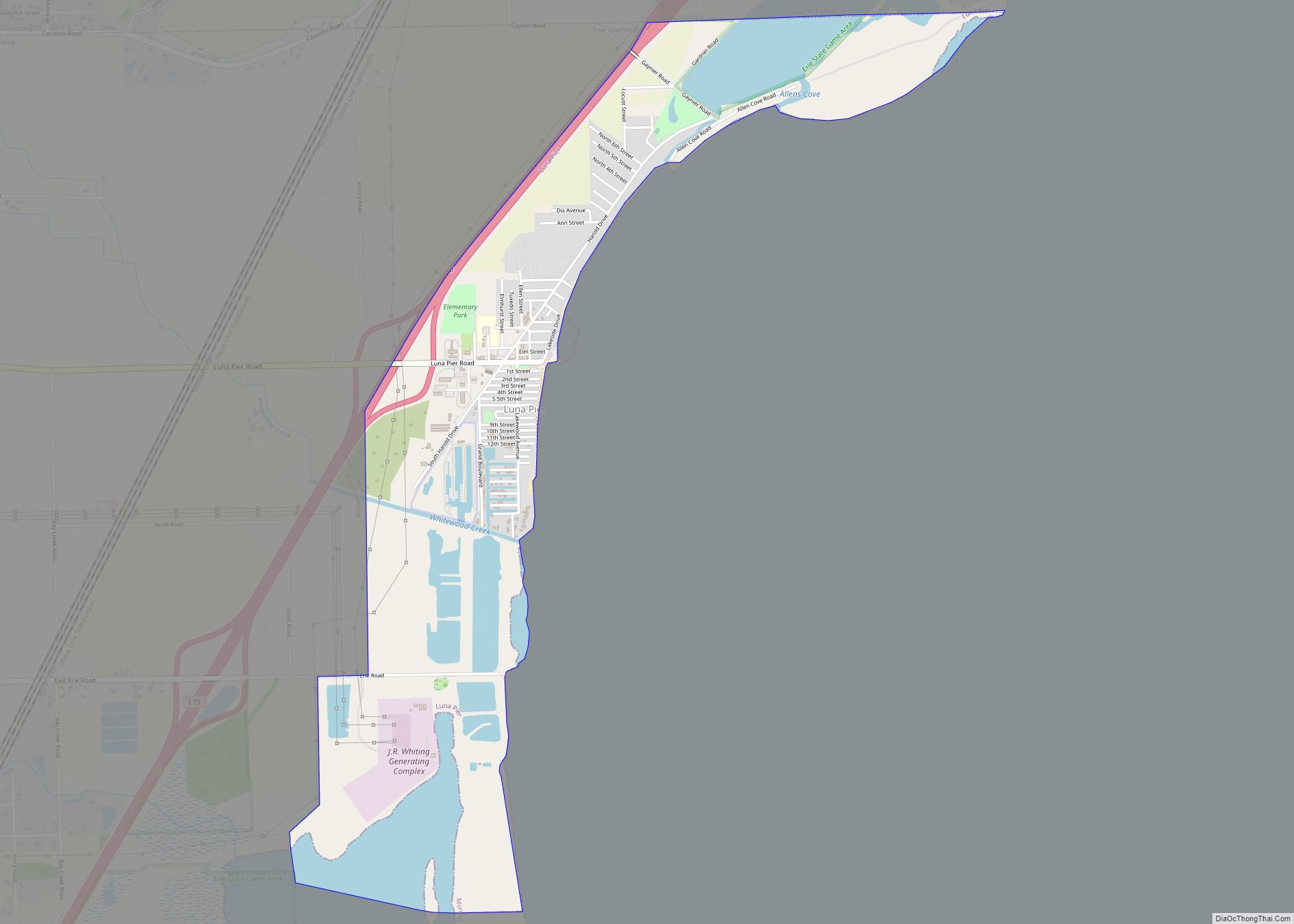
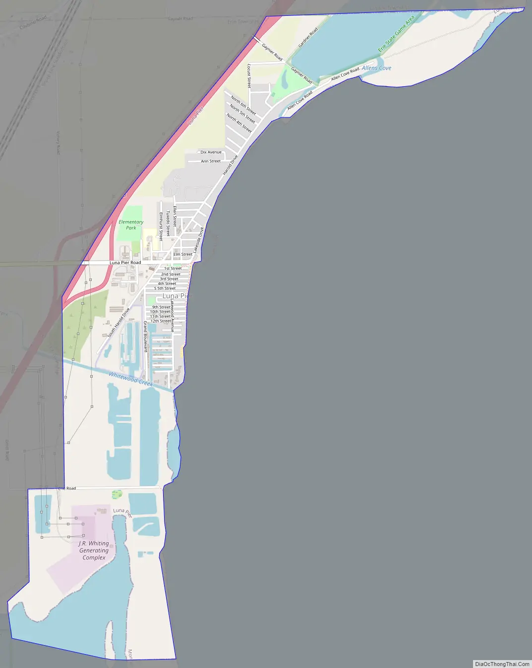
Luna Pier is a city in Monroe County in the U.S. state of Michigan. The population was 1,382 at the 2020 census.
The city is located 6.0 miles (9.7 km) north of the Ohio state border along the coast of Lake Erie. Previously known as Lakewood, it was established in the early 1900s and incorporated as a city in 1963.
Its most prominent feature is a large crescent-shaped pier made of concrete, approximately 800 ft (240 m) long and reaching around 200 feet (61 m) out into Lake Erie. The pier is flanked by sandy beaches and man-made rock and concrete embankments. On most days, the Davis–Besse Nuclear Power Station in Oak Harbor, Ohio and Toledo Harbor Light can be seen from the pier. The city is served by Mason Consolidated Schools.
| Name: | Luna Pier city |
|---|---|
| LSAD Code: | 25 |
| LSAD Description: | city (suffix) |
| State: | Michigan |
| County: | Monroe County |
| Incorporated: | 1963 |
| Elevation: | 574 ft (175 m) |
| Total Area: | 1.69 sq mi (4.37 km²) |
| Land Area: | 1.49 sq mi (3.86 km²) |
| Water Area: | 0.20 sq mi (0.51 km²) |
| Total Population: | 1,382 |
| Population Density: | 926.27/sq mi (357.67/km²) |
| Area code: | 734 |
| FIPS code: | 2649700 |
| GNISfeature ID: | 0631215 |
Online Interactive Map
Click on ![]() to view map in "full screen" mode.
to view map in "full screen" mode.
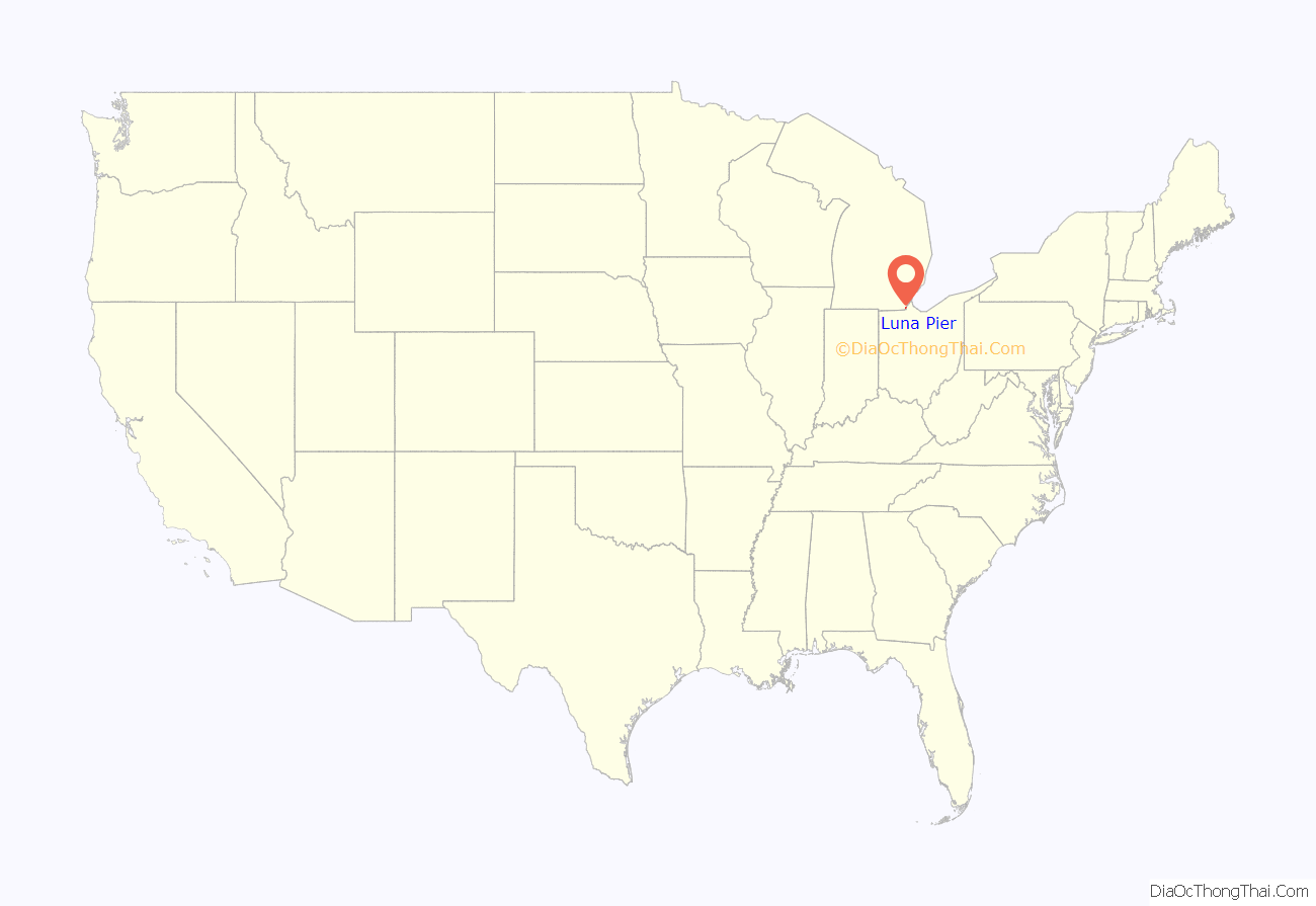
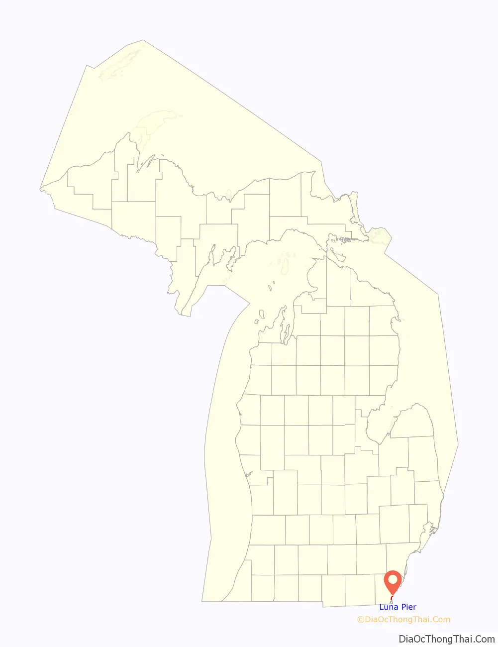
Luna Pier location map. Where is Luna Pier city?
Luna Pier Road Map
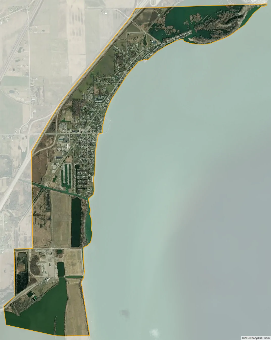
Luna Pier city Satellite Map
Geography
According to the U.S. Census Bureau, the city has a total area of 1.69 square miles (4.38 km), of which 1.49 square miles (3.86 km) is land and 0.20 square miles (0.52 km) (11.83%) is water.
See also
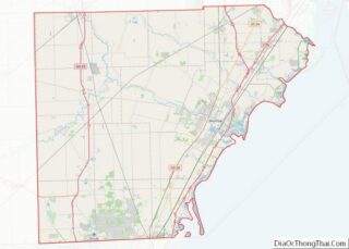
Map of Michigan State and its subdivision:- Alcona
- Alger
- Allegan
- Alpena
- Antrim
- Arenac
- Baraga
- Barry
- Bay
- Benzie
- Berrien
- Branch
- Calhoun
- Cass
- Charlevoix
- Cheboygan
- Chippewa
- Clare
- Clinton
- Crawford
- Delta
- Dickinson
- Eaton
- Emmet
- Genesee
- Gladwin
- Gogebic
- Grand Traverse
- Gratiot
- Hillsdale
- Houghton
- Huron
- Ingham
- Ionia
- Iosco
- Iron
- Isabella
- Jackson
- Kalamazoo
- Kalkaska
- Kent
- Keweenaw
- Lake
- Lake Hurron
- Lake Michigan
- Lake St. Clair
- Lake Superior
- Lapeer
- Leelanau
- Lenawee
- Livingston
- Luce
- Mackinac
- Macomb
- Manistee
- Marquette
- Mason
- Mecosta
- Menominee
- Midland
- Missaukee
- Monroe
- Montcalm
- Montmorency
- Muskegon
- Newaygo
- Oakland
- Oceana
- Ogemaw
- Ontonagon
- Osceola
- Oscoda
- Otsego
- Ottawa
- Presque Isle
- Roscommon
- Saginaw
- Saint Clair
- Saint Joseph
- Sanilac
- Schoolcraft
- Shiawassee
- Tuscola
- Van Buren
- Washtenaw
- Wayne
- Wexford
- Alabama
- Alaska
- Arizona
- Arkansas
- California
- Colorado
- Connecticut
- Delaware
- District of Columbia
- Florida
- Georgia
- Hawaii
- Idaho
- Illinois
- Indiana
- Iowa
- Kansas
- Kentucky
- Louisiana
- Maine
- Maryland
- Massachusetts
- Michigan
- Minnesota
- Mississippi
- Missouri
- Montana
- Nebraska
- Nevada
- New Hampshire
- New Jersey
- New Mexico
- New York
- North Carolina
- North Dakota
- Ohio
- Oklahoma
- Oregon
- Pennsylvania
- Rhode Island
- South Carolina
- South Dakota
- Tennessee
- Texas
- Utah
- Vermont
- Virginia
- Washington
- West Virginia
- Wisconsin
- Wyoming