Mancelona (/mænˌsəˈloʊnə/ man-sə-LOW-nə) is a village in the Northern Lower Peninsula of the U.S. state of Michigan. Part of Mancelona Township, the village is located within Antrim County. Its population was 1,344 at the 2020 census.
| Name: | Mancelona village |
|---|---|
| LSAD Code: | 47 |
| LSAD Description: | village (suffix) |
| State: | Michigan |
| County: | Antrim County |
| Incorporated: | 1889 |
| Elevation: | 1,125 ft (343 m) |
| Total Area: | 1.00 sq mi (2.60 km²) |
| Land Area: | 1.00 sq mi (2.60 km²) |
| Water Area: | 0.00 sq mi (0.00 km²) |
| Total Population: | 1,344 |
| Population Density: | 1,339.98/sq mi (517.35/km²) |
| Area code: | 231 |
| FIPS code: | 2650620 |
| GNISfeature ID: | 0631374 |
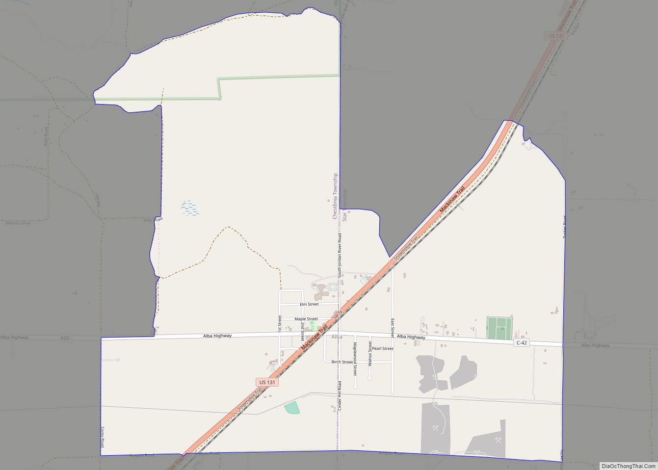
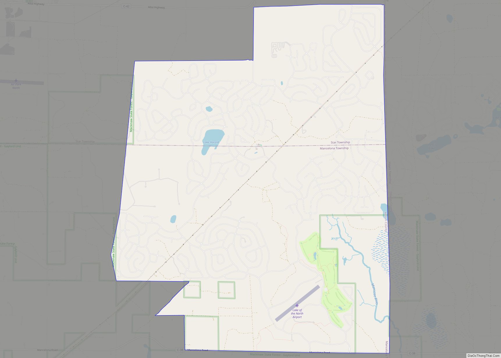
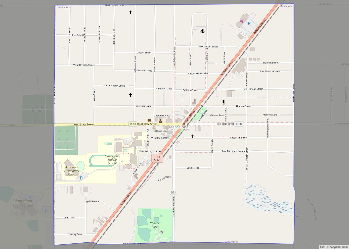
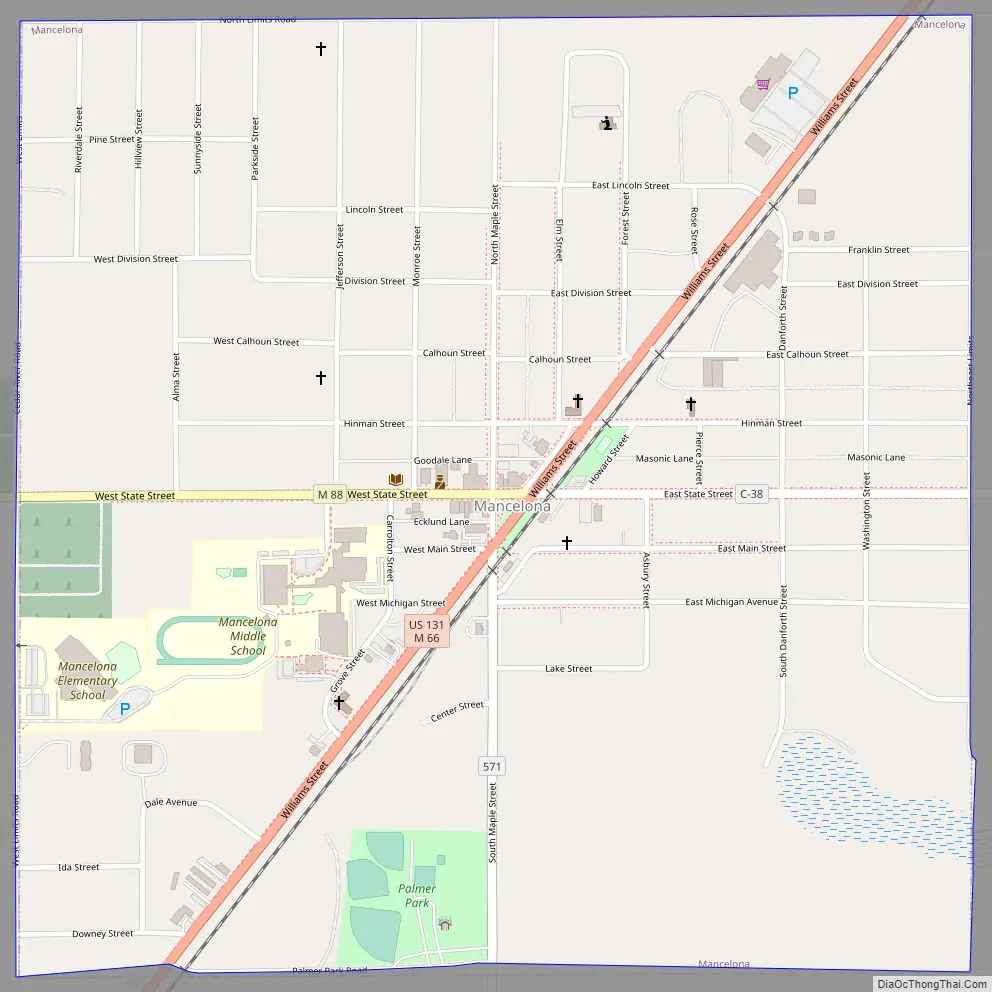
Online Interactive Map
Click on ![]() to view map in "full screen" mode.
to view map in "full screen" mode.
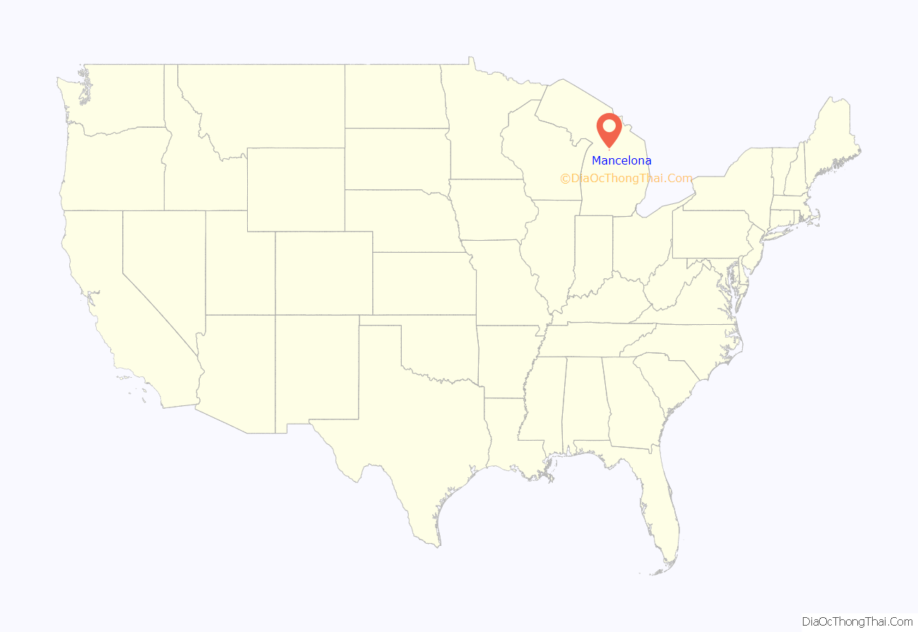
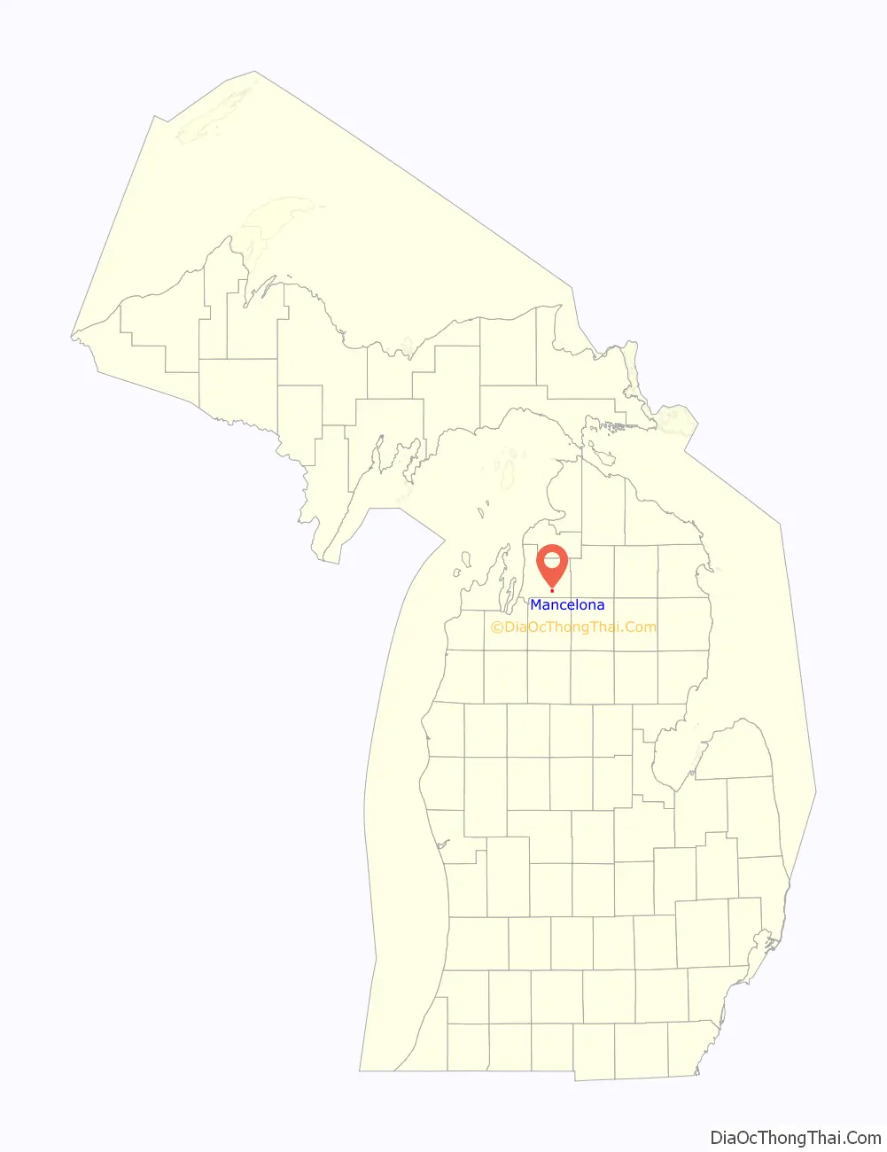
Mancelona location map. Where is Mancelona village?
History
In 1869, Perry Andress established a homestead in the area, naming it after his daughter, Mancelona Andress. Two years later, the Township of Mancelona was established, and named after her as well. In 1872, an extension of the Grand Rapids and Indiana Railroad was extended through the area, and a station called Mancelona was established.
In 1882, an organization by the name of “John Otis & Company” built a large charcoal furnace just south of Mancelona. The company also platted a town around the furnace, naming it “Furnaceville“. Soon after this, the Grand Rapids and Indiana Railroad built a station at that town. The furnace flourished, and in 1886 a group of businessmen from Grand Rapids bought out the company, and renamed the company Antrim Iron Works and the town Antrim. A large blast furnace and iron works was built on the site, and the new company began doing business. The iron company shuttered in 1945, and was demolished in the 1980s.
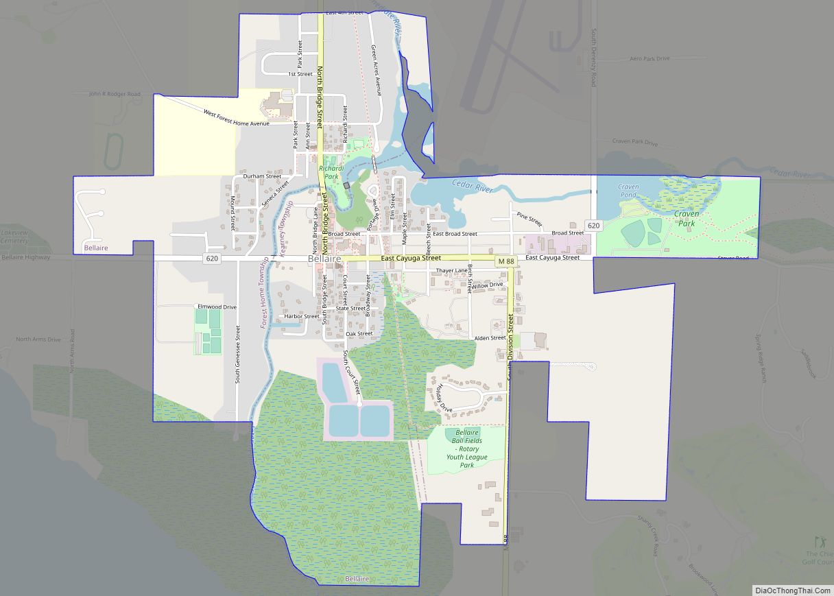
Mancelona Road Map
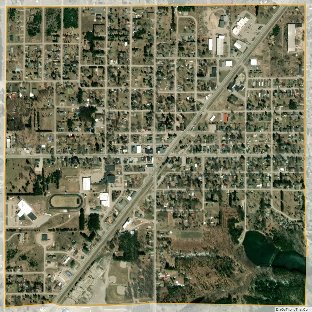
Mancelona city Satellite Map
Geography
According to the United States Census Bureau, the village has a total area of 1.00 square mile (2.59 km), all of it land. The village is located at 44°54′08″N 85°03′39″W / 44.90222°N 85.06083°W / 44.90222; -85.06083.
Mancelona is known for its proximity to the bodies of water that make up the Elk River Chain of Lakes Watershed, especially Torch Lake.
See also
Map of Michigan State and its subdivision:- Alcona
- Alger
- Allegan
- Alpena
- Antrim
- Arenac
- Baraga
- Barry
- Bay
- Benzie
- Berrien
- Branch
- Calhoun
- Cass
- Charlevoix
- Cheboygan
- Chippewa
- Clare
- Clinton
- Crawford
- Delta
- Dickinson
- Eaton
- Emmet
- Genesee
- Gladwin
- Gogebic
- Grand Traverse
- Gratiot
- Hillsdale
- Houghton
- Huron
- Ingham
- Ionia
- Iosco
- Iron
- Isabella
- Jackson
- Kalamazoo
- Kalkaska
- Kent
- Keweenaw
- Lake
- Lake Hurron
- Lake Michigan
- Lake St. Clair
- Lake Superior
- Lapeer
- Leelanau
- Lenawee
- Livingston
- Luce
- Mackinac
- Macomb
- Manistee
- Marquette
- Mason
- Mecosta
- Menominee
- Midland
- Missaukee
- Monroe
- Montcalm
- Montmorency
- Muskegon
- Newaygo
- Oakland
- Oceana
- Ogemaw
- Ontonagon
- Osceola
- Oscoda
- Otsego
- Ottawa
- Presque Isle
- Roscommon
- Saginaw
- Saint Clair
- Saint Joseph
- Sanilac
- Schoolcraft
- Shiawassee
- Tuscola
- Van Buren
- Washtenaw
- Wayne
- Wexford
- Alabama
- Alaska
- Arizona
- Arkansas
- California
- Colorado
- Connecticut
- Delaware
- District of Columbia
- Florida
- Georgia
- Hawaii
- Idaho
- Illinois
- Indiana
- Iowa
- Kansas
- Kentucky
- Louisiana
- Maine
- Maryland
- Massachusetts
- Michigan
- Minnesota
- Mississippi
- Missouri
- Montana
- Nebraska
- Nevada
- New Hampshire
- New Jersey
- New Mexico
- New York
- North Carolina
- North Dakota
- Ohio
- Oklahoma
- Oregon
- Pennsylvania
- Rhode Island
- South Carolina
- South Dakota
- Tennessee
- Texas
- Utah
- Vermont
- Virginia
- Washington
- West Virginia
- Wisconsin
- Wyoming