Maple Rapids is a village in Clinton County in the U.S. state of Michigan. The population was 672 at the 2010 census. The village is located in Essex Township about 10 miles (16.1 km) northwest of St. Johns. A portion of the village is within the Maple River State Game Area.
| Name: | Maple Rapids village |
|---|---|
| LSAD Code: | 47 |
| LSAD Description: | village (suffix) |
| State: | Michigan |
| County: | Clinton County |
| Incorporated: | 1881 |
| Elevation: | 666 ft (203 m) |
| Total Area: | 1.43 sq mi (3.69 km²) |
| Land Area: | 1.37 sq mi (3.54 km²) |
| Water Area: | 0.06 sq mi (0.15 km²) |
| Total Population: | 573 |
| Population Density: | 419.47/sq mi (161.91/km²) |
| Area code: | 989 |
| FIPS code: | 2651200 |
| GNISfeature ID: | 2399248 |
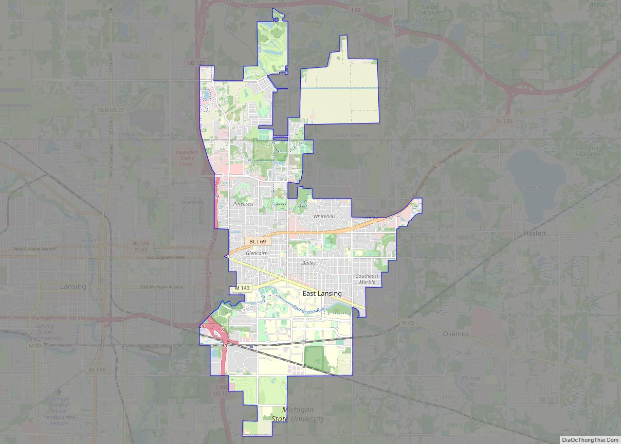
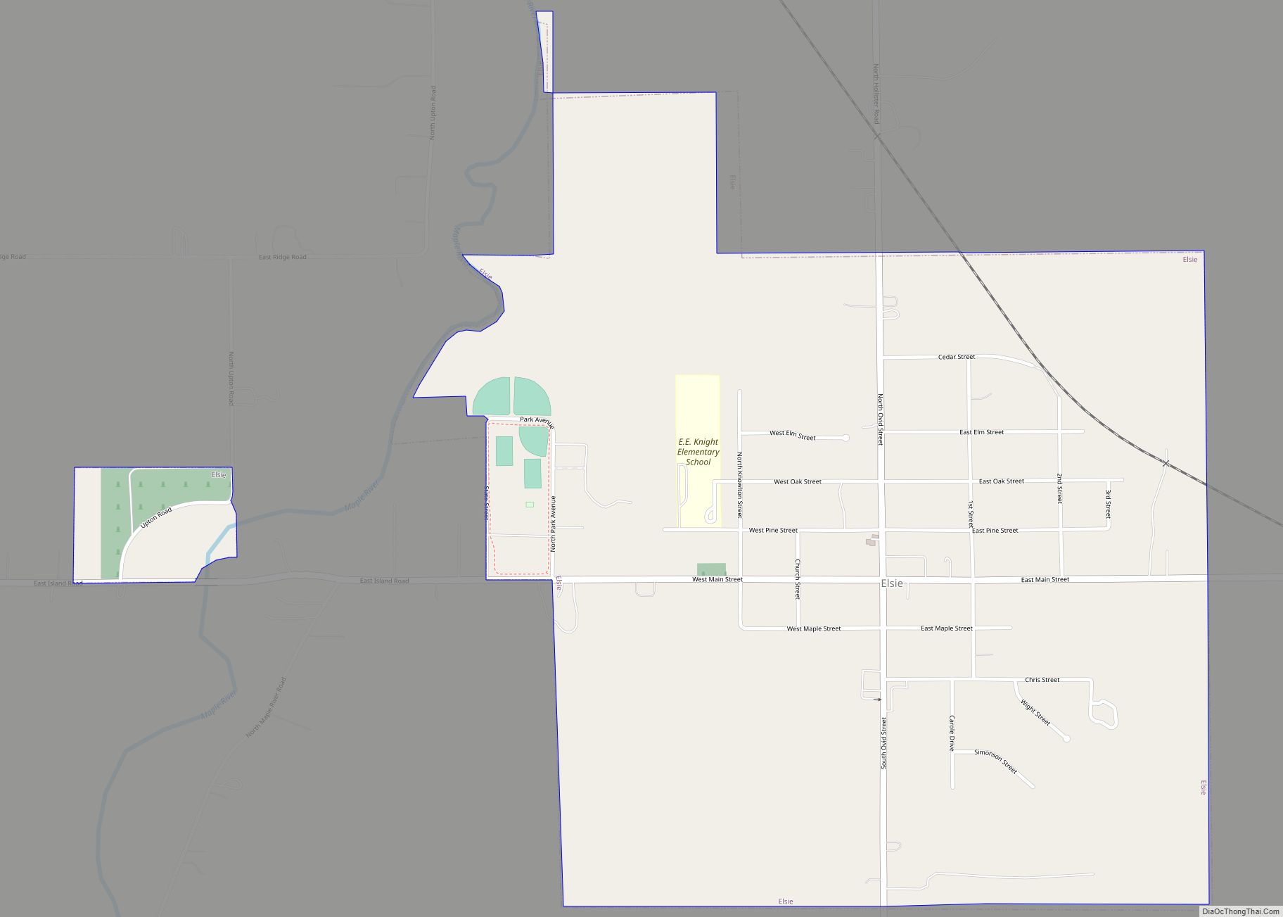
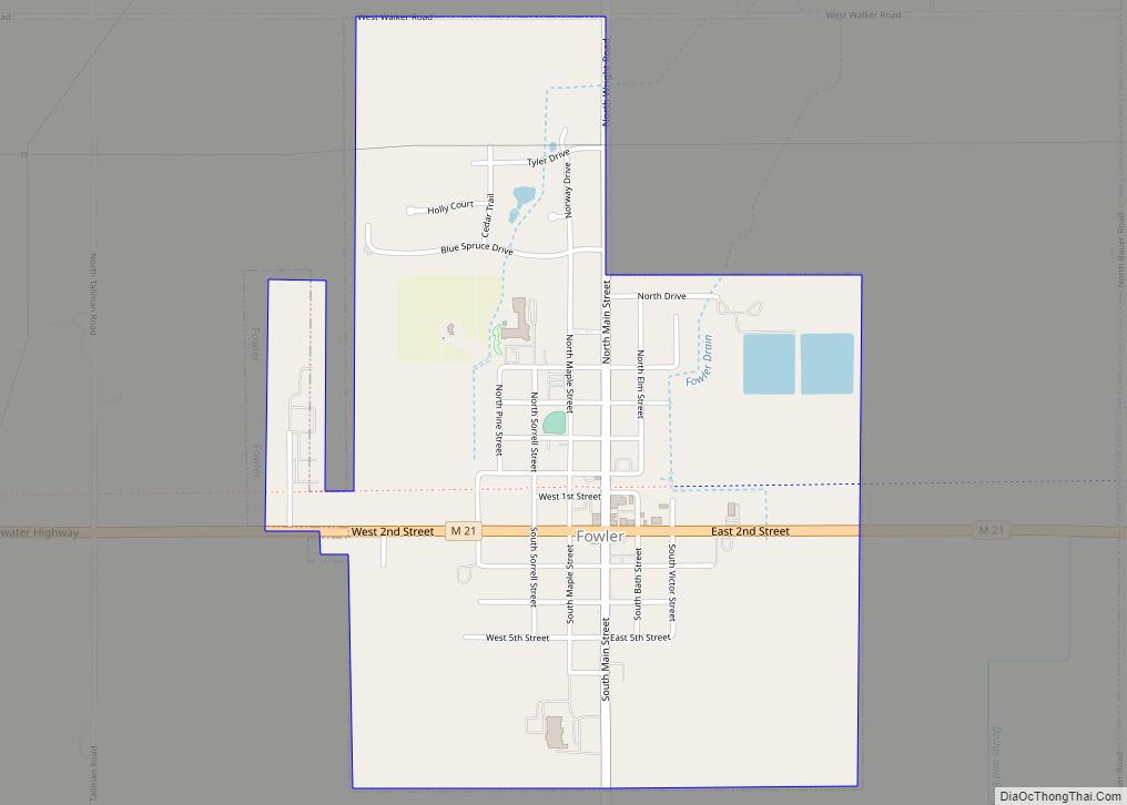
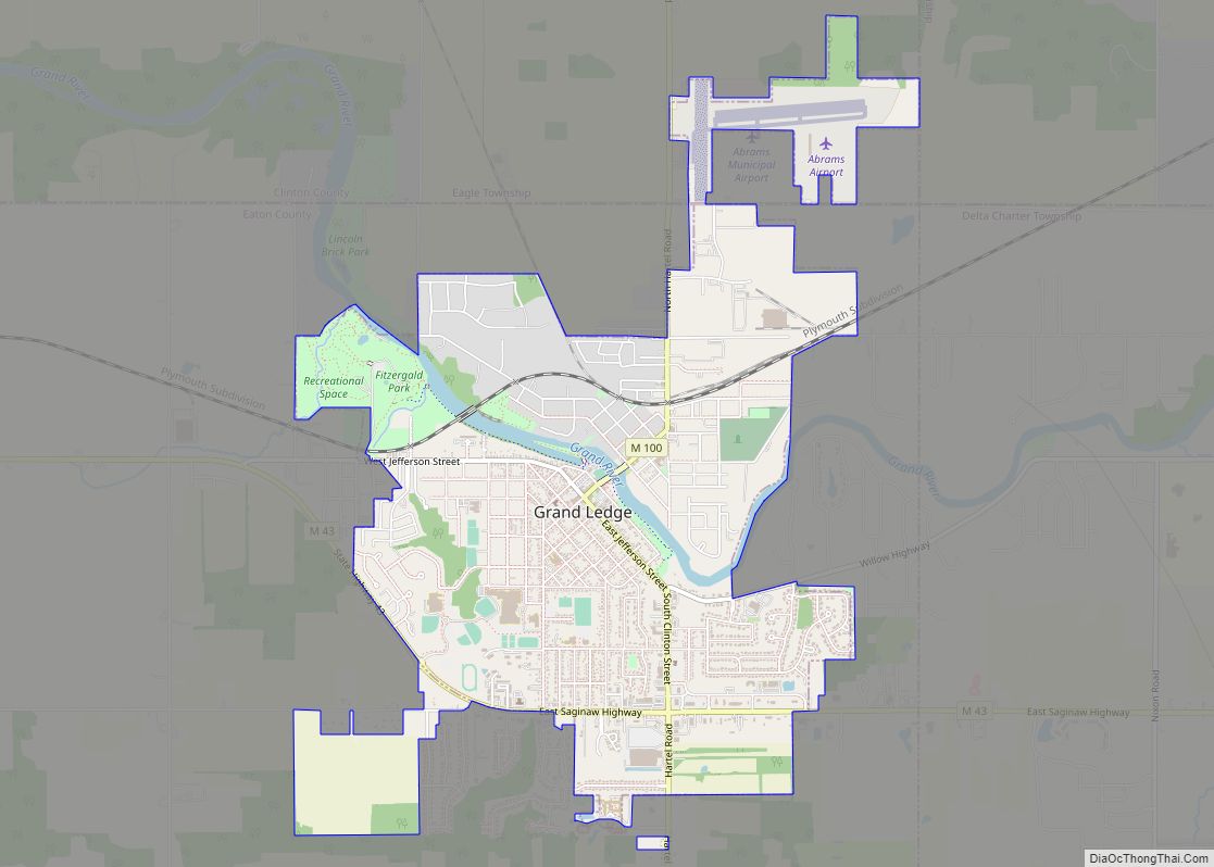
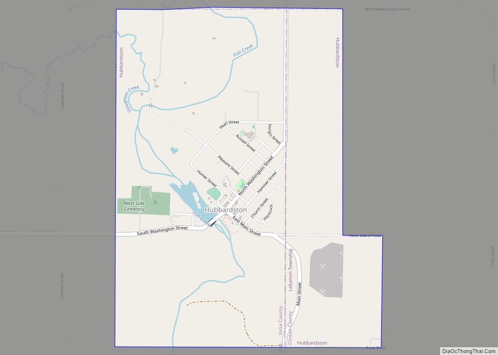
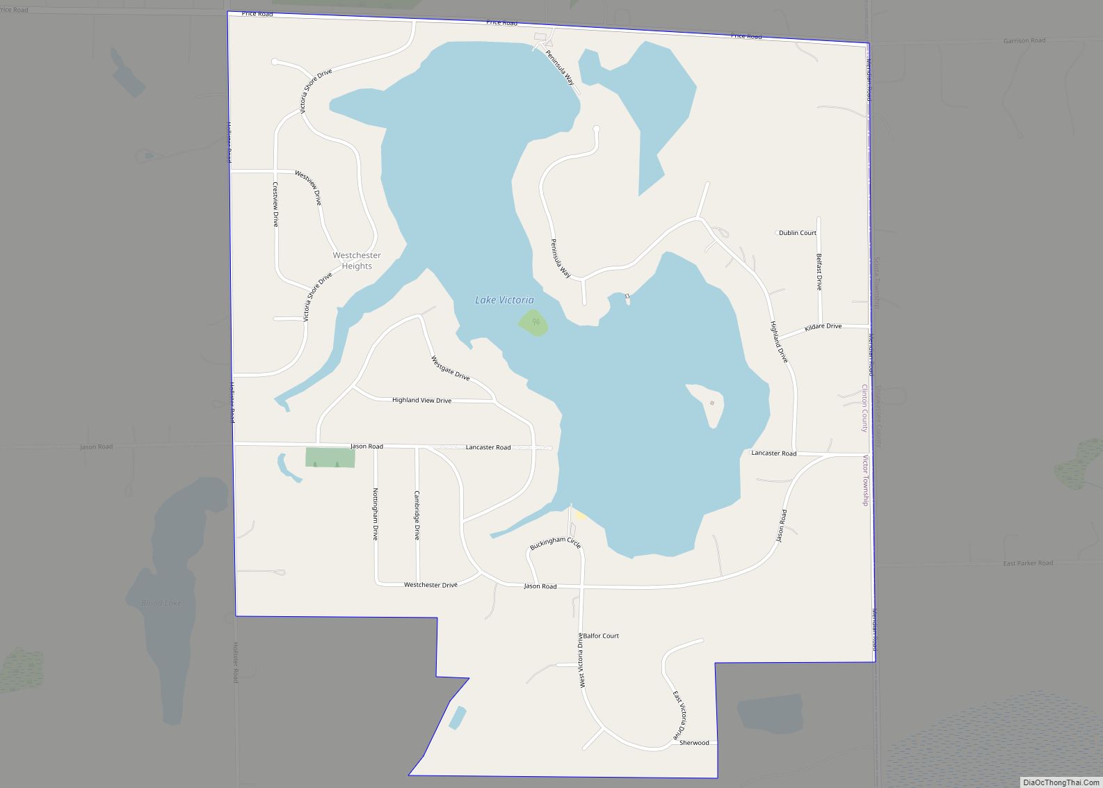
Online Interactive Map
Click on ![]() to view map in "full screen" mode.
to view map in "full screen" mode.
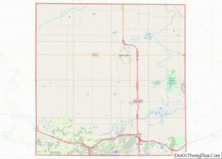
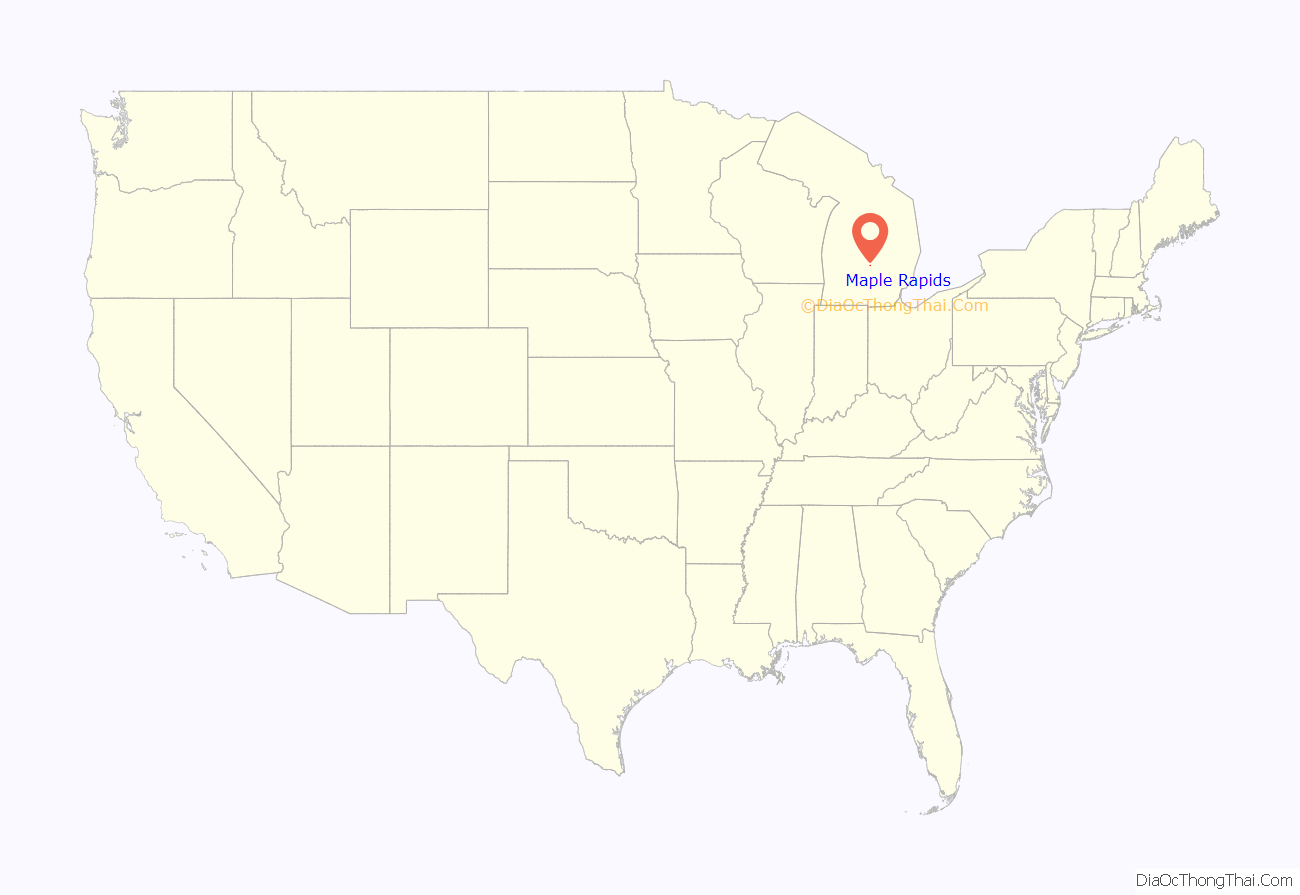
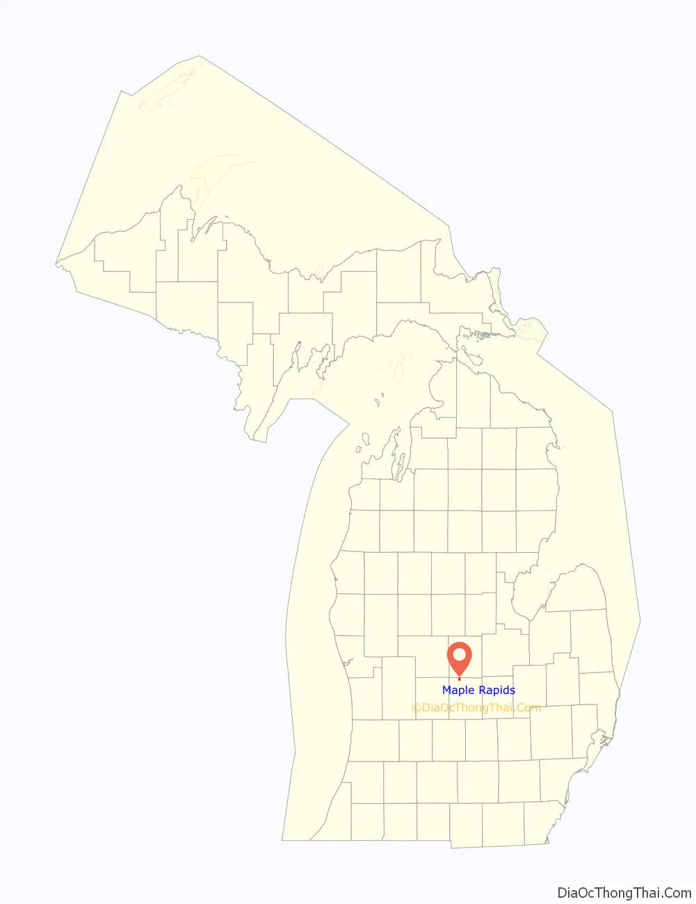
Maple Rapids location map. Where is Maple Rapids village?
History
In the early 19th-century Maple Rapids was a site where Maketoquit and his large band of Ottawa processed maple sugar, although their main base was further east in modern Shiawassee County, Michigan.
The community was named after the rapids on the Maple River by George Campau, (brother of Louis, founder of Grand Rapids), in 1826 when he built a trading post here. In 1852, William Hewitt built a dam, a sawmill and a store, platted the land and became the first postmaster. The town was incorporated as a village in 1881 during the lumber boom.
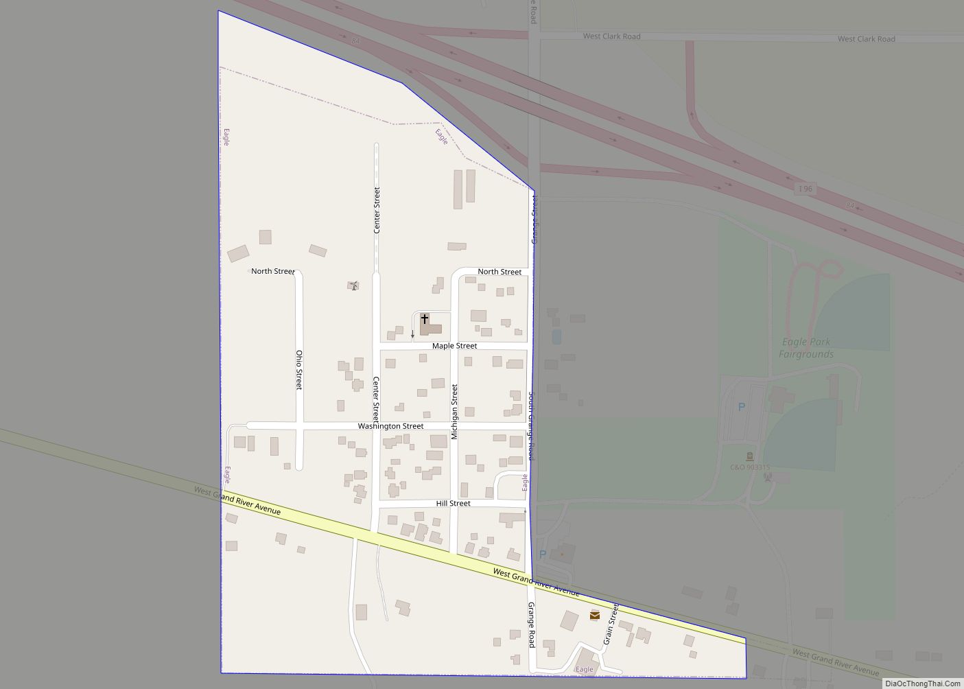
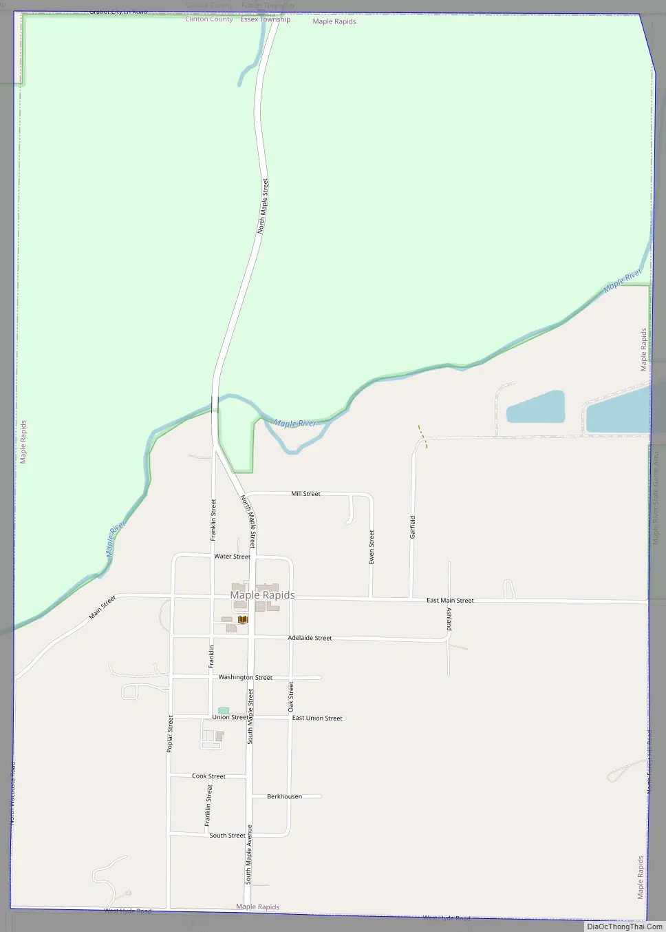
Maple Rapids Road Map
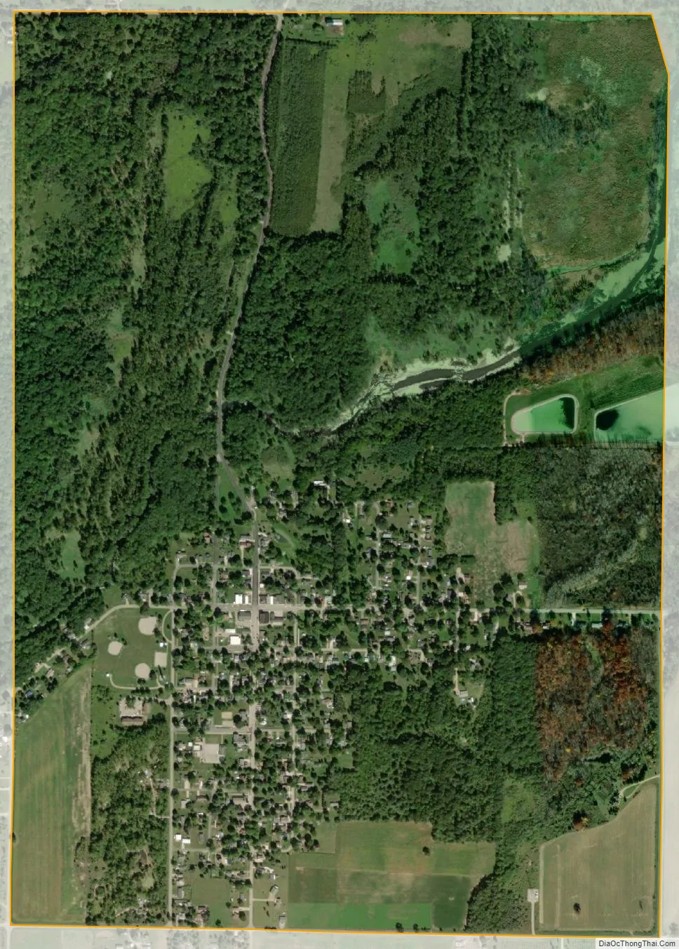
Maple Rapids city Satellite Map
Geography
According to the U.S. Census Bureau, the village has a total area of 1.42 square miles (3.68 km), of which 1.36 square miles (3.52 km) is land and 0.06 square miles (0.16 km) (4.23%) is water.
See also
Map of Michigan State and its subdivision:- Alcona
- Alger
- Allegan
- Alpena
- Antrim
- Arenac
- Baraga
- Barry
- Bay
- Benzie
- Berrien
- Branch
- Calhoun
- Cass
- Charlevoix
- Cheboygan
- Chippewa
- Clare
- Clinton
- Crawford
- Delta
- Dickinson
- Eaton
- Emmet
- Genesee
- Gladwin
- Gogebic
- Grand Traverse
- Gratiot
- Hillsdale
- Houghton
- Huron
- Ingham
- Ionia
- Iosco
- Iron
- Isabella
- Jackson
- Kalamazoo
- Kalkaska
- Kent
- Keweenaw
- Lake
- Lake Hurron
- Lake Michigan
- Lake St. Clair
- Lake Superior
- Lapeer
- Leelanau
- Lenawee
- Livingston
- Luce
- Mackinac
- Macomb
- Manistee
- Marquette
- Mason
- Mecosta
- Menominee
- Midland
- Missaukee
- Monroe
- Montcalm
- Montmorency
- Muskegon
- Newaygo
- Oakland
- Oceana
- Ogemaw
- Ontonagon
- Osceola
- Oscoda
- Otsego
- Ottawa
- Presque Isle
- Roscommon
- Saginaw
- Saint Clair
- Saint Joseph
- Sanilac
- Schoolcraft
- Shiawassee
- Tuscola
- Van Buren
- Washtenaw
- Wayne
- Wexford
- Alabama
- Alaska
- Arizona
- Arkansas
- California
- Colorado
- Connecticut
- Delaware
- District of Columbia
- Florida
- Georgia
- Hawaii
- Idaho
- Illinois
- Indiana
- Iowa
- Kansas
- Kentucky
- Louisiana
- Maine
- Maryland
- Massachusetts
- Michigan
- Minnesota
- Mississippi
- Missouri
- Montana
- Nebraska
- Nevada
- New Hampshire
- New Jersey
- New Mexico
- New York
- North Carolina
- North Dakota
- Ohio
- Oklahoma
- Oregon
- Pennsylvania
- Rhode Island
- South Carolina
- South Dakota
- Tennessee
- Texas
- Utah
- Vermont
- Virginia
- Washington
- West Virginia
- Wisconsin
- Wyoming