St. Johns or Saint Johns is the largest city and county seat of Clinton County in the U.S. state of Michigan. The population was 7,698 at the 2020 census.
St. Johns is located in the north of Clinton County, surrounded by Bingham Township (although the two are administered independently). St. Johns is about 18 miles (29 km) north of Lansing, Michigan’s capital city, and is part of the Lansing–East Lansing metropolitan area. St. Johns has been nicknamed the “Mint Capital of the World”.
| Name: | St. Johns city |
|---|---|
| LSAD Code: | 25 |
| LSAD Description: | city (suffix) |
| State: | Michigan |
| County: | Clinton County |
| Incorporated: | 1904 |
| Elevation: | 791 ft (241 m) |
| Total Area: | 4.21 sq mi (10.91 km²) |
| Land Area: | 4.21 sq mi (10.91 km²) |
| Water Area: | 0.00 sq mi (0.00 km²) |
| Total Population: | 7,698 |
| Population Density: | 1,827.20/sq mi (705.45/km²) |
| Area code: | 989 |
| FIPS code: | 2670940 |
| GNISfeature ID: | 1627030 |
Online Interactive Map
Click on ![]() to view map in "full screen" mode.
to view map in "full screen" mode.
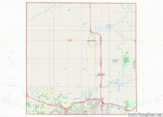
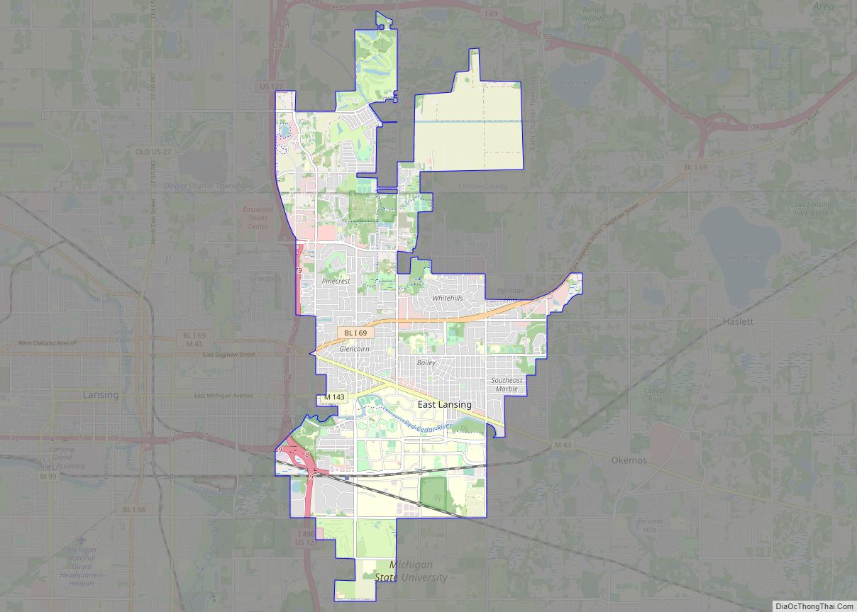
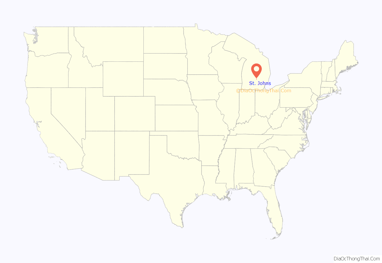
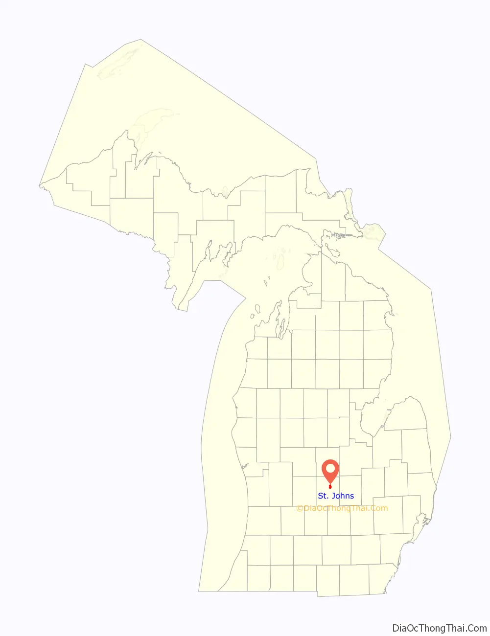
St. Johns location map. Where is St. Johns city?
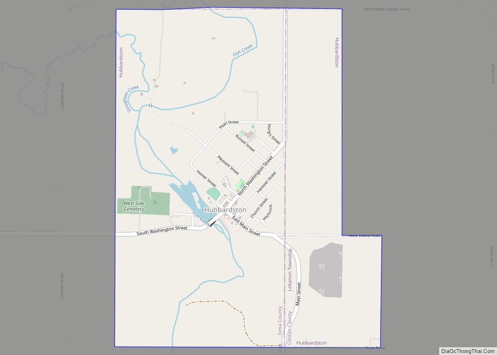
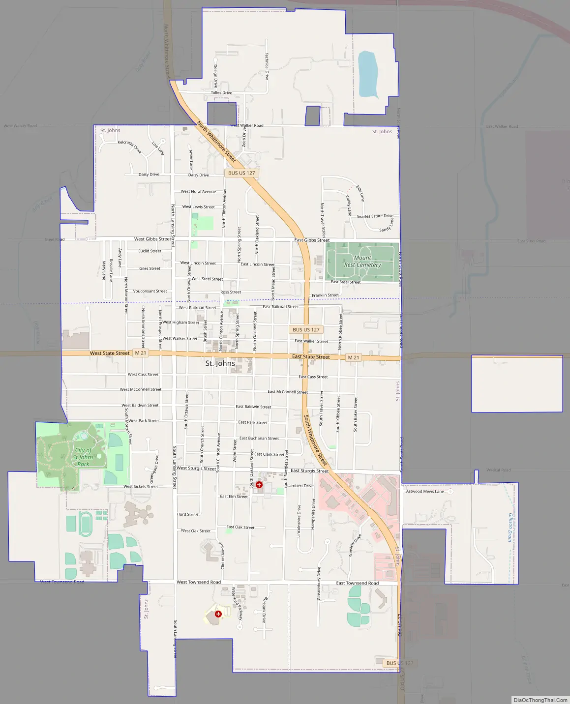
St. Johns Road Map
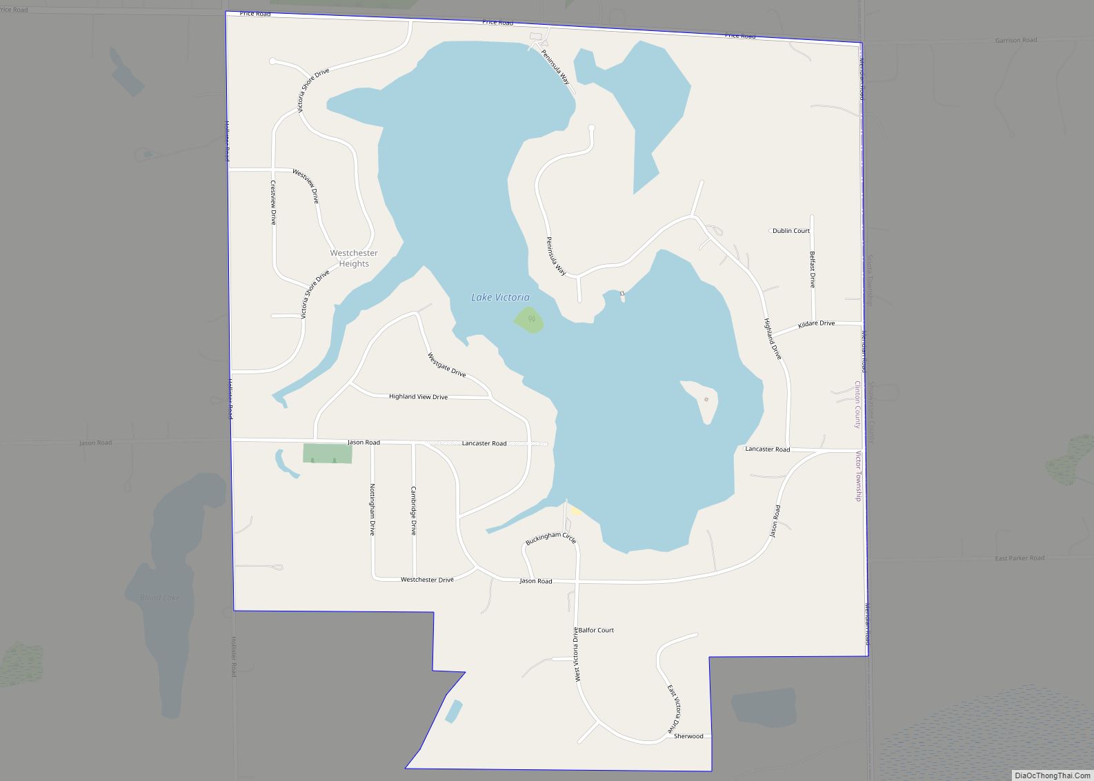
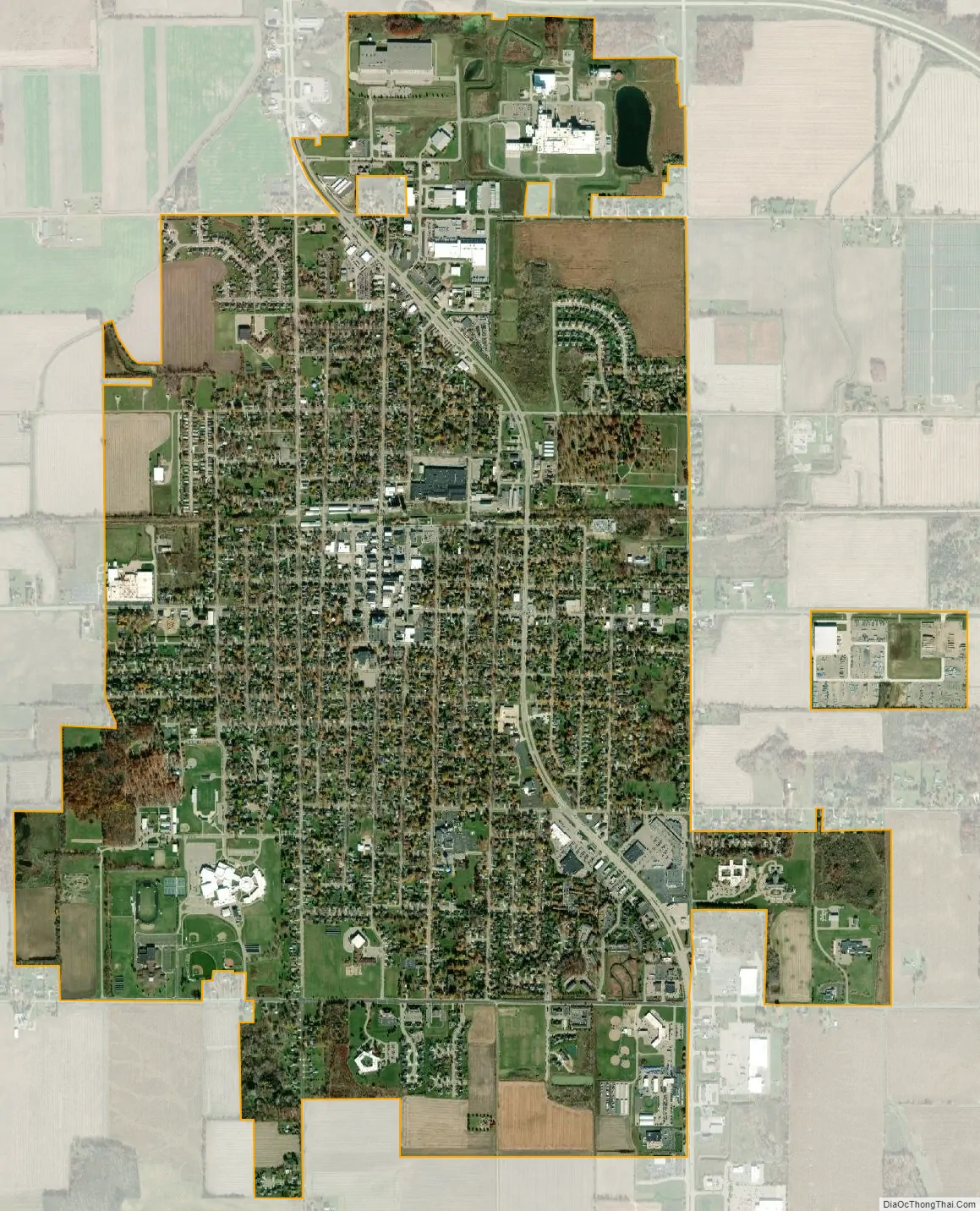
St. Johns city Satellite Map
Geography
According to the United States Census Bureau, the city has a total area of 3.87 square miles (10.02 km), all of it land. The city is situated in Bingham Township, but is administratively autonomous. A mixture of rich forests, plains and farmland (uniquely, mint fields) make up the St. Johns area, providing ample opportunity for outdoor sports and agriculture.
See also
Map of Michigan State and its subdivision:- Alcona
- Alger
- Allegan
- Alpena
- Antrim
- Arenac
- Baraga
- Barry
- Bay
- Benzie
- Berrien
- Branch
- Calhoun
- Cass
- Charlevoix
- Cheboygan
- Chippewa
- Clare
- Clinton
- Crawford
- Delta
- Dickinson
- Eaton
- Emmet
- Genesee
- Gladwin
- Gogebic
- Grand Traverse
- Gratiot
- Hillsdale
- Houghton
- Huron
- Ingham
- Ionia
- Iosco
- Iron
- Isabella
- Jackson
- Kalamazoo
- Kalkaska
- Kent
- Keweenaw
- Lake
- Lake Hurron
- Lake Michigan
- Lake St. Clair
- Lake Superior
- Lapeer
- Leelanau
- Lenawee
- Livingston
- Luce
- Mackinac
- Macomb
- Manistee
- Marquette
- Mason
- Mecosta
- Menominee
- Midland
- Missaukee
- Monroe
- Montcalm
- Montmorency
- Muskegon
- Newaygo
- Oakland
- Oceana
- Ogemaw
- Ontonagon
- Osceola
- Oscoda
- Otsego
- Ottawa
- Presque Isle
- Roscommon
- Saginaw
- Saint Clair
- Saint Joseph
- Sanilac
- Schoolcraft
- Shiawassee
- Tuscola
- Van Buren
- Washtenaw
- Wayne
- Wexford
- Alabama
- Alaska
- Arizona
- Arkansas
- California
- Colorado
- Connecticut
- Delaware
- District of Columbia
- Florida
- Georgia
- Hawaii
- Idaho
- Illinois
- Indiana
- Iowa
- Kansas
- Kentucky
- Louisiana
- Maine
- Maryland
- Massachusetts
- Michigan
- Minnesota
- Mississippi
- Missouri
- Montana
- Nebraska
- Nevada
- New Hampshire
- New Jersey
- New Mexico
- New York
- North Carolina
- North Dakota
- Ohio
- Oklahoma
- Oregon
- Pennsylvania
- Rhode Island
- South Carolina
- South Dakota
- Tennessee
- Texas
- Utah
- Vermont
- Virginia
- Washington
- West Virginia
- Wisconsin
- Wyoming