Melvindale is a city in Wayne County of the U.S. state of Michigan. At the 2020 census, the city population was 12,851.
| Name: | Melvindale city |
|---|---|
| LSAD Code: | 25 |
| LSAD Description: | city (suffix) |
| State: | Michigan |
| County: | Wayne County |
| Incorporated: | 1924 (village) 1933 (city) |
| Elevation: | 587 ft (179 m) |
| Total Area: | 2.75 sq mi (7.13 km²) |
| Land Area: | 2.73 sq mi (7.06 km²) |
| Water Area: | 0.02 sq mi (0.06 km²) |
| Total Population: | 12,851 |
| Population Density: | 4,712.50/sq mi (1,819.58/km²) |
| Area code: | 313 |
| FIPS code: | 2652940 |
| GNISfeature ID: | 0632086 |
Online Interactive Map
Click on ![]() to view map in "full screen" mode.
to view map in "full screen" mode.
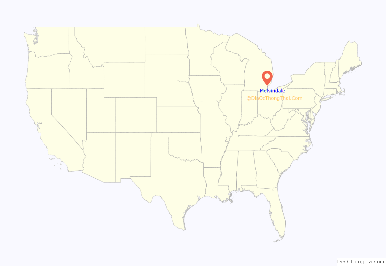
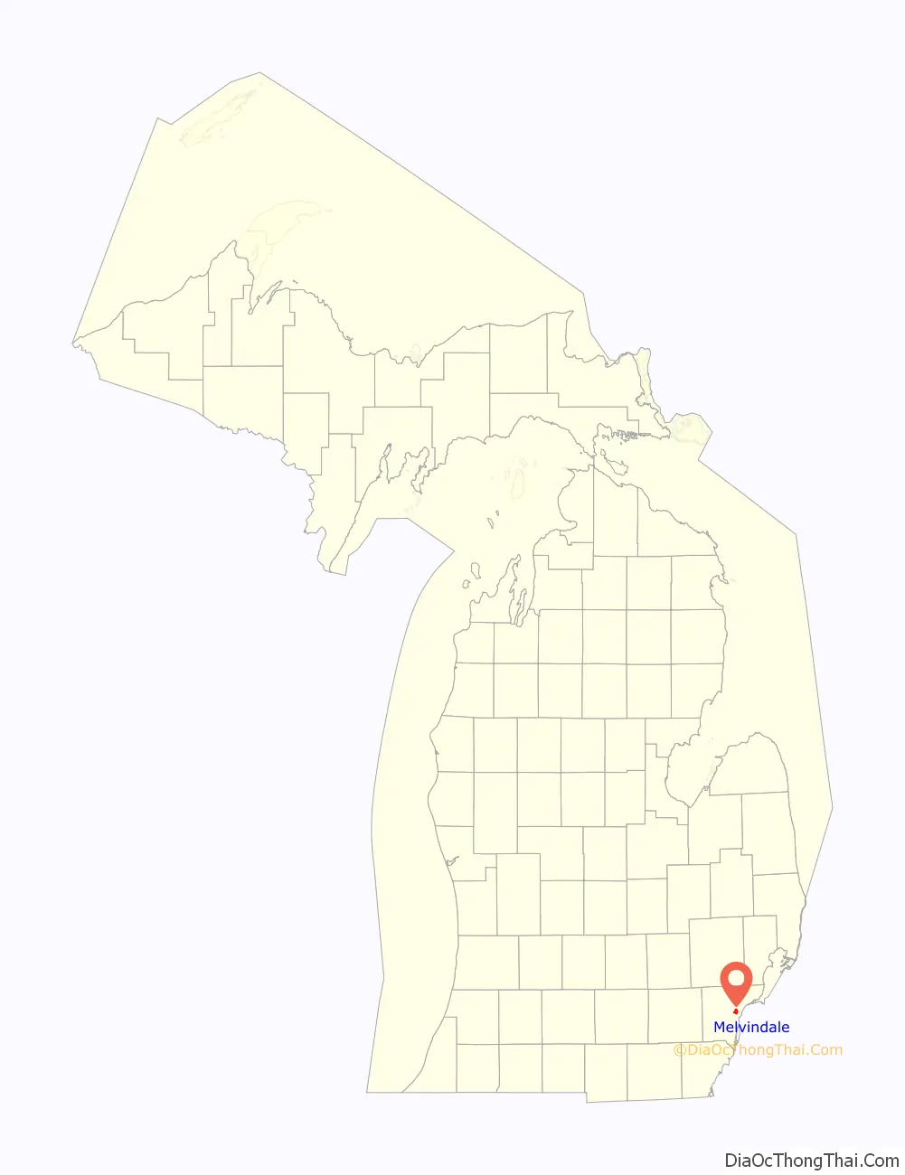
Melvindale location map. Where is Melvindale city?
History
Melvindale began as the unincorporated settlement of Oakwood Heights in the northwestern part of Ecorse Township in the early 1920s. The subdivision was designed to house workers from the nearby Ford River Rouge Plant in the city of Dearborn. The city was named after one of the original developers of the settlement, Melvin Wilkinson. The eastern part of Oakwood Heights was annexed by the city of Detroit in 1922, and the remainder was incorporated as the village of Melvindale the same year. In 1933, the village incorporated as a city.
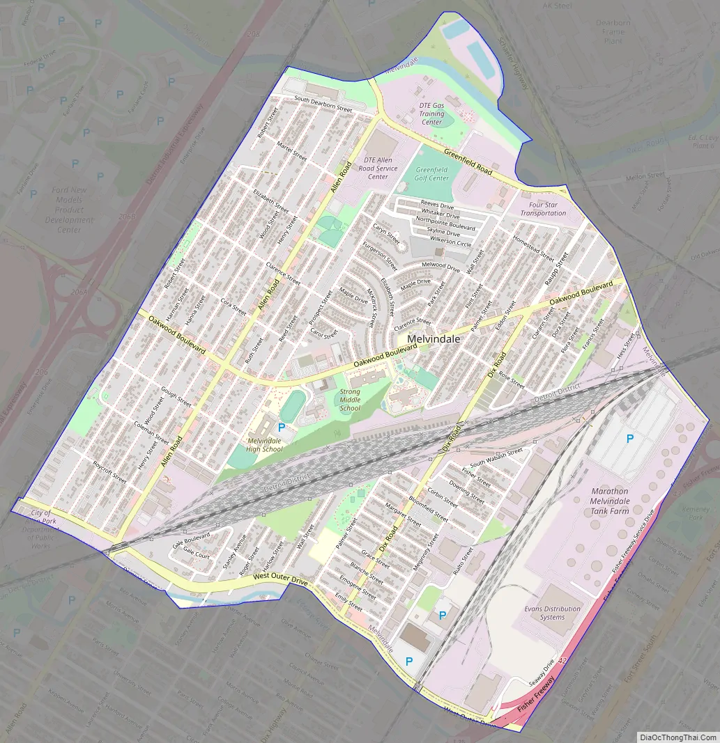
Melvindale Road Map
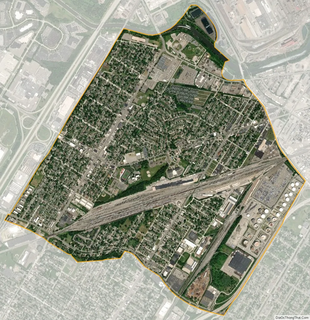
Melvindale city Satellite Map
Geography
According to the United States Census Bureau, the city has a total area of 2.76 square miles (7.15 km), of which 2.72 square miles (7.04 km) is land and 0.04 square miles (0.10 km) is water.
Melvindale serves an important role for railroad traffic in Metro Detroit. The Norfolk Southern Railway Oakwood Yard, located along its Detroit District, divides the city into northwest and southeast sides. The Canadian National Railway Dearborn Subdivision serves as the city’s western boundary, and the Conrail Shared Assets Lincoln Secondary, serving as a direct route between Detroit and Toledo, Ohio for CSX Transportation trains, passes through industrial areas in the far southeast corner of the city, which is also the location of the remnants of the Conrail Lincoln Yard.
See also
Map of Michigan State and its subdivision:- Alcona
- Alger
- Allegan
- Alpena
- Antrim
- Arenac
- Baraga
- Barry
- Bay
- Benzie
- Berrien
- Branch
- Calhoun
- Cass
- Charlevoix
- Cheboygan
- Chippewa
- Clare
- Clinton
- Crawford
- Delta
- Dickinson
- Eaton
- Emmet
- Genesee
- Gladwin
- Gogebic
- Grand Traverse
- Gratiot
- Hillsdale
- Houghton
- Huron
- Ingham
- Ionia
- Iosco
- Iron
- Isabella
- Jackson
- Kalamazoo
- Kalkaska
- Kent
- Keweenaw
- Lake
- Lake Hurron
- Lake Michigan
- Lake St. Clair
- Lake Superior
- Lapeer
- Leelanau
- Lenawee
- Livingston
- Luce
- Mackinac
- Macomb
- Manistee
- Marquette
- Mason
- Mecosta
- Menominee
- Midland
- Missaukee
- Monroe
- Montcalm
- Montmorency
- Muskegon
- Newaygo
- Oakland
- Oceana
- Ogemaw
- Ontonagon
- Osceola
- Oscoda
- Otsego
- Ottawa
- Presque Isle
- Roscommon
- Saginaw
- Saint Clair
- Saint Joseph
- Sanilac
- Schoolcraft
- Shiawassee
- Tuscola
- Van Buren
- Washtenaw
- Wayne
- Wexford
- Alabama
- Alaska
- Arizona
- Arkansas
- California
- Colorado
- Connecticut
- Delaware
- District of Columbia
- Florida
- Georgia
- Hawaii
- Idaho
- Illinois
- Indiana
- Iowa
- Kansas
- Kentucky
- Louisiana
- Maine
- Maryland
- Massachusetts
- Michigan
- Minnesota
- Mississippi
- Missouri
- Montana
- Nebraska
- Nevada
- New Hampshire
- New Jersey
- New Mexico
- New York
- North Carolina
- North Dakota
- Ohio
- Oklahoma
- Oregon
- Pennsylvania
- Rhode Island
- South Carolina
- South Dakota
- Tennessee
- Texas
- Utah
- Vermont
- Virginia
- Washington
- West Virginia
- Wisconsin
- Wyoming


