Mendon is a village in St. Joseph County in the U.S. state of Michigan. The population was 870 at the 2010 census. The village is located within Mendon Township.
| Name: | Mendon village |
|---|---|
| LSAD Code: | 47 |
| LSAD Description: | village (suffix) |
| State: | Michigan |
| County: | St. Joseph County |
| Elevation: | 843 ft (257 m) |
| Total Area: | 0.99 sq mi (2.56 km²) |
| Land Area: | 0.98 sq mi (2.53 km²) |
| Water Area: | 0.01 sq mi (0.02 km²) |
| Total Population: | 881 |
| Population Density: | 900.82/sq mi (347.73/km²) |
| Area code: | 269 |
| FIPS code: | 2652980 |
| GNISfeature ID: | 1624728 |
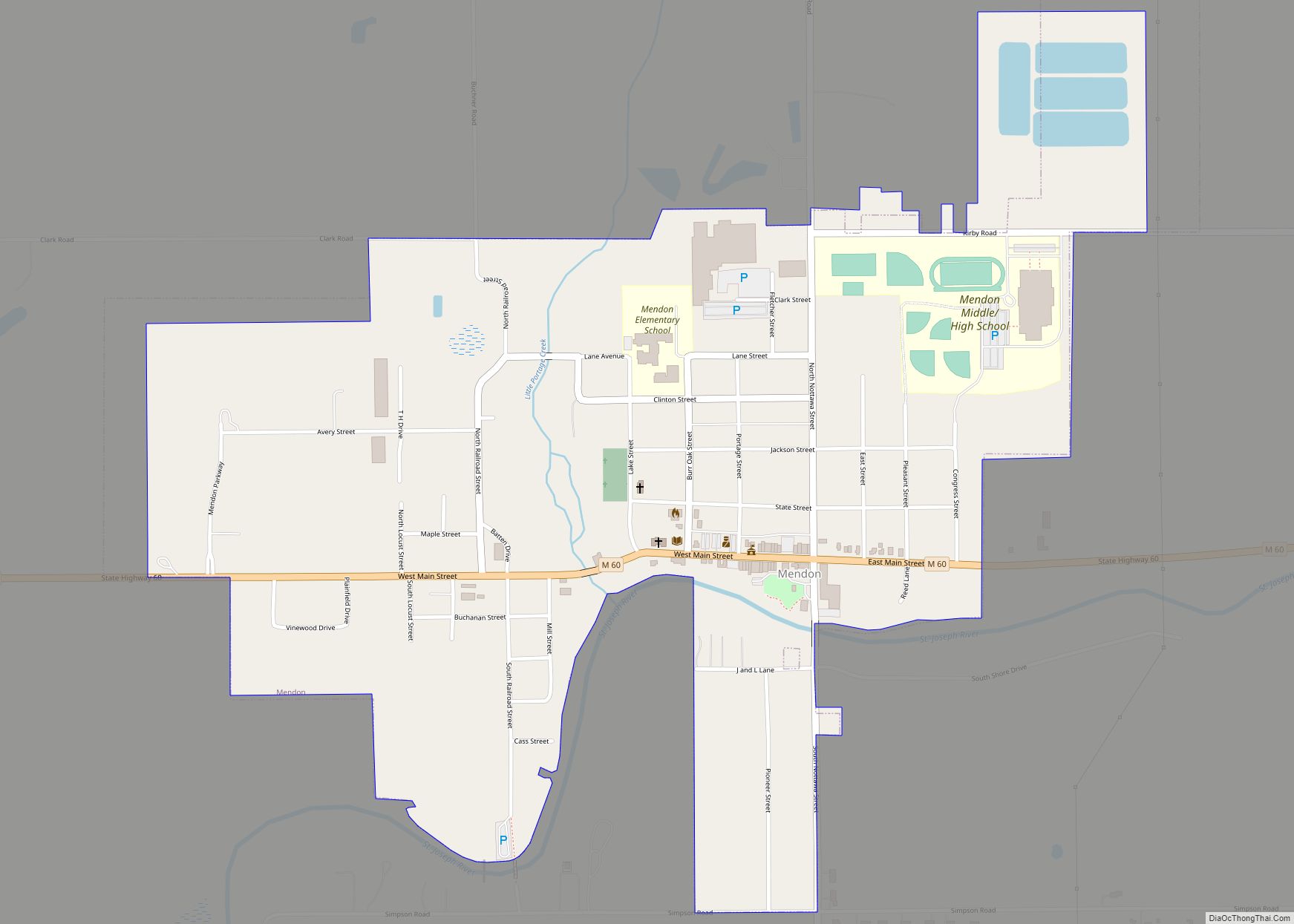
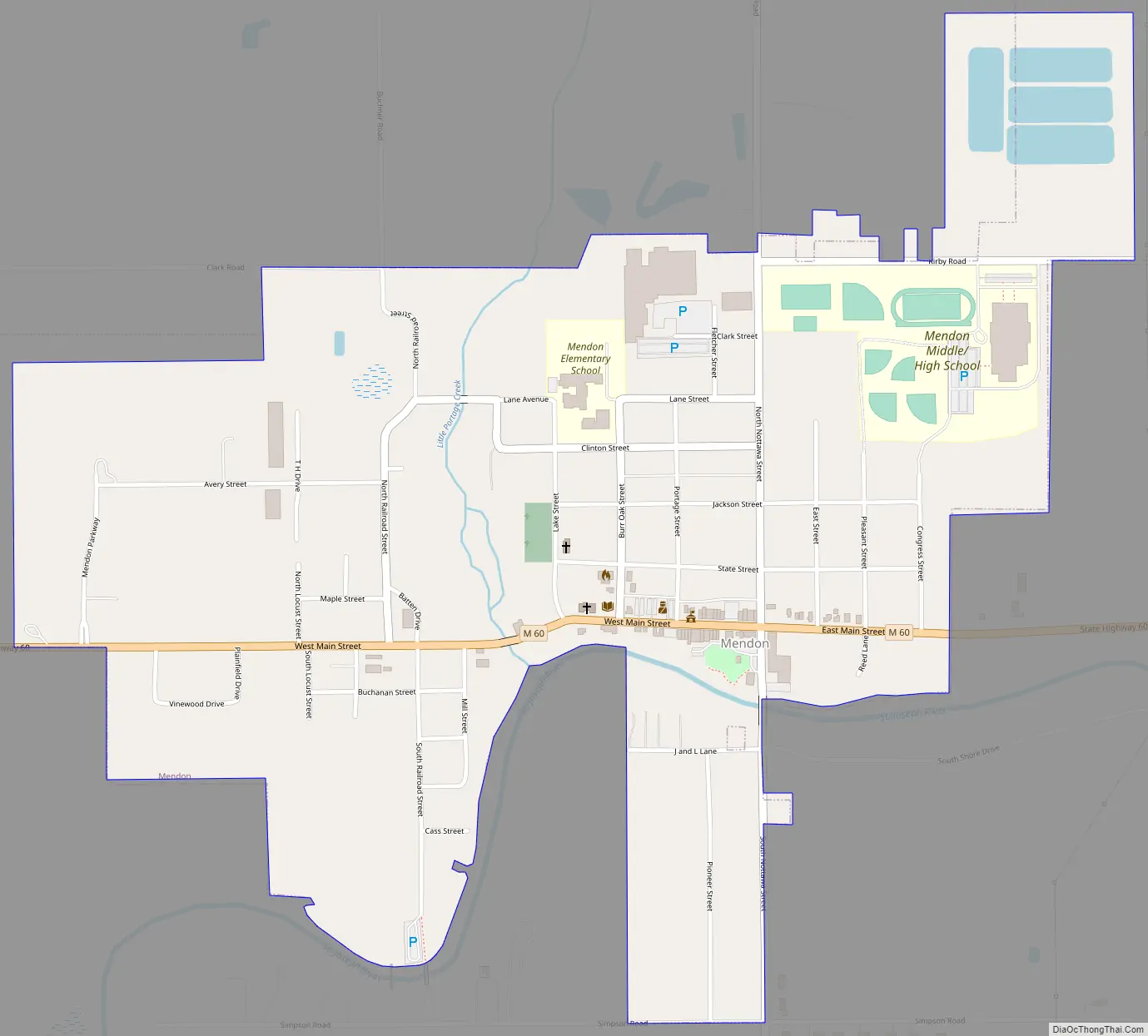
Online Interactive Map
Click on ![]() to view map in "full screen" mode.
to view map in "full screen" mode.
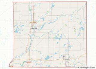
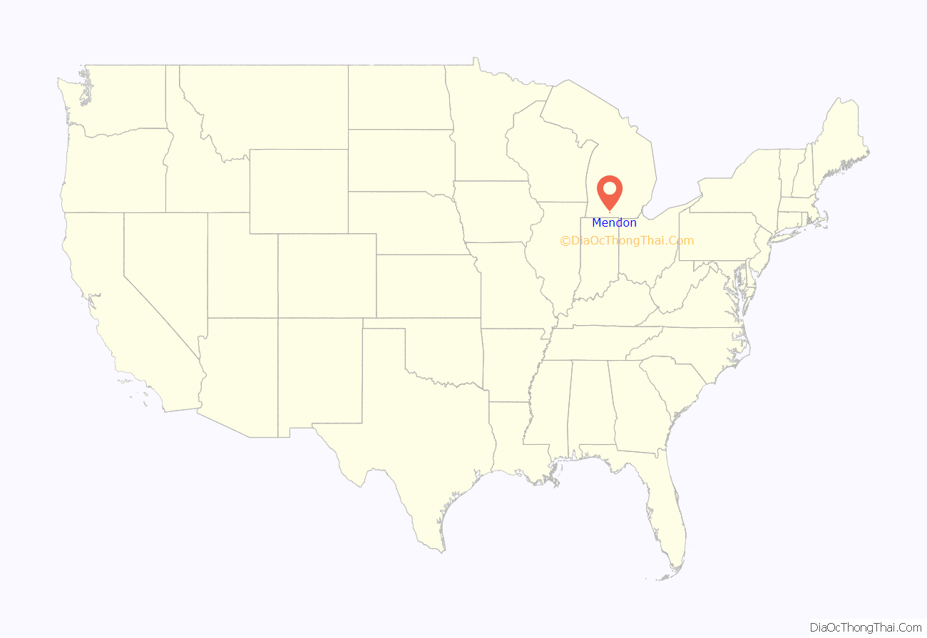
Mendon location map. Where is Mendon village?
History
This area along the St. Joseph River was settled in the colonial period by French pioneers from Quebec and France. They traded with the Potawatomi and other Algonquian-speaking tribes of the area.
After United States acquisition of this territory following the American Revolution, settlers began to enter from eastern states in the early 19th century. The original county of St. Joseph was divided by Americans into townships. Mendon township was settled in 1831. The village of Mendon was platted in 1845.
On April 11, 1905, city activists who supported a public library received a matching construction grant from the Carnegie Foundation. They built the Mendon Township Library, which is one of the many Carnegie Libraries still in operation to this day.
Mendon is the home of two landmarks that are listed on the National Register of Historic Places. The Marantette House was added to the list in 1973; it was built by an ethnic French man from Detroit who had traded with the Potawatomi at their settlement of Nottawaseepe. The Marantette Bridge, built at the end of the 19th century, was listed in 2001.
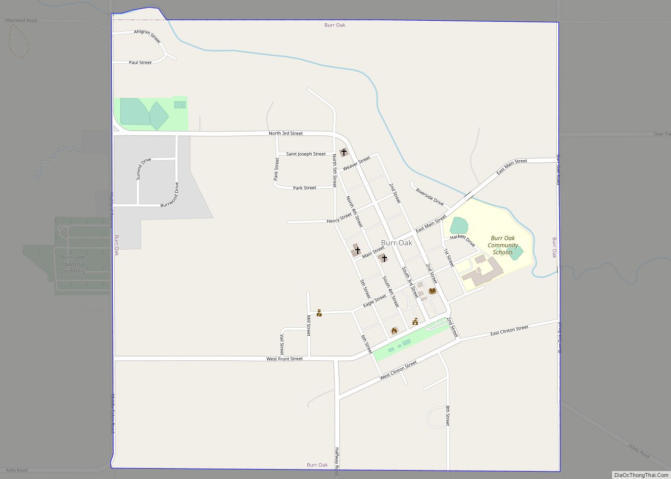
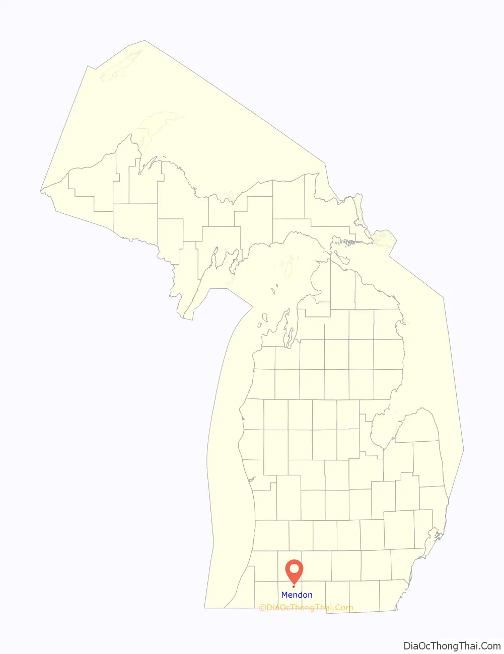
Mendon Road Map
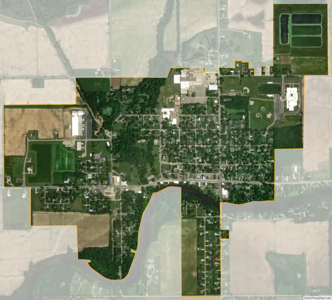
Mendon city Satellite Map
Geography
According to the United States Census Bureau, the village has a total area of 1.02 square miles (2.64 km), of which 1.01 square miles (2.62 km) is land and 0.01 square miles (0.03 km) is water.
See also
Map of Michigan State and its subdivision:- Alcona
- Alger
- Allegan
- Alpena
- Antrim
- Arenac
- Baraga
- Barry
- Bay
- Benzie
- Berrien
- Branch
- Calhoun
- Cass
- Charlevoix
- Cheboygan
- Chippewa
- Clare
- Clinton
- Crawford
- Delta
- Dickinson
- Eaton
- Emmet
- Genesee
- Gladwin
- Gogebic
- Grand Traverse
- Gratiot
- Hillsdale
- Houghton
- Huron
- Ingham
- Ionia
- Iosco
- Iron
- Isabella
- Jackson
- Kalamazoo
- Kalkaska
- Kent
- Keweenaw
- Lake
- Lake Hurron
- Lake Michigan
- Lake St. Clair
- Lake Superior
- Lapeer
- Leelanau
- Lenawee
- Livingston
- Luce
- Mackinac
- Macomb
- Manistee
- Marquette
- Mason
- Mecosta
- Menominee
- Midland
- Missaukee
- Monroe
- Montcalm
- Montmorency
- Muskegon
- Newaygo
- Oakland
- Oceana
- Ogemaw
- Ontonagon
- Osceola
- Oscoda
- Otsego
- Ottawa
- Presque Isle
- Roscommon
- Saginaw
- Saint Clair
- Saint Joseph
- Sanilac
- Schoolcraft
- Shiawassee
- Tuscola
- Van Buren
- Washtenaw
- Wayne
- Wexford
- Alabama
- Alaska
- Arizona
- Arkansas
- California
- Colorado
- Connecticut
- Delaware
- District of Columbia
- Florida
- Georgia
- Hawaii
- Idaho
- Illinois
- Indiana
- Iowa
- Kansas
- Kentucky
- Louisiana
- Maine
- Maryland
- Massachusetts
- Michigan
- Minnesota
- Mississippi
- Missouri
- Montana
- Nebraska
- Nevada
- New Hampshire
- New Jersey
- New Mexico
- New York
- North Carolina
- North Dakota
- Ohio
- Oklahoma
- Oregon
- Pennsylvania
- Rhode Island
- South Carolina
- South Dakota
- Tennessee
- Texas
- Utah
- Vermont
- Virginia
- Washington
- West Virginia
- Wisconsin
- Wyoming