Middleville is a village in Thornapple Township, Barry County, in the U.S. state of Michigan and part of the Grand Rapids metropolitan area. The population was 4,295 at the 2020 census.
| Name: | Middleville village |
|---|---|
| LSAD Code: | 47 |
| LSAD Description: | village (suffix) |
| State: | Michigan |
| County: | Barry County |
| Elevation: | 764 ft (233 m) |
| Land Area: | 2.44 sq mi (6.32 km²) |
| Water Area: | 0.12 sq mi (0.31 km²) |
| Population Density: | 1,760.25/sq mi (679.56/km²) |
| ZIP code: | 49333 |
| Area code: | Area code 269 (Formerly 616) |
| FIPS code: | 2653760 |
| GNISfeature ID: | 0632281 |
| Website: | www.villageofmiddleville.org |
Online Interactive Map
Click on ![]() to view map in "full screen" mode.
to view map in "full screen" mode.
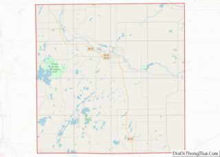
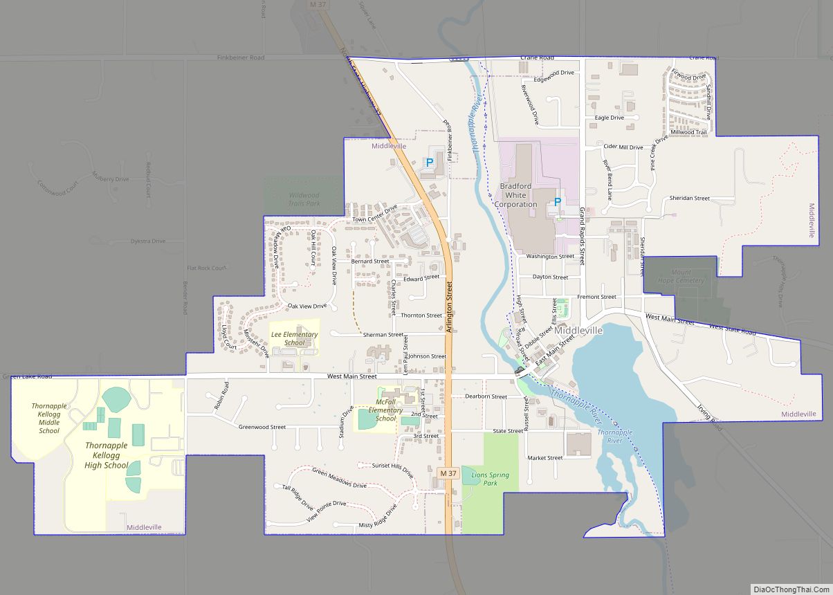
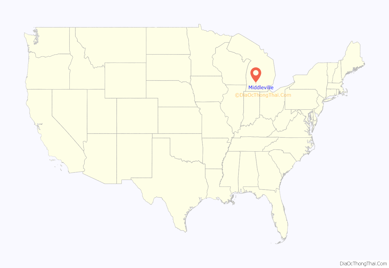
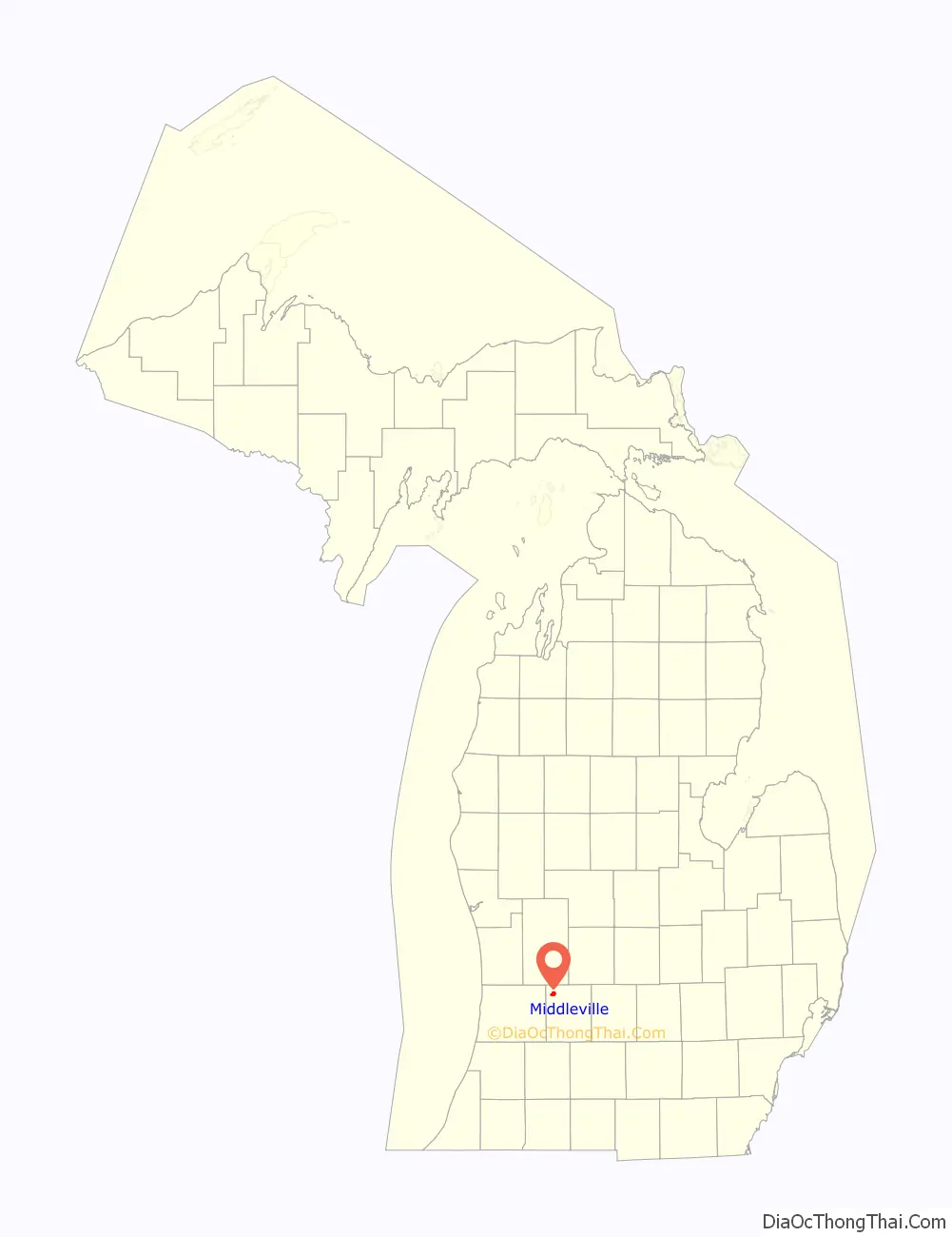
Middleville location map. Where is Middleville village?
History
The first white settler to own land in the village was Calvin G. Hill, a native of New York, who bought 400 acres (1.6 km) in 1834 on both sides of the Thornapple River. The village was likely surveyed and subdivided before 1850, but the plat was not officially recorded until 1859. Prior to 1843, the settlement was often called “Thornapple”. The name Middleville was at first given to a post office on the stage coach line between Grand Rapids and Kalamazoo. The post office was located at the house of Benjamin S. Dibble in section 2 in northeast Yankee Springs Township. Dibble had agreed to accept the post office at the request of U.S. Representative Lucius Lyon, of Kent County. Lyon suggested the name “Dibbleville”, but Dibble disliked that name. “Middleville” was suggested because of the proximity of an Indian village known as “Middle Village” on Scales Prairie near the boundary line between Thornapple and Yankee Springs townships. Dibble was appointed postmaster in July 1839 and continued until 1842. The next postmaster, John W. Bradley, continued to maintain the post office at Dibble’s house until 1843, when it was moved to the present village of Middleville, with Calvin G. Hill as the postmaster. The village afterwards became known by the name of the post office. The location of the original Indian village is NNE a few hundred yards of the present day intersection where Norris Rd. ends at Adams Rd. http://www.dnr.state.mi.us/spatialdatalibrary/pdf_maps/glo_plats/barry/04n10w.pdf
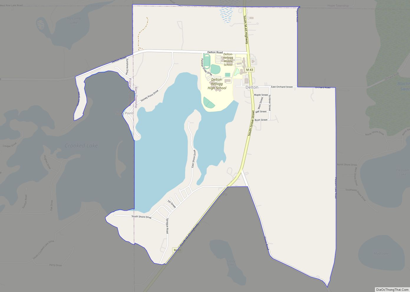
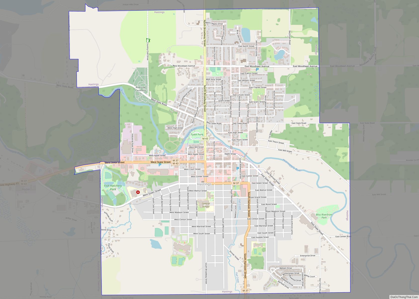
Middleville Road Map
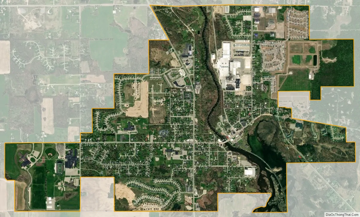
Middleville city Satellite Map
Geography
According to the United States Census Bureau, the village has a total area of 2.40 square miles (6.22 km), of which 2.28 square miles (5.91 km) is land and 0.12 square miles (0.31 km) is water.
Several West Michigan television stations have their transmitting towers in the Middleville area, including: WOOD-TV and WXMI.
See also
Map of Michigan State and its subdivision:- Alcona
- Alger
- Allegan
- Alpena
- Antrim
- Arenac
- Baraga
- Barry
- Bay
- Benzie
- Berrien
- Branch
- Calhoun
- Cass
- Charlevoix
- Cheboygan
- Chippewa
- Clare
- Clinton
- Crawford
- Delta
- Dickinson
- Eaton
- Emmet
- Genesee
- Gladwin
- Gogebic
- Grand Traverse
- Gratiot
- Hillsdale
- Houghton
- Huron
- Ingham
- Ionia
- Iosco
- Iron
- Isabella
- Jackson
- Kalamazoo
- Kalkaska
- Kent
- Keweenaw
- Lake
- Lake Hurron
- Lake Michigan
- Lake St. Clair
- Lake Superior
- Lapeer
- Leelanau
- Lenawee
- Livingston
- Luce
- Mackinac
- Macomb
- Manistee
- Marquette
- Mason
- Mecosta
- Menominee
- Midland
- Missaukee
- Monroe
- Montcalm
- Montmorency
- Muskegon
- Newaygo
- Oakland
- Oceana
- Ogemaw
- Ontonagon
- Osceola
- Oscoda
- Otsego
- Ottawa
- Presque Isle
- Roscommon
- Saginaw
- Saint Clair
- Saint Joseph
- Sanilac
- Schoolcraft
- Shiawassee
- Tuscola
- Van Buren
- Washtenaw
- Wayne
- Wexford
- Alabama
- Alaska
- Arizona
- Arkansas
- California
- Colorado
- Connecticut
- Delaware
- District of Columbia
- Florida
- Georgia
- Hawaii
- Idaho
- Illinois
- Indiana
- Iowa
- Kansas
- Kentucky
- Louisiana
- Maine
- Maryland
- Massachusetts
- Michigan
- Minnesota
- Mississippi
- Missouri
- Montana
- Nebraska
- Nevada
- New Hampshire
- New Jersey
- New Mexico
- New York
- North Carolina
- North Dakota
- Ohio
- Oklahoma
- Oregon
- Pennsylvania
- Rhode Island
- South Carolina
- South Dakota
- Tennessee
- Texas
- Utah
- Vermont
- Virginia
- Washington
- West Virginia
- Wisconsin
- Wyoming