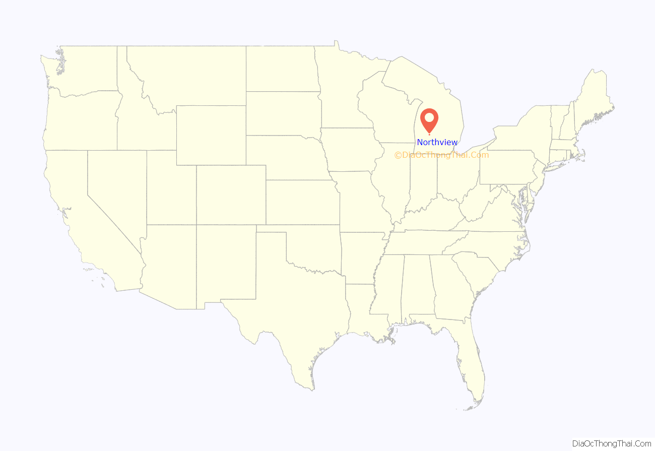
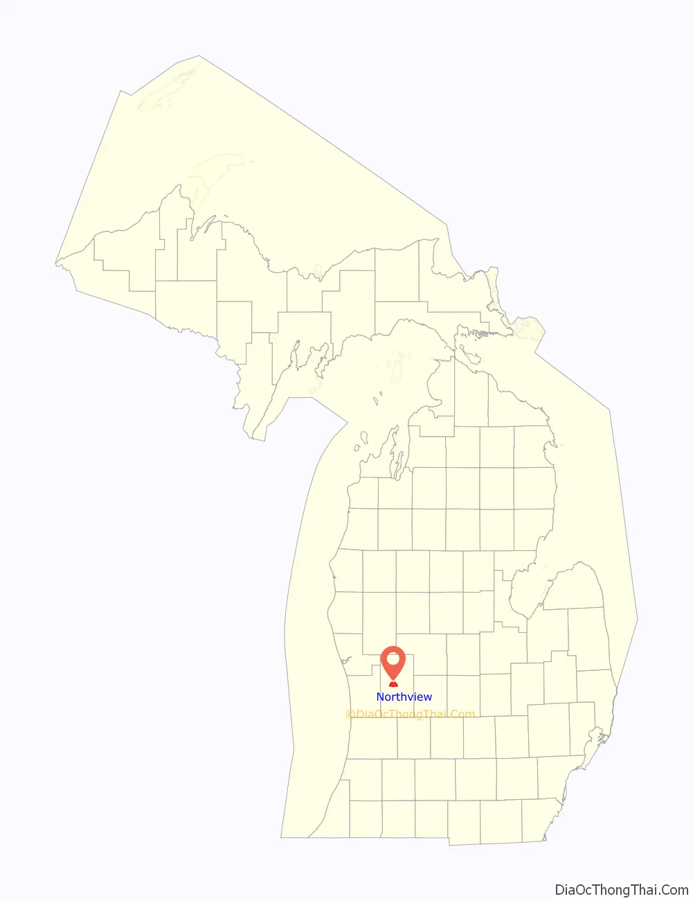
Northview is an unincorporated community and census-designated place (CDP) in Kent County in the U.S. state of Michigan. The population was 14,541 at the 2010 census. The community is located mostly within Plainfield Township with a very small portion extending into Grand Rapids Township to the south.
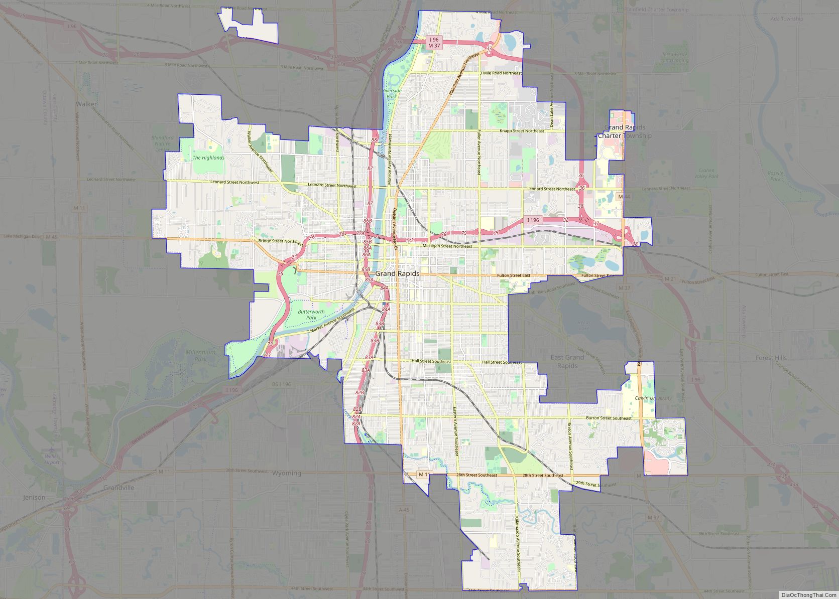
The community is part of the Grand Rapids metropolitan area and borders the city of Grand Rapids to the south.
| Name: | Northview CDP |
|---|---|
| LSAD Code: | 57 |
| LSAD Description: | CDP (suffix) |
| State: | Michigan |
| County: | Kent County |
| Elevation: | 741 ft (226 m) |
| Total Area: | 11.01 sq mi (28.52 km²) |
| Land Area: | 10.30 sq mi (26.67 km²) |
| Water Area: | 0.72 sq mi (1.85 km²) |
| Total Population: | 15,301 |
| Population Density: | 1,486.11/sq mi (573.78/km²) |
| Area code: | 616 |
| FIPS code: | 2658945 |
| GNISfeature ID: | 1867321 |
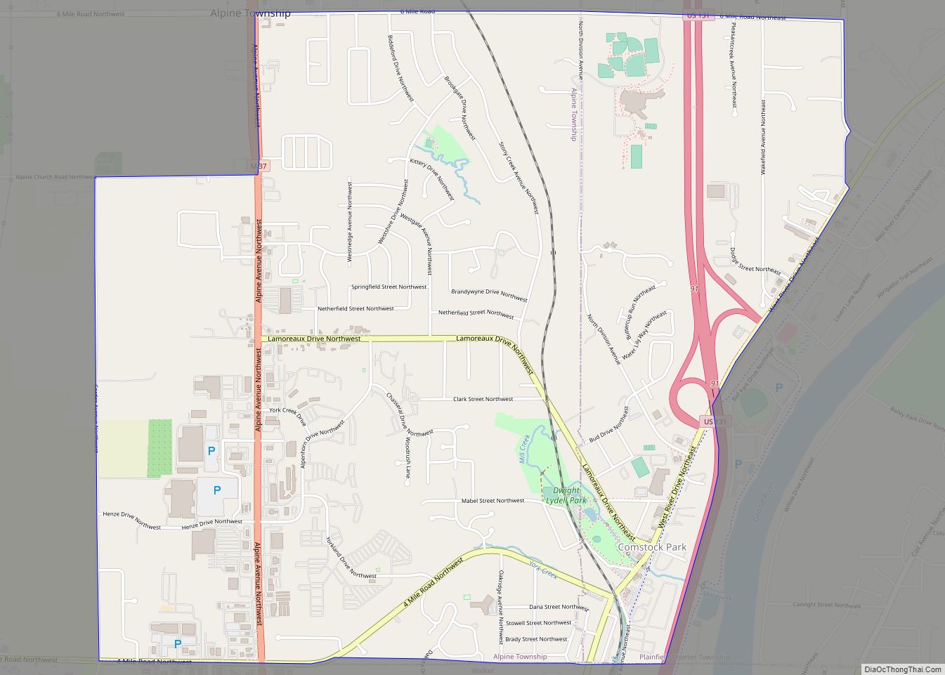
Online Interactive Map
Click on ![]() to view map in "full screen" mode.
to view map in "full screen" mode.
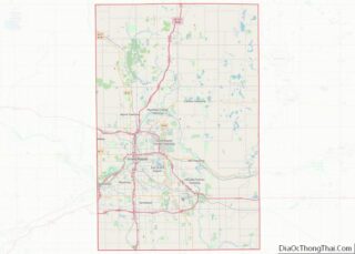
Northview location map. Where is Northview CDP?
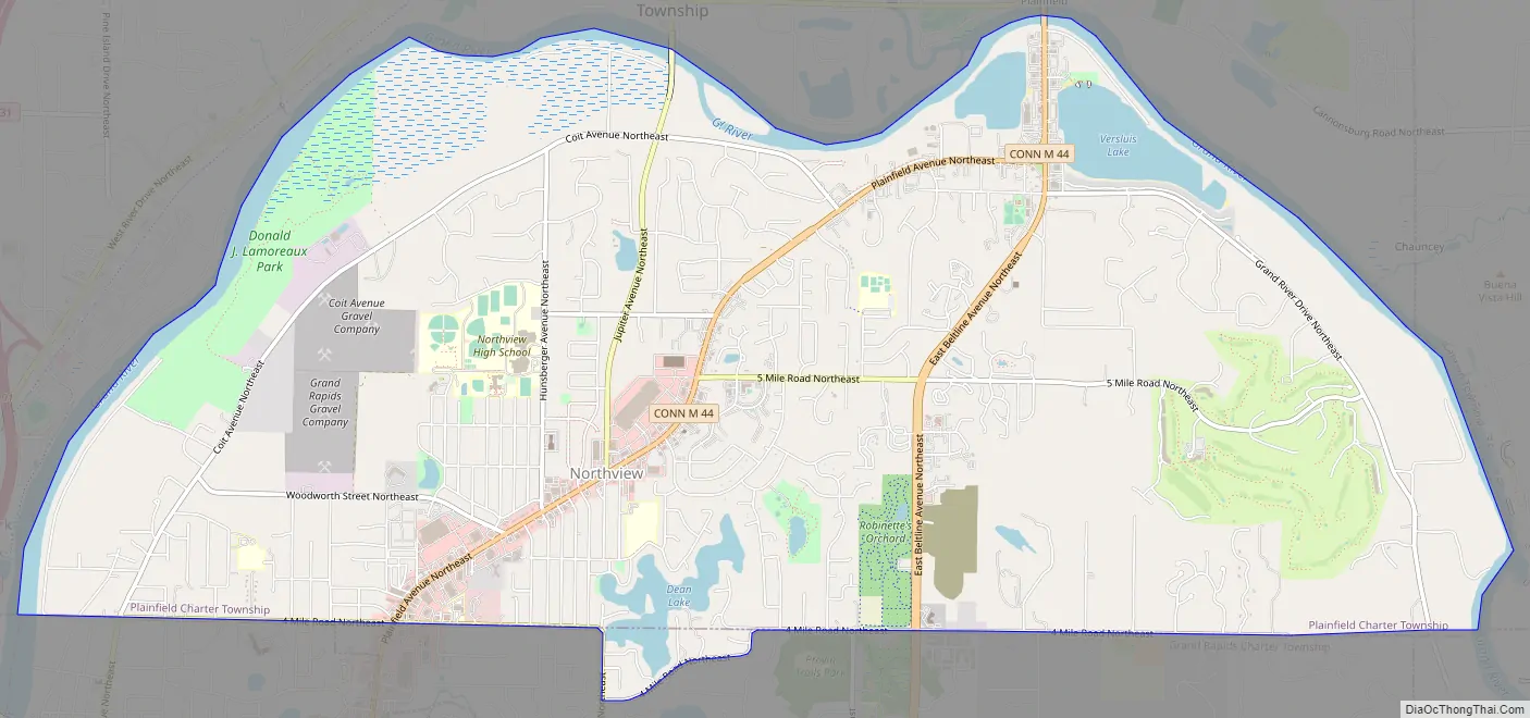
Northview Road Map
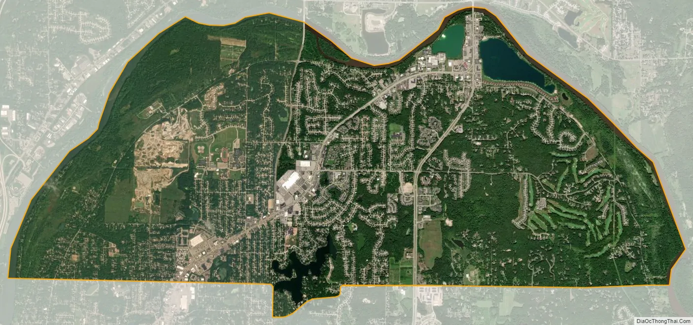
Northview city Satellite Map
Geography
According to the U.S. Census Bureau, the Northview CDP has a total area of 11.03 square miles (28.57 km), of which 10.33 square miles (26.75 km) is land and 0.70 square miles (1.81 km) (6.18%) is water.
The CDP is almost entirely within Plainfield Charter Township and consists of the area north of the boundary with Grand Rapids and Grand Rapids Township and south of the Grand River. It also includes a small portion of Grand Rapids Township around the southern end of Dean Lake. It is considered part of the urbanized area around Grand Rapids.
The CDP takes its name from the Northview Public Schools district, although the district includes a larger portion of Grand Rapids Township and a small area of the city of Grand Rapids.
Major highways
- M-44, known locally as Beltline Avenue, runs south–north through the center of the community. M-44 also contains a connector route within the community that links it to Interstate 96 to the south in Grand Rapids.
See also
Map of Michigan State and its subdivision:- Alcona
- Alger
- Allegan
- Alpena
- Antrim
- Arenac
- Baraga
- Barry
- Bay
- Benzie
- Berrien
- Branch
- Calhoun
- Cass
- Charlevoix
- Cheboygan
- Chippewa
- Clare
- Clinton
- Crawford
- Delta
- Dickinson
- Eaton
- Emmet
- Genesee
- Gladwin
- Gogebic
- Grand Traverse
- Gratiot
- Hillsdale
- Houghton
- Huron
- Ingham
- Ionia
- Iosco
- Iron
- Isabella
- Jackson
- Kalamazoo
- Kalkaska
- Kent
- Keweenaw
- Lake
- Lake Hurron
- Lake Michigan
- Lake St. Clair
- Lake Superior
- Lapeer
- Leelanau
- Lenawee
- Livingston
- Luce
- Mackinac
- Macomb
- Manistee
- Marquette
- Mason
- Mecosta
- Menominee
- Midland
- Missaukee
- Monroe
- Montcalm
- Montmorency
- Muskegon
- Newaygo
- Oakland
- Oceana
- Ogemaw
- Ontonagon
- Osceola
- Oscoda
- Otsego
- Ottawa
- Presque Isle
- Roscommon
- Saginaw
- Saint Clair
- Saint Joseph
- Sanilac
- Schoolcraft
- Shiawassee
- Tuscola
- Van Buren
- Washtenaw
- Wayne
- Wexford
- Alabama
- Alaska
- Arizona
- Arkansas
- California
- Colorado
- Connecticut
- Delaware
- District of Columbia
- Florida
- Georgia
- Hawaii
- Idaho
- Illinois
- Indiana
- Iowa
- Kansas
- Kentucky
- Louisiana
- Maine
- Maryland
- Massachusetts
- Michigan
- Minnesota
- Mississippi
- Missouri
- Montana
- Nebraska
- Nevada
- New Hampshire
- New Jersey
- New Mexico
- New York
- North Carolina
- North Dakota
- Ohio
- Oklahoma
- Oregon
- Pennsylvania
- Rhode Island
- South Carolina
- South Dakota
- Tennessee
- Texas
- Utah
- Vermont
- Virginia
- Washington
- West Virginia
- Wisconsin
- Wyoming