Omer is a city in Arenac County in the U.S. state of Michigan. The population was 274 at the 2020 census, which ranks it as the least-populated city in the state.
Omer is consistently ranked as “Michigan’s Smallest City” in terms of population, although the city of Lake Angelus held this distinction when it recorded a lower population at the 2010 census. Lake Angelus recorded a higher population of 287 at the 2020 census, making Omer again the state’s least-populated city.
| Name: | Omer city |
|---|---|
| LSAD Code: | 25 |
| LSAD Description: | city (suffix) |
| State: | Michigan |
| County: | Arenac County |
| Incorporated: | 1903 |
| Elevation: | 610 ft (186 m) |
| Total Area: | 1.16 sq mi (3.00 km²) |
| Land Area: | 1.13 sq mi (2.93 km²) |
| Water Area: | 0.03 sq mi (0.07 km²) |
| Total Population: | 274 |
| Population Density: | 242.05/sq mi (93.42/km²) |
| Area code: | 989 |
| FIPS code: | 2660660 |
| GNISfeature ID: | 0634057 |
Online Interactive Map
Click on ![]() to view map in "full screen" mode.
to view map in "full screen" mode.
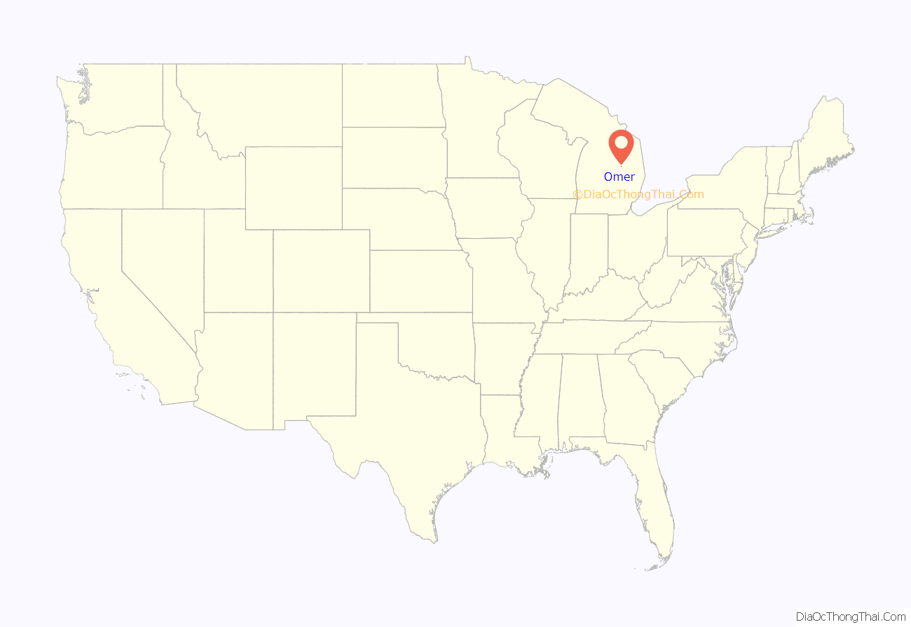
Omer location map. Where is Omer city?
History
Omer was founded by George Gorie and George Carscallen, who set up a sawmill along the Rifle River in 1866. The town was originally named Rifle River Mills, but Carscallen, the first postmaster, wanted to rename the town Homer. However, he found a post office in another town called Homer, Michigan and simply dropped the leading H, producing the final name. The community received a station on the Detroit and Mackinaw Railroad, while in 1872 the area was platted. In 1883, Omer was split off from Bay County into the newly formed Arenac County.
Omer was incorporated as a city in 1903. A fire in 1914 almost eliminated the city, destroying 40 buildings and ending the early thrive that Omer had. Two years later, a flood curtailed rebuilding efforts by washing out the local dam.
Omer is the location of the story of the “cussing canoeist”, the man who received a ticket under a century-old law for shouting a long stream of expletives in the presence of a woman and her two young children after he fell out of a canoe on the Rifle River. The American Civil Liberties Union intervened on the canoeist’s behalf and got the law struck down in court.
A second news story of note concerned the successful secession of two households from the city because the City of Omer was charging them a water tax while refusing to deliver water service to their property.
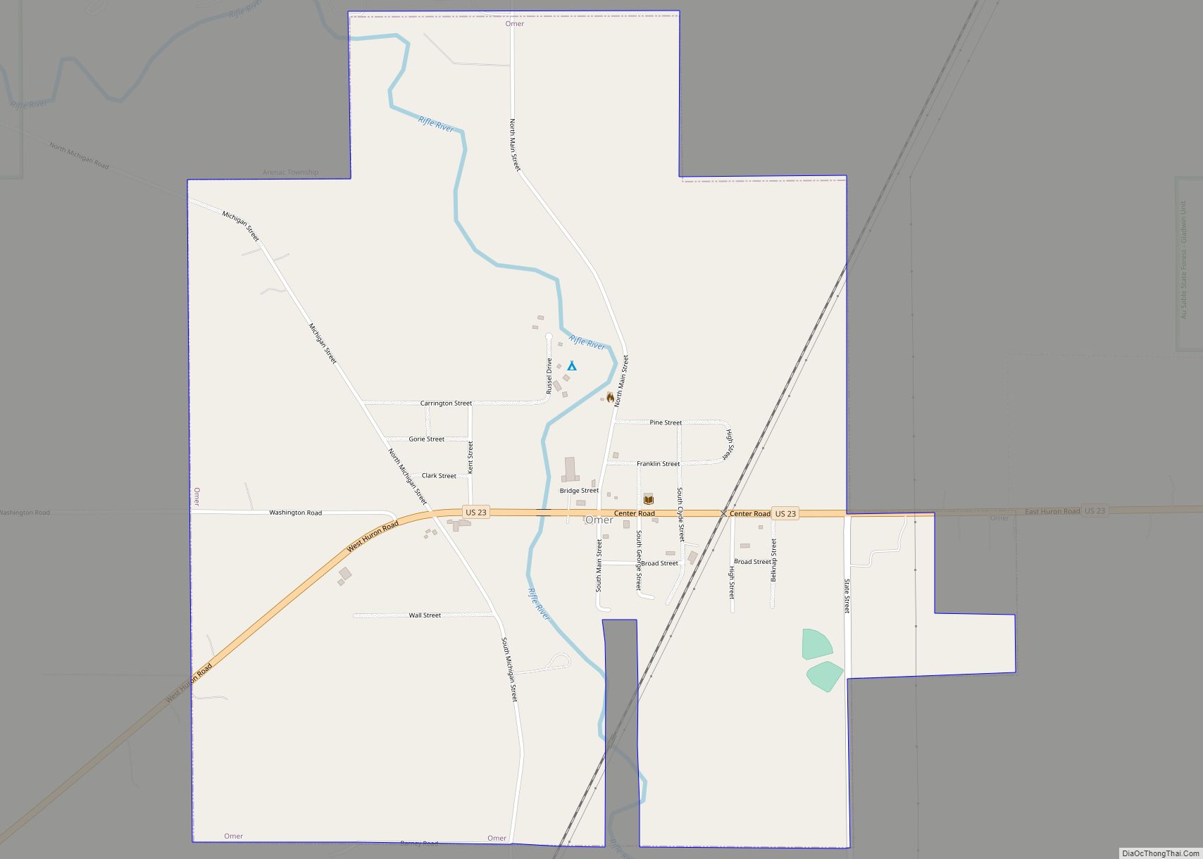
Omer Road Map
Omer city Satellite Map
Geography
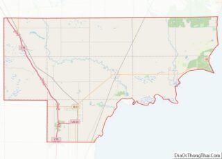
According to the United States Census Bureau, the city has a total area of 1.16 square miles (3.00 km) of which 1.13 square miles (2.93 km) is land and 0.03 square miles (0.08 km) (2.59%) is water.
The Rifle River runs through the city, which is a prominent fishing location for sucker fish in the spring. An annual festival and fishing tournament are held in Omer.
Major highways
- US 23 runs west–east through the city.
See also
Map of Michigan State and its subdivision:- Alcona
- Alger
- Allegan
- Alpena
- Antrim
- Arenac
- Baraga
- Barry
- Bay
- Benzie
- Berrien
- Branch
- Calhoun
- Cass
- Charlevoix
- Cheboygan
- Chippewa
- Clare
- Clinton
- Crawford
- Delta
- Dickinson
- Eaton
- Emmet
- Genesee
- Gladwin
- Gogebic
- Grand Traverse
- Gratiot
- Hillsdale
- Houghton
- Huron
- Ingham
- Ionia
- Iosco
- Iron
- Isabella
- Jackson
- Kalamazoo
- Kalkaska
- Kent
- Keweenaw
- Lake
- Lake Hurron
- Lake Michigan
- Lake St. Clair
- Lake Superior
- Lapeer
- Leelanau
- Lenawee
- Livingston
- Luce
- Mackinac
- Macomb
- Manistee
- Marquette
- Mason
- Mecosta
- Menominee
- Midland
- Missaukee
- Monroe
- Montcalm
- Montmorency
- Muskegon
- Newaygo
- Oakland
- Oceana
- Ogemaw
- Ontonagon
- Osceola
- Oscoda
- Otsego
- Ottawa
- Presque Isle
- Roscommon
- Saginaw
- Saint Clair
- Saint Joseph
- Sanilac
- Schoolcraft
- Shiawassee
- Tuscola
- Van Buren
- Washtenaw
- Wayne
- Wexford
- Alabama
- Alaska
- Arizona
- Arkansas
- California
- Colorado
- Connecticut
- Delaware
- District of Columbia
- Florida
- Georgia
- Hawaii
- Idaho
- Illinois
- Indiana
- Iowa
- Kansas
- Kentucky
- Louisiana
- Maine
- Maryland
- Massachusetts
- Michigan
- Minnesota
- Mississippi
- Missouri
- Montana
- Nebraska
- Nevada
- New Hampshire
- New Jersey
- New Mexico
- New York
- North Carolina
- North Dakota
- Ohio
- Oklahoma
- Oregon
- Pennsylvania
- Rhode Island
- South Carolina
- South Dakota
- Tennessee
- Texas
- Utah
- Vermont
- Virginia
- Washington
- West Virginia
- Wisconsin
- Wyoming
