Lake Angelus is a city in Oakland County in the U.S. state of Michigan. It is an affluent suburb of Detroit, with one of the highest per capita incomes of any community in the state.
| Name: | Lake Angelus city |
|---|---|
| LSAD Code: | 25 |
| LSAD Description: | city (suffix) |
| State: | Michigan |
| County: | Oakland County |
| Incorporated: | 1929 (village) 1984 (city) |
| Elevation: | 984 ft (300 m) |
| Land Area: | 0.98 sq mi (2.55 km²) |
| Water Area: | 0.64 sq mi (1.64 km²) 34.36% |
| Population Density: | 291.37/sq mi (112.48/km²) |
| Area code: | 248 |
| FIPS code: | 2644440 |
| GNISfeature ID: | 0629962 |
Online Interactive Map
Click on ![]() to view map in "full screen" mode.
to view map in "full screen" mode.
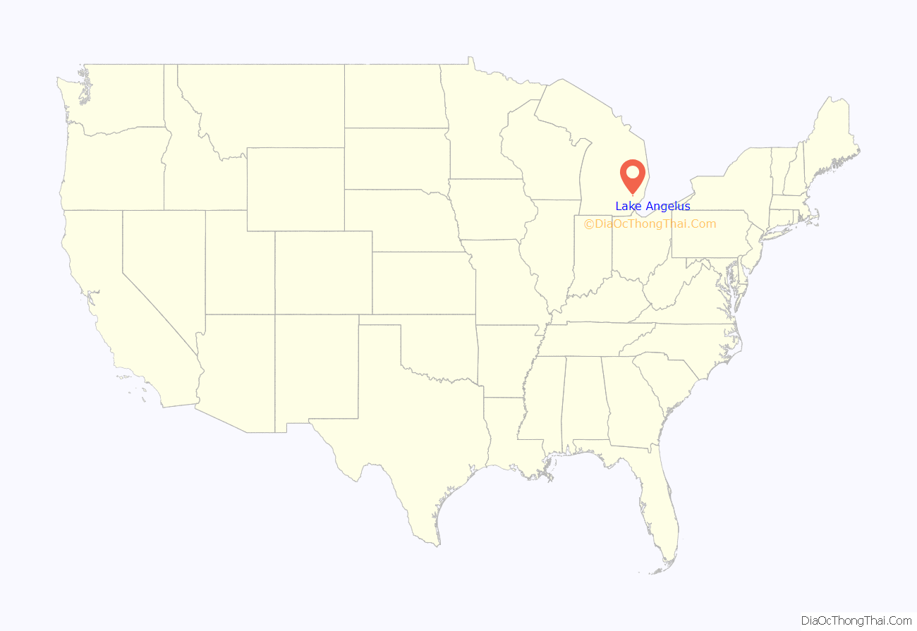
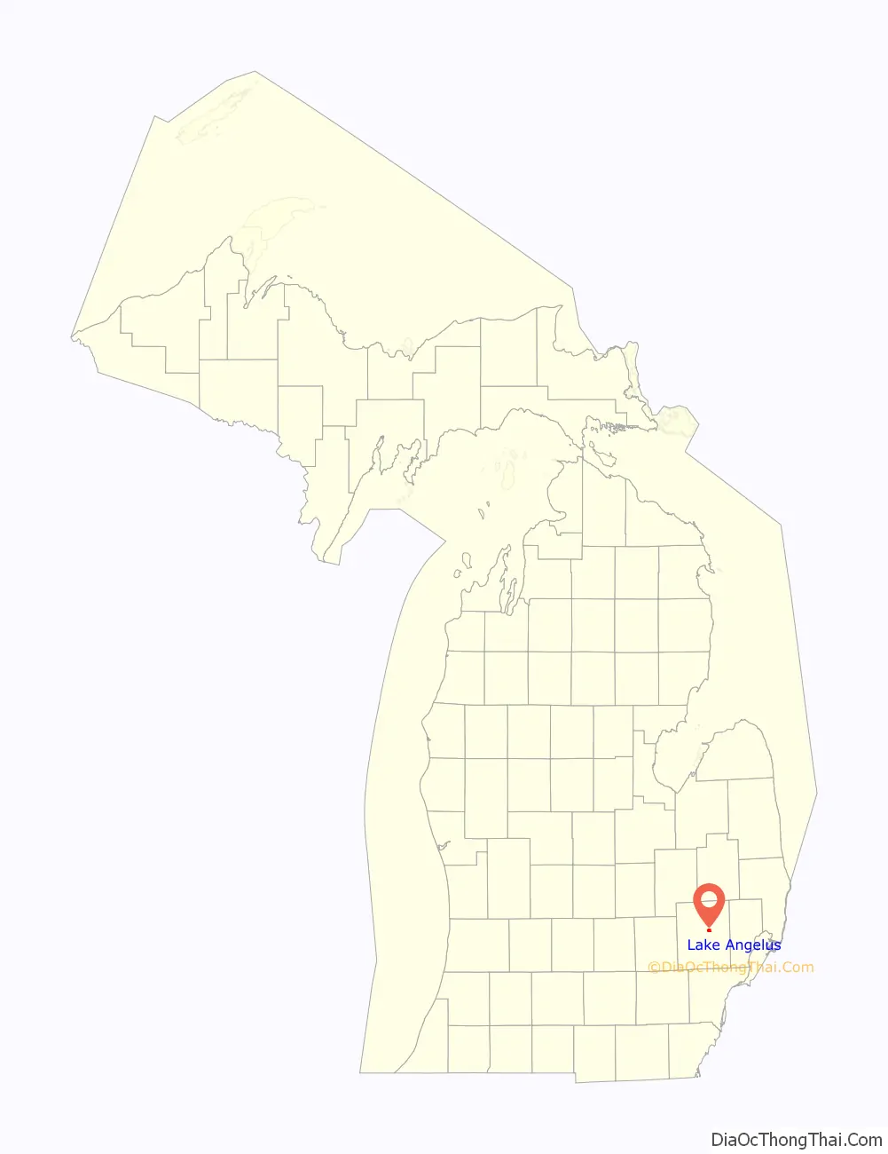
Lake Angelus location map. Where is Lake Angelus city?
History
In the early 1900s, a small community formed around the lake, then called Three Mile Lake. During the 1920s, the lake was renamed Lake Angelus by Mrs. Sollace B. Collidge as the original name stood for the distance from the eastern side of the lake shore to the western shore. The community was under pressure from nearby government establishments to be annexed. In 1929, however, a special state act of legislation was passed, granting Lake Angelus incorporation as a village. Lake Angelus became a city of its own in 1984.
Lake Angelus Road Map

Lake Angelus city Satellite Map

Geography
According to the United States Census Bureau, the city has a total area of 1.63 square miles (4.22 km), of which 1.07 square miles (2.77 km) is land and 0.56 square miles (1.45 km) (34.36%) is water.
The city completely surrounds the lake of the same name. The city is bordered:
- To the north and east by the city of Auburn Hills
- To the south by the city of Pontiac
- To the west by Waterford Township
See also
Map of Michigan State and its subdivision:- Alcona
- Alger
- Allegan
- Alpena
- Antrim
- Arenac
- Baraga
- Barry
- Bay
- Benzie
- Berrien
- Branch
- Calhoun
- Cass
- Charlevoix
- Cheboygan
- Chippewa
- Clare
- Clinton
- Crawford
- Delta
- Dickinson
- Eaton
- Emmet
- Genesee
- Gladwin
- Gogebic
- Grand Traverse
- Gratiot
- Hillsdale
- Houghton
- Huron
- Ingham
- Ionia
- Iosco
- Iron
- Isabella
- Jackson
- Kalamazoo
- Kalkaska
- Kent
- Keweenaw
- Lake
- Lake Hurron
- Lake Michigan
- Lake St. Clair
- Lake Superior
- Lapeer
- Leelanau
- Lenawee
- Livingston
- Luce
- Mackinac
- Macomb
- Manistee
- Marquette
- Mason
- Mecosta
- Menominee
- Midland
- Missaukee
- Monroe
- Montcalm
- Montmorency
- Muskegon
- Newaygo
- Oakland
- Oceana
- Ogemaw
- Ontonagon
- Osceola
- Oscoda
- Otsego
- Ottawa
- Presque Isle
- Roscommon
- Saginaw
- Saint Clair
- Saint Joseph
- Sanilac
- Schoolcraft
- Shiawassee
- Tuscola
- Van Buren
- Washtenaw
- Wayne
- Wexford
- Alabama
- Alaska
- Arizona
- Arkansas
- California
- Colorado
- Connecticut
- Delaware
- District of Columbia
- Florida
- Georgia
- Hawaii
- Idaho
- Illinois
- Indiana
- Iowa
- Kansas
- Kentucky
- Louisiana
- Maine
- Maryland
- Massachusetts
- Michigan
- Minnesota
- Mississippi
- Missouri
- Montana
- Nebraska
- Nevada
- New Hampshire
- New Jersey
- New Mexico
- New York
- North Carolina
- North Dakota
- Ohio
- Oklahoma
- Oregon
- Pennsylvania
- Rhode Island
- South Carolina
- South Dakota
- Tennessee
- Texas
- Utah
- Vermont
- Virginia
- Washington
- West Virginia
- Wisconsin
- Wyoming


