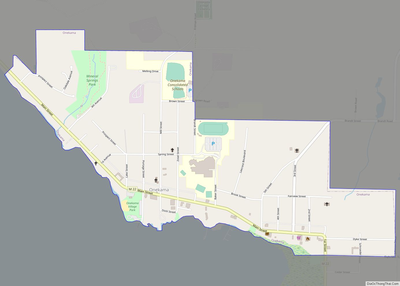
Onekama (/oʊˈnɛkəmə/ oh-NEK-ə-mə) is a village in Manistee County in the U.S. state of Michigan. The population was 399 at the 2020 census. The village is located on the shores of Portage Lake and is surrounded by Onekama Township. The town’s name is derived from “Ona-ga-maa,” an Anishinaabe word which means “singing water.”
| Name: | Onekama village |
|---|---|
| LSAD Code: | 47 |
| LSAD Description: | village (suffix) |
| State: | Michigan |
| County: | Manistee County |
| Elevation: | 607 ft (185 m) |
| Total Area: | 0.59 sq mi (1.52 km²) |
| Land Area: | 0.59 sq mi (1.52 km²) |
| Water Area: | 0.00 sq mi (0.00 km²) |
| Total Population: | 399 |
| Population Density: | 679.73/sq mi (262.46/km²) |
| ZIP code: | 49675 |
| Area code: | 231 |
| FIPS code: | 2660740 |
| GNISfeature ID: | 1621108 |
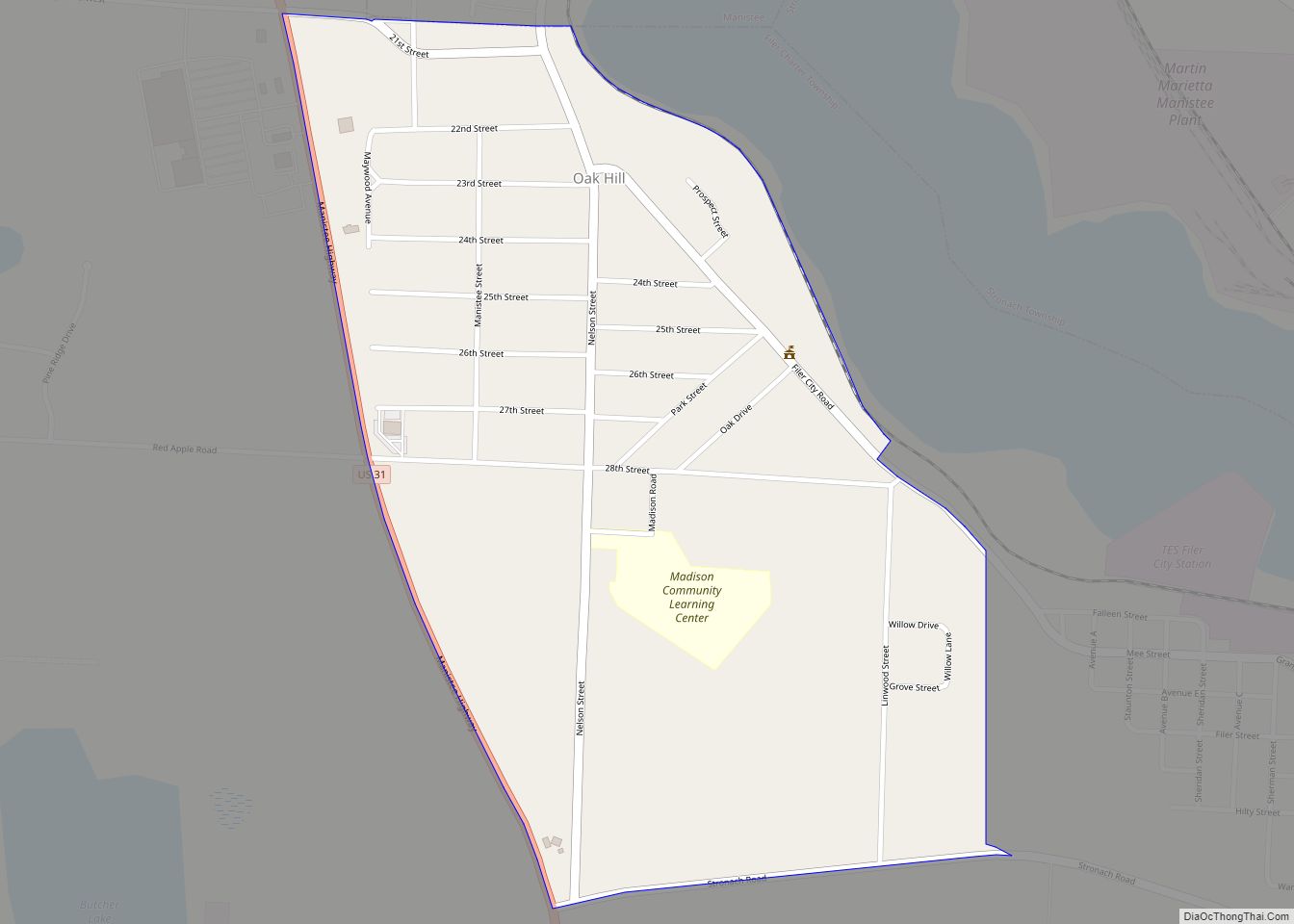
Online Interactive Map
Click on ![]() to view map in "full screen" mode.
to view map in "full screen" mode.
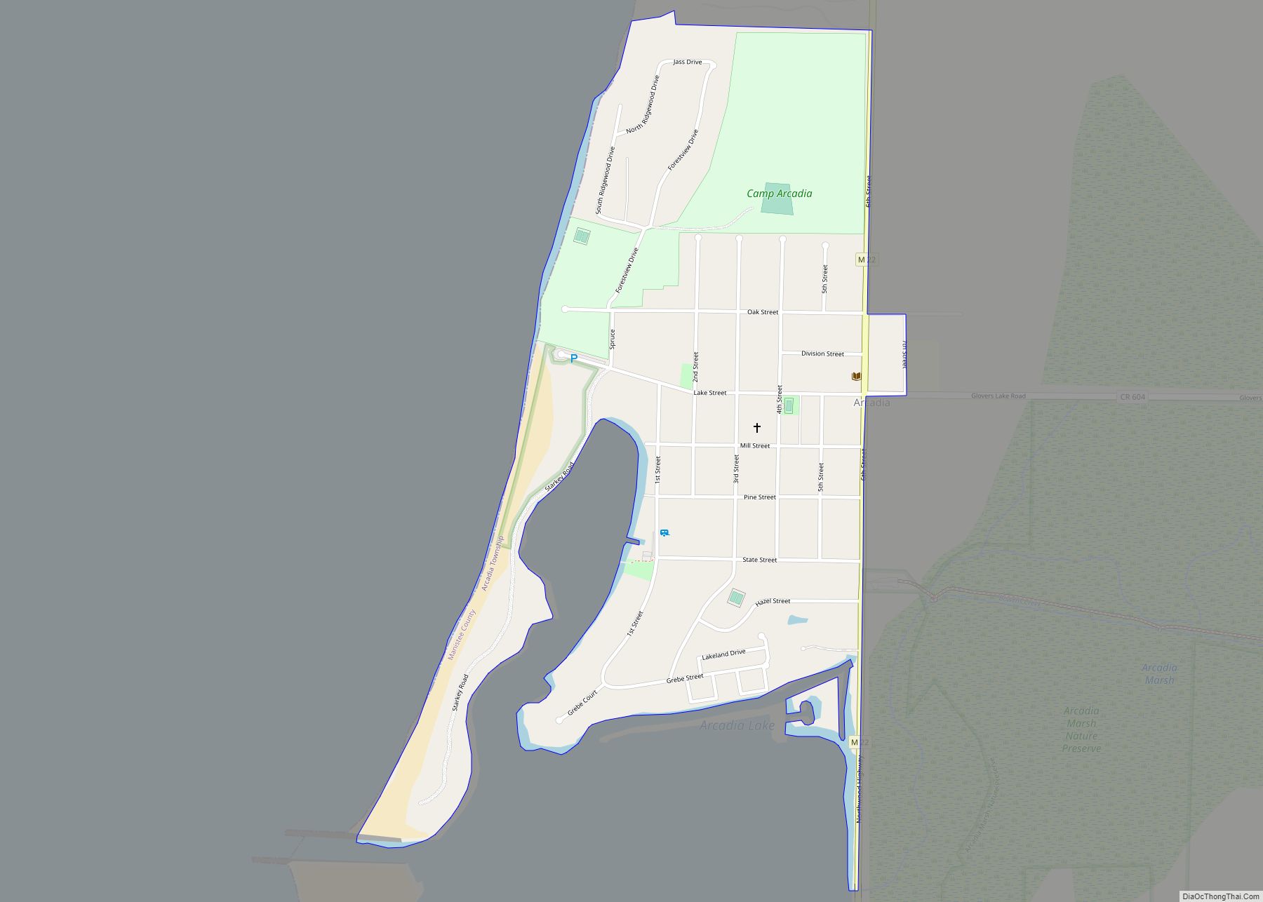
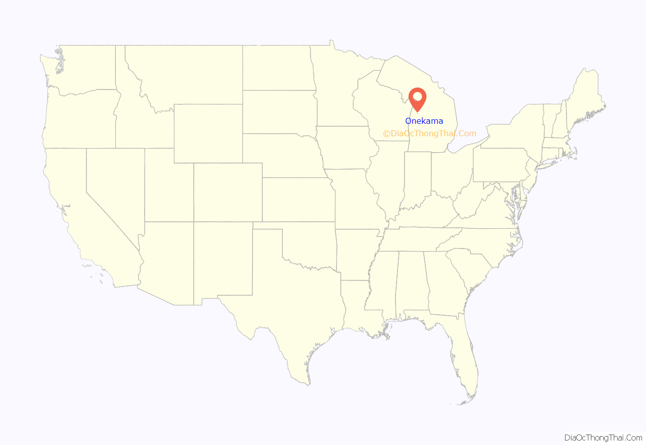
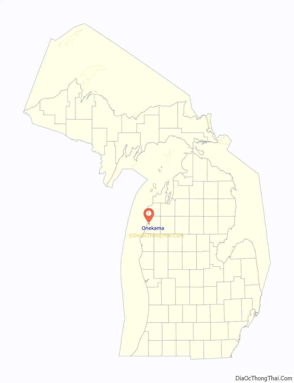
Onekama location map. Where is Onekama village?
History
The predecessor of the village of Onekama was the settlement of Portage at Portage Point, first established in 1845, at the western end of Portage, at the outlet of Portage Creek. In 1871, when landowners around the land-locked lake became exasperated with the practices of the Portage Sawmill, they took the solution into their own hands and dug a channel through the narrow isthmus, opening a waterway that lowered the lake by 12 to 14 feet and brought it to the same level as Lake Michigan. When this action dried out Portage Creek on 14 May 1871, the settlement, which had only the week before been designated as Onekama with a Post Office under that name, moved to the previously submerged land at the northwestern shore of the lake near an earlier settlement called “Brookfield”.
In 1880, the first public buildings were built in the new village. These included the Pierce Grist Mill and The Gibert Brothers’ Saw Mill. In 1882, the first school was built next to the present-day Congregational Church. In 1883, a large summer hotel, The Glen House, was built near the Glen, with its three mineral springs that were believed to have medicinal value.
The village was incorporated in 1891 and included the earlier settlement known as Brookfield, creating a long narrow village about 1.5 miles long with the business section on the flat, former lake bottom and residences on the higher land.
In 1889, a branch of the Manistee and North-Eastern Railroad was extended to the village.
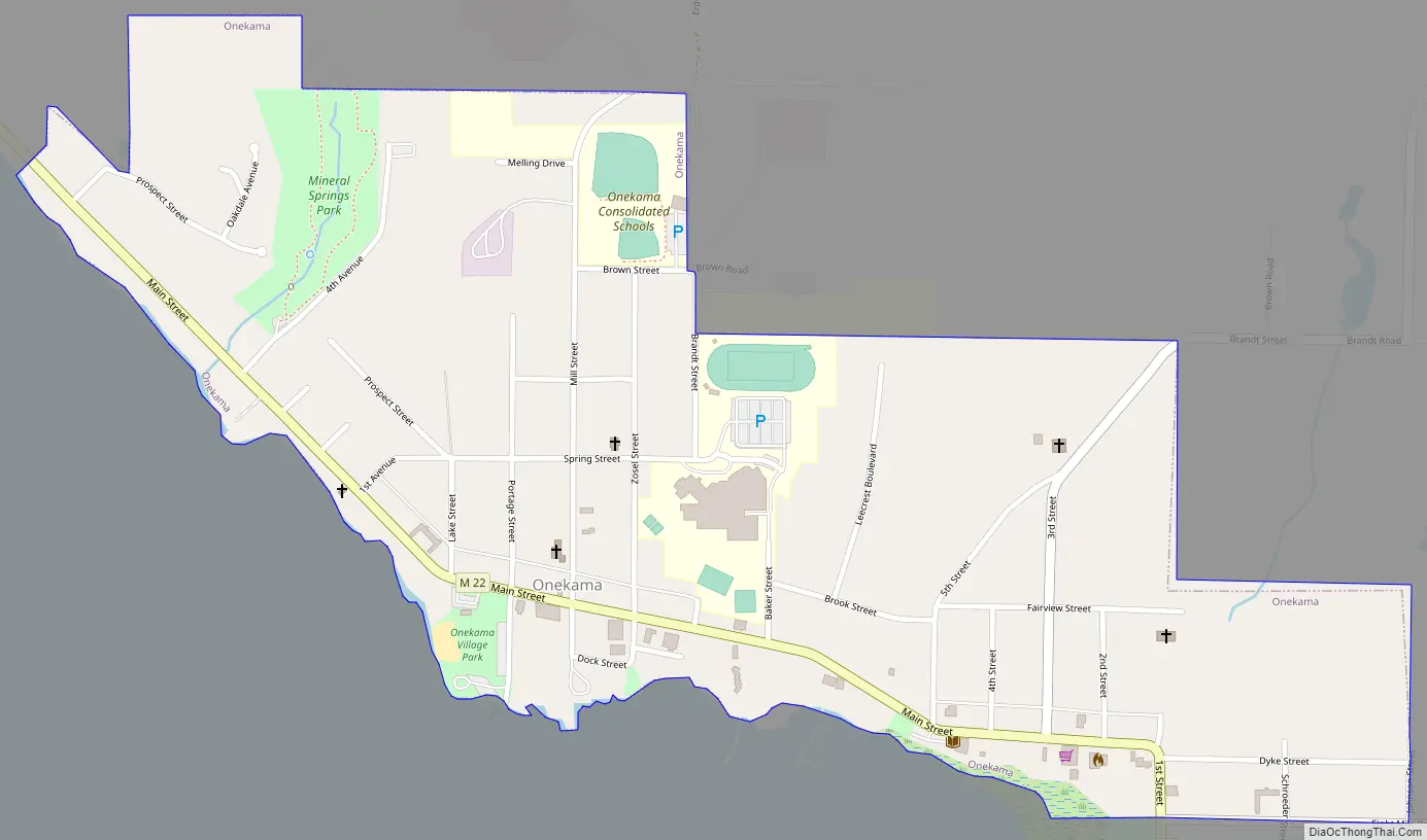
Onekama Road Map
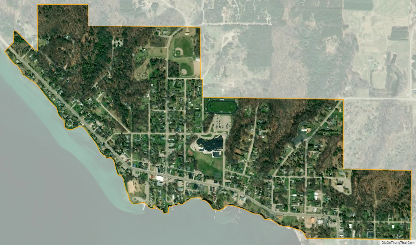
Onekama city Satellite Map
Geography
According to the United States Census Bureau, the village has a total area of 0.58 square miles (1.50 km), all land. The M-22 highway runs through downtown Onekama.
See also
Map of Michigan State and its subdivision:- Alcona
- Alger
- Allegan
- Alpena
- Antrim
- Arenac
- Baraga
- Barry
- Bay
- Benzie
- Berrien
- Branch
- Calhoun
- Cass
- Charlevoix
- Cheboygan
- Chippewa
- Clare
- Clinton
- Crawford
- Delta
- Dickinson
- Eaton
- Emmet
- Genesee
- Gladwin
- Gogebic
- Grand Traverse
- Gratiot
- Hillsdale
- Houghton
- Huron
- Ingham
- Ionia
- Iosco
- Iron
- Isabella
- Jackson
- Kalamazoo
- Kalkaska
- Kent
- Keweenaw
- Lake
- Lake Hurron
- Lake Michigan
- Lake St. Clair
- Lake Superior
- Lapeer
- Leelanau
- Lenawee
- Livingston
- Luce
- Mackinac
- Macomb
- Manistee
- Marquette
- Mason
- Mecosta
- Menominee
- Midland
- Missaukee
- Monroe
- Montcalm
- Montmorency
- Muskegon
- Newaygo
- Oakland
- Oceana
- Ogemaw
- Ontonagon
- Osceola
- Oscoda
- Otsego
- Ottawa
- Presque Isle
- Roscommon
- Saginaw
- Saint Clair
- Saint Joseph
- Sanilac
- Schoolcraft
- Shiawassee
- Tuscola
- Van Buren
- Washtenaw
- Wayne
- Wexford
- Alabama
- Alaska
- Arizona
- Arkansas
- California
- Colorado
- Connecticut
- Delaware
- District of Columbia
- Florida
- Georgia
- Hawaii
- Idaho
- Illinois
- Indiana
- Iowa
- Kansas
- Kentucky
- Louisiana
- Maine
- Maryland
- Massachusetts
- Michigan
- Minnesota
- Mississippi
- Missouri
- Montana
- Nebraska
- Nevada
- New Hampshire
- New Jersey
- New Mexico
- New York
- North Carolina
- North Dakota
- Ohio
- Oklahoma
- Oregon
- Pennsylvania
- Rhode Island
- South Carolina
- South Dakota
- Tennessee
- Texas
- Utah
- Vermont
- Virginia
- Washington
- West Virginia
- Wisconsin
- Wyoming