Ossineke is an unincorporated community and census-designated place in Alpena County in the U.S. state of Michigan. The population was 938 at the 2010 census. The community is located within Sanborn Township, several miles south of Alpena on U.S. Highway 23.
The name is derived from the Anishinaabe word (either the Ojibwa or the Ottawa) zhingaabewasiniigigaabawaad, meaning “Where the image stones stood”, though the modern Anishinaabe name for the place is asiniike, meaning “to quarry”.
| Name: | Ossineke CDP |
|---|---|
| LSAD Code: | 57 |
| LSAD Description: | CDP (suffix) |
| State: | Michigan |
| County: | Alpena County |
| Total Area: | 3.67 sq mi (9.50 km²) |
| Land Area: | 3.66 sq mi (9.47 km²) |
| Water Area: | 0.01 sq mi (0.03 km²) |
| Total Population: | 932 |
| Population Density: | 254.85/sq mi (98.41/km²) |
| Area code: | 989 |
| FIPS code: | 2661500 |
| GNISfeature ID: | 2393175 |
Online Interactive Map
Click on ![]() to view map in "full screen" mode.
to view map in "full screen" mode.
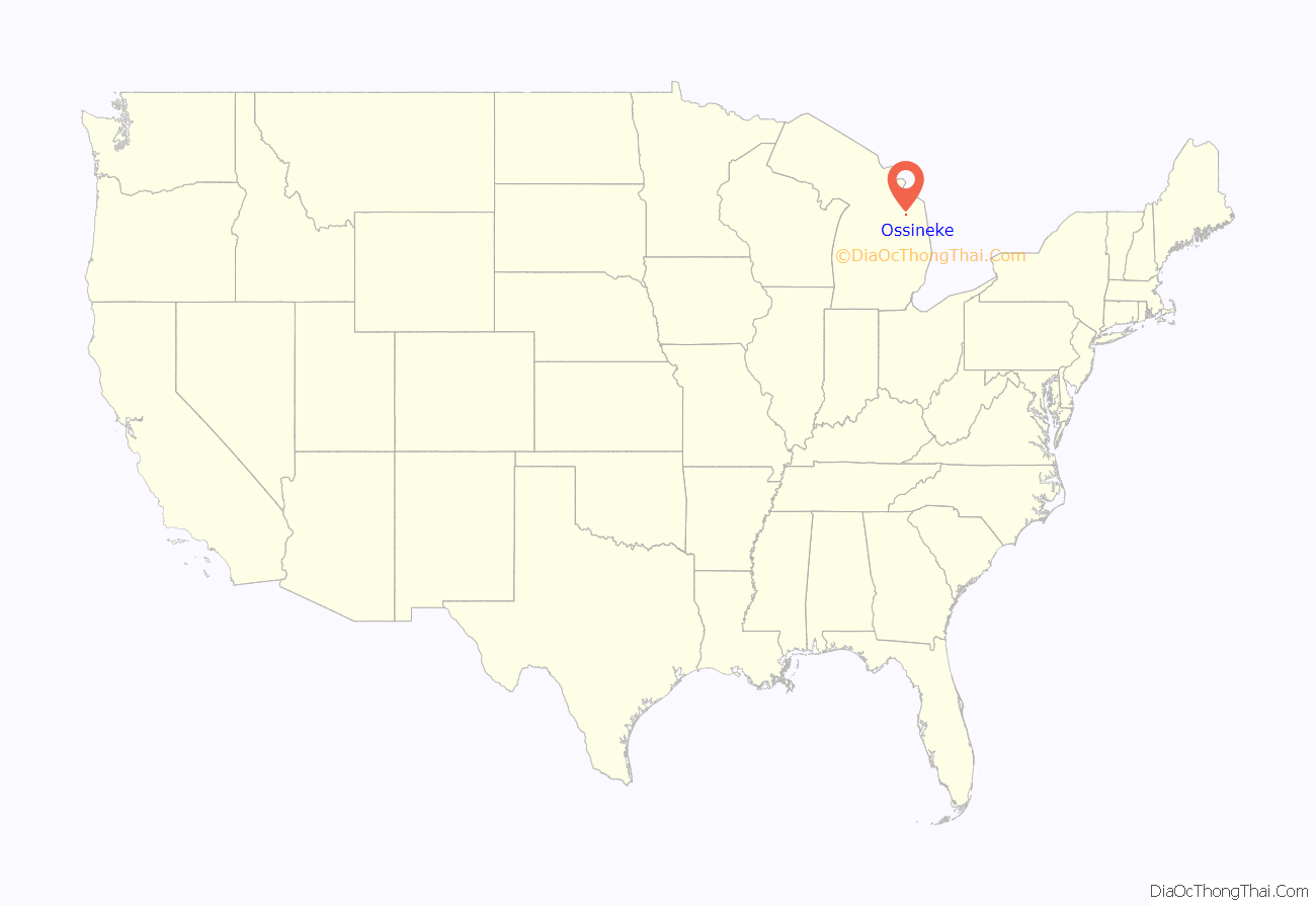
Ossineke location map. Where is Ossineke CDP?
History
The image stones were thought to embody the spirit of Chief Shinggabaw, who promised to return there after death. After they were stolen by a rival tribe, the Great Spirit put them back and destroyed the raiding party. Later, a white fisherman stole them, using them to anchor fishing nets, and they are now somewhere in Lake Huron.
In 1973, the community was the site of the Great Michigan Pizza Funeral.
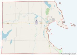
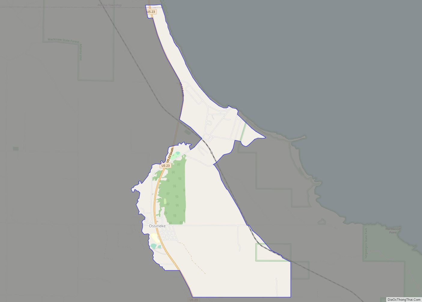
Ossineke Road Map
Ossineke city Satellite Map
Geography
According to the United States Census Bureau, the CDP has a total area of 3.67 square miles (9.51 km), of which 3.66 square miles (9.48 km) is land and 0.01 square miles (0.03 km) (0.27%) is water. Ossineke is part of Northern Michigan.
See also
Map of Michigan State and its subdivision:- Alcona
- Alger
- Allegan
- Alpena
- Antrim
- Arenac
- Baraga
- Barry
- Bay
- Benzie
- Berrien
- Branch
- Calhoun
- Cass
- Charlevoix
- Cheboygan
- Chippewa
- Clare
- Clinton
- Crawford
- Delta
- Dickinson
- Eaton
- Emmet
- Genesee
- Gladwin
- Gogebic
- Grand Traverse
- Gratiot
- Hillsdale
- Houghton
- Huron
- Ingham
- Ionia
- Iosco
- Iron
- Isabella
- Jackson
- Kalamazoo
- Kalkaska
- Kent
- Keweenaw
- Lake
- Lake Hurron
- Lake Michigan
- Lake St. Clair
- Lake Superior
- Lapeer
- Leelanau
- Lenawee
- Livingston
- Luce
- Mackinac
- Macomb
- Manistee
- Marquette
- Mason
- Mecosta
- Menominee
- Midland
- Missaukee
- Monroe
- Montcalm
- Montmorency
- Muskegon
- Newaygo
- Oakland
- Oceana
- Ogemaw
- Ontonagon
- Osceola
- Oscoda
- Otsego
- Ottawa
- Presque Isle
- Roscommon
- Saginaw
- Saint Clair
- Saint Joseph
- Sanilac
- Schoolcraft
- Shiawassee
- Tuscola
- Van Buren
- Washtenaw
- Wayne
- Wexford
- Alabama
- Alaska
- Arizona
- Arkansas
- California
- Colorado
- Connecticut
- Delaware
- District of Columbia
- Florida
- Georgia
- Hawaii
- Idaho
- Illinois
- Indiana
- Iowa
- Kansas
- Kentucky
- Louisiana
- Maine
- Maryland
- Massachusetts
- Michigan
- Minnesota
- Mississippi
- Missouri
- Montana
- Nebraska
- Nevada
- New Hampshire
- New Jersey
- New Mexico
- New York
- North Carolina
- North Dakota
- Ohio
- Oklahoma
- Oregon
- Pennsylvania
- Rhode Island
- South Carolina
- South Dakota
- Tennessee
- Texas
- Utah
- Vermont
- Virginia
- Washington
- West Virginia
- Wisconsin
- Wyoming
