Paw Paw Lake is an unincorporated community in Berrien County in the U.S. state of Michigan. It is a census-designated place (CDP) for statistical purposes, without legal status as a municipality. The community is located within areas of both Coloma Charter Township and Watervliet Township in the area surrounding Paw Paw Lake and Little Paw Paw Lake, excluding the cities of Watervliet and Coloma. The population of the CDP was 3,511 at the 2010 census.
| Name: | Paw Paw Lake CDP |
|---|---|
| LSAD Code: | 57 |
| LSAD Description: | CDP (suffix) |
| State: | Michigan |
| County: | Berrien County |
| Elevation: | 653 ft (199 m) |
| Total Area: | 6.79 sq mi (17.59 km²) |
| Land Area: | 5.13 sq mi (13.29 km²) |
| Water Area: | 1.66 sq mi (4.29 km²) |
| Total Population: | 3,323 |
| Population Density: | 647.51/sq mi (250.00/km²) |
| Area code: | 269 |
| FIPS code: | 2663020 |
| GNISfeature ID: | 634490 |
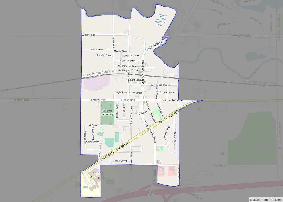
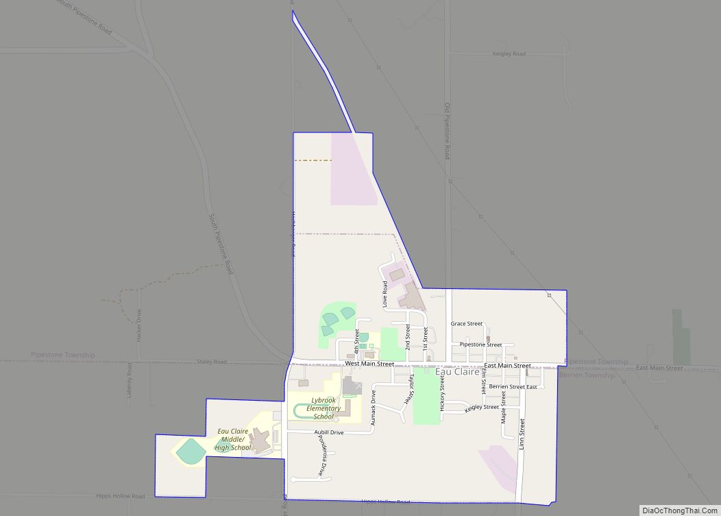
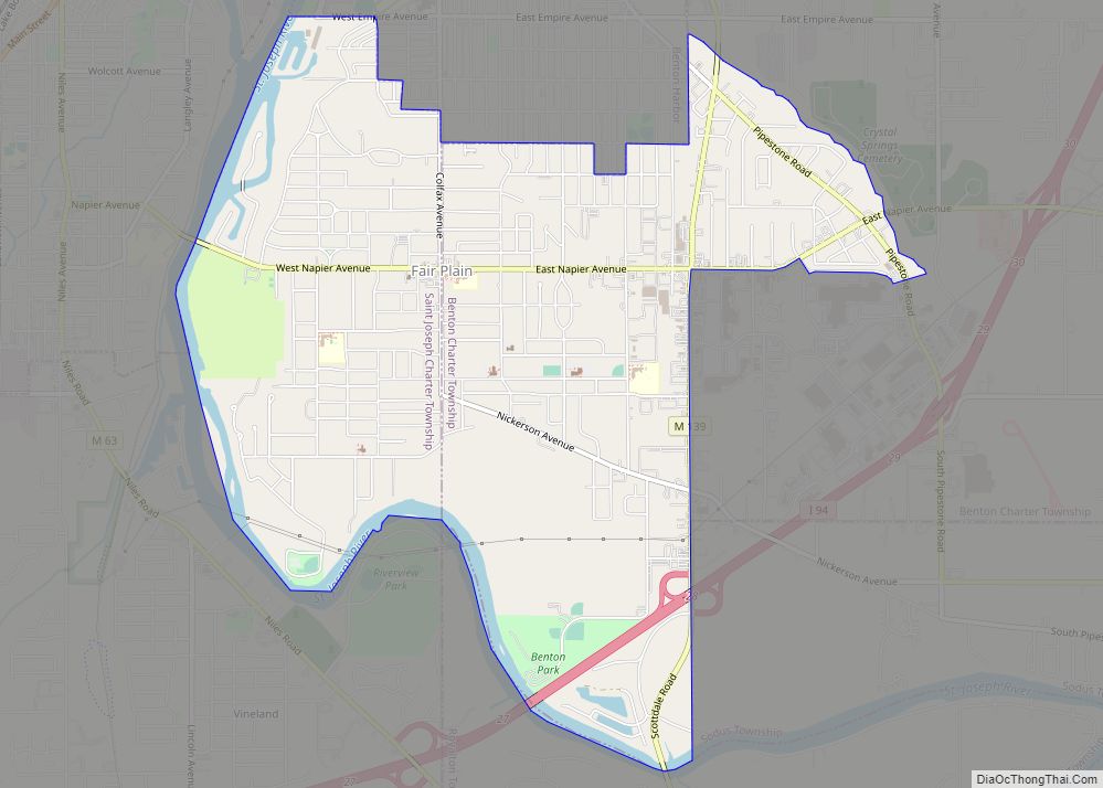
Online Interactive Map
Click on ![]() to view map in "full screen" mode.
to view map in "full screen" mode.
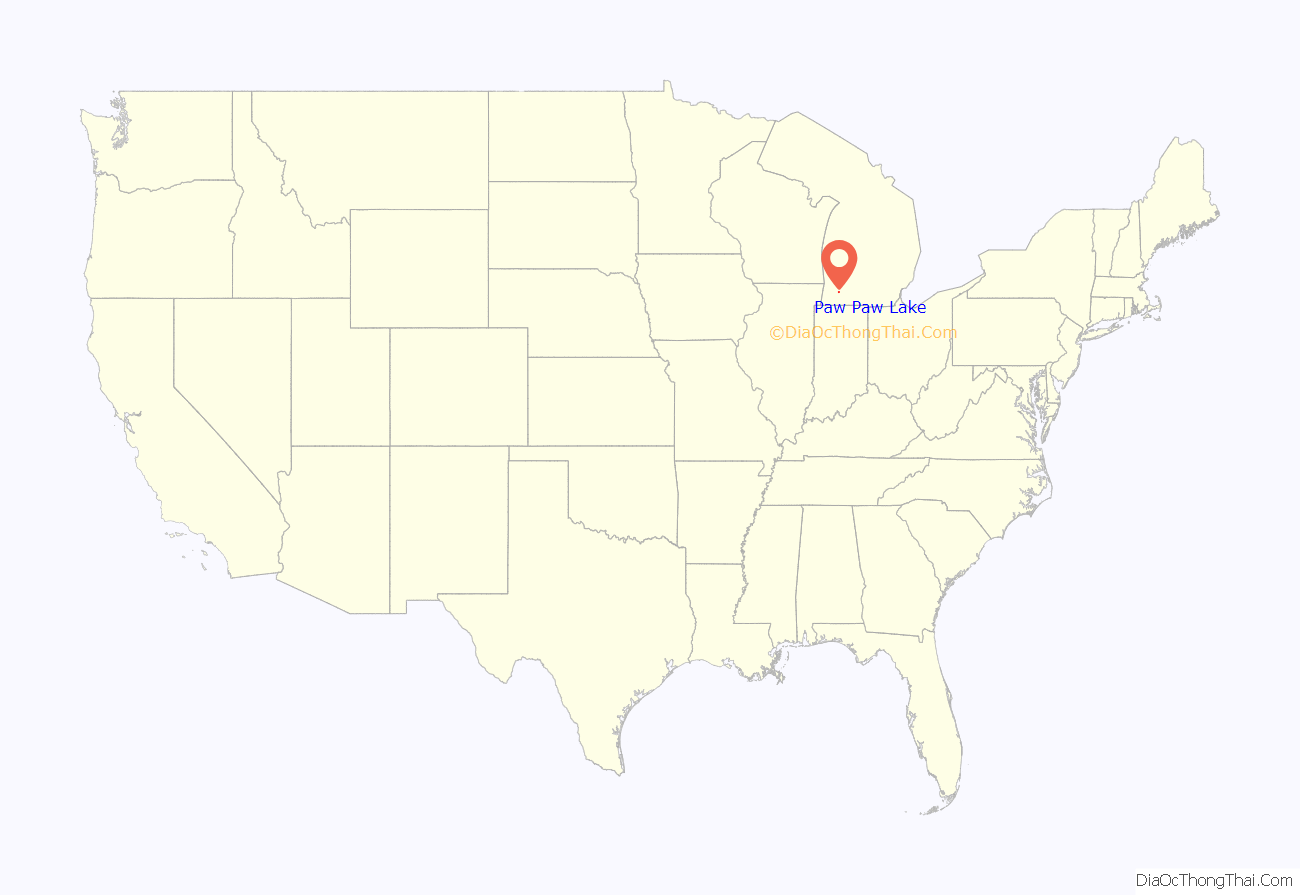
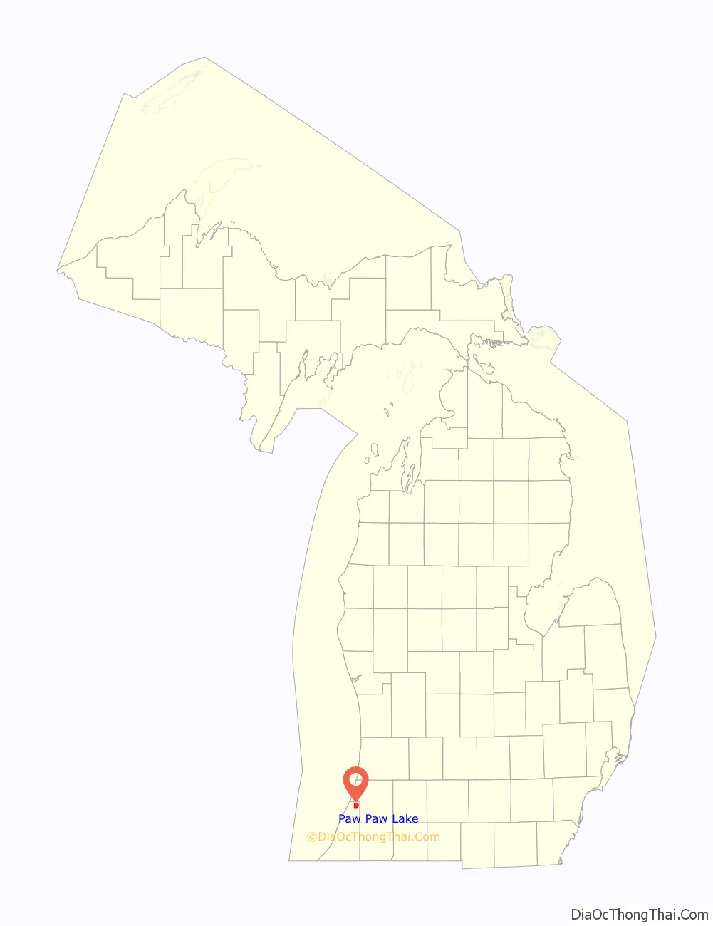
Paw Paw Lake location map. Where is Paw Paw Lake CDP?
History
The area which became the CDP was the site of a tourist area in the early 20th century. An 1894 Chicago newspaper article was the catalyst in making the shore a resort area, and a rail line extension from nearby Coloma in 1896 started the building boom. Pavilions, hotels, and cottages soon followed, with nationally known acts performing at the pavilions. Most of these buildings are no longer extant.
Deer Forest
The nearby Deer Forest animal park in Coloma Township opened at the end of the heyday of the resort area. Though many of its assets were auctioned off on September 26, 2009, the park continued to operate through the 2014 season. It closed permanently at the end of that season and animals were dispersed to various other locations. The property itself was auctioned off on June 29, 2015. It was auctioned again in 2021 and sold in March 2022.
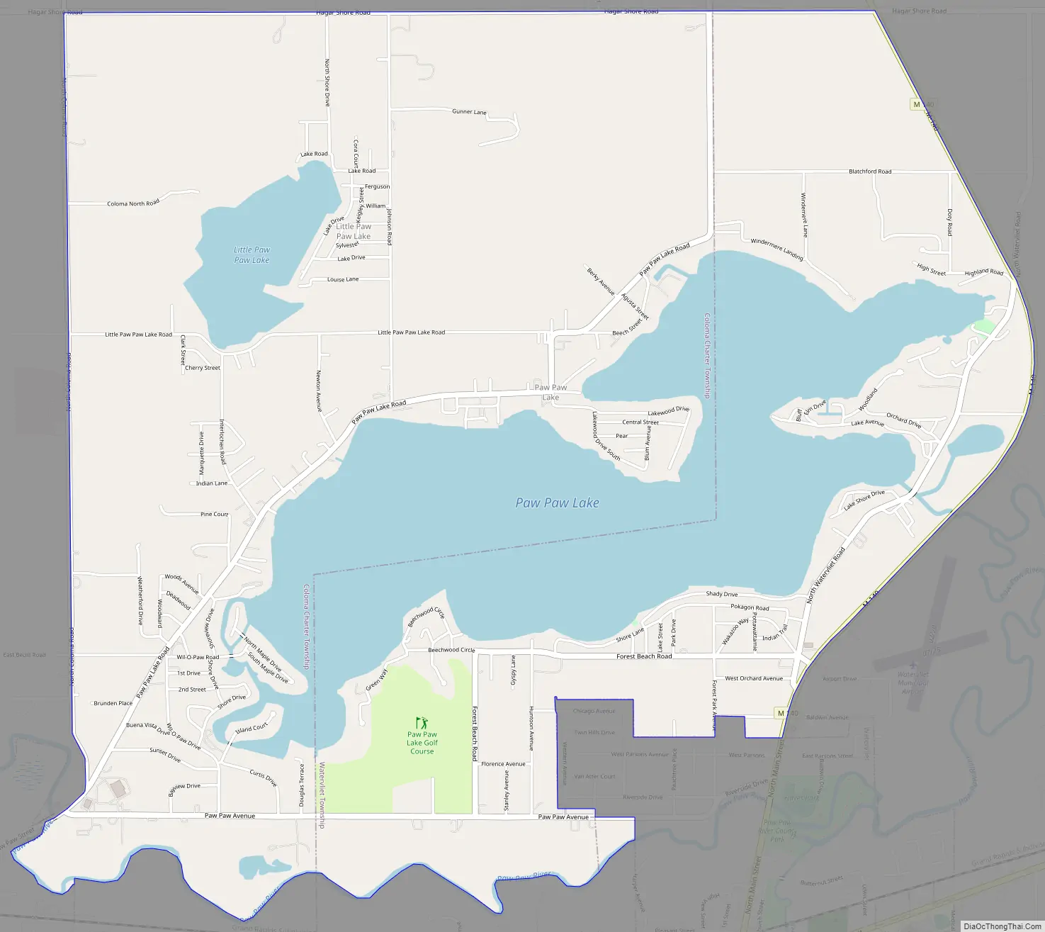
Paw Paw Lake Road Map
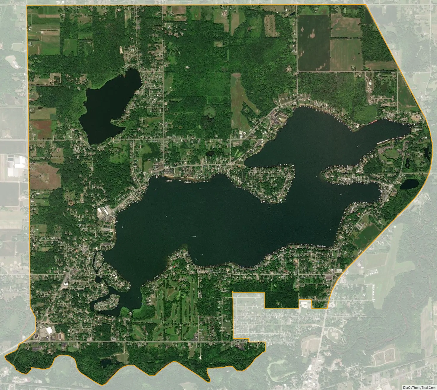
Paw Paw Lake city Satellite Map
Geography
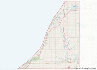
According to the United States Census Bureau, the CDP has a total area of 6.8 square miles (17.5 km), of which 5.1 square miles (13.3 km) is land and 1.7 square miles (4.3 km), or 24.47%, is water, consisting primarily of Paw Paw Lake and Little Paw Paw Lake. The Paw Paw River, outlet of the lakes, forms most of the southern boundary of the CDP. North Coloma Road forms the western edge of the CDP, Hagar Shore Road the north edge, and highway M-140 the eastern edge. The cities of Watervliet and Coloma touch the CDP at its southeast and southwest corners, respectively.
See also
Map of Michigan State and its subdivision:- Alcona
- Alger
- Allegan
- Alpena
- Antrim
- Arenac
- Baraga
- Barry
- Bay
- Benzie
- Berrien
- Branch
- Calhoun
- Cass
- Charlevoix
- Cheboygan
- Chippewa
- Clare
- Clinton
- Crawford
- Delta
- Dickinson
- Eaton
- Emmet
- Genesee
- Gladwin
- Gogebic
- Grand Traverse
- Gratiot
- Hillsdale
- Houghton
- Huron
- Ingham
- Ionia
- Iosco
- Iron
- Isabella
- Jackson
- Kalamazoo
- Kalkaska
- Kent
- Keweenaw
- Lake
- Lake Hurron
- Lake Michigan
- Lake St. Clair
- Lake Superior
- Lapeer
- Leelanau
- Lenawee
- Livingston
- Luce
- Mackinac
- Macomb
- Manistee
- Marquette
- Mason
- Mecosta
- Menominee
- Midland
- Missaukee
- Monroe
- Montcalm
- Montmorency
- Muskegon
- Newaygo
- Oakland
- Oceana
- Ogemaw
- Ontonagon
- Osceola
- Oscoda
- Otsego
- Ottawa
- Presque Isle
- Roscommon
- Saginaw
- Saint Clair
- Saint Joseph
- Sanilac
- Schoolcraft
- Shiawassee
- Tuscola
- Van Buren
- Washtenaw
- Wayne
- Wexford
- Alabama
- Alaska
- Arizona
- Arkansas
- California
- Colorado
- Connecticut
- Delaware
- District of Columbia
- Florida
- Georgia
- Hawaii
- Idaho
- Illinois
- Indiana
- Iowa
- Kansas
- Kentucky
- Louisiana
- Maine
- Maryland
- Massachusetts
- Michigan
- Minnesota
- Mississippi
- Missouri
- Montana
- Nebraska
- Nevada
- New Hampshire
- New Jersey
- New Mexico
- New York
- North Carolina
- North Dakota
- Ohio
- Oklahoma
- Oregon
- Pennsylvania
- Rhode Island
- South Carolina
- South Dakota
- Tennessee
- Texas
- Utah
- Vermont
- Virginia
- Washington
- West Virginia
- Wisconsin
- Wyoming