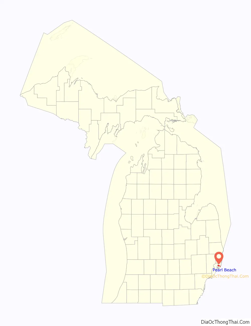
Pearl Beach is an unincorporated community in St. Clair County in the U.S. state of Michigan. Located in Clay Township, it is a census-designated place (CDP) used for statistical purposes. The population was 3,224 at the 2000 census.
| Name: | Pearl Beach CDP |
|---|---|
| LSAD Code: | 57 |
| LSAD Description: | CDP (suffix) |
| State: | Michigan |
| County: | St. Clair County |
| Elevation: | 577 ft (176 m) |
| Total Area: | 5.65 sq mi (14.63 km²) |
| Land Area: | 4.80 sq mi (12.44 km²) |
| Water Area: | 0.84 sq mi (2.18 km²) |
| Total Population: | 4,698 |
| Population Density: | 977.73/sq mi (377.51/km²) |
| Area code: | 810 |
| FIPS code: | 2663200 |
| GNISfeature ID: | 1624814 |
Online Interactive Map
Click on ![]() to view map in "full screen" mode.
to view map in "full screen" mode.
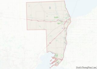
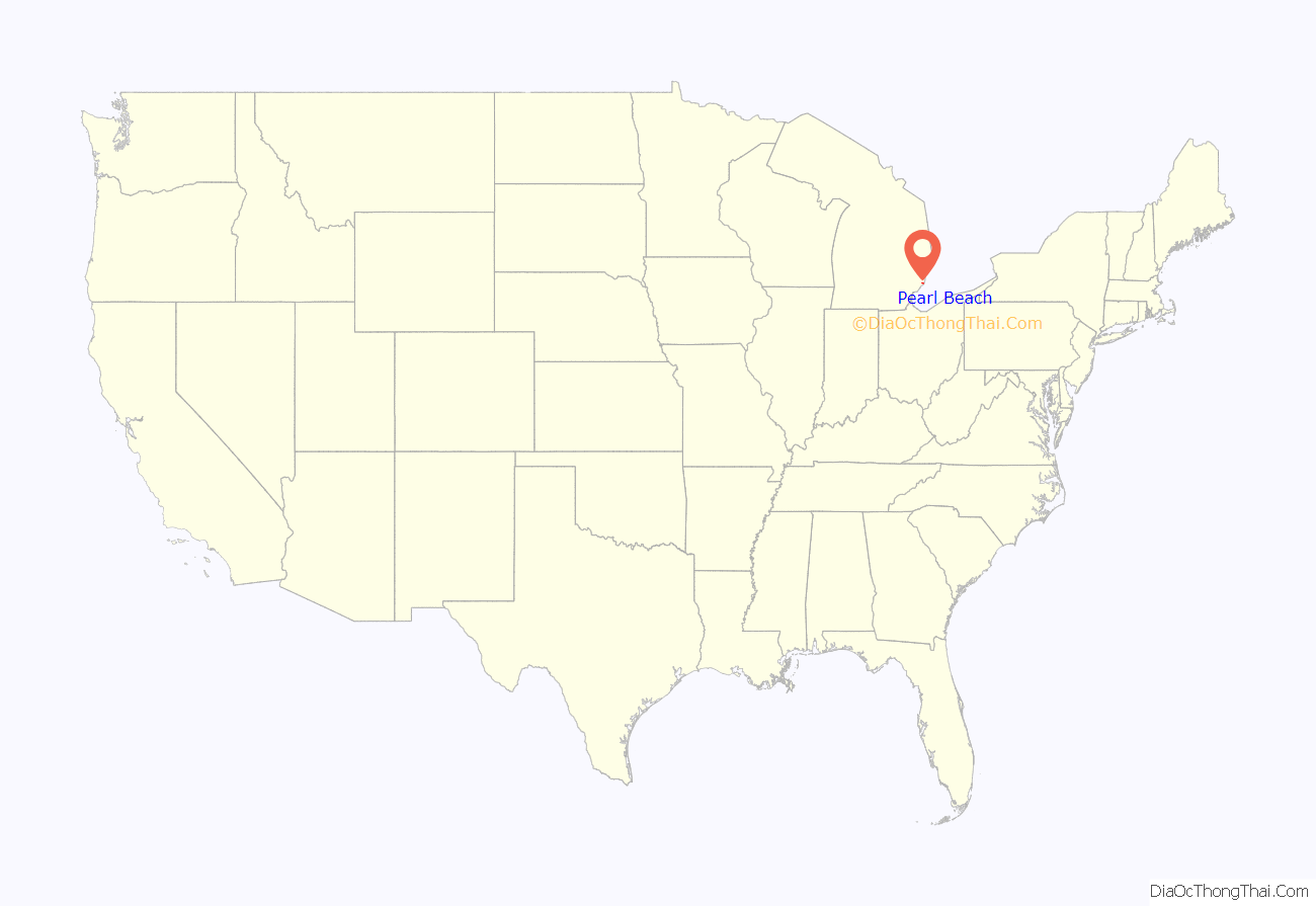
Pearl Beach location map. Where is Pearl Beach CDP?
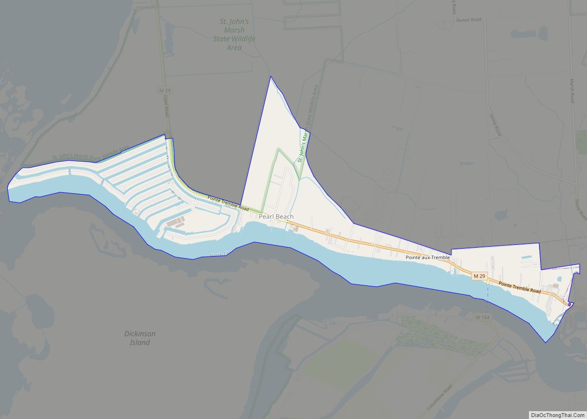
Pearl Beach Road Map
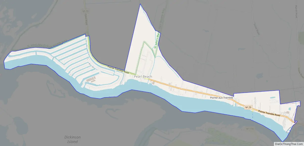
Pearl Beach city Satellite Map

Geography
According to the United States Census Bureau, the community has a total area of 3.1 square miles (8.0 km), of which 2.1 square miles (5.4 km) is land and 0.9 square miles (2.3 km) (30.84%) is water. The CDP consists of a narrow strip along the north side of the North Channel of the St. Clair River from the western border of Algonac to the easternmost point of land where the North Channel flows into Anchor Bay. M-29 runs through the area, following the contour of the North Channel.
See also
Map of Michigan State and its subdivision:- Alcona
- Alger
- Allegan
- Alpena
- Antrim
- Arenac
- Baraga
- Barry
- Bay
- Benzie
- Berrien
- Branch
- Calhoun
- Cass
- Charlevoix
- Cheboygan
- Chippewa
- Clare
- Clinton
- Crawford
- Delta
- Dickinson
- Eaton
- Emmet
- Genesee
- Gladwin
- Gogebic
- Grand Traverse
- Gratiot
- Hillsdale
- Houghton
- Huron
- Ingham
- Ionia
- Iosco
- Iron
- Isabella
- Jackson
- Kalamazoo
- Kalkaska
- Kent
- Keweenaw
- Lake
- Lake Hurron
- Lake Michigan
- Lake St. Clair
- Lake Superior
- Lapeer
- Leelanau
- Lenawee
- Livingston
- Luce
- Mackinac
- Macomb
- Manistee
- Marquette
- Mason
- Mecosta
- Menominee
- Midland
- Missaukee
- Monroe
- Montcalm
- Montmorency
- Muskegon
- Newaygo
- Oakland
- Oceana
- Ogemaw
- Ontonagon
- Osceola
- Oscoda
- Otsego
- Ottawa
- Presque Isle
- Roscommon
- Saginaw
- Saint Clair
- Saint Joseph
- Sanilac
- Schoolcraft
- Shiawassee
- Tuscola
- Van Buren
- Washtenaw
- Wayne
- Wexford
- Alabama
- Alaska
- Arizona
- Arkansas
- California
- Colorado
- Connecticut
- Delaware
- District of Columbia
- Florida
- Georgia
- Hawaii
- Idaho
- Illinois
- Indiana
- Iowa
- Kansas
- Kentucky
- Louisiana
- Maine
- Maryland
- Massachusetts
- Michigan
- Minnesota
- Mississippi
- Missouri
- Montana
- Nebraska
- Nevada
- New Hampshire
- New Jersey
- New Mexico
- New York
- North Carolina
- North Dakota
- Ohio
- Oklahoma
- Oregon
- Pennsylvania
- Rhode Island
- South Carolina
- South Dakota
- Tennessee
- Texas
- Utah
- Vermont
- Virginia
- Washington
- West Virginia
- Wisconsin
- Wyoming