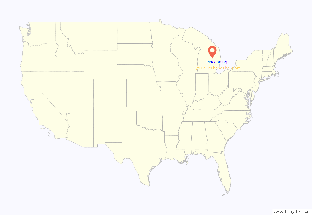
Pinconning is a city in Bay County in the U.S. state of Michigan. The population was 1,307 at the 2010 Census. It is included in the Saginaw, Midland, and Bay City metropolitan area. The city is locally noted for its former production of cheese and cheese products, especially Pinconning cheese.
| Name: | Pinconning city |
|---|---|
| LSAD Code: | 25 |
| LSAD Description: | city (suffix) |
| State: | Michigan |
| County: | Bay County |
| Incorporated: | 1872 (village) 1935 (city) |
| Elevation: | 600 ft (183 m) |
| Total Area: | 0.86 sq mi (2.23 km²) |
| Land Area: | 0.86 sq mi (2.23 km²) |
| Water Area: | 0.00 sq mi (0.00 km²) |
| Total Population: | 1,204 |
| Population Density: | 1,398.37/sq mi (540.17/km²) |
| Area code: | 989 |
| FIPS code: | 2664160 |
| GNISfeature ID: | 0634899 |
Online Interactive Map
Click on ![]() to view map in "full screen" mode.
to view map in "full screen" mode.
Pinconning location map. Where is Pinconning city?
History
The name, “Pinconning,” comes from the Ojibwe Opinikaaning (syncope as Pinkaaning; recorded as “o-pin-nic-con-ing”), which translates into English as, “potato place.”. The community is named after the Pinconning River, which flows through the community.
The town was first settled in 1872 by George VanEtten and Henry Kaiser as a lumber settlement along the Pinconning River. The post office in Pinconning opened on January 29, 1873. In 1907 a man named William Reid moved to Pinconning, and started Pinconning Creamery. A gravel road between Pinconning and neighboring Standish was built in 1918, the same year the prohibition had taken effect.
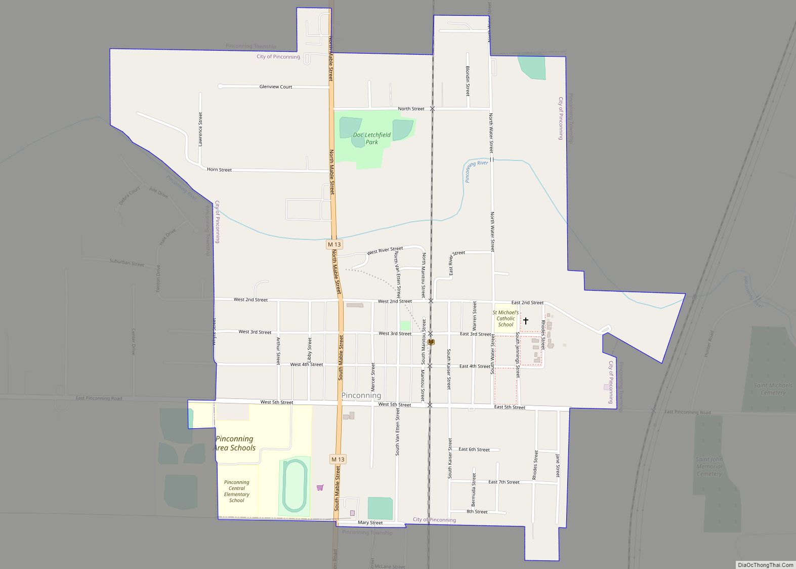
Pinconning Road Map
Pinconning city Satellite Map
Geography
According to the United States Census Bureau, the city has a total area of 0.85 square miles (2.20 km), all land. The Pinconning River flows through the city. The city is located roughly 1.5 miles west of Saginaw Bay.
See also
Map of Michigan State and its subdivision:- Alcona
- Alger
- Allegan
- Alpena
- Antrim
- Arenac
- Baraga
- Barry
- Bay
- Benzie
- Berrien
- Branch
- Calhoun
- Cass
- Charlevoix
- Cheboygan
- Chippewa
- Clare
- Clinton
- Crawford
- Delta
- Dickinson
- Eaton
- Emmet
- Genesee
- Gladwin
- Gogebic
- Grand Traverse
- Gratiot
- Hillsdale
- Houghton
- Huron
- Ingham
- Ionia
- Iosco
- Iron
- Isabella
- Jackson
- Kalamazoo
- Kalkaska
- Kent
- Keweenaw
- Lake
- Lake Hurron
- Lake Michigan
- Lake St. Clair
- Lake Superior
- Lapeer
- Leelanau
- Lenawee
- Livingston
- Luce
- Mackinac
- Macomb
- Manistee
- Marquette
- Mason
- Mecosta
- Menominee
- Midland
- Missaukee
- Monroe
- Montcalm
- Montmorency
- Muskegon
- Newaygo
- Oakland
- Oceana
- Ogemaw
- Ontonagon
- Osceola
- Oscoda
- Otsego
- Ottawa
- Presque Isle
- Roscommon
- Saginaw
- Saint Clair
- Saint Joseph
- Sanilac
- Schoolcraft
- Shiawassee
- Tuscola
- Van Buren
- Washtenaw
- Wayne
- Wexford
- Alabama
- Alaska
- Arizona
- Arkansas
- California
- Colorado
- Connecticut
- Delaware
- District of Columbia
- Florida
- Georgia
- Hawaii
- Idaho
- Illinois
- Indiana
- Iowa
- Kansas
- Kentucky
- Louisiana
- Maine
- Maryland
- Massachusetts
- Michigan
- Minnesota
- Mississippi
- Missouri
- Montana
- Nebraska
- Nevada
- New Hampshire
- New Jersey
- New Mexico
- New York
- North Carolina
- North Dakota
- Ohio
- Oklahoma
- Oregon
- Pennsylvania
- Rhode Island
- South Carolina
- South Dakota
- Tennessee
- Texas
- Utah
- Vermont
- Virginia
- Washington
- West Virginia
- Wisconsin
- Wyoming
