Port Sanilac is a village in Sanilac Township, Sanilac County in the U.S. state of Michigan. The population was 567 at the 2020 census.
| Name: | Port Sanilac village |
|---|---|
| LSAD Code: | 47 |
| LSAD Description: | village (suffix) |
| State: | Michigan |
| County: | Sanilac County |
| Elevation: | 610 ft (186 m) |
| Total Area: | 0.85 sq mi (2.20 km²) |
| Land Area: | 0.85 sq mi (2.20 km²) |
| Water Area: | 0.00 sq mi (0.00 km²) |
| Total Population: | 567 |
| Population Density: | 666.27/sq mi (257.33/km²) |
| ZIP code: | 48469 |
| Area code: | 810 |
| FIPS code: | 2665900 |
| GNISfeature ID: | 0635267 |
| Website: | www.portsanilac.net |
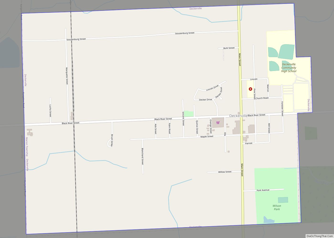
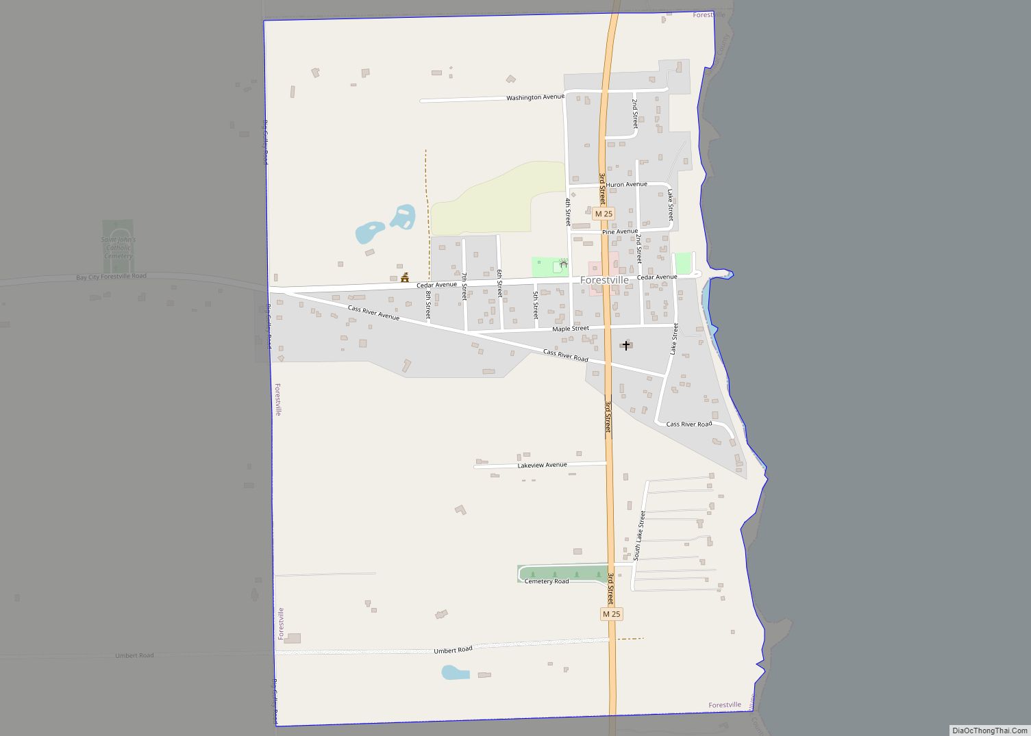
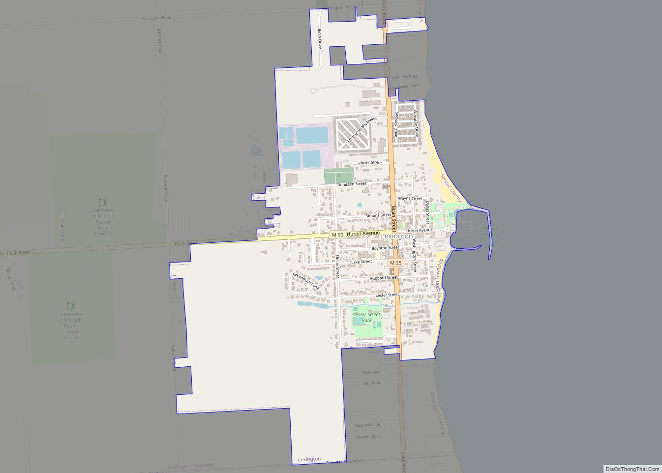
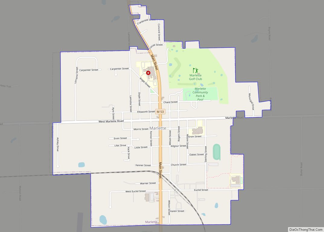
Online Interactive Map
Click on ![]() to view map in "full screen" mode.
to view map in "full screen" mode.
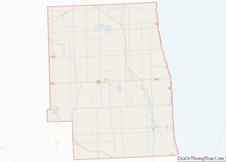
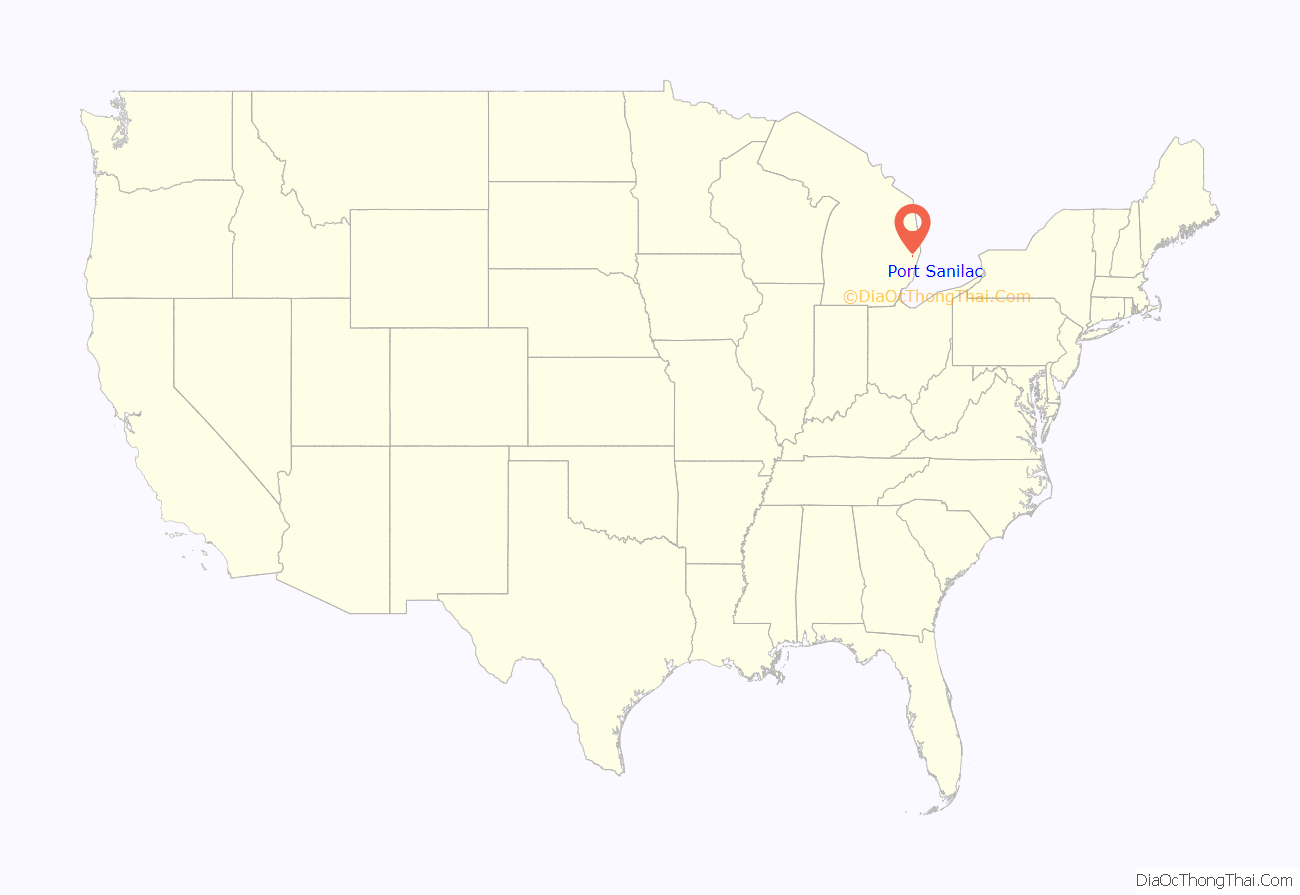
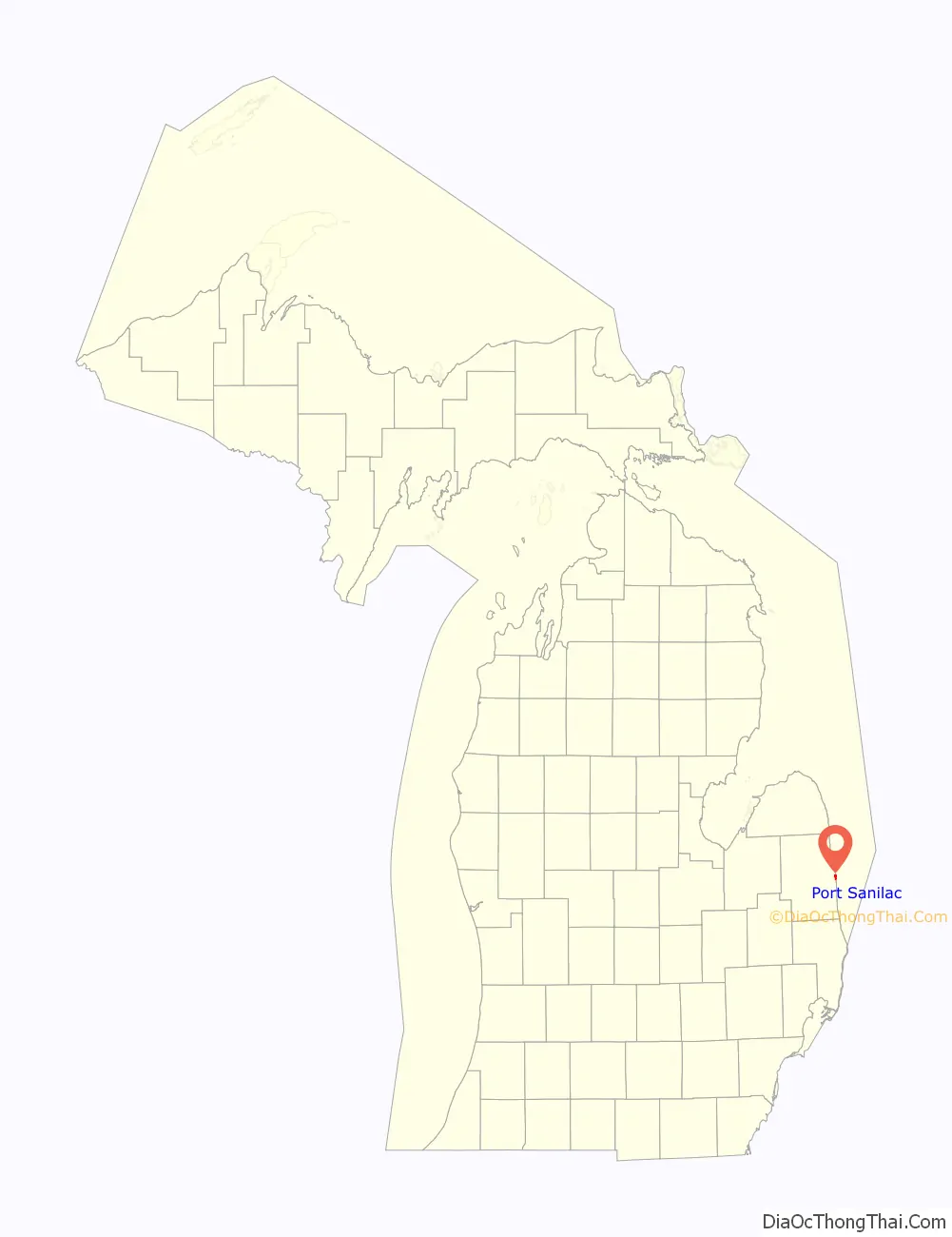
Port Sanilac location map. Where is Port Sanilac village?
History
This village was originally a lumberjack settlement on the shore of Lake Huron named “Bark Shanty.” In the late 1840s and 1850s, the settlement gained its first sawmill, schoolhouse, and general store. In 1854, Bark Shanty’s first post office opened. In 1857 the village was renamed to Port Sanilac, as it is in Sanilac Township in Sanilac County. Local legend attributes the name to a Wyandotte Indian Chief named Sanilac. See List of Michigan county name etymologies.
Local landmarks include the Port Sanilac lighthouse (burning kerosene from its opening in 1886 until its electrification in 1924) and a twenty-room Victorian mansion (now the Sanilac County Museum) built in 1872 by a horse-and-buggy doctor, Dr. Joseph Loop.
The Sanilac Shores Underwater Preserve is a designated ship wreck preserve that is very popular with scuba divers.
Port Sanilac Road Map
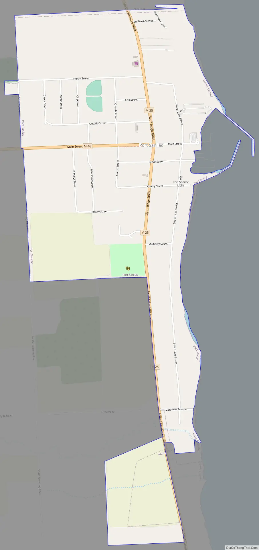
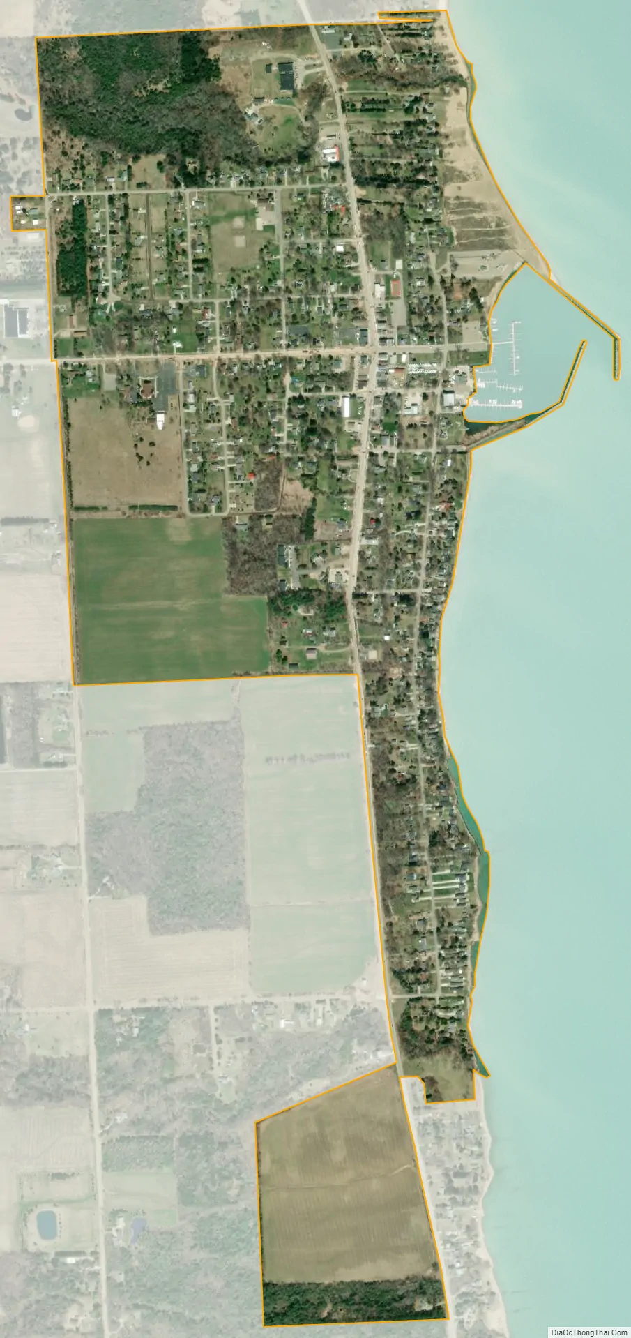
Port Sanilac city Satellite Map
Geography
According to the United States Census Bureau, the village has a total area of 0.80 square miles (2.07 km), all land. It is located at 43°25′56″N 82°32′33″W / 43.43222°N 82.54250°W / 43.43222; -82.54250. It is considered to be part of the Thumb of Michigan, which in turn is a subregion of the Flint/Tri-Cities.
See also
Map of Michigan State and its subdivision:- Alcona
- Alger
- Allegan
- Alpena
- Antrim
- Arenac
- Baraga
- Barry
- Bay
- Benzie
- Berrien
- Branch
- Calhoun
- Cass
- Charlevoix
- Cheboygan
- Chippewa
- Clare
- Clinton
- Crawford
- Delta
- Dickinson
- Eaton
- Emmet
- Genesee
- Gladwin
- Gogebic
- Grand Traverse
- Gratiot
- Hillsdale
- Houghton
- Huron
- Ingham
- Ionia
- Iosco
- Iron
- Isabella
- Jackson
- Kalamazoo
- Kalkaska
- Kent
- Keweenaw
- Lake
- Lake Hurron
- Lake Michigan
- Lake St. Clair
- Lake Superior
- Lapeer
- Leelanau
- Lenawee
- Livingston
- Luce
- Mackinac
- Macomb
- Manistee
- Marquette
- Mason
- Mecosta
- Menominee
- Midland
- Missaukee
- Monroe
- Montcalm
- Montmorency
- Muskegon
- Newaygo
- Oakland
- Oceana
- Ogemaw
- Ontonagon
- Osceola
- Oscoda
- Otsego
- Ottawa
- Presque Isle
- Roscommon
- Saginaw
- Saint Clair
- Saint Joseph
- Sanilac
- Schoolcraft
- Shiawassee
- Tuscola
- Van Buren
- Washtenaw
- Wayne
- Wexford
- Alabama
- Alaska
- Arizona
- Arkansas
- California
- Colorado
- Connecticut
- Delaware
- District of Columbia
- Florida
- Georgia
- Hawaii
- Idaho
- Illinois
- Indiana
- Iowa
- Kansas
- Kentucky
- Louisiana
- Maine
- Maryland
- Massachusetts
- Michigan
- Minnesota
- Mississippi
- Missouri
- Montana
- Nebraska
- Nevada
- New Hampshire
- New Jersey
- New Mexico
- New York
- North Carolina
- North Dakota
- Ohio
- Oklahoma
- Oregon
- Pennsylvania
- Rhode Island
- South Carolina
- South Dakota
- Tennessee
- Texas
- Utah
- Vermont
- Virginia
- Washington
- West Virginia
- Wisconsin
- Wyoming