Reading (/ˈrɛdɪŋ/ RED-ing) is a city in Hillsdale County in the U.S. state of Michigan. The population was 1,095 at the 2020 census.
Located along M-49, the city is surrounded by Reading Township, but the two are administered autonomously.
| Name: | Reading city |
|---|---|
| LSAD Code: | 25 |
| LSAD Description: | city (suffix) |
| State: | Michigan |
| County: | Hillsdale County |
| Incorporated: | 1873 (village) 1934 (city) |
| Elevation: | 1,191 ft (363 m) |
| Total Area: | 1.01 sq mi (2.62 km²) |
| Land Area: | 1.01 sq mi (2.62 km²) |
| Water Area: | 0.00 sq mi (0.00 km²) |
| Total Population: | 1,094 |
| Population Density: | 1,081.03/sq mi (417.31/km²) |
| Area code: | 517 |
| FIPS code: | 2667500 |
| GNISfeature ID: | 0635690 |
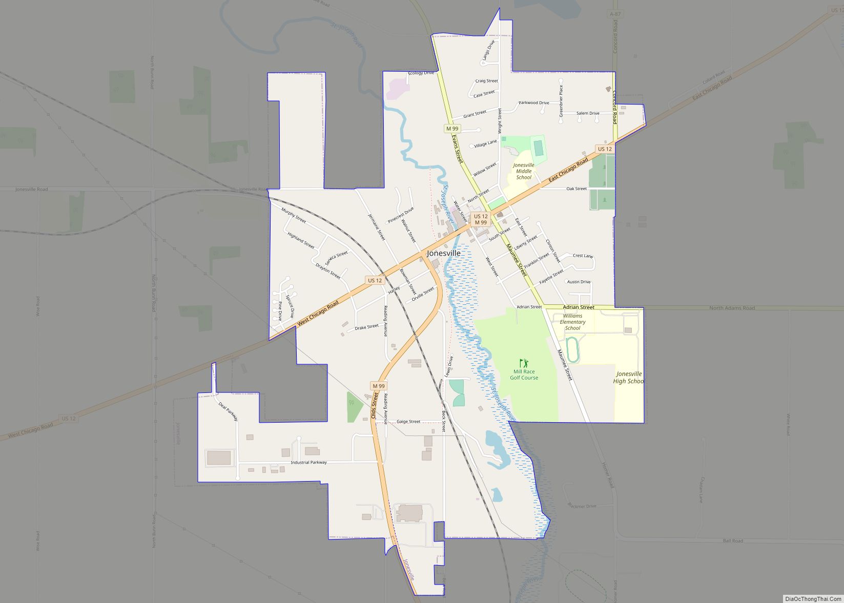
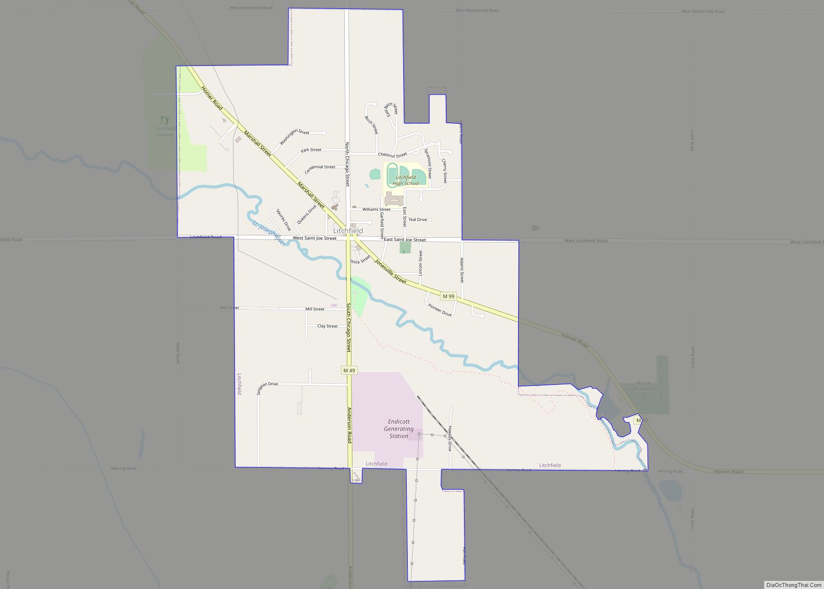
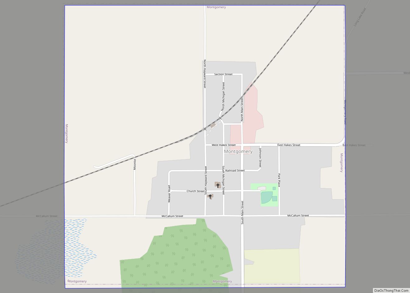
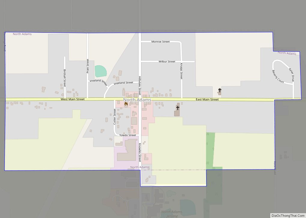
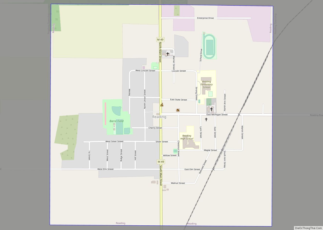
Online Interactive Map
Click on ![]() to view map in "full screen" mode.
to view map in "full screen" mode.
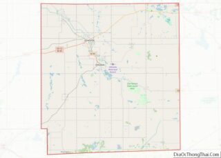
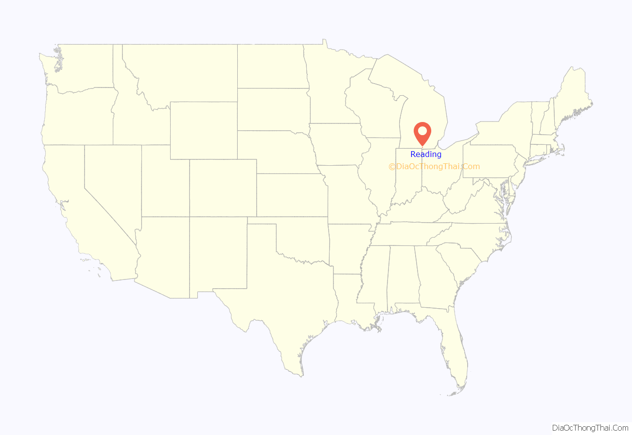
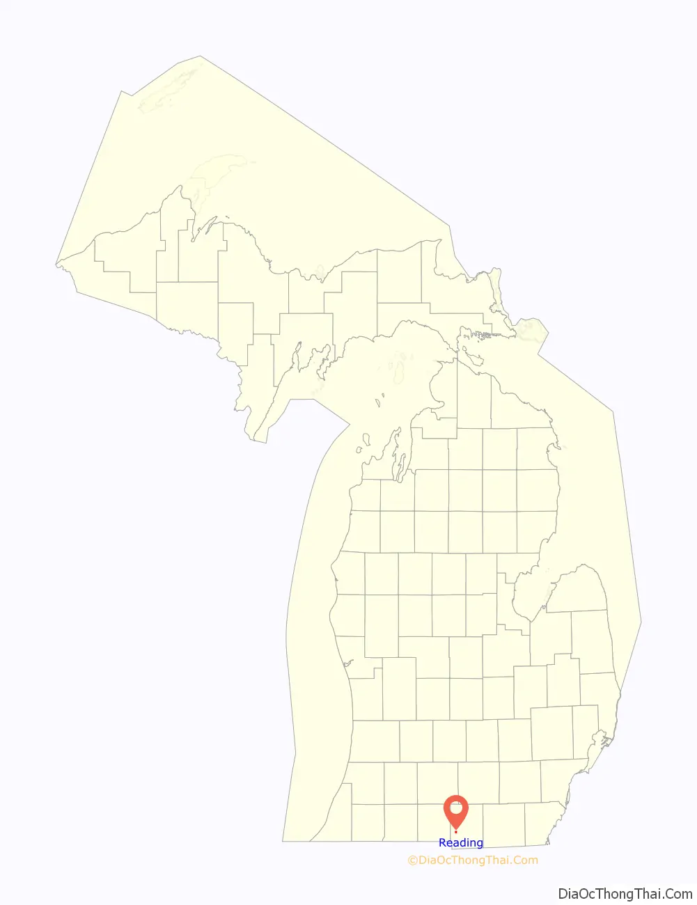
Reading location map. Where is Reading city?
History
Reading was settled in 1835 by a group of township locals and was originally named Basswood Corners after clumps of basswood trees located at the main intersection. It was given a post office named Reading on December 14, 1840 and was named after the township, which itself was named after Reading, Pennsylvania. The community was platted in 1852 and centered around a new sawmill. Reading received a railway station in 1869. It incorporated as a village in 1873 and as a city in 1934.
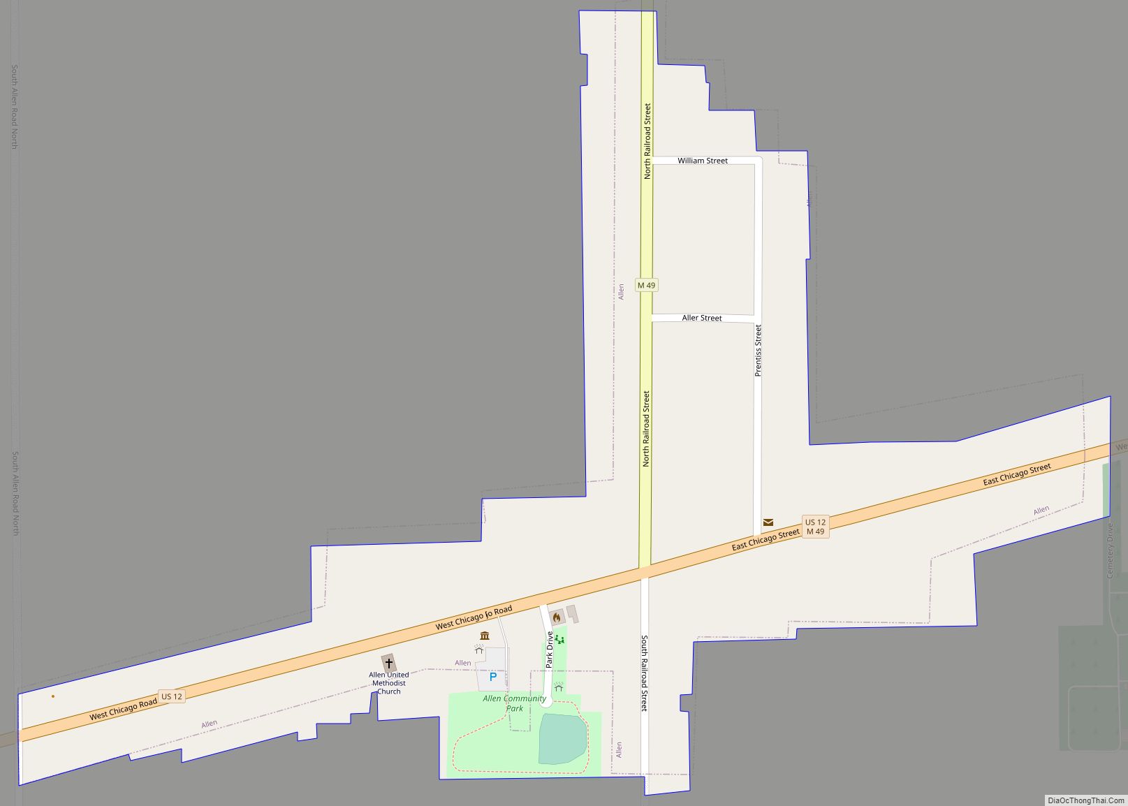
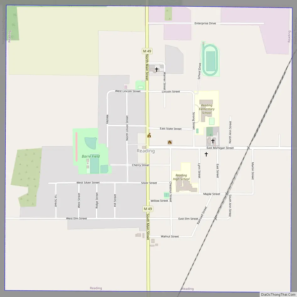
Reading Road Map
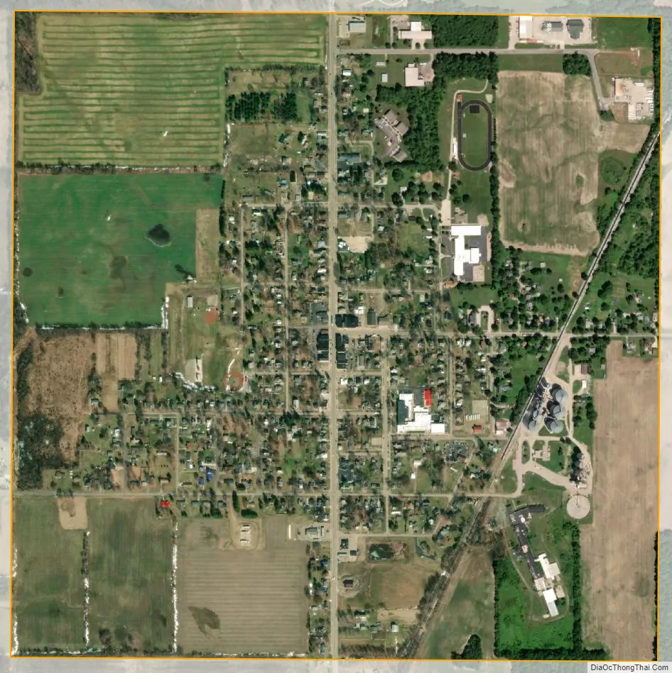
Reading city Satellite Map
Geography
According to the U.S. Census Bureau, the city has a total area of 1.01 square miles (2.62 km), all land.
Major highways
- M-49 (Main Street) runs south–north through the center of the city.
See also
Map of Michigan State and its subdivision:- Alcona
- Alger
- Allegan
- Alpena
- Antrim
- Arenac
- Baraga
- Barry
- Bay
- Benzie
- Berrien
- Branch
- Calhoun
- Cass
- Charlevoix
- Cheboygan
- Chippewa
- Clare
- Clinton
- Crawford
- Delta
- Dickinson
- Eaton
- Emmet
- Genesee
- Gladwin
- Gogebic
- Grand Traverse
- Gratiot
- Hillsdale
- Houghton
- Huron
- Ingham
- Ionia
- Iosco
- Iron
- Isabella
- Jackson
- Kalamazoo
- Kalkaska
- Kent
- Keweenaw
- Lake
- Lake Hurron
- Lake Michigan
- Lake St. Clair
- Lake Superior
- Lapeer
- Leelanau
- Lenawee
- Livingston
- Luce
- Mackinac
- Macomb
- Manistee
- Marquette
- Mason
- Mecosta
- Menominee
- Midland
- Missaukee
- Monroe
- Montcalm
- Montmorency
- Muskegon
- Newaygo
- Oakland
- Oceana
- Ogemaw
- Ontonagon
- Osceola
- Oscoda
- Otsego
- Ottawa
- Presque Isle
- Roscommon
- Saginaw
- Saint Clair
- Saint Joseph
- Sanilac
- Schoolcraft
- Shiawassee
- Tuscola
- Van Buren
- Washtenaw
- Wayne
- Wexford
- Alabama
- Alaska
- Arizona
- Arkansas
- California
- Colorado
- Connecticut
- Delaware
- District of Columbia
- Florida
- Georgia
- Hawaii
- Idaho
- Illinois
- Indiana
- Iowa
- Kansas
- Kentucky
- Louisiana
- Maine
- Maryland
- Massachusetts
- Michigan
- Minnesota
- Mississippi
- Missouri
- Montana
- Nebraska
- Nevada
- New Hampshire
- New Jersey
- New Mexico
- New York
- North Carolina
- North Dakota
- Ohio
- Oklahoma
- Oregon
- Pennsylvania
- Rhode Island
- South Carolina
- South Dakota
- Tennessee
- Texas
- Utah
- Vermont
- Virginia
- Washington
- West Virginia
- Wisconsin
- Wyoming