Roscommon (/rɒsˈkɒmən/ RAHS-kah-men) is a village in Roscommon County the U.S. state of Michigan. The population was 981 at the 2020 census. Roscommon is the county seat of Roscommon County.
| Name: | Roscommon village |
|---|---|
| LSAD Code: | 47 |
| LSAD Description: | village (suffix) |
| State: | Michigan |
| County: | Roscommon County |
| Incorporated: | 1882 |
| Elevation: | 1,135 ft (346 m) |
| Total Area: | 1.66 sq mi (4.30 km²) |
| Land Area: | 1.65 sq mi (4.27 km²) |
| Water Area: | 0.01 sq mi (0.03 km²) |
| Total Population: | 981 |
| Population Density: | 595.63/sq mi (230.02/km²) |
| Area code: | 989 |
| FIPS code: | 2669540 |
| GNISfeature ID: | 1621434 |
Online Interactive Map
Click on ![]() to view map in "full screen" mode.
to view map in "full screen" mode.
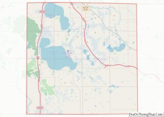
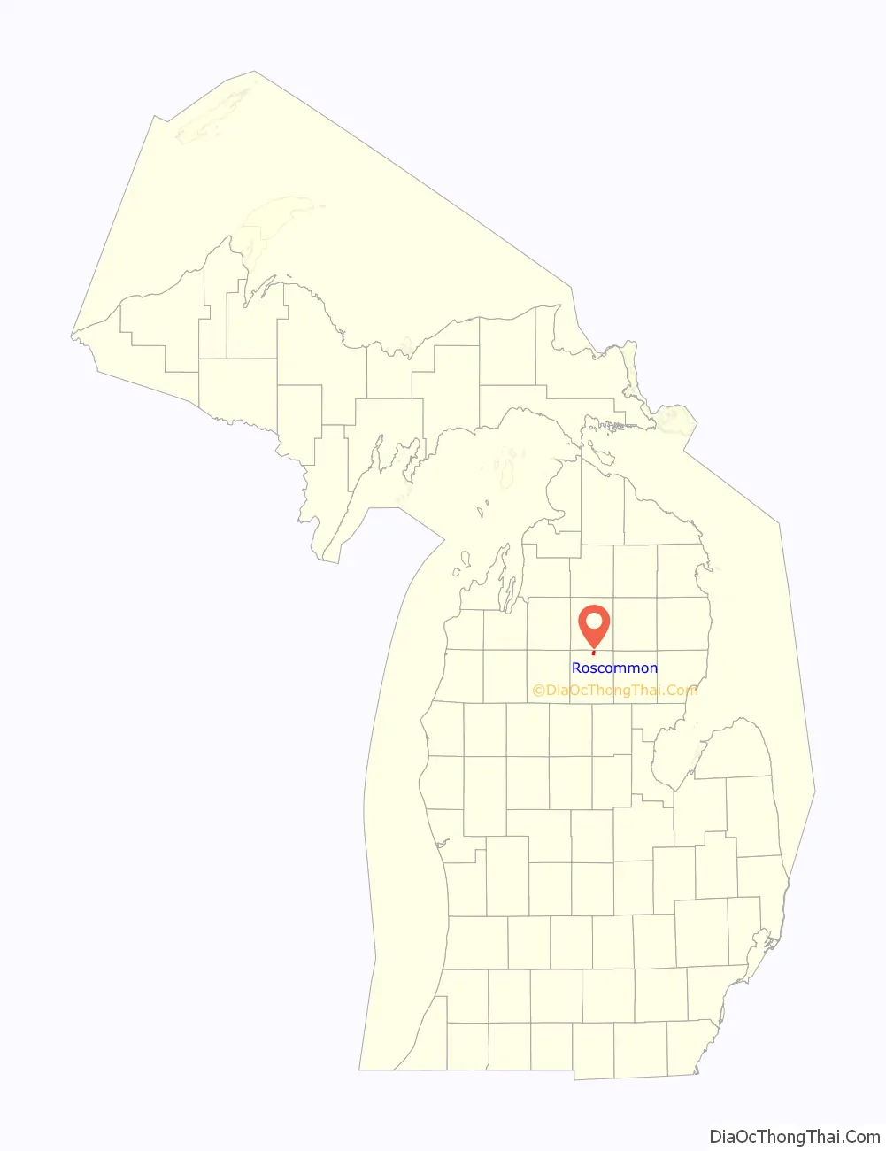
Roscommon location map. Where is Roscommon village?

History
The community of Roscommon was first settled as early as 1845 by George Robinson of Detroit shortly after Roscommon County was organized in 1840. The community was named after the county, which itself was named after County Roscommon in Ireland. The Roscommon post office was established on January 9, 1873 with Alfred Bennett serving as the first postmaster. In 1875, Roscommon became the county seat and incorporated as a village in 1882.
Beginning in 1979, the annual Michigan’s Firemen’s Memorial Festival is held in Roscommon and commemorates firefighters who died while protecting their communities.
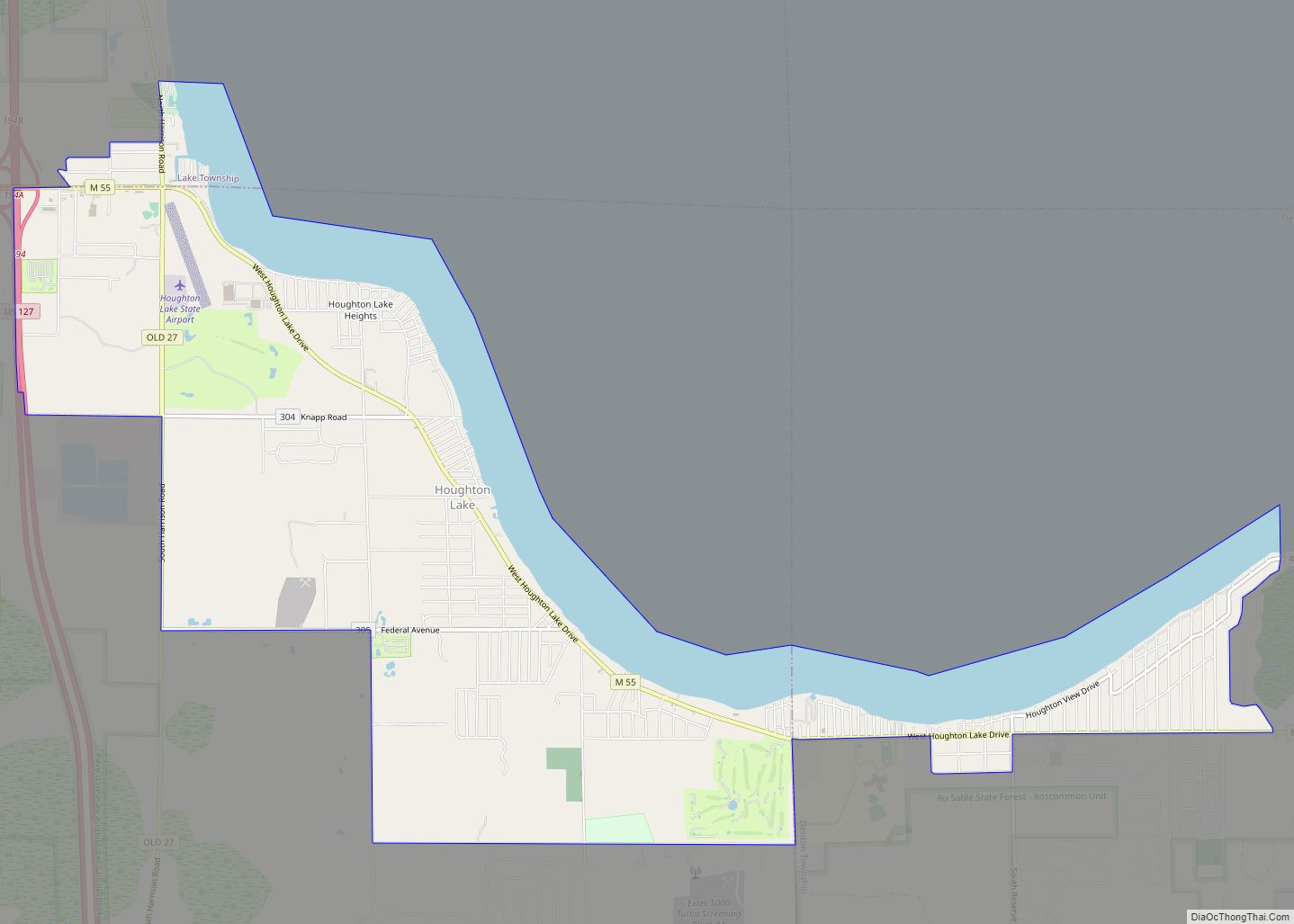
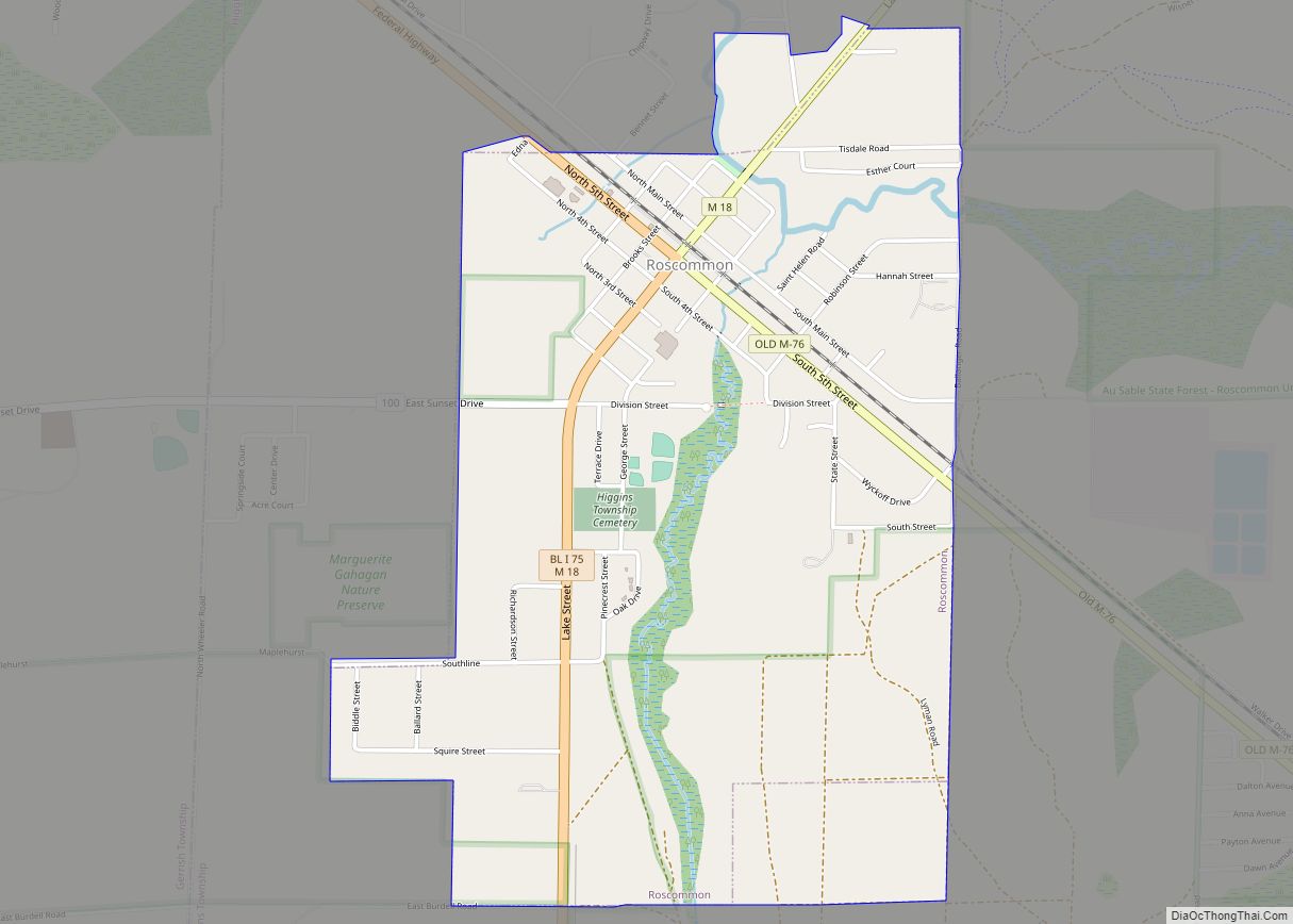
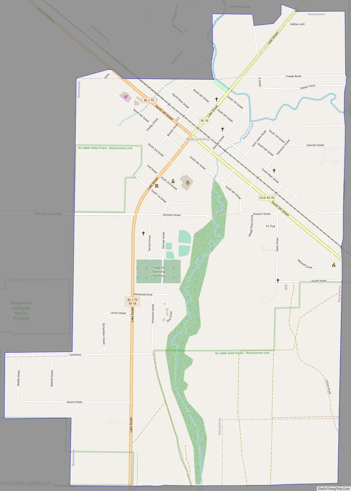
Roscommon Road Map
Roscommon city Satellite Map

Geography
According to the U.S. Census Bureau, the village has a total area of 1.66 square miles (4.30 km), of which 1.65 square miles (4.27 km) is land and 0.01 square miles (0.03 km) (0.60%) is water.
Roscommon is within close proximity of three state parks: South Higgins Lake State Park, North Higgins Lake State Park, and Hartwick Pines State Park. A 160-acre (65 ha) parcel within the Au Sable State Forest, referred to as the Roscommon Red Pines, is 8 miles (13 km) east of Roscommon. It is an old-growth stand of red pines. The South Branch of the Au Sable River passes through the village and is a popular destination for kayaking, canoeing, and fishing.
The village of Roscommon is located within Higgins Township in the northern portion of the county. Roscommon has its own post office with the 48653 ZIP Code, which also serves all of Gerrish Township, most of Lyon Township, and smaller areas extending into Lake Township, Markey Township, and Au Sable Township. It also serves portions of South Branch Township and Beaver Creek Township to the north in Crawford County.
Major highways
- I-75 passes about 2.0 miles (3.2 km) south of the village and is accessible via exit 239 (M-18, also known as North Roscommon Road at this point).
- BL I-75 runs concurrent with M-18 from exit 239.
- M-18 (Lake Street) runs through the center of the village.
See also
Map of Michigan State and its subdivision:- Alcona
- Alger
- Allegan
- Alpena
- Antrim
- Arenac
- Baraga
- Barry
- Bay
- Benzie
- Berrien
- Branch
- Calhoun
- Cass
- Charlevoix
- Cheboygan
- Chippewa
- Clare
- Clinton
- Crawford
- Delta
- Dickinson
- Eaton
- Emmet
- Genesee
- Gladwin
- Gogebic
- Grand Traverse
- Gratiot
- Hillsdale
- Houghton
- Huron
- Ingham
- Ionia
- Iosco
- Iron
- Isabella
- Jackson
- Kalamazoo
- Kalkaska
- Kent
- Keweenaw
- Lake
- Lake Hurron
- Lake Michigan
- Lake St. Clair
- Lake Superior
- Lapeer
- Leelanau
- Lenawee
- Livingston
- Luce
- Mackinac
- Macomb
- Manistee
- Marquette
- Mason
- Mecosta
- Menominee
- Midland
- Missaukee
- Monroe
- Montcalm
- Montmorency
- Muskegon
- Newaygo
- Oakland
- Oceana
- Ogemaw
- Ontonagon
- Osceola
- Oscoda
- Otsego
- Ottawa
- Presque Isle
- Roscommon
- Saginaw
- Saint Clair
- Saint Joseph
- Sanilac
- Schoolcraft
- Shiawassee
- Tuscola
- Van Buren
- Washtenaw
- Wayne
- Wexford
- Alabama
- Alaska
- Arizona
- Arkansas
- California
- Colorado
- Connecticut
- Delaware
- District of Columbia
- Florida
- Georgia
- Hawaii
- Idaho
- Illinois
- Indiana
- Iowa
- Kansas
- Kentucky
- Louisiana
- Maine
- Maryland
- Massachusetts
- Michigan
- Minnesota
- Mississippi
- Missouri
- Montana
- Nebraska
- Nevada
- New Hampshire
- New Jersey
- New Mexico
- New York
- North Carolina
- North Dakota
- Ohio
- Oklahoma
- Oregon
- Pennsylvania
- Rhode Island
- South Carolina
- South Dakota
- Tennessee
- Texas
- Utah
- Vermont
- Virginia
- Washington
- West Virginia
- Wisconsin
- Wyoming