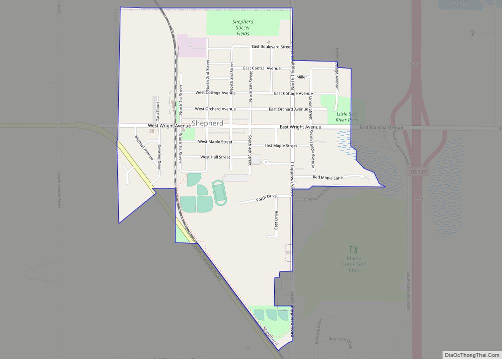
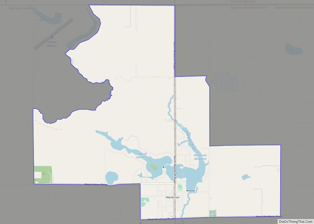
Rosebush is a village in Isabella County in the U.S. state of Michigan. The population was 368 at the 2010 census. The village is within Isabella Township.
| Name: | Rosebush village |
|---|---|
| LSAD Code: | 47 |
| LSAD Description: | village (suffix) |
| State: | Michigan |
| County: | Isabella County |
| Elevation: | 781 ft (238 m) |
| Total Area: | 0.89 sq mi (2.31 km²) |
| Land Area: | 0.89 sq mi (2.30 km²) |
| Water Area: | 0.00 sq mi (0.00 km²) |
| Total Population: | 353 |
| Population Density: | 397.08/sq mi (153.32/km²) |
| Area code: | 989 |
| FIPS code: | 2669640 |
| GNISfeature ID: | 0636218 |
Online Interactive Map
Click on ![]() to view map in "full screen" mode.
to view map in "full screen" mode.
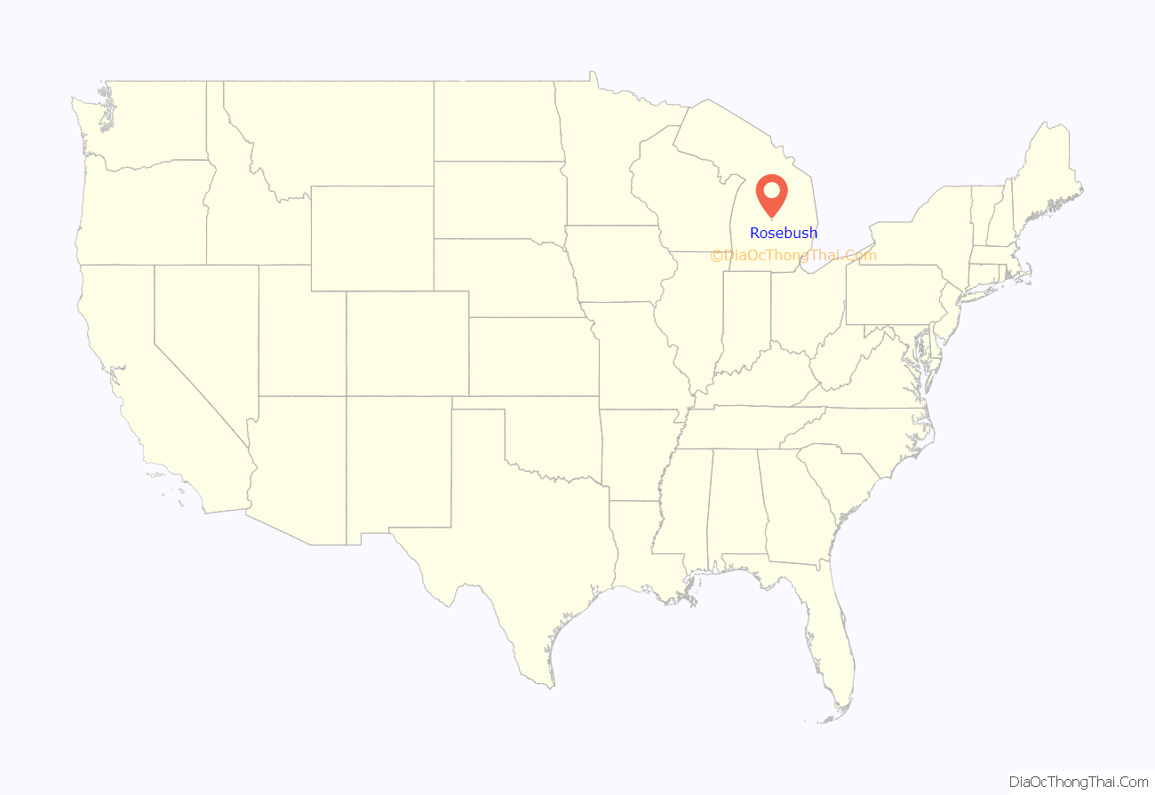
Rosebush location map. Where is Rosebush village?
History
Rosebush began in 1844 when Cornelius Bogan started a general store. He called the town Halfway because it was approximately halfway between Clare and Mount Pleasant. In 1868, the Ann Arbor Railroad came through the area and resident James Bush, while officially platting the land, bartered with the railroad some of his property for the right to have the station named after his wife, Rose. An addition to the community was later platted in 1873 by Elias B. Calkins and named Calkinsville – this was the name of the original post office on July 9, 1873. The post office name was changed to Rosebush in 1889, back to Calkinsville in 1890 and once again Rosebush on February 19, 1903. The name has remained unchanged since.
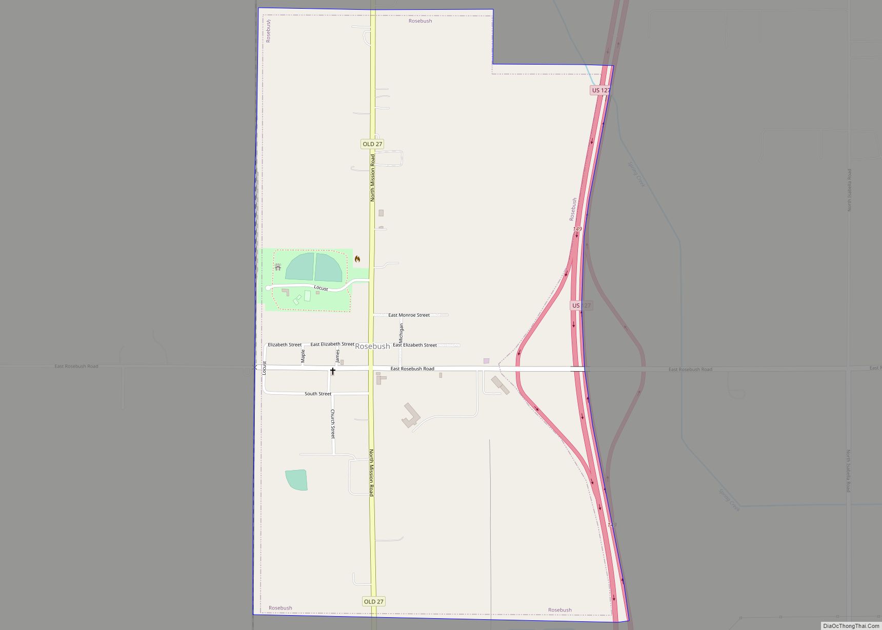
Rosebush Road Map
Rosebush city Satellite Map
Geography
According to the United States Census Bureau, the village has a total area of 0.89 square miles (2.31 km), all land.
See also
Map of Michigan State and its subdivision:- Alcona
- Alger
- Allegan
- Alpena
- Antrim
- Arenac
- Baraga
- Barry
- Bay
- Benzie
- Berrien
- Branch
- Calhoun
- Cass
- Charlevoix
- Cheboygan
- Chippewa
- Clare
- Clinton
- Crawford
- Delta
- Dickinson
- Eaton
- Emmet
- Genesee
- Gladwin
- Gogebic
- Grand Traverse
- Gratiot
- Hillsdale
- Houghton
- Huron
- Ingham
- Ionia
- Iosco
- Iron
- Isabella
- Jackson
- Kalamazoo
- Kalkaska
- Kent
- Keweenaw
- Lake
- Lake Hurron
- Lake Michigan
- Lake St. Clair
- Lake Superior
- Lapeer
- Leelanau
- Lenawee
- Livingston
- Luce
- Mackinac
- Macomb
- Manistee
- Marquette
- Mason
- Mecosta
- Menominee
- Midland
- Missaukee
- Monroe
- Montcalm
- Montmorency
- Muskegon
- Newaygo
- Oakland
- Oceana
- Ogemaw
- Ontonagon
- Osceola
- Oscoda
- Otsego
- Ottawa
- Presque Isle
- Roscommon
- Saginaw
- Saint Clair
- Saint Joseph
- Sanilac
- Schoolcraft
- Shiawassee
- Tuscola
- Van Buren
- Washtenaw
- Wayne
- Wexford
- Alabama
- Alaska
- Arizona
- Arkansas
- California
- Colorado
- Connecticut
- Delaware
- District of Columbia
- Florida
- Georgia
- Hawaii
- Idaho
- Illinois
- Indiana
- Iowa
- Kansas
- Kentucky
- Louisiana
- Maine
- Maryland
- Massachusetts
- Michigan
- Minnesota
- Mississippi
- Missouri
- Montana
- Nebraska
- Nevada
- New Hampshire
- New Jersey
- New Mexico
- New York
- North Carolina
- North Dakota
- Ohio
- Oklahoma
- Oregon
- Pennsylvania
- Rhode Island
- South Carolina
- South Dakota
- Tennessee
- Texas
- Utah
- Vermont
- Virginia
- Washington
- West Virginia
- Wisconsin
- Wyoming
