Sheridan is a village in Montcalm County in the U.S. state of Michigan. The population was 649 at the 2010 census. The village is located at the corners of four townships and incorporates land from each: Evergreen Township to the northeast, Bushnell Township to the southeast, Fairplain Township to the southwest, and Sidney Township to the northwest.
| Name: | Sheridan village |
|---|---|
| LSAD Code: | 47 |
| LSAD Description: | village (suffix) |
| State: | Michigan |
| County: | Montcalm County |
| Elevation: | 843 ft (257 m) |
| Total Area: | 1.16 sq mi (3.00 km²) |
| Land Area: | 1.10 sq mi (2.85 km²) |
| Water Area: | 0.06 sq mi (0.15 km²) |
| Total Population: | 692 |
| Population Density: | 628.52/sq mi (242.70/km²) |
| ZIP code: | 48884 |
| Area code: | 989 |
| FIPS code: | 2673100 |
| GNISfeature ID: | 2399801 |
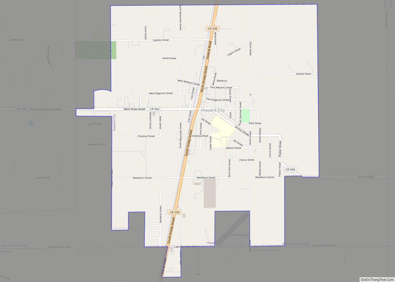
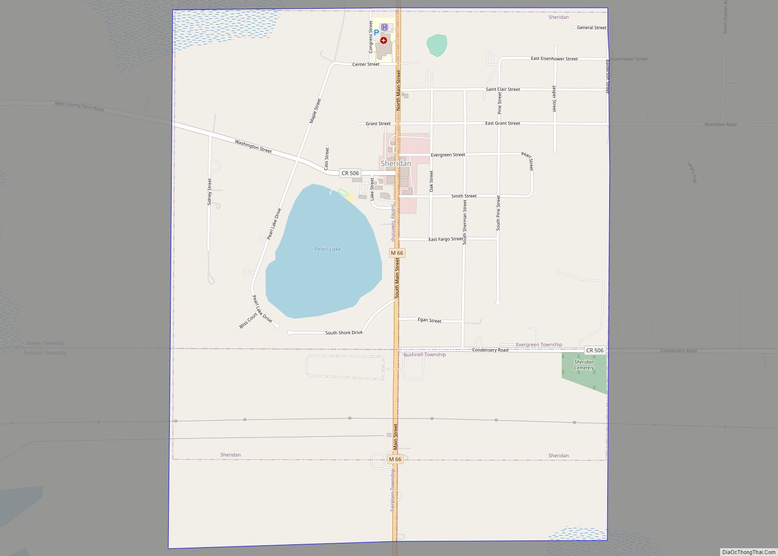
Online Interactive Map
Click on ![]() to view map in "full screen" mode.
to view map in "full screen" mode.
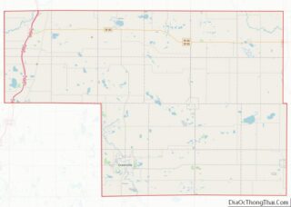
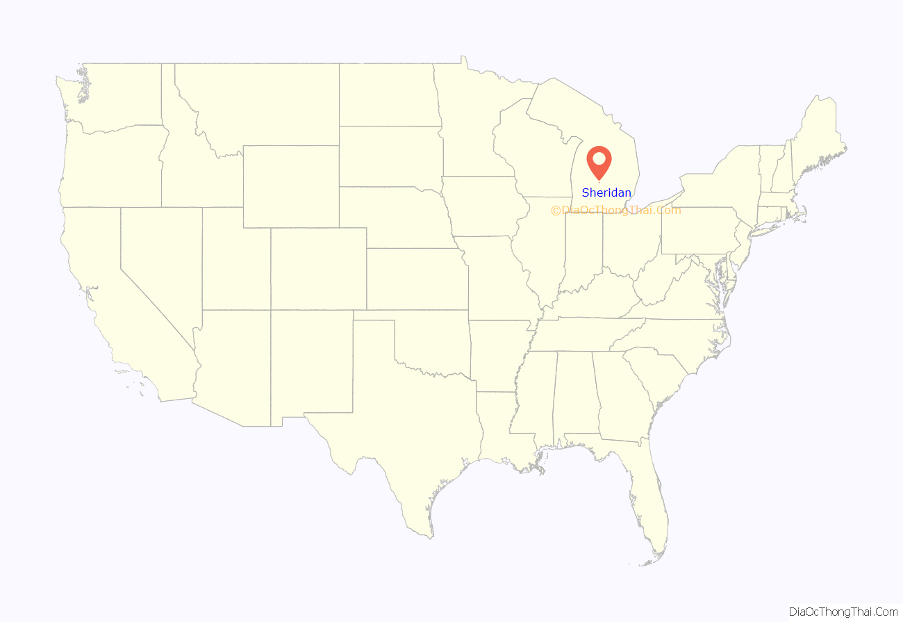
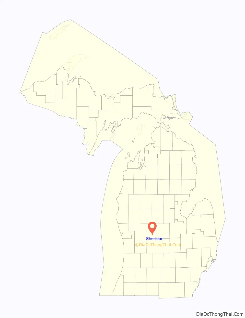
Sheridan location map. Where is Sheridan village?
History
In 1851, Louis Lovell recorded an entry for land here and John W. Winsor built the first business, a sawmill. A shingle-mill owner, Erastus P. Brown, became the first postmaster here on October 14, 1864. It was a station on the Toledo, Saginaw and Muskegon Railway. Sheridan incorporated as a village in 1877 and was named for Union Civil War General Philip Sheridan.
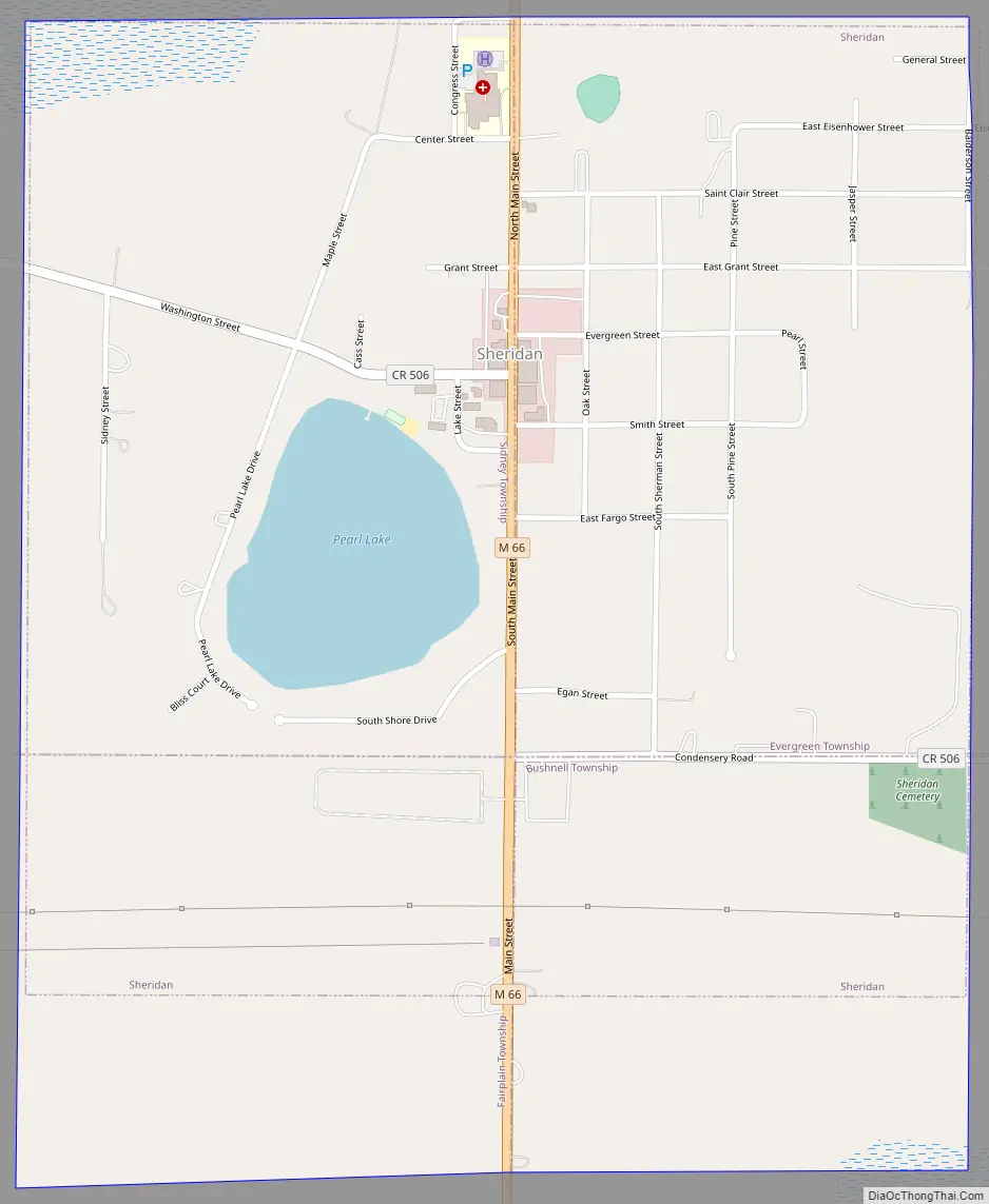
Sheridan Road Map
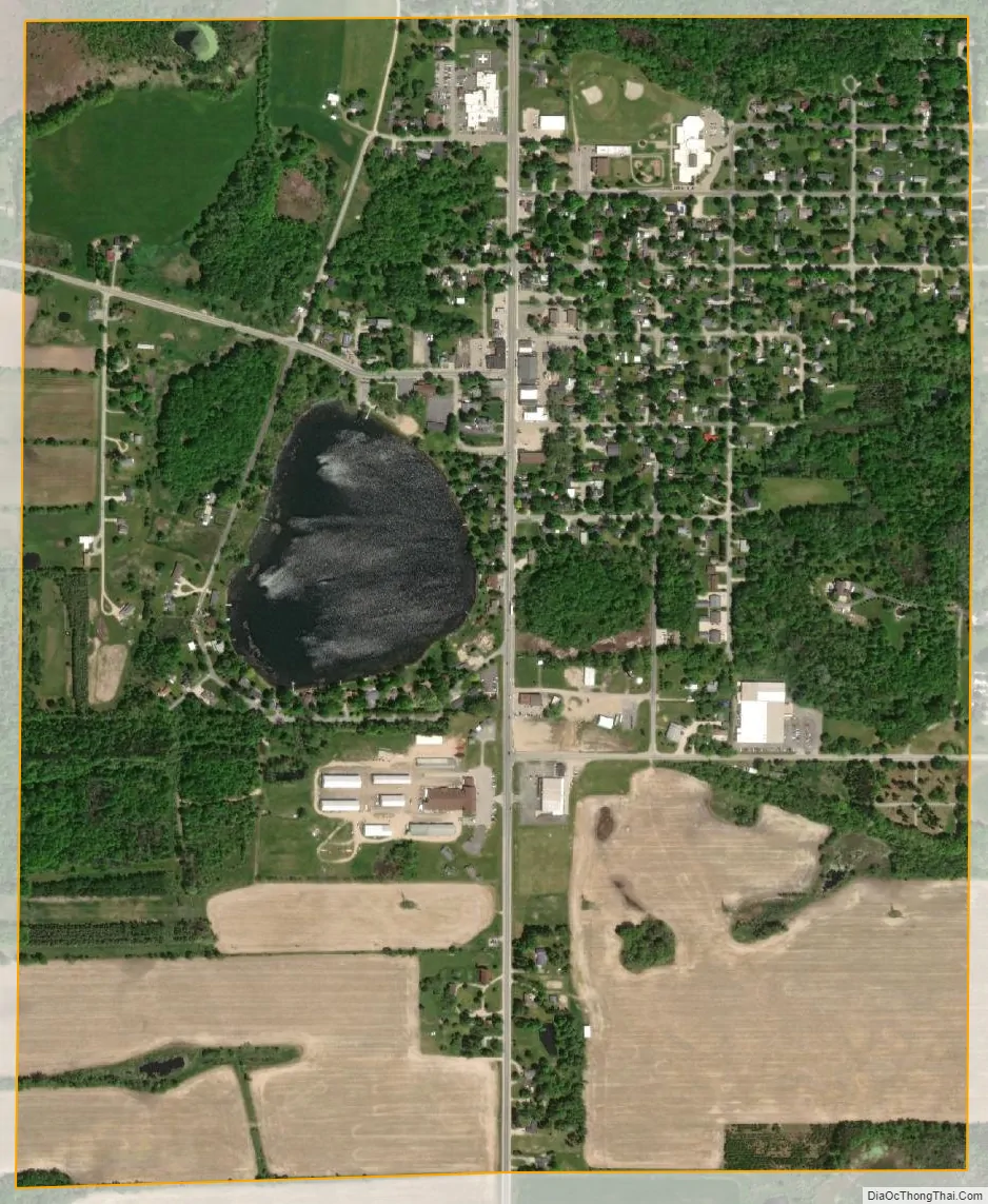
Sheridan city Satellite Map
Geography
According to the United States Census Bureau, the village has a total area of 1.16 square miles (3.00 km), of which 1.10 square miles (2.85 km) is land and 0.06 square miles (0.16 km) is water.
The Sheridan post office, with ZIP code 48884, also serves portions of the four surrounding townships: Evergreen Township to the northeast, Bushnell Township to the southeast, Fairplain Township to the southwest, and Sidney Township to the northwest, as well as part of Crystal Township to the east of Evergreen, Bloomer Township to the east of Bushnell, and Montcalm Township to the west of Sidney.
See also
Map of Michigan State and its subdivision:- Alcona
- Alger
- Allegan
- Alpena
- Antrim
- Arenac
- Baraga
- Barry
- Bay
- Benzie
- Berrien
- Branch
- Calhoun
- Cass
- Charlevoix
- Cheboygan
- Chippewa
- Clare
- Clinton
- Crawford
- Delta
- Dickinson
- Eaton
- Emmet
- Genesee
- Gladwin
- Gogebic
- Grand Traverse
- Gratiot
- Hillsdale
- Houghton
- Huron
- Ingham
- Ionia
- Iosco
- Iron
- Isabella
- Jackson
- Kalamazoo
- Kalkaska
- Kent
- Keweenaw
- Lake
- Lake Hurron
- Lake Michigan
- Lake St. Clair
- Lake Superior
- Lapeer
- Leelanau
- Lenawee
- Livingston
- Luce
- Mackinac
- Macomb
- Manistee
- Marquette
- Mason
- Mecosta
- Menominee
- Midland
- Missaukee
- Monroe
- Montcalm
- Montmorency
- Muskegon
- Newaygo
- Oakland
- Oceana
- Ogemaw
- Ontonagon
- Osceola
- Oscoda
- Otsego
- Ottawa
- Presque Isle
- Roscommon
- Saginaw
- Saint Clair
- Saint Joseph
- Sanilac
- Schoolcraft
- Shiawassee
- Tuscola
- Van Buren
- Washtenaw
- Wayne
- Wexford
- Alabama
- Alaska
- Arizona
- Arkansas
- California
- Colorado
- Connecticut
- Delaware
- District of Columbia
- Florida
- Georgia
- Hawaii
- Idaho
- Illinois
- Indiana
- Iowa
- Kansas
- Kentucky
- Louisiana
- Maine
- Maryland
- Massachusetts
- Michigan
- Minnesota
- Mississippi
- Missouri
- Montana
- Nebraska
- Nevada
- New Hampshire
- New Jersey
- New Mexico
- New York
- North Carolina
- North Dakota
- Ohio
- Oklahoma
- Oregon
- Pennsylvania
- Rhode Island
- South Carolina
- South Dakota
- Tennessee
- Texas
- Utah
- Vermont
- Virginia
- Washington
- West Virginia
- Wisconsin
- Wyoming