South Rockwood is a village in Monroe County in the U.S. state of Michigan. The population was 1,587 at the 2020 census. The village is located within Berlin Charter Township.
| Name: | South Rockwood village |
|---|---|
| LSAD Code: | 47 |
| LSAD Description: | village (suffix) |
| State: | Michigan |
| County: | Monroe County |
| Founded: | 1863 |
| Incorporated: | 1955 |
| Elevation: | 587 ft (179 m) |
| Total Area: | 3.33 sq mi (8.62 km²) |
| Land Area: | 3.27 sq mi (8.47 km²) |
| Water Area: | 0.06 sq mi (0.16 km²) |
| Total Population: | 1,587 |
| Population Density: | 484.58/sq mi (187.11/km²) |
| Area code: | 734 |
| FIPS code: | 2675280 |
| GNISfeature ID: | 0638409 |
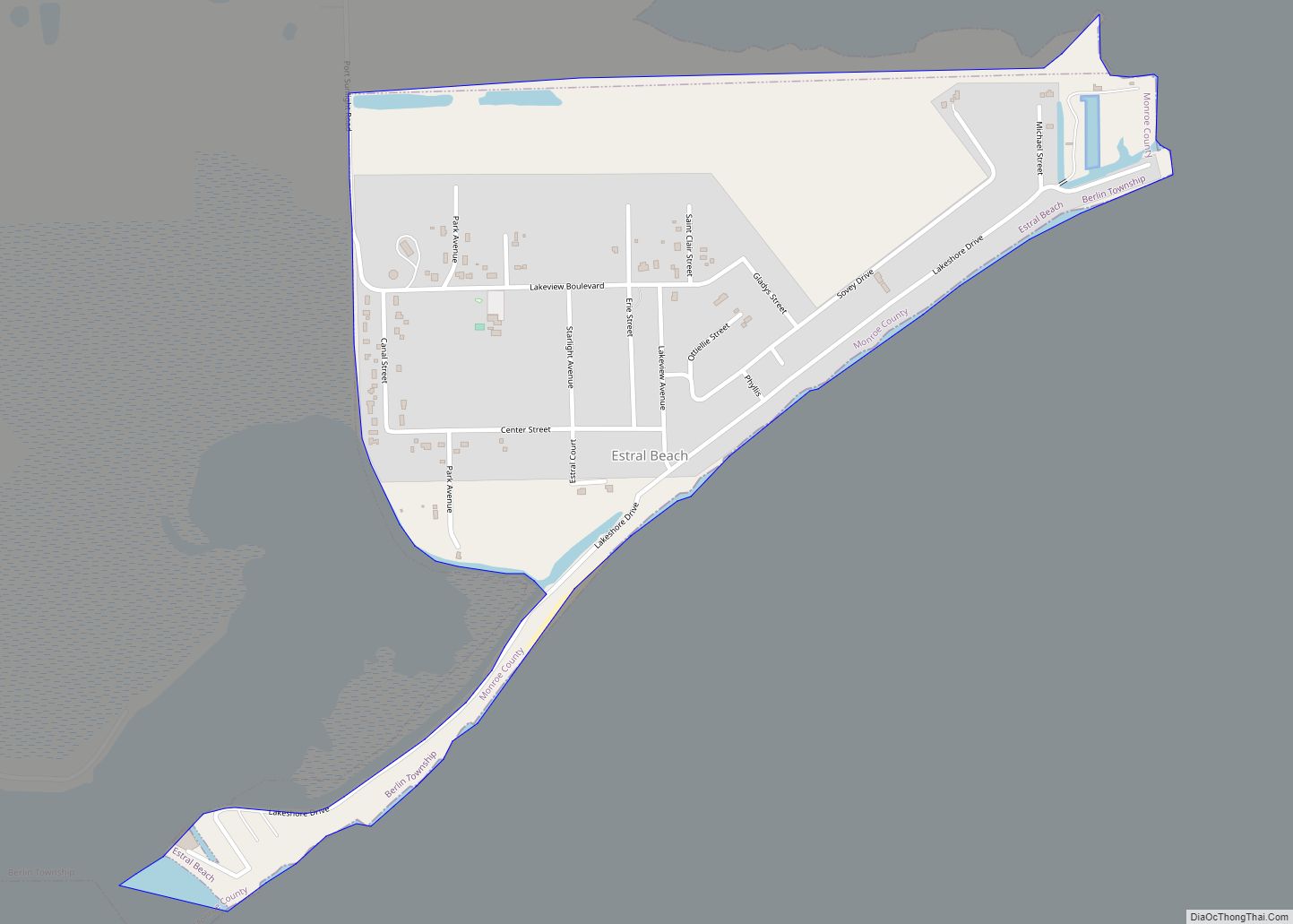
Online Interactive Map
Click on ![]() to view map in "full screen" mode.
to view map in "full screen" mode.
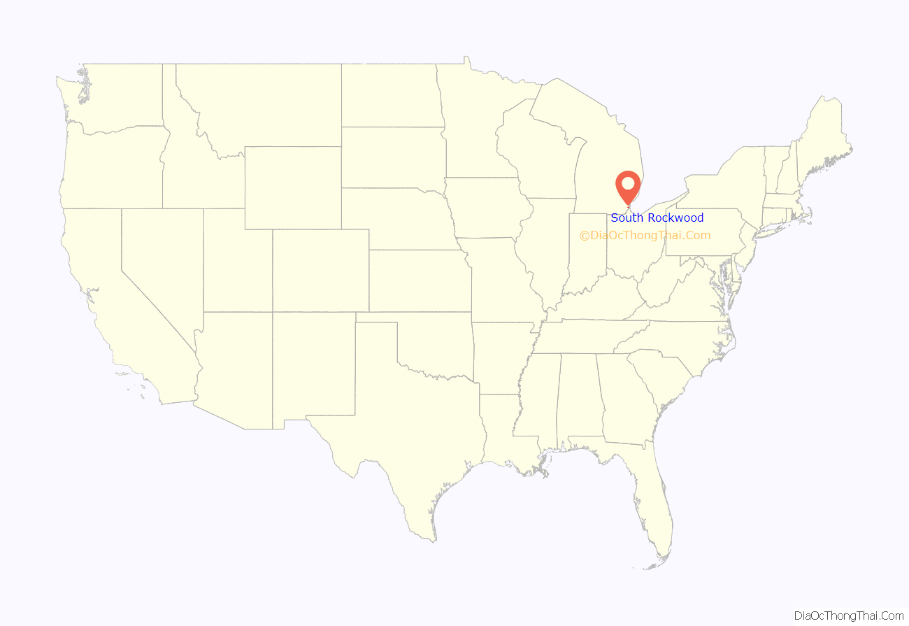
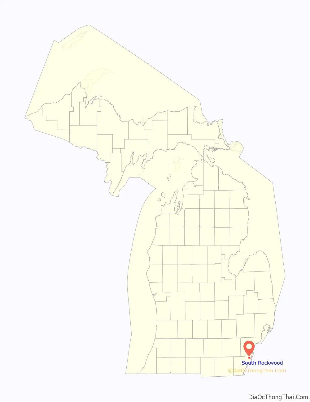
South Rockwood location map. Where is South Rockwood village?
History
South Rockwood was founded in 1863 by John Strong, who named the community after Rockwood, Ontario. The nearby community of Rockwood, Michigan was located just to the north and was settled a few years earlier. Strong established the South Rockwood post office on July 5, 1877. South Rockwood incorporated as a village in 1955.
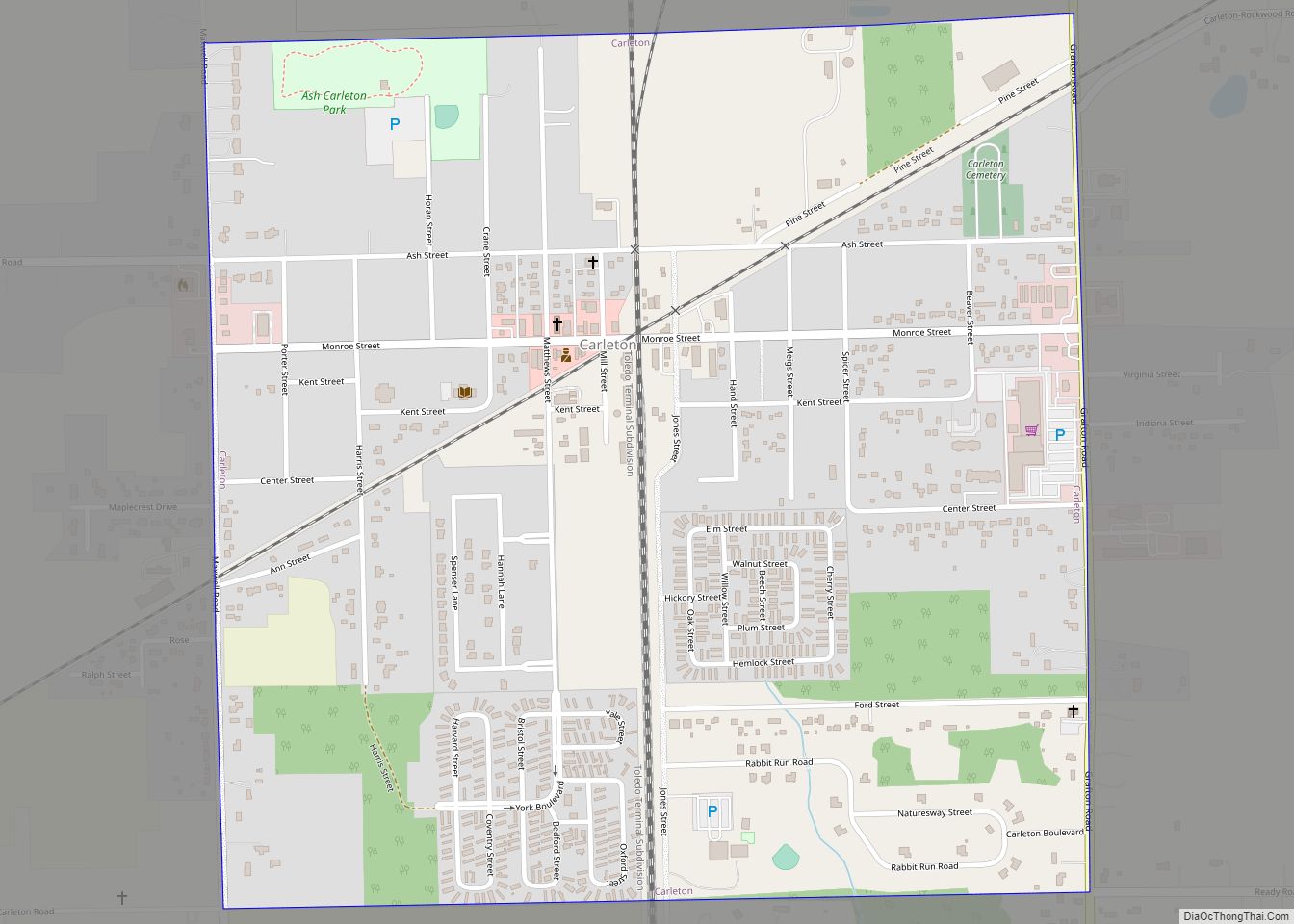
South Rockwood Road Map
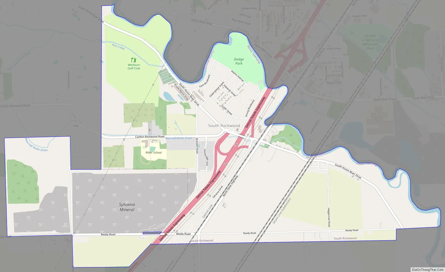
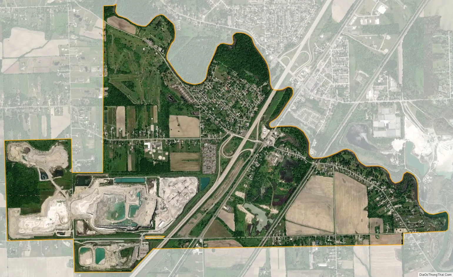
South Rockwood city Satellite Map
Geography
According to the U.S. Census Bureau, the village has a total area of 3.33 square miles (8.62 km), of which 3.27 square miles (8.47 km) is land and 0.06 square miles (0.16 km) (1.80%) is water.
The Huron River forms the northern boundary of the village and county line with the city of Rockwood in Wayne County.
Major highways
- I-75 runs south–north though the center of the village and is accessible via exit 26 (South Huron River Drive).
See also
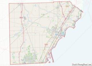
Map of Michigan State and its subdivision:- Alcona
- Alger
- Allegan
- Alpena
- Antrim
- Arenac
- Baraga
- Barry
- Bay
- Benzie
- Berrien
- Branch
- Calhoun
- Cass
- Charlevoix
- Cheboygan
- Chippewa
- Clare
- Clinton
- Crawford
- Delta
- Dickinson
- Eaton
- Emmet
- Genesee
- Gladwin
- Gogebic
- Grand Traverse
- Gratiot
- Hillsdale
- Houghton
- Huron
- Ingham
- Ionia
- Iosco
- Iron
- Isabella
- Jackson
- Kalamazoo
- Kalkaska
- Kent
- Keweenaw
- Lake
- Lake Hurron
- Lake Michigan
- Lake St. Clair
- Lake Superior
- Lapeer
- Leelanau
- Lenawee
- Livingston
- Luce
- Mackinac
- Macomb
- Manistee
- Marquette
- Mason
- Mecosta
- Menominee
- Midland
- Missaukee
- Monroe
- Montcalm
- Montmorency
- Muskegon
- Newaygo
- Oakland
- Oceana
- Ogemaw
- Ontonagon
- Osceola
- Oscoda
- Otsego
- Ottawa
- Presque Isle
- Roscommon
- Saginaw
- Saint Clair
- Saint Joseph
- Sanilac
- Schoolcraft
- Shiawassee
- Tuscola
- Van Buren
- Washtenaw
- Wayne
- Wexford
- Alabama
- Alaska
- Arizona
- Arkansas
- California
- Colorado
- Connecticut
- Delaware
- District of Columbia
- Florida
- Georgia
- Hawaii
- Idaho
- Illinois
- Indiana
- Iowa
- Kansas
- Kentucky
- Louisiana
- Maine
- Maryland
- Massachusetts
- Michigan
- Minnesota
- Mississippi
- Missouri
- Montana
- Nebraska
- Nevada
- New Hampshire
- New Jersey
- New Mexico
- New York
- North Carolina
- North Dakota
- Ohio
- Oklahoma
- Oregon
- Pennsylvania
- Rhode Island
- South Carolina
- South Dakota
- Tennessee
- Texas
- Utah
- Vermont
- Virginia
- Washington
- West Virginia
- Wisconsin
- Wyoming