St. Clair is a city in St. Clair County in the eastern “Thumb” of the U.S. state of Michigan. The population was 5,485 at the 2010 census. The city is located on the St. Clair River near the southeast corner of St. Clair Township.
| Name: | St. Clair city |
|---|---|
| LSAD Code: | 25 |
| LSAD Description: | city (suffix) |
| State: | Michigan |
| County: | St. Clair County |
| Elevation: | 584 ft (178 m) |
| Total Area: | 3.62 sq mi (9.37 km²) |
| Land Area: | 2.94 sq mi (7.61 km²) |
| Water Area: | 0.68 sq mi (1.75 km²) |
| Total Population: | 5,464 |
| Population Density: | 1,858.50/sq mi (717.64/km²) |
| Area code: | 810 |
| FIPS code: | 2670680 |
| GNISfeature ID: | 1624881 |
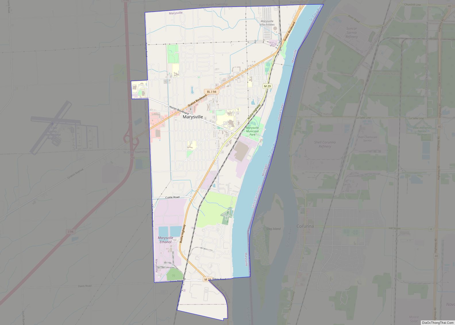
Online Interactive Map
Click on ![]() to view map in "full screen" mode.
to view map in "full screen" mode.
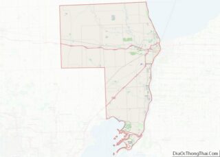
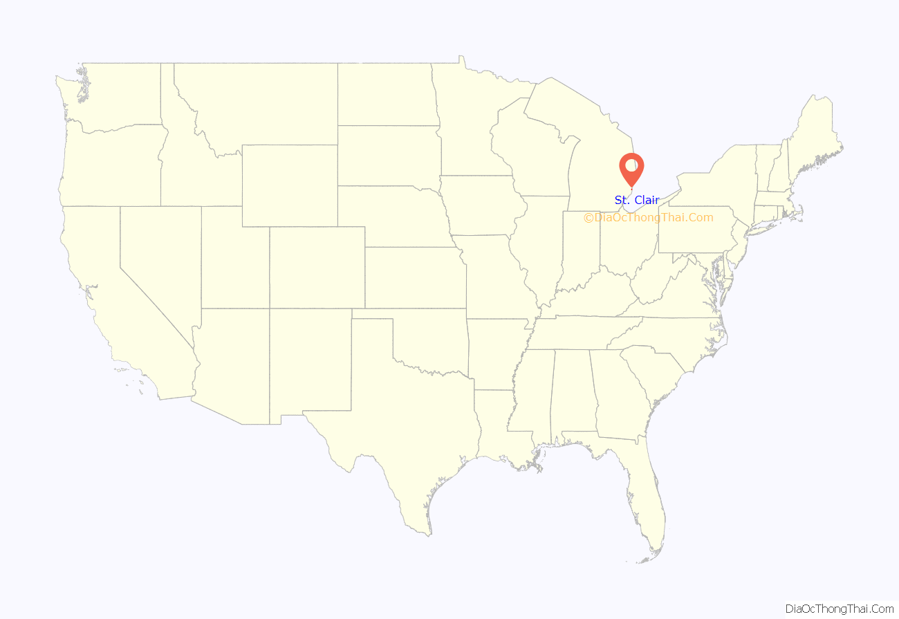
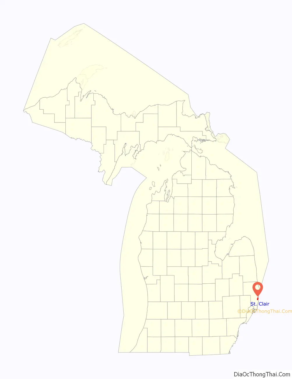
St. Clair location map. Where is St. Clair city?
History
St. Clair was first platted under the name of Palmer by Thomas Palmer in 1828. The city of St. Clair’s roots go back to 1764, when a British fort was built on the south side of the Pine River near where it flows into the St. Clair River. Pontiac’s Rebellion had taken place the year before and the British wanted a military base on the St. Clair River to protect their shipping route between Detroit and Fort Michilimackinac. Col. Patrick Sinclair was given the task of building it. He also made the new Fort Sinclair a trading post and sawmill center. The fort and the trading post both operated for about twenty years.
In 1817, Robert Fulton platted a town on the north side of the Pine River. He lobbied for the creation of St. Clair County, and then convinced the state to make his settlement the new county seat. St. Clair remained the county seat until 1871, when it was moved to Port Huron.
Thomas Palmer of Detroit bought Fulton’s mostly undeveloped town in 1826, and for a time the village was called Palmer. The sawmill industry began to flourish due to the area’s large supply of pine and oak. Clay from the Pine River’s banks provided the material for several brickyards that operated into the Twentieth Century. Shipbuilding began in the 1820s and continued for a hundred years. Many of the town’s men became sailors on the Great Lakes and numerous captains built homes in the city. In 1887, the Diamond Crystal Salt Company began tapping the area’s vast underground salt deposits.
In the late 1800s, St. Clair became a well-known resort with the building of the luxurious Oakland Hotel in 1881 and the Somerville Hotel in 1888. In addition to the natural wonders of the area, both hotels offered mineral baths. Passenger steamers stopped daily at the hotel docks.
In the 1960s, the downtown area was redeveloped with the help of the U.S. Department of Housing and Urban Development. The crown jewel of the project was the expansion of Palmer Park with its boardwalk along the St. Clair River. Today, this beautiful park draws visitors from all over.
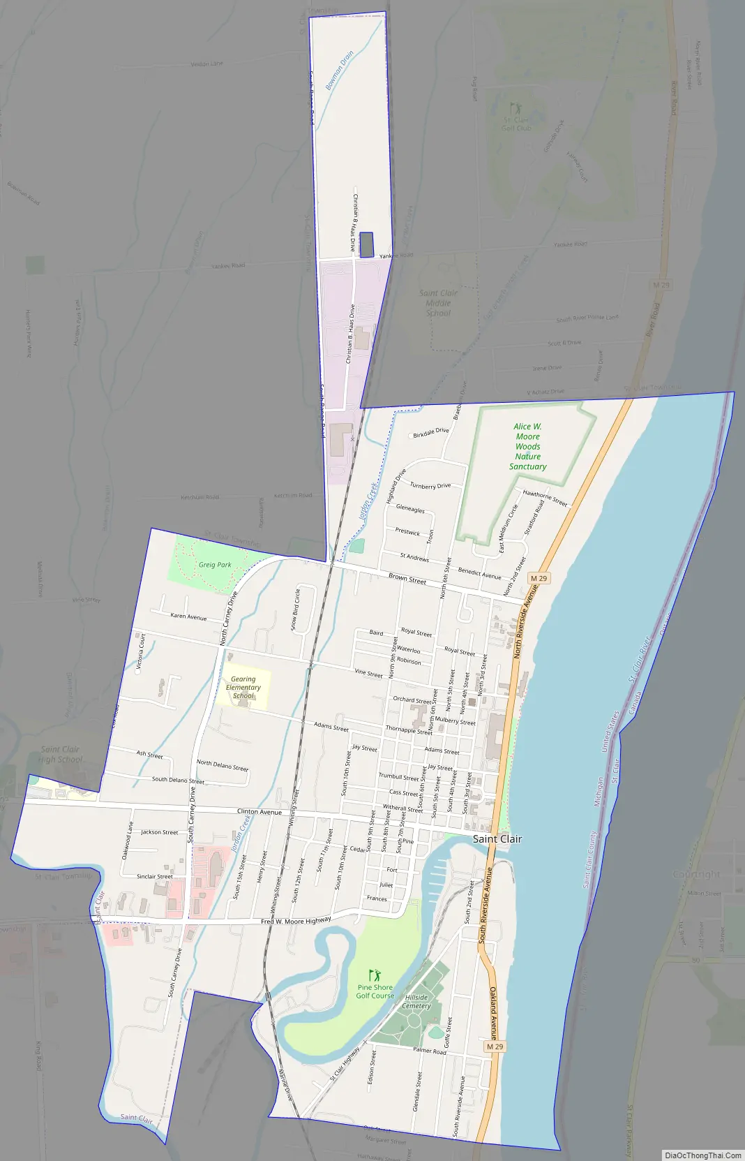
St. Clair Road Map
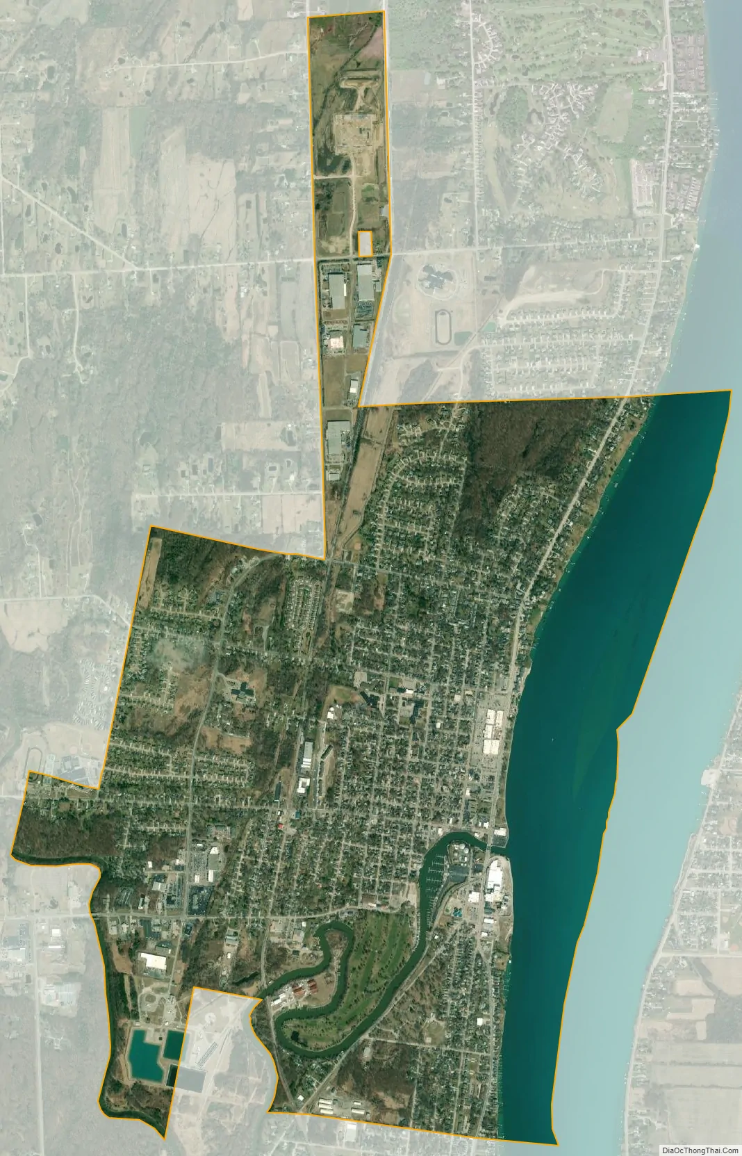
St. Clair city Satellite Map
Geography
- According to the United States Census Bureau, the city has a total area of 3.61 square miles (9.35 km), of which 2.93 square miles (7.59 km) is land and 0.68 square miles (1.76 km) is water. The city is located along the St. Clair River.
- It lies in the Thumb of Michigan.
- Saint Clair can also be considered as in the Blue Water area, a subregion of the Thumb.
- The City of St. Clair has much upscale housing along the St. Clair River. The Saint Clair area attracts many tourists from Metro Detroit.
See also
Map of Michigan State and its subdivision:- Alcona
- Alger
- Allegan
- Alpena
- Antrim
- Arenac
- Baraga
- Barry
- Bay
- Benzie
- Berrien
- Branch
- Calhoun
- Cass
- Charlevoix
- Cheboygan
- Chippewa
- Clare
- Clinton
- Crawford
- Delta
- Dickinson
- Eaton
- Emmet
- Genesee
- Gladwin
- Gogebic
- Grand Traverse
- Gratiot
- Hillsdale
- Houghton
- Huron
- Ingham
- Ionia
- Iosco
- Iron
- Isabella
- Jackson
- Kalamazoo
- Kalkaska
- Kent
- Keweenaw
- Lake
- Lake Hurron
- Lake Michigan
- Lake St. Clair
- Lake Superior
- Lapeer
- Leelanau
- Lenawee
- Livingston
- Luce
- Mackinac
- Macomb
- Manistee
- Marquette
- Mason
- Mecosta
- Menominee
- Midland
- Missaukee
- Monroe
- Montcalm
- Montmorency
- Muskegon
- Newaygo
- Oakland
- Oceana
- Ogemaw
- Ontonagon
- Osceola
- Oscoda
- Otsego
- Ottawa
- Presque Isle
- Roscommon
- Saginaw
- Saint Clair
- Saint Joseph
- Sanilac
- Schoolcraft
- Shiawassee
- Tuscola
- Van Buren
- Washtenaw
- Wayne
- Wexford
- Alabama
- Alaska
- Arizona
- Arkansas
- California
- Colorado
- Connecticut
- Delaware
- District of Columbia
- Florida
- Georgia
- Hawaii
- Idaho
- Illinois
- Indiana
- Iowa
- Kansas
- Kentucky
- Louisiana
- Maine
- Maryland
- Massachusetts
- Michigan
- Minnesota
- Mississippi
- Missouri
- Montana
- Nebraska
- Nevada
- New Hampshire
- New Jersey
- New Mexico
- New York
- North Carolina
- North Dakota
- Ohio
- Oklahoma
- Oregon
- Pennsylvania
- Rhode Island
- South Carolina
- South Dakota
- Tennessee
- Texas
- Utah
- Vermont
- Virginia
- Washington
- West Virginia
- Wisconsin
- Wyoming